- National Register of Historic Places listings in Calaveras County, California
-
This list includes properties and districts listed on the National Register of Historic Places in Calaveras County, California. Click the "Map of all coordinates" link to the right to view a Google map of all properties and districts with latitude and longitude coordinates in the table below.[1]
-
- This National Park Service list is complete through NPS recent listings posted November 10, 2011.[2]
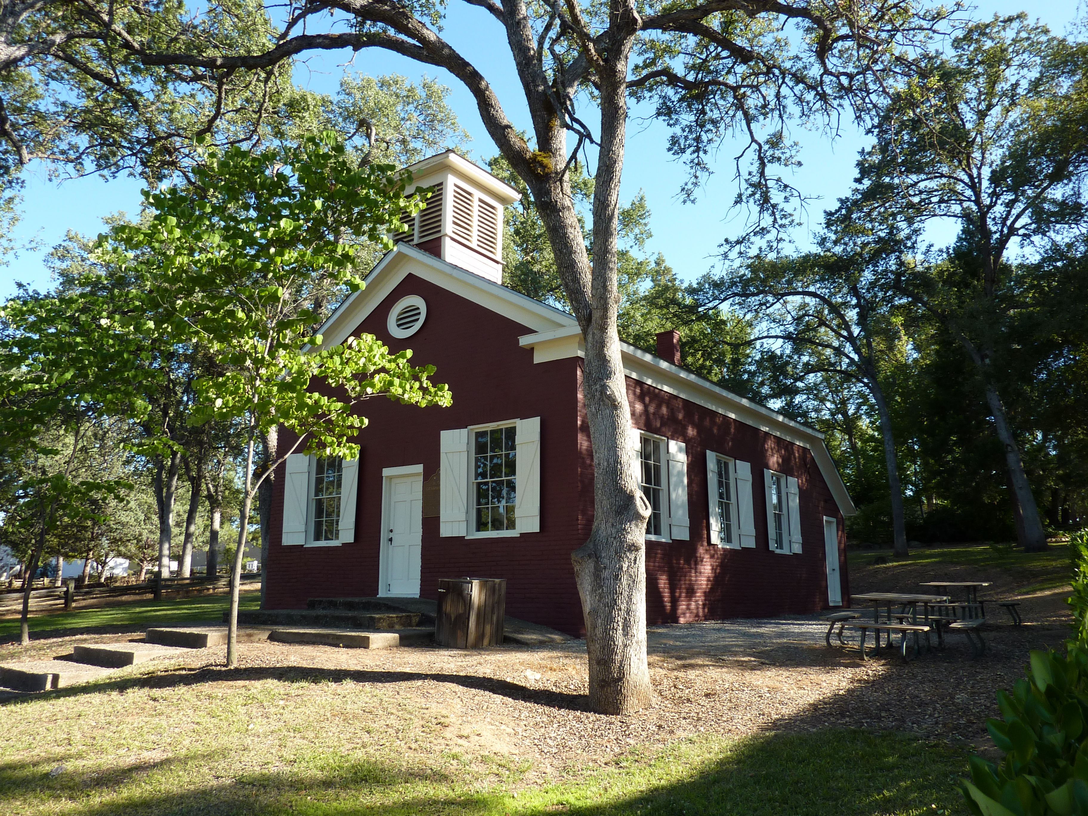
[3] Landmark name [4] Image Date listed Location City or town Summary 1 Altaville Grammar School 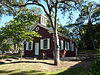
August 24, 1979 125 N. Main St.
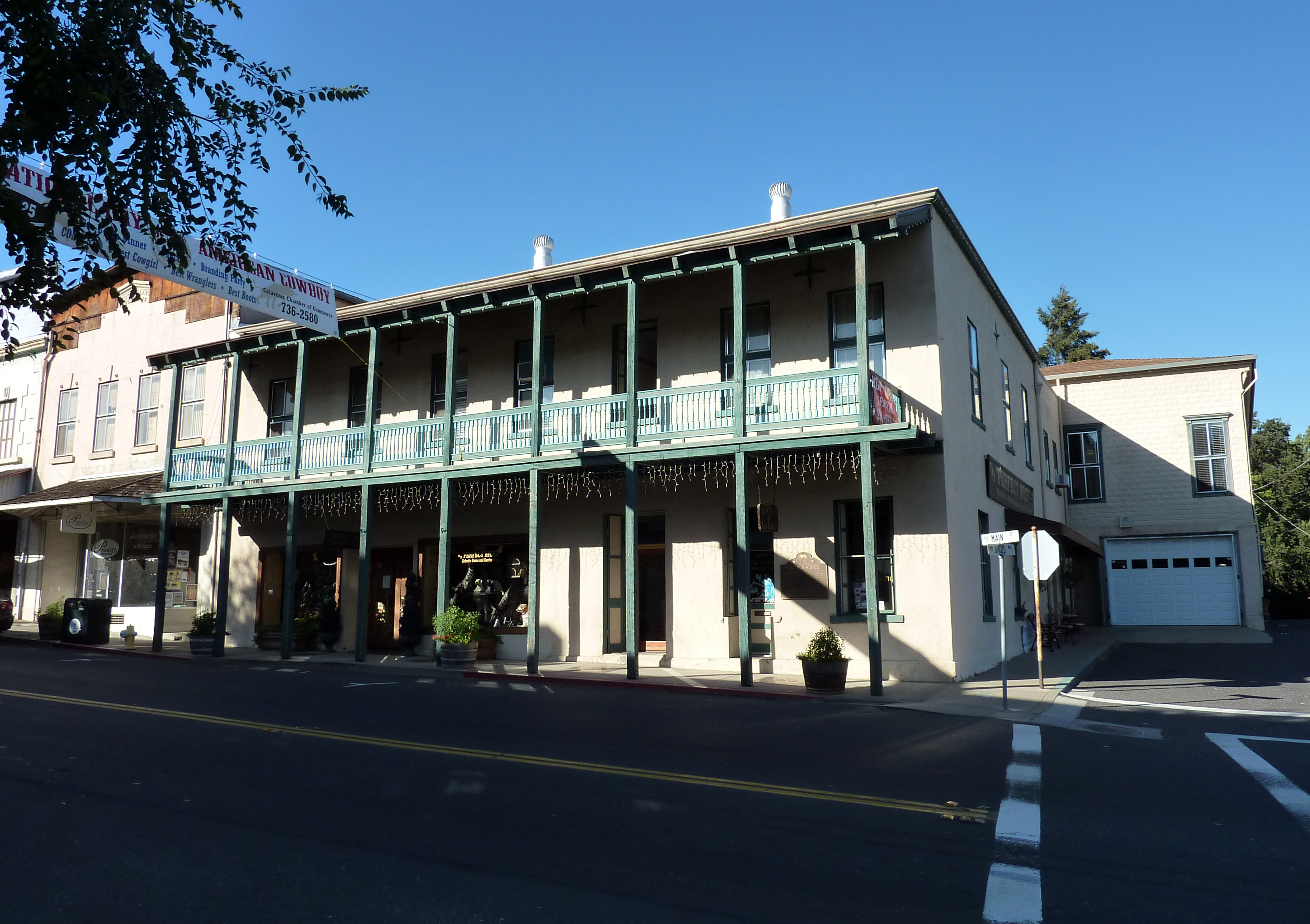
38°04′58″N 120°33′39″W / 38.082778°N 120.560833°WAltaville 2 Angels Hotel 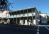
March 24, 1972 Main St. at Birds Way
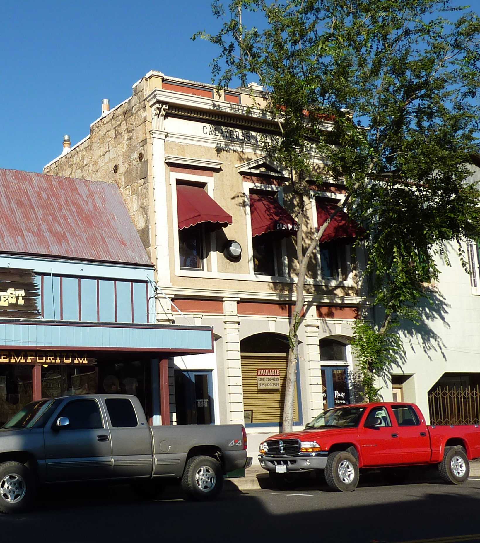
38°04′08″N 120°32′44″W / 38.068889°N 120.545556°WAngels Camp 3 Calaveras County Bank 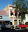
August 1, 1985 1239 Main St.
38°04′11″N 120°32′22″W / 38.069722°N 120.539444°WAngels Camp 4 Calaveras County Courthouse 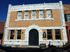
February 28, 1972 Main St.
38°11′48″N 120°40′45″W / 38.196667°N 120.679167°WSan Andreas 5 Sam Choy Brick Store 
September 20, 1984 Bird Way
38°04′09″N 120°32′18″W / 38.069167°N 120.538333°WAngels Camp 6 Copperopolis Armory 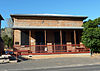
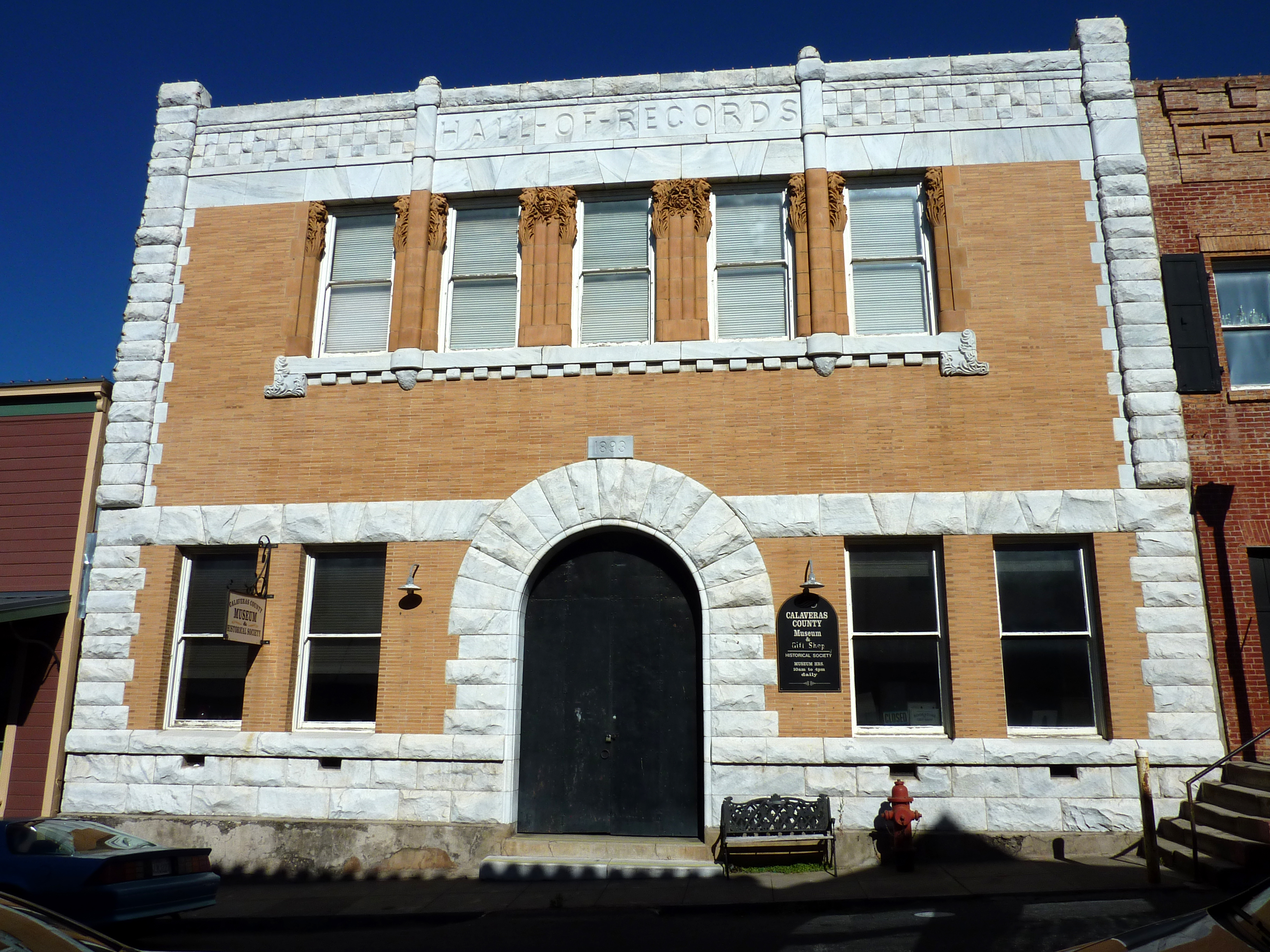
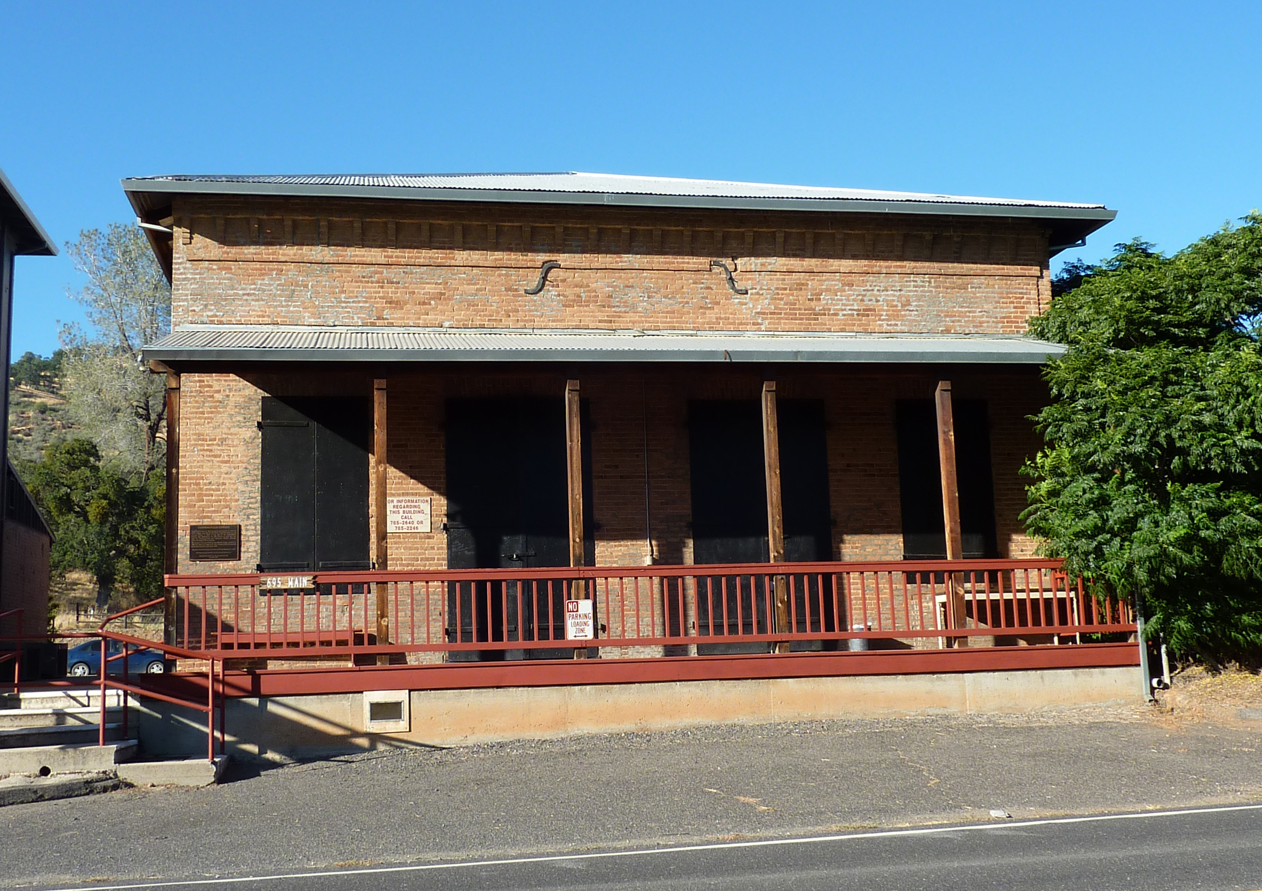
December 30, 1997 695 Main St.
37°58′34″N 120°38′04″W / 37.976111°N 120.634444°WCopperopolis 7 Copperopolis Congregational Church 
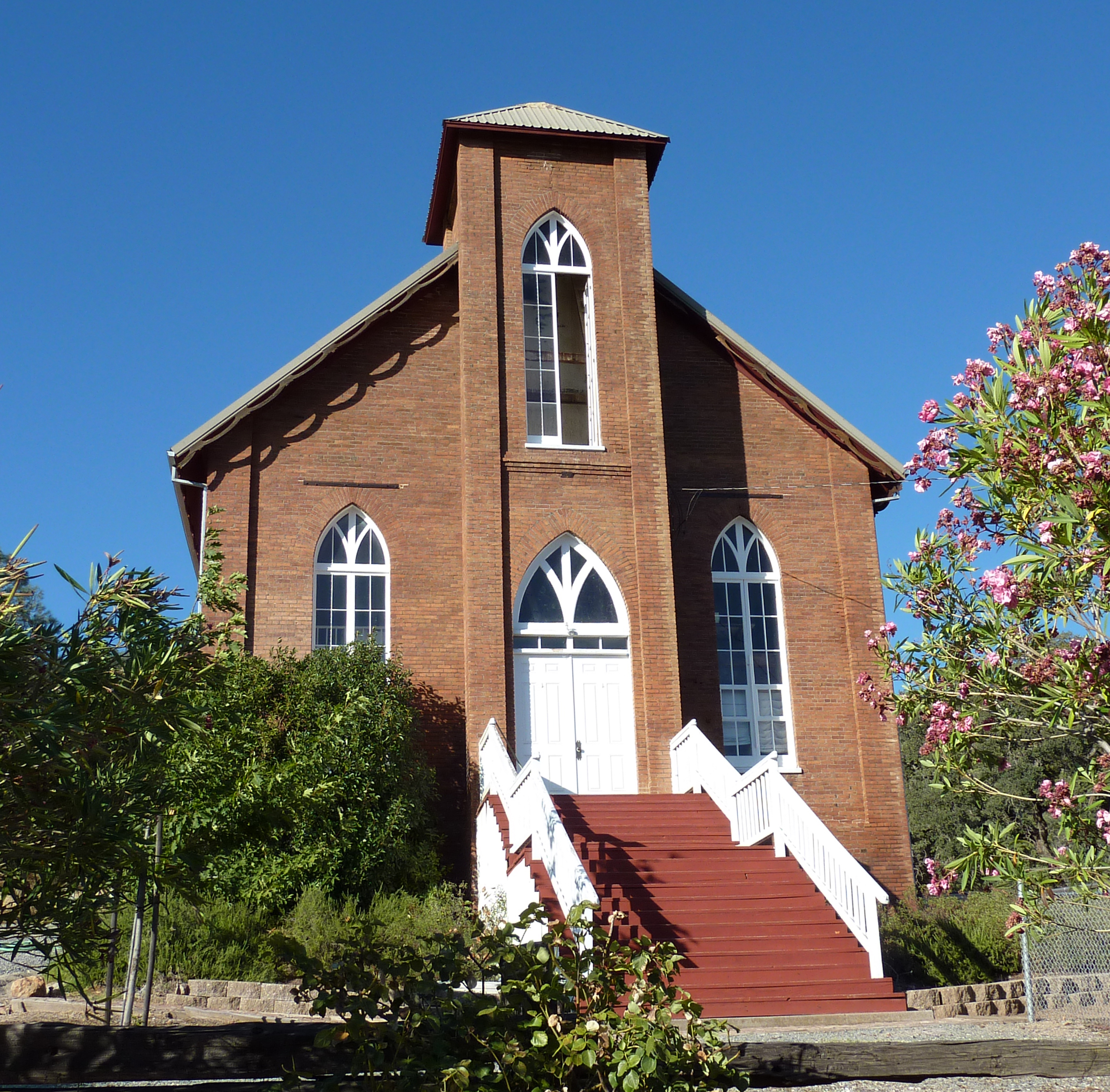
December 30, 1997 411 Main St.
37°58′47″N 120°38′16″W / 37.979722°N 120.637778°WCopperopolis 8 Douglas Flat School May 24, 1973 NE of Vallecito on SR 4
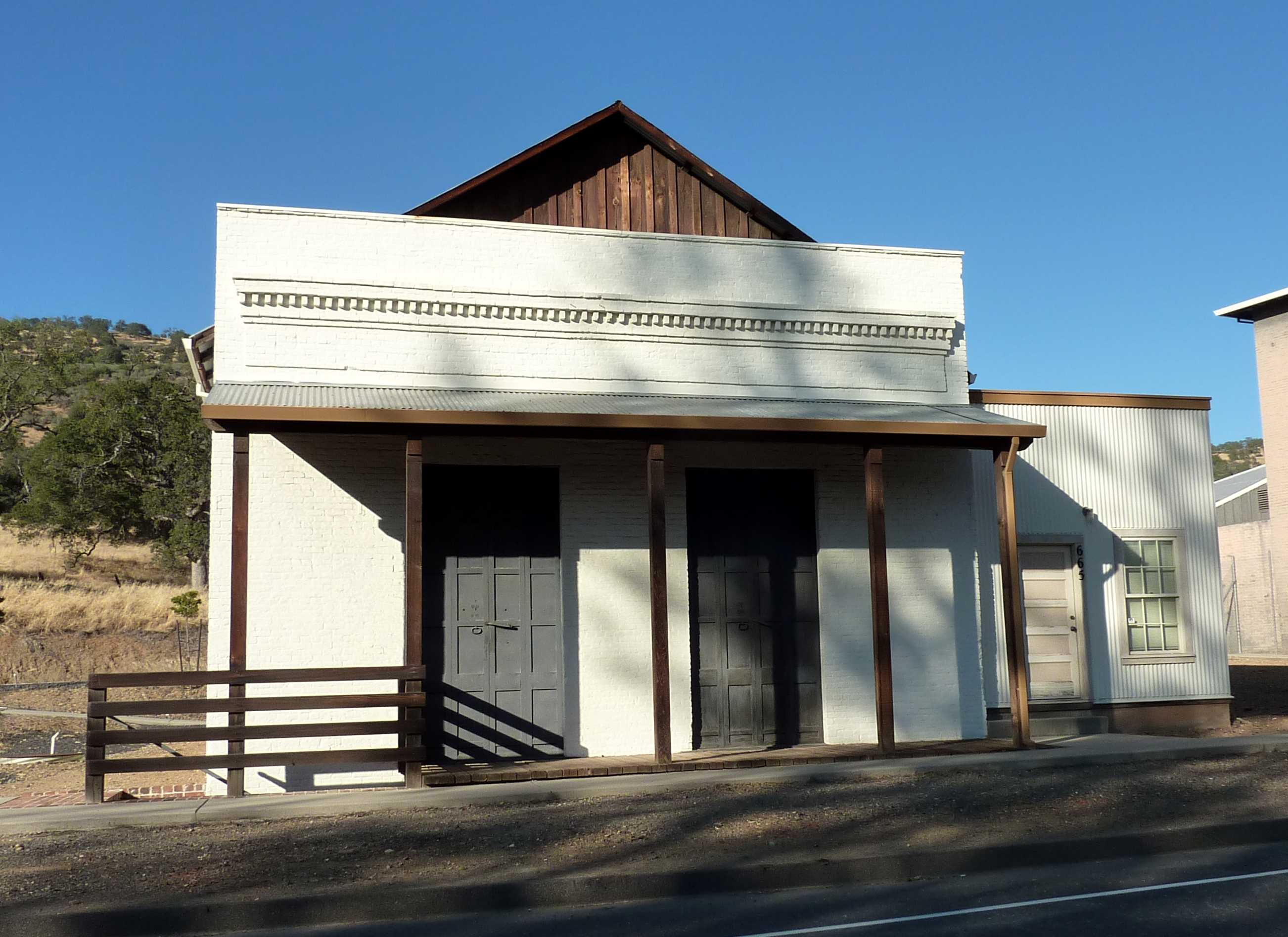
38°07′01″N 120°27′11″W / 38.116944°N 120.453056°WDouglas Flat 9 Honigsberger Store 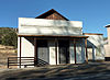
April 2, 1992 665 Main St.
37°58′34″N 120°38′07″W / 37.976111°N 120.635278°WCopperopolis 10 Murphys Grammar School June 8, 1973 Jones St.
38°08′08″N 120°27′24″W / 38.135556°N 120.456667°WMurphys 11 Murphys Hotel 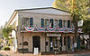
November 23, 1971 Main and Algiers Sts.
38°08′15″N 120°27′50″W / 38.1375°N 120.463889°WMurphys Also known as Mitchler Hotel 12 Reed's Store 
April 2, 1992 679 Main St.
37°58′34″N 120°38′05″W / 37.976111°N 120.634722°WCopperopolis 13 John J. Snyder House 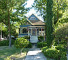
August 2, 1984 247 W. St. Charles St.
38°11′51″N 120°41′06″W / 38.1975°N 120.685°WSan Andreas 14 Thorn House 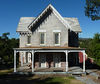
February 23, 1972 87 E. St. Charles St.
38°11′43″N 120°40′40″W / 38.195278°N 120.677778°WSan Andreas 15 Utica Mansion May 31, 1984 1103 Bush St.
38°04′16″N 120°32′32″W / 38.071111°N 120.542222°WAngels Camp See also
- National Register of Historic Places listings in California
- List of National Historic Landmarks in California
References
- ^ The latitude and longitude information provided in this table was derived originally from the National Register Information System, which has been found to be fairly accurate for about 99% of listings. For about 1% of NRIS original coordinates, experience has shown that one or both coordinates are typos or otherwise extremely far off; some corrections may have been made. A more subtle problem causes many locations to be off by up to 150 yards, depending on location in the country: most NRIS coordinates were derived from tracing out latitude and longitudes off of USGS topographical quadrant maps created under the North American Datum of 1927, which differs from the current, highly accurate WGS84 GPS system used by Google maps. Chicago is about right, but NRIS longitudes in Washington are higher by about 4.5 seconds, and are lower by about 2.0 seconds in Maine. Latitudes differ by about 1.0 second in Florida. Some locations in this table may have been corrected to current GPS standards.
- ^ "National Register of Historic Places: Weekly List Actions". National Park Service, United States Department of the Interior. Retrieved on November 10, 2011.
- ^ Numbers represent an ordering by significant words. Various colorings, defined here, differentiate National Historic Landmark sites and National Register of Historic Places Districts from other NRHP buildings, structures, sites or objects.
- ^ "National Register Information System". National Register of Historic Places. National Park Service. . http://nrhp.focus.nps.gov/natreg/docs/All_Data.html.
U.S. National Register of Historic Places Topics Lists by states Alabama • Alaska • Arizona • Arkansas • California • Colorado • Connecticut • Delaware • Florida • Georgia • Hawaii • Idaho • Illinois • Indiana • Iowa • Kansas • Kentucky • Louisiana • Maine • Maryland • Massachusetts • Michigan • Minnesota • Mississippi • Missouri • Montana • Nebraska • Nevada • New Hampshire • New Jersey • New Mexico • New York • North Carolina • North Dakota • Ohio • Oklahoma • Oregon • Pennsylvania • Rhode Island • South Carolina • South Dakota • Tennessee • Texas • Utah • Vermont • Virginia • Washington • West Virginia • Wisconsin • WyomingLists by territories Lists by associated states Other Municipalities and communities of Calaveras County, California City 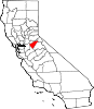
CDPs Arnold | Avery | Copperopolis | Dorrington | Forest Meadows | Mokelumne Hill | Mountain Ranch | Murphys | Rail Road Flat | Rancho Calaveras | San Andreas | Vallecito | Valley Springs | Wallace | West Point
Unincorporated
communitiesAlabama Hill | Big Bar | Big Meadow | Big Trees | Big Trees Village | Big Valley | Blue Lake Junction | Blue Lake Springs | Bummerville | Burson | Calaveritas | Camp Connell | Camp Pardee | Campo Seco | Canyon View | Carmen City | Cave City | Cedar Vista | Copper Cove Subdivision | Copper Cove Village | Cottage Springs | Douds Landing | Douglas Flat | Ebbetts Pass Highlands | Felix | Fisher Place | Fly-In Acres | Fort Jones | Fourth Crossing | Fuchs | Ganns | Glencoe | Goodmans Corner | Grizzly Ridge | Hams | Hanford Hill | Happy Valley | Hathaway Pines | Hathaways Mountain Pines | Independence | Indian Creek | Indian Hills | Jenny Lind | Jesus Maria | La Honda Park | Lake Camanche Ranches | Lakemont Pines | Lakeside Terrace | Lilac Park | Lombardi | Lost City | Lynn Park Acres | Manuel Mill | McKay | Meadowmont | Milton | Mother Lode Acres | Mountain Ranch Subdivision | Mountain Retreat | Mumbert Acres | Oak Grove | Oak Park Estates | Paloma | Pinebrook | Ponderosa Park | Porter | Quail Oaks | Red Apple | Rich Gulch | Rocky Hill | Sandoz | Sandy Gulch | Scenic Valley Ranchos | Sheep Ranch | Sherman Acres | Skyhigh | Snowshoe Springs | South Camanche Shore | Sunset Point | Tamarack | Tamarack Springs | Telegraph City | The Shores of Poker Flat | Timber Trails | Toyanza Subdivision | Toyon | White Pines | Wilseyville | Wyldewood
Former
settlementsAltaville | Antelope House | Balaklava Hill | Blue Mountain | Brownsville | Buckeye Hill | Camanche | Camp Spirito | Carson Hill | Chichi | El Dorado Bar | Fremont Valley | Greasertown | Hodson | Independence Flat | Lower Calaveritas | Mammoth Cave | McLeans Bar | McLeans Ferry | Melones | Mill Valley | North American House | Norval | Oregon Bar | Pattees Ranch | Poverty Bar | Sandy Bar | Spanish Bar | Stony Bar | Stoutenburg | Taylors Bar | Tremont House | Yaqui Camp
Categories:- History of Calaveras County, California
- History of the Sierra Nevada (U.S.)
- National Register of Historic Places in California by county
- Lists of National Register of Historic Places in California
- Calaveras County, California
- California Gold Rush
-


Wikimedia Foundation. 2010.