- National Register of Historic Places listings in Jefferson County, Missouri
-
This is a list of properties and historic districts in Jefferson County, Missouri, that are listed on the National Register of Historic Places. .
Contents: Counties in Missouri A–B · C · D–I · J–K · L–N · O–St. · St. Louis · Ste.–Z -
- This National Park Service list is complete through NPS recent listings posted November 10, 2011.[1]
Current listings
Landmark name Image Date listed Location City or Town Summary 1 Beaumont-Tyson Quarry District 
October 10, 1974 Address Restricted Times Beach 2 Boemler Archeological District October 1, 1974 Address Restricted Byrnes Mill 3 Boland Archeological District October 1, 1974 Address Restricted Times Beach 4 Central School Campus October 8, 2009 221 S. 3rd. St.
38°8′17.85″N 90°33′23.39″W / 38.1382917°N 90.5564972°WDe Soto 5 Thomas C. Fletcher House November 19, 1974 Elm between 1st and 2nd Sts.
38°13′55″N 90°34′2″W / 38.23194°N 90.56722°WHillsboro 6 Gustave Greystone-Meissner House December 31, 1974 Northeast of Pevely off U.S. 61
38°18′13″N 90°22′48″W / 38.30361°N 90.38°WPevely 7 Kimmswick Bone Bed November 5, 1980 Address Restricted Imperial 8 Kimmswick Historic District July 24, 2007 Roughly bounded by Front St., Fourth St., Mill St., Elm St. and Oak St.
38°21′59.78″N 90°21′50.95″W / 38.3666056°N 90.3641528°WKimmswick 9 Valentine Leight General Store August 18, 1992 4566 Main St.
38°24′37″N 90°34′9″W / 38.41028°N 90.56917°WHouse Springs 10 Moder Archeological District October 16, 1974 Address Restricted House Springs 11 Louis J. and Harriet Rozier House April 5, 2006 322 W. Clement
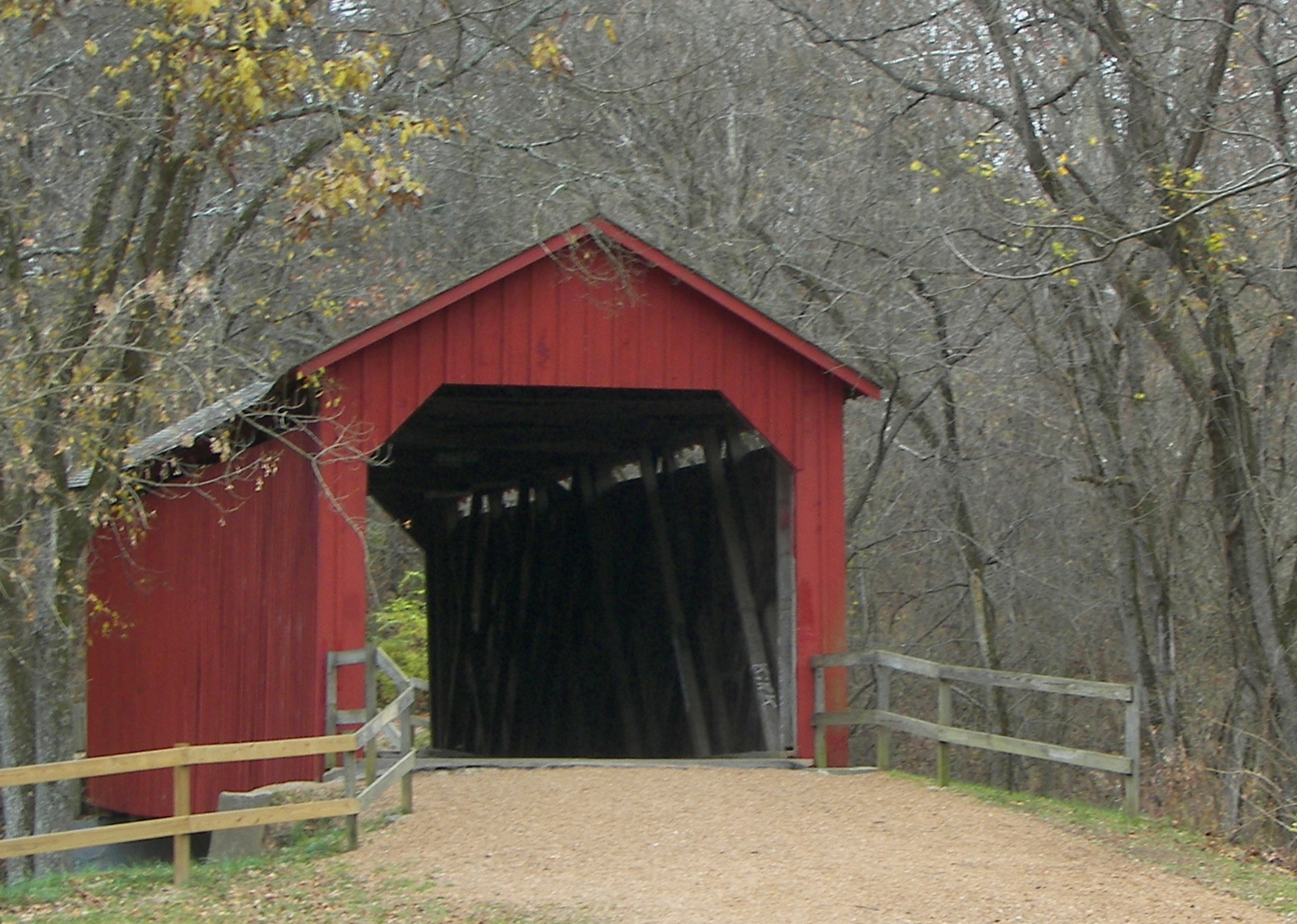
38°8′16″N 90°33′27″W / 38.13778°N 90.5575°WDeSoto 12 Sandy Creek Covered Bridge 
July 8, 1970 5 mi. N of Hillsboro off U.S. 21
38°17′38″N 90°31′5″W / 38.29389°N 90.51806°WHillsboro 13 Stonebrook January 14, 2011 3511 Stonebrook Forest Dr.
38°21′38″N 90°27′44″W / 38.36056°N 90.46222°WAntonia vicinity 14 Windsor Harbor Road Bridge 
September 8, 1983 Windsor Harbor Rd. at Rock Creek
38°21′50″N 90°21′44″W / 38.36389°N 90.36222°WKimmswick References
- ^ "National Register of Historic Places: Weekly List Actions". National Park Service, United States Department of the Interior. Retrieved on November 10, 2011.
Municipalities and communities of Jefferson County, Missouri Cities Arnold | Byrnes Mill | Crystal City | De Soto | Festus | Herculaneum | Hillsboro | Kimmswick | Olympian Village | Pevely

Villages Cedar Hill Lakes | Parkdale | Peaceful Village | Scotsdale
CDPs Barnhart | Cedar Hill | High Ridge | Horine | Imperial | Murphy
Unincorporated
communitiesDittmer | Fletcher | Grubville | Hematite | House Springs | Liguori | Mapaville | Morse Mill | Sulphur Springs | Valles Mines
U.S. National Register of Historic Places Topics Lists by states Alabama • Alaska • Arizona • Arkansas • California • Colorado • Connecticut • Delaware • Florida • Georgia • Hawaii • Idaho • Illinois • Indiana • Iowa • Kansas • Kentucky • Louisiana • Maine • Maryland • Massachusetts • Michigan • Minnesota • Mississippi • Missouri • Montana • Nebraska • Nevada • New Hampshire • New Jersey • New Mexico • New York • North Carolina • North Dakota • Ohio • Oklahoma • Oregon • Pennsylvania • Rhode Island • South Carolina • South Dakota • Tennessee • Texas • Utah • Vermont • Virginia • Washington • West Virginia • Wisconsin • WyomingLists by territories Lists by associated states Other Categories:- Jefferson County, Missouri
- National Register of Historic Places in Missouri
-

Wikimedia Foundation. 2010.