- National Register of Historic Places listings in Boulder County, Colorado
-
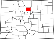
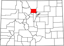 Location of Boulder County in Colorado
This is a list of the National Register of Historic Places listings in Boulder County, Colorado.
This is intended to be a complete list of the properties and districts on the National Register of Historic Places in Boulder County, Colorado, United States. The locations of National Register properties and districts for which the latitude and longitude coordinates are included below, may be seen in a Google map.[1]
There are 78 properties and districts listed on the National Register in the county, including 1 National Historic Landmark.
-
- This National Park Service list is complete through NPS recent listings posted November 10, 2011.[2]
Current listings
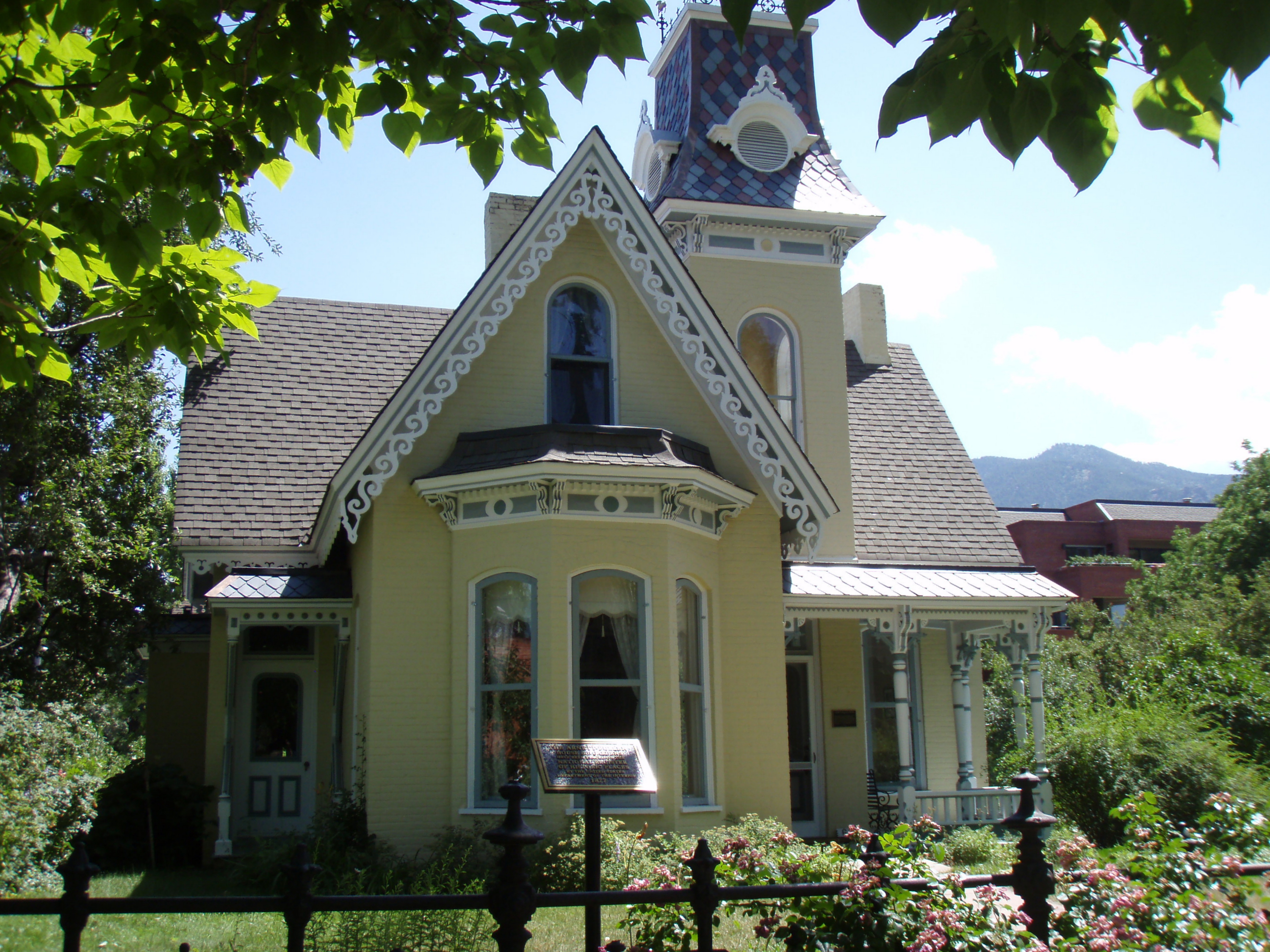
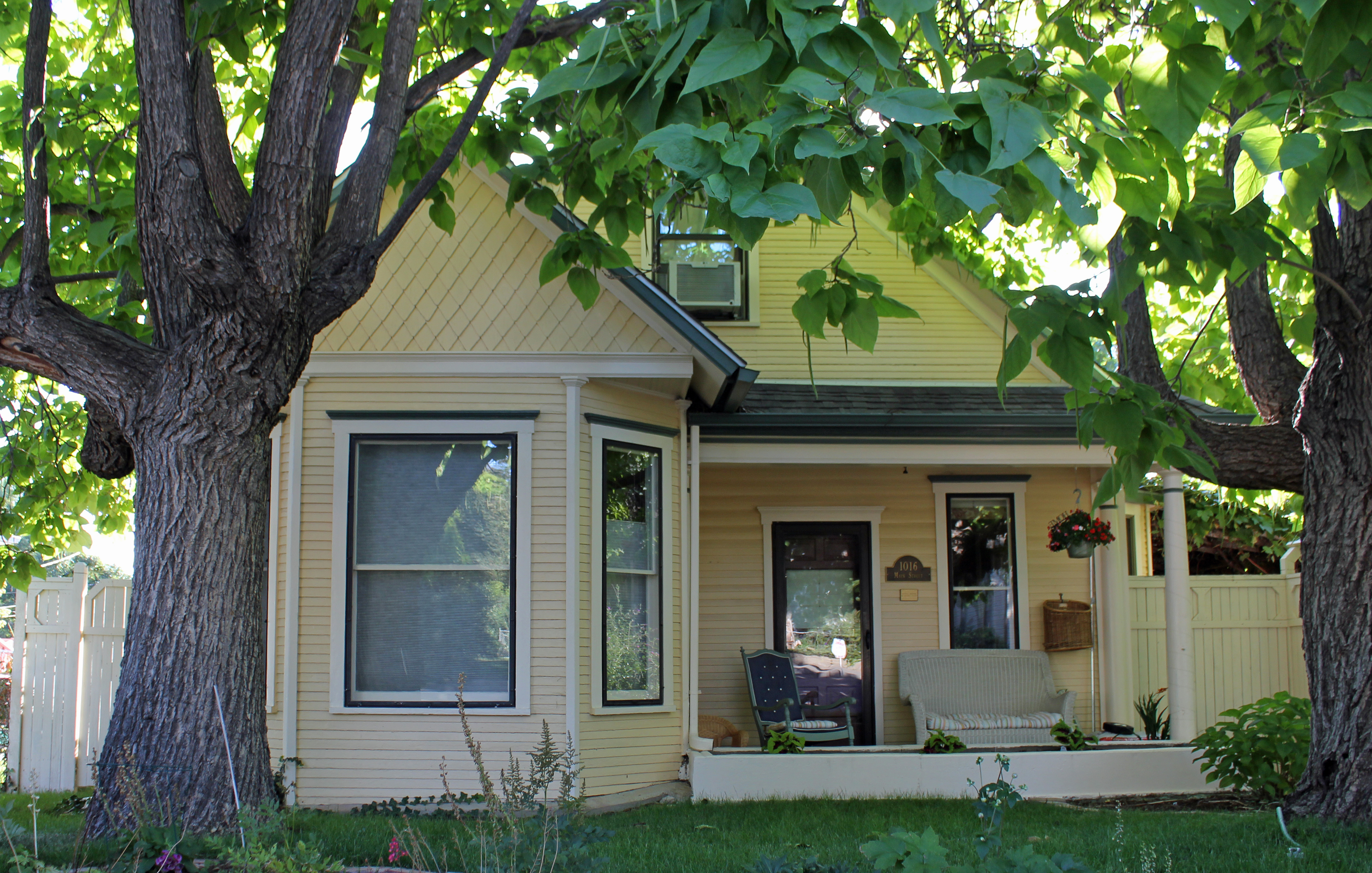
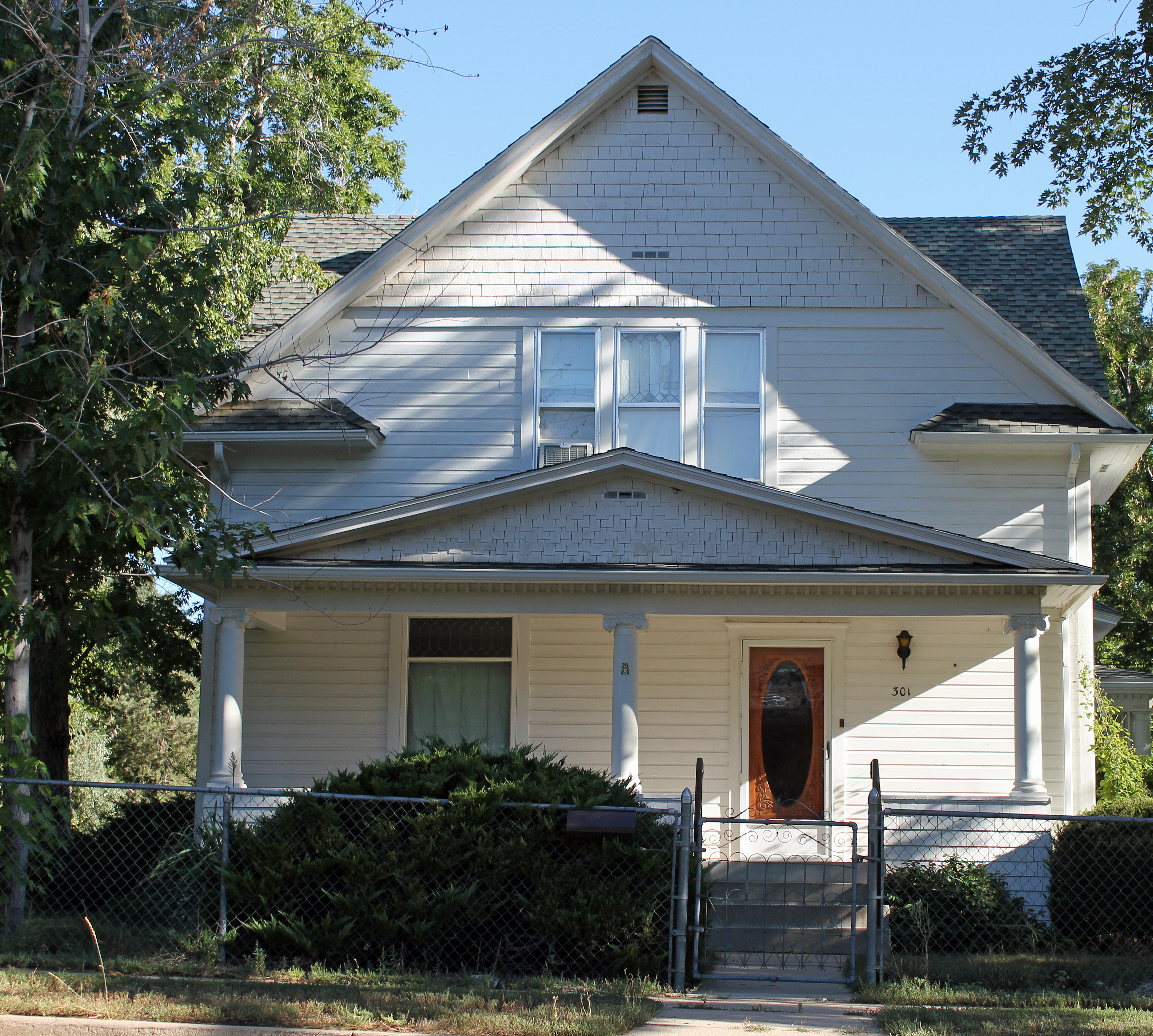
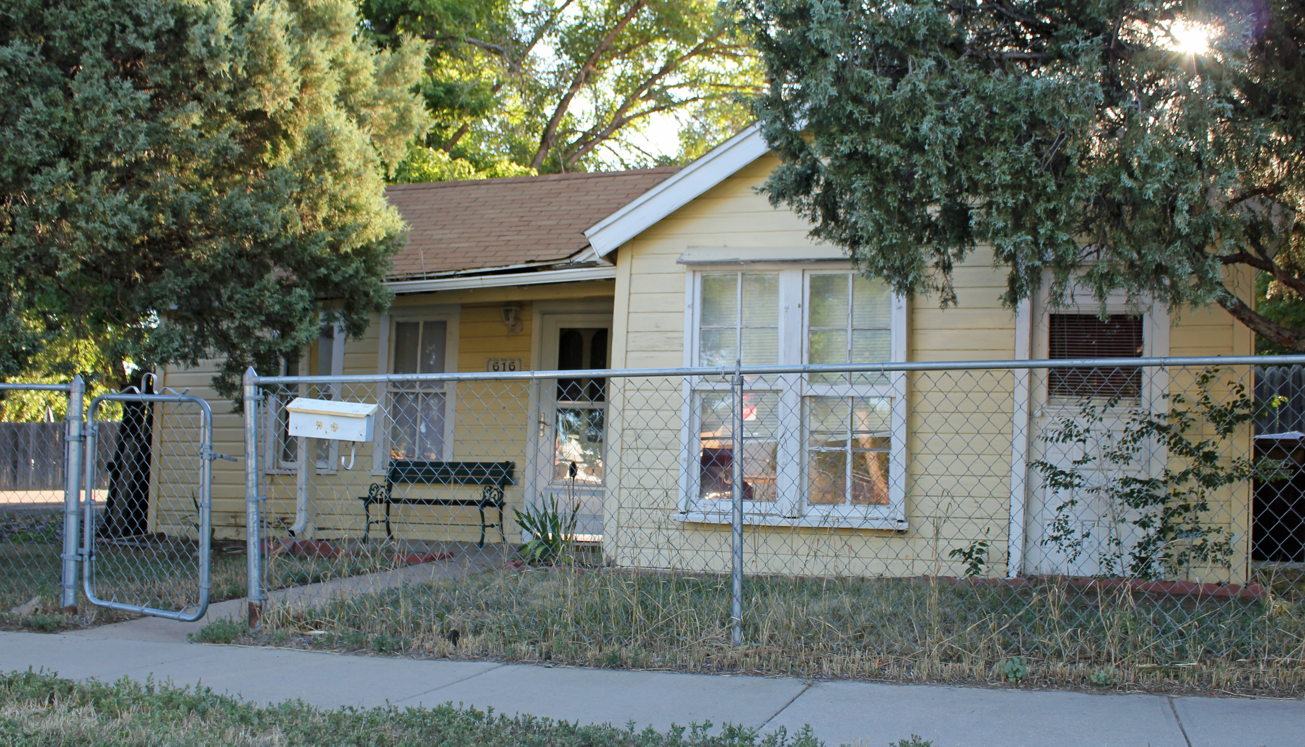
[3] Landmark name Image Date listed Location City or town Summary 1 Arnett-Fullen House 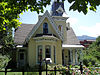
January 29, 2009 646 Pearl St.
40°00′58″N 105°17′12″W / 40.016194°N 105.286664°WBoulder 2 Boulder County Poor Farm 
September 13, 2001 63rd St. near its junction with Jay Rd.
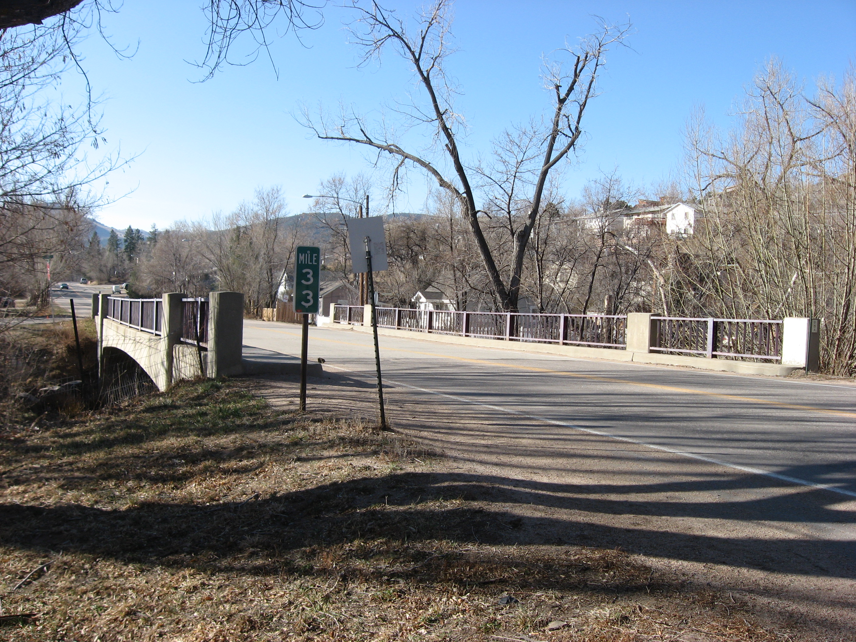
40°2′44″N 105°12′22.8″W / 40.04556°N 105.206333°W[4]Boulder 3 Boulder Creek Bridge March 11, 2003 State Highway 119 at milepost 39.13
40°00′52″N 105°19′12″W / 40.014444°N 105.32°WBoulder 4 Boulder Valley Grange No. 131 
December 7, 1987 3400 N. 95th St.
40°02′13″N 105°07′48″W / 40.036944°N 105.13°WLafayette 5 Bunce School May 22, 1986 State Highway 7 south of Allenspark
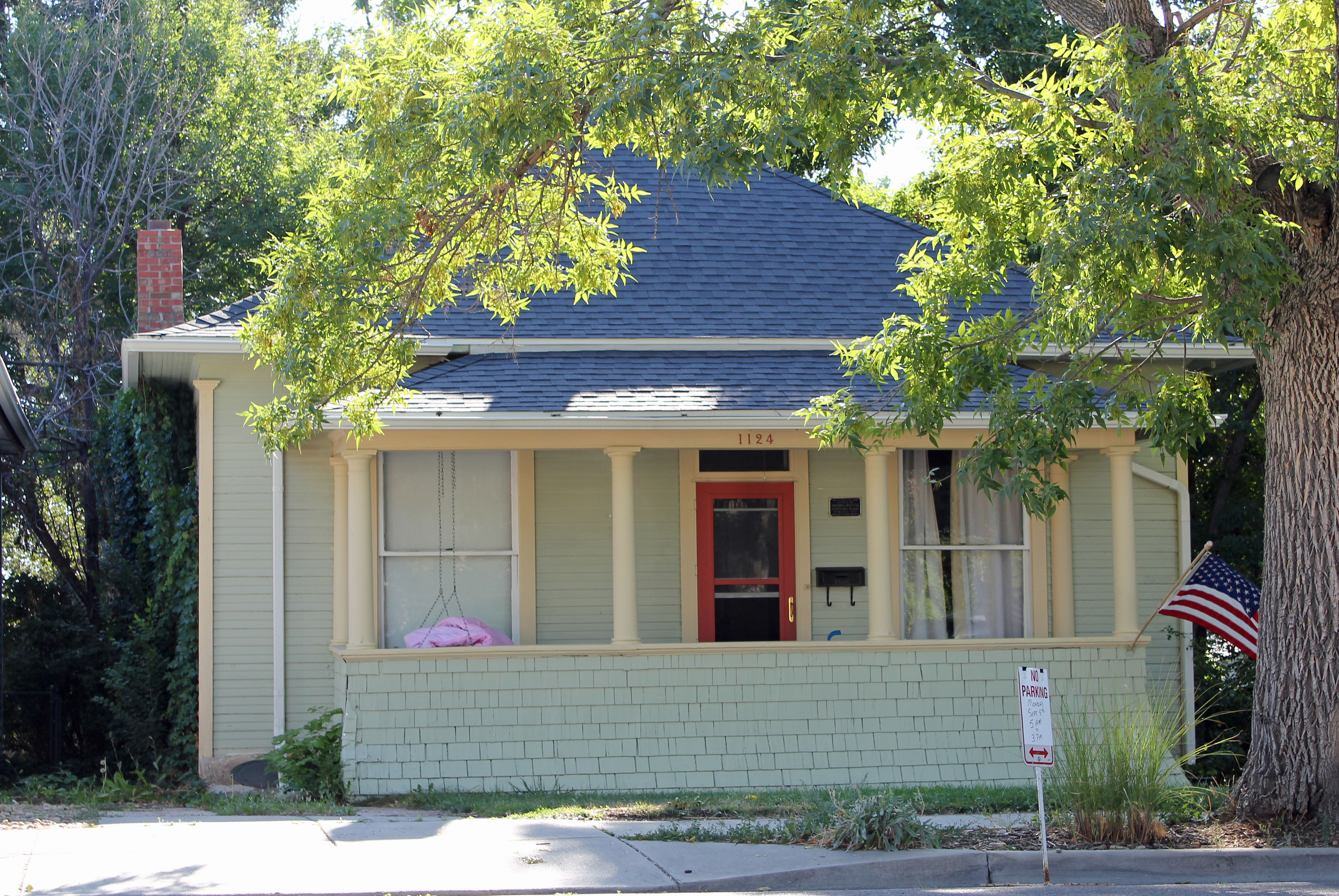
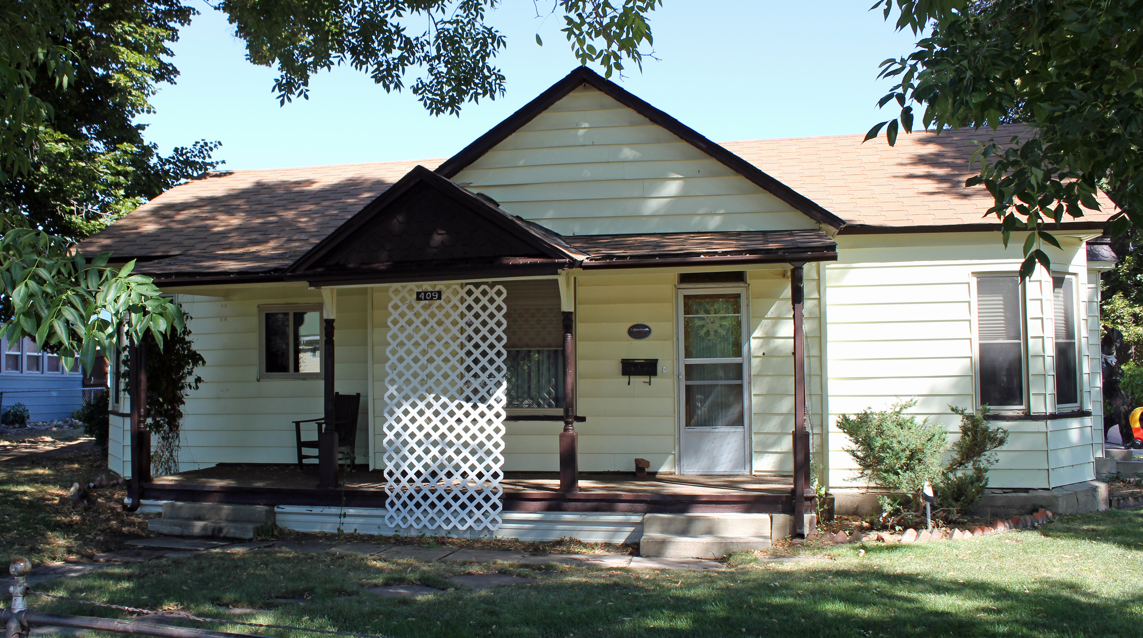
40°10′24″N 105°28′06″W / 40.173333°N 105.468333°WAllenspark 6 T.M. Callahan House 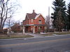
May 16, 1985 312 Terry St.
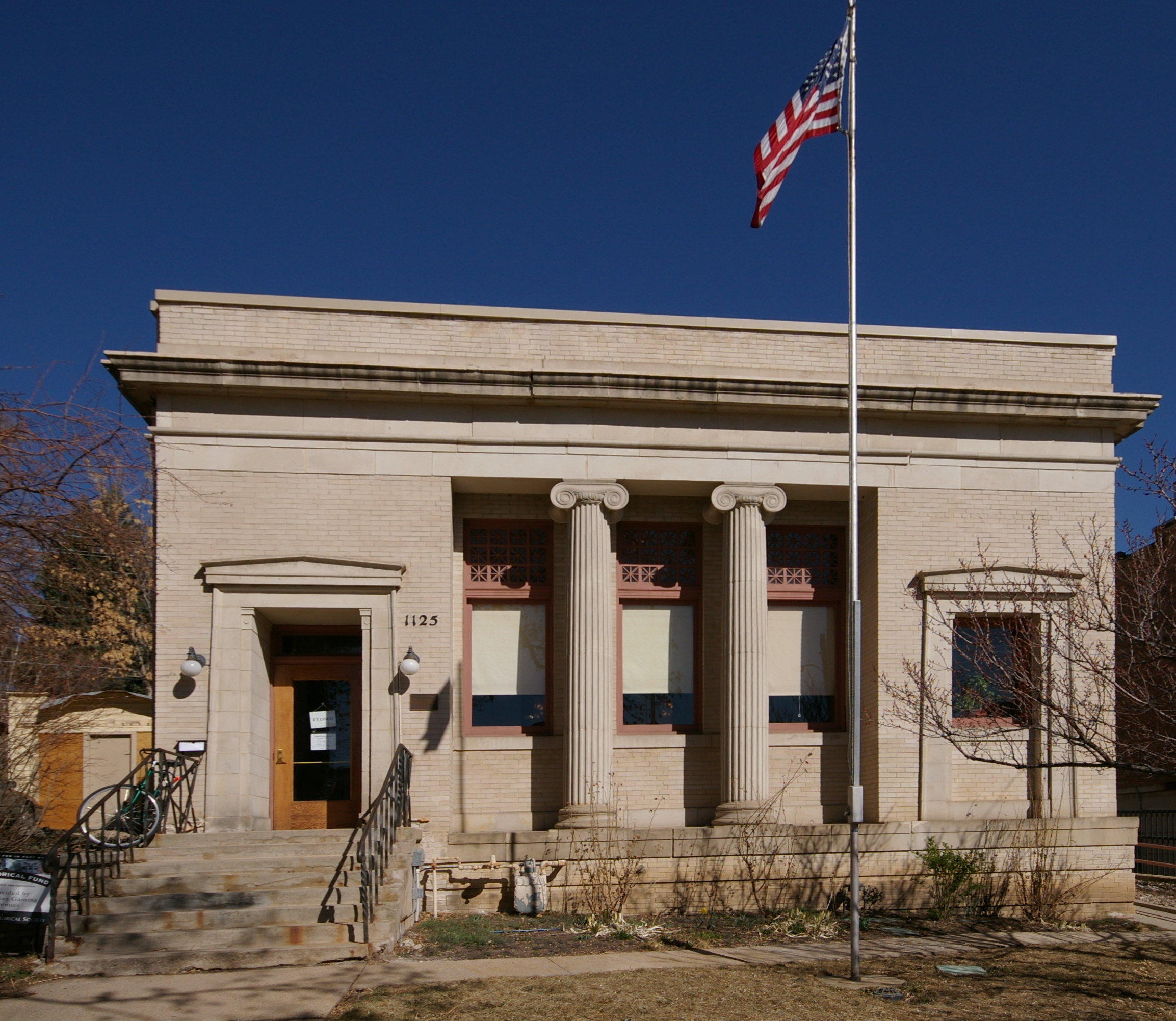
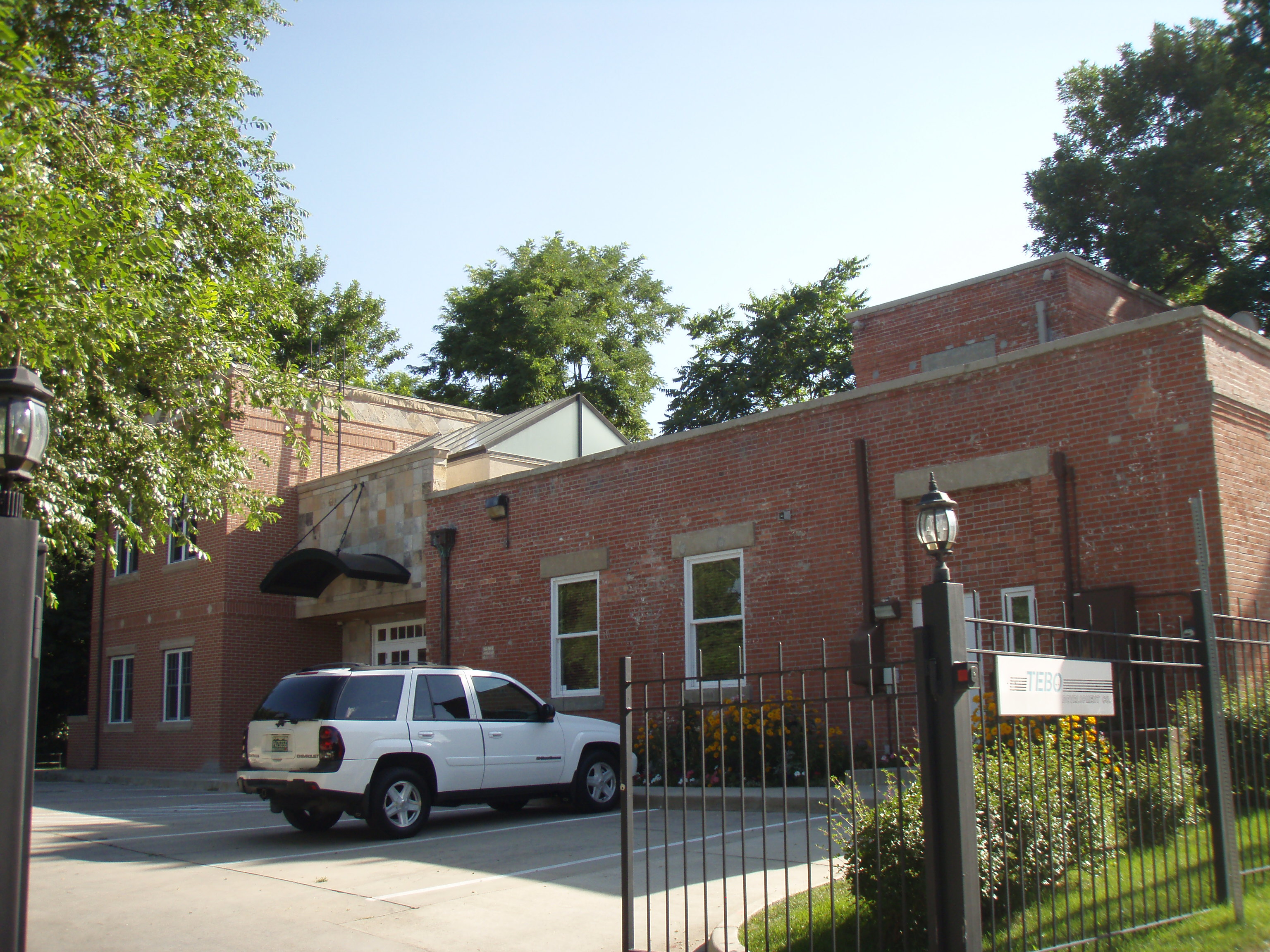
40°09′51″N 105°06′15″W / 40.164167°N 105.104167°WLongmont 7 Carnegie Library 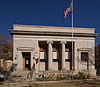
February 16, 1979 1125 Pine St.
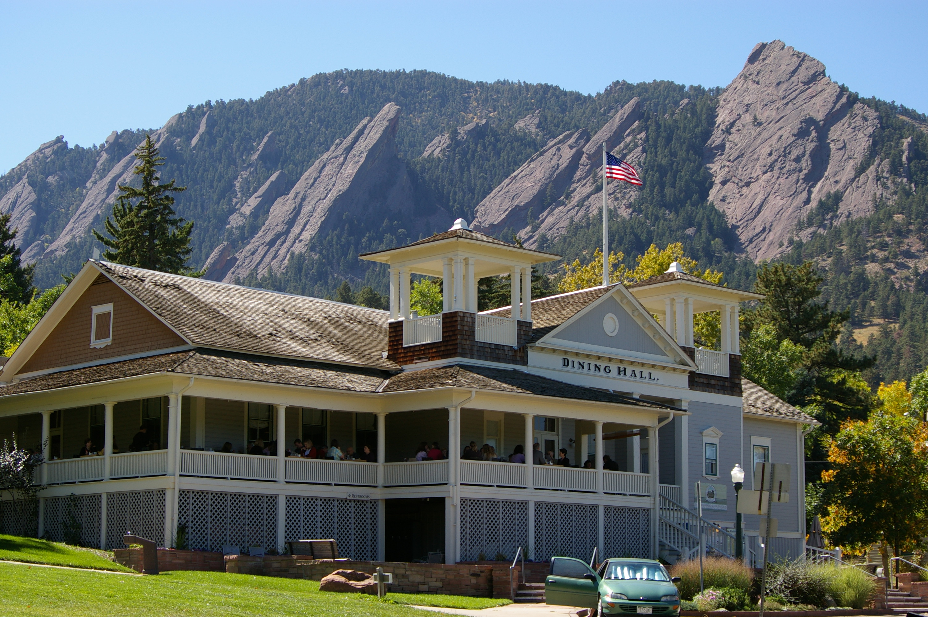
40°01′12″N 105°16′52″W / 40.02°N 105.281111°WBoulder 8 Chautauqua Auditorium 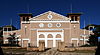
January 21, 1974 Chautauqua Park
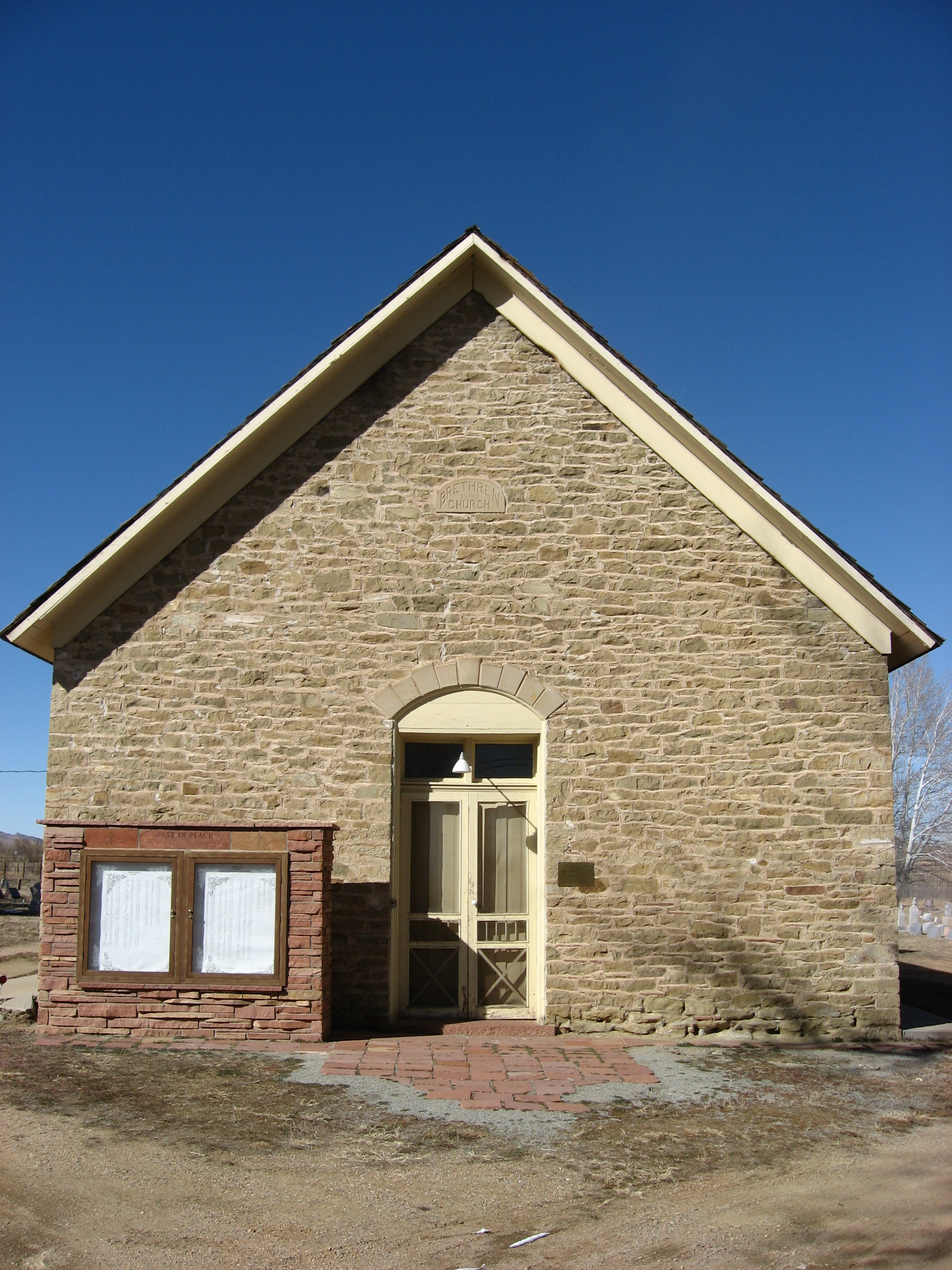
39°59′51″N 105°16′47″W / 39.9975°N 105.279722°WBoulder 9 Church of the Brethren 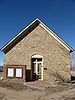
January 5, 1984 17th Ave.
40°11′19″N 105°10′06″W / 40.188611°N 105.168333°WHygiene 10 Colorado Chautauqua 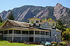
March 21, 1978 900 Baseline Rd., Chautauqua Park
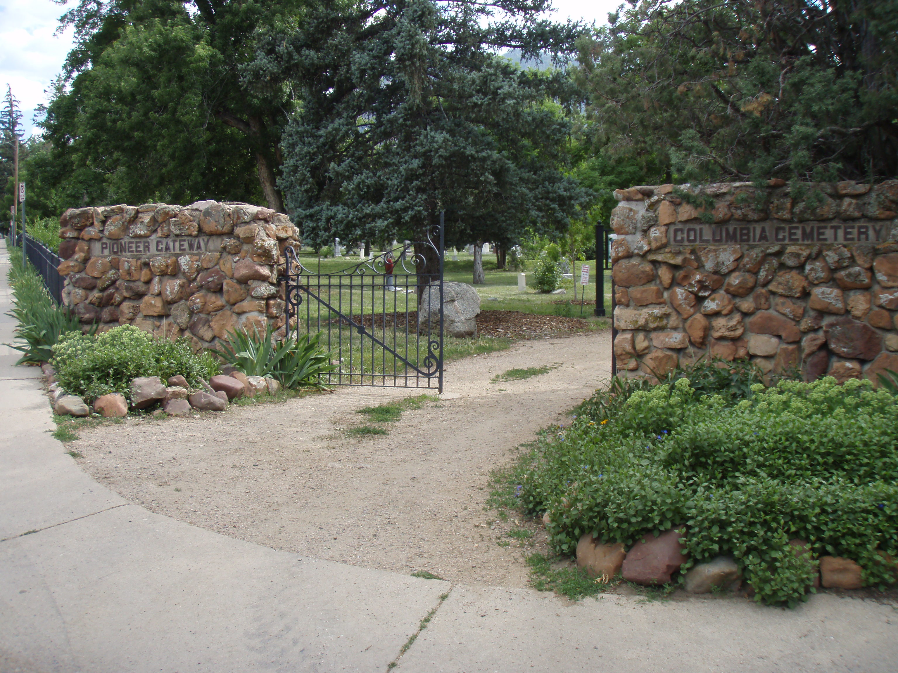
39°59′52″N 105°16′50″W / 39.997778°N 105.280556°WBoulder 11 Columbia Cemetery 
August 1, 1997 Along 9th St., bounded by Pleasant and College Aves.
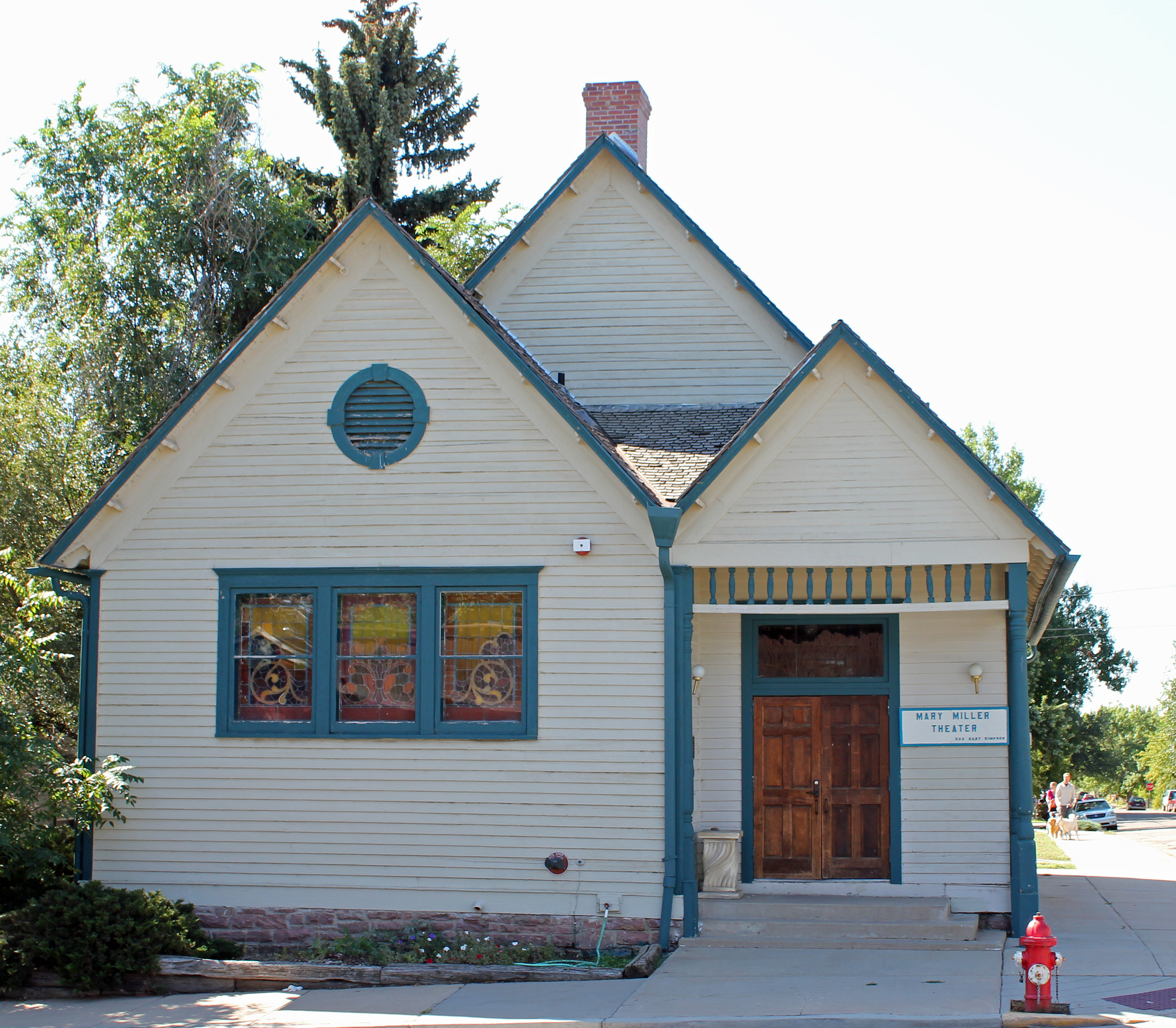
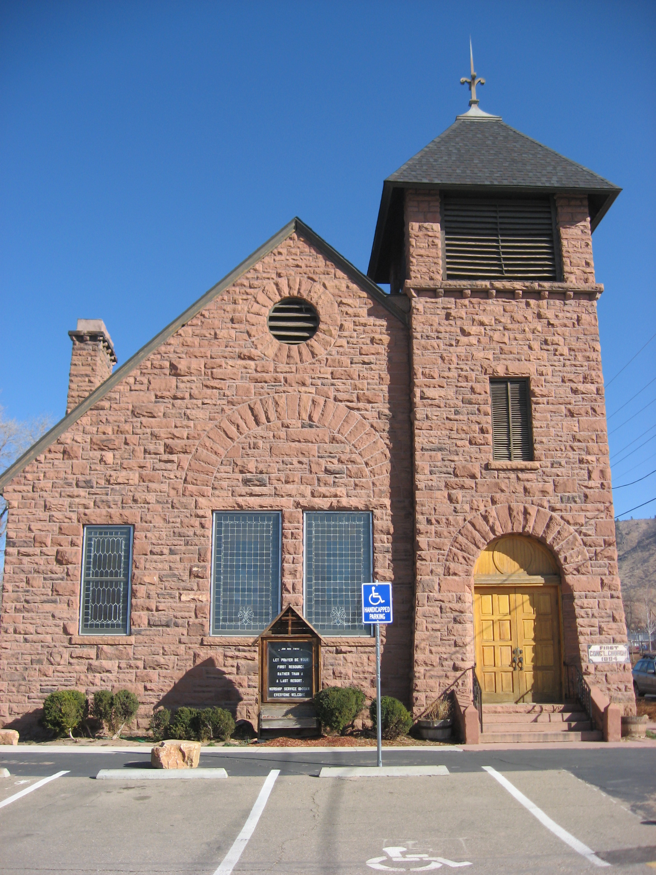
40°00′30″N 105°16′58″W / 40.008333°N 105.282778°WBoulder 12 Congregational Church 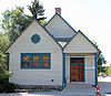
May 20, 1983 300 E. Simpson St.
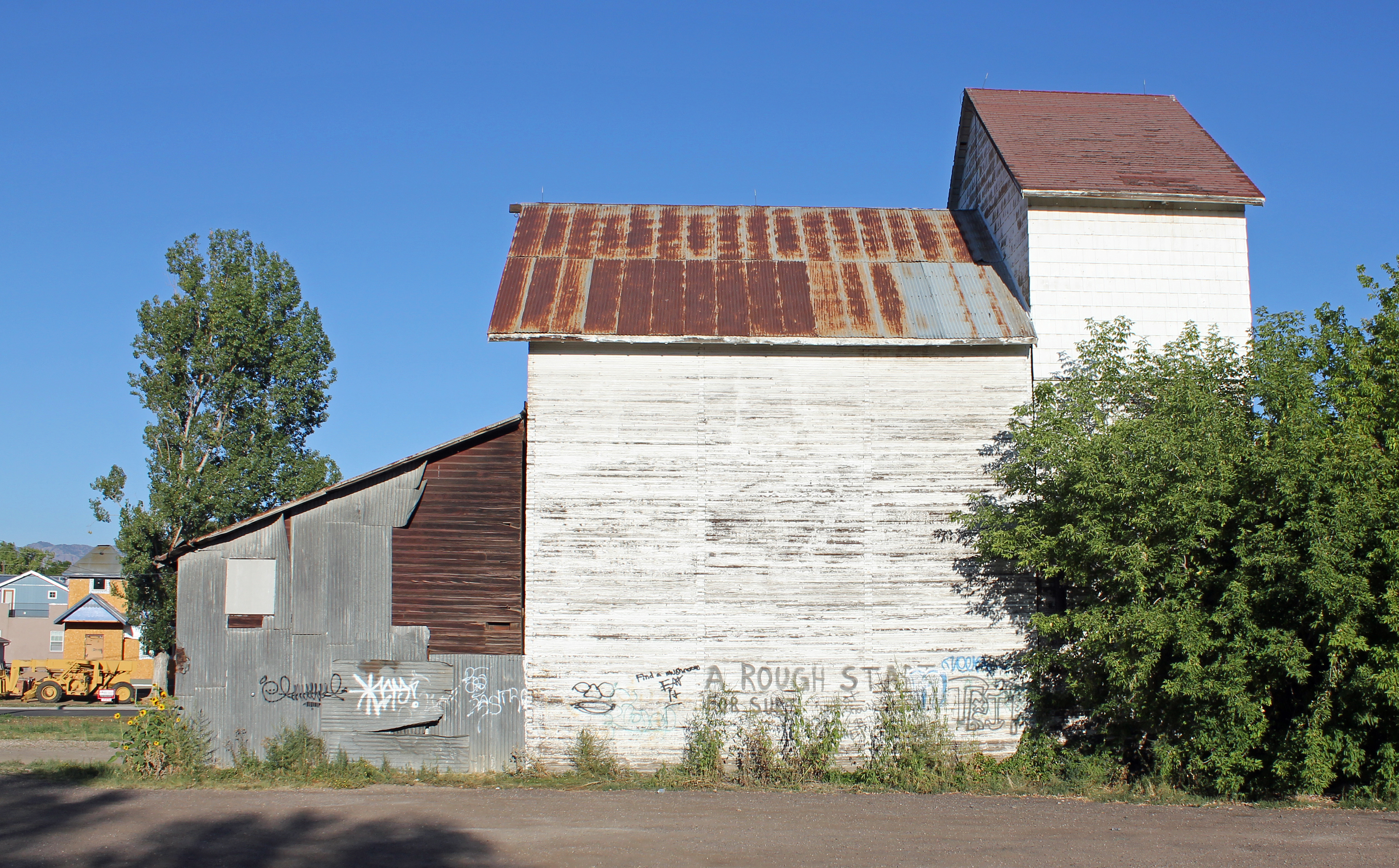
39°59′53″N 105°05′15″W / 39.998056°N 105.0875°WLafayette 13 Denver Elevator-Grain Elevator 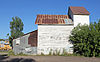
February 14, 1986 Tract 712 near State Highway 42
39°58′36″N 105°07′45″W / 39.976667°N 105.129167°WLouisville 14 Denver, Boulder and Western Railway Historic District September 18, 1980 State Highway 72
40°00′27″N 105°29′58″W / 40.0075°N 105.499444°WWard 15 Denver, Northwestern and Pacific Railway Historic District September 30, 1980 Southwest of Eldora
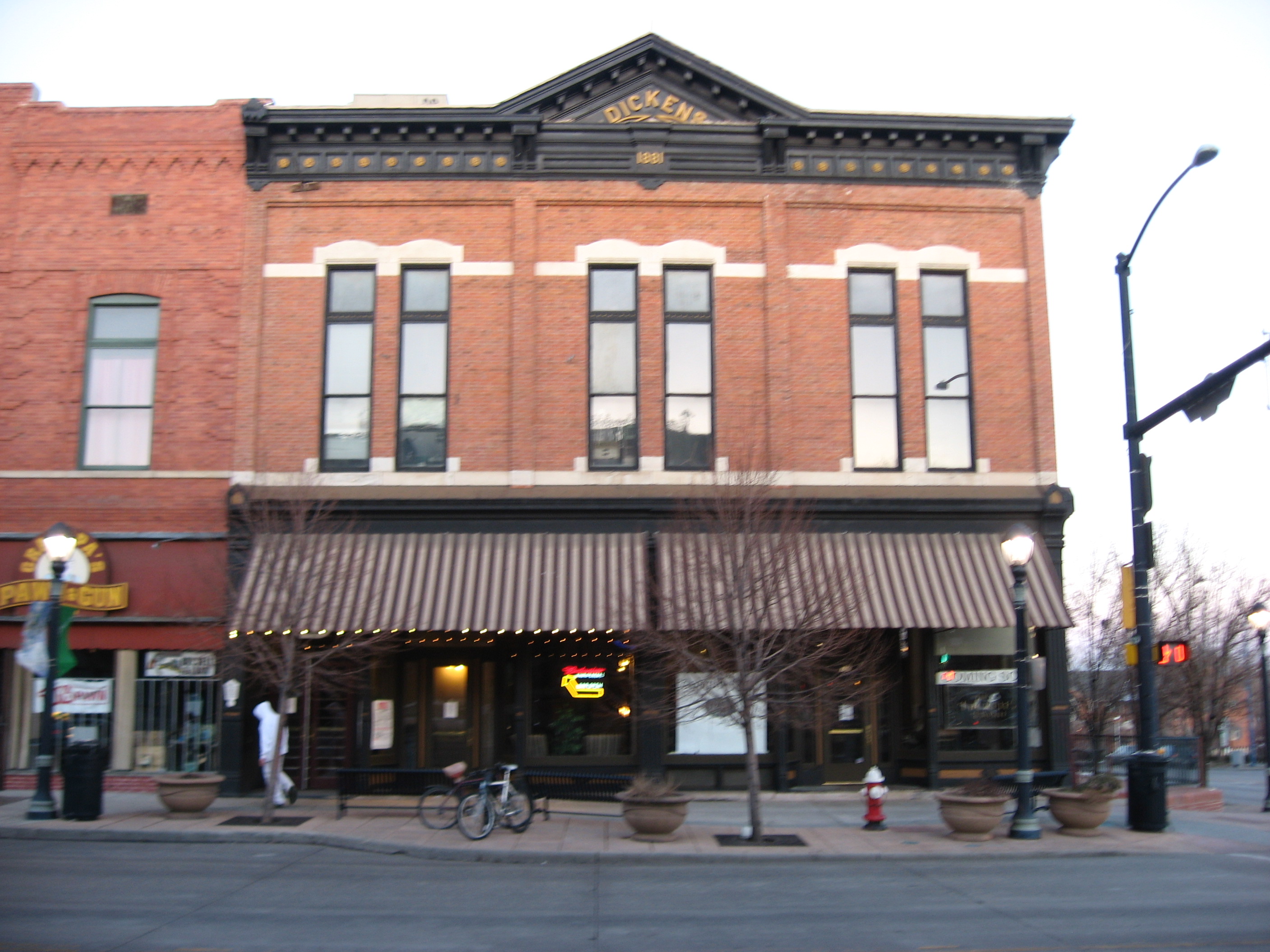
39°54′52″N 105°41′10″W / 39.914444°N 105.686111°WEldora 16 Dickens Opera House 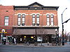
July 28, 1987 300 Main St.
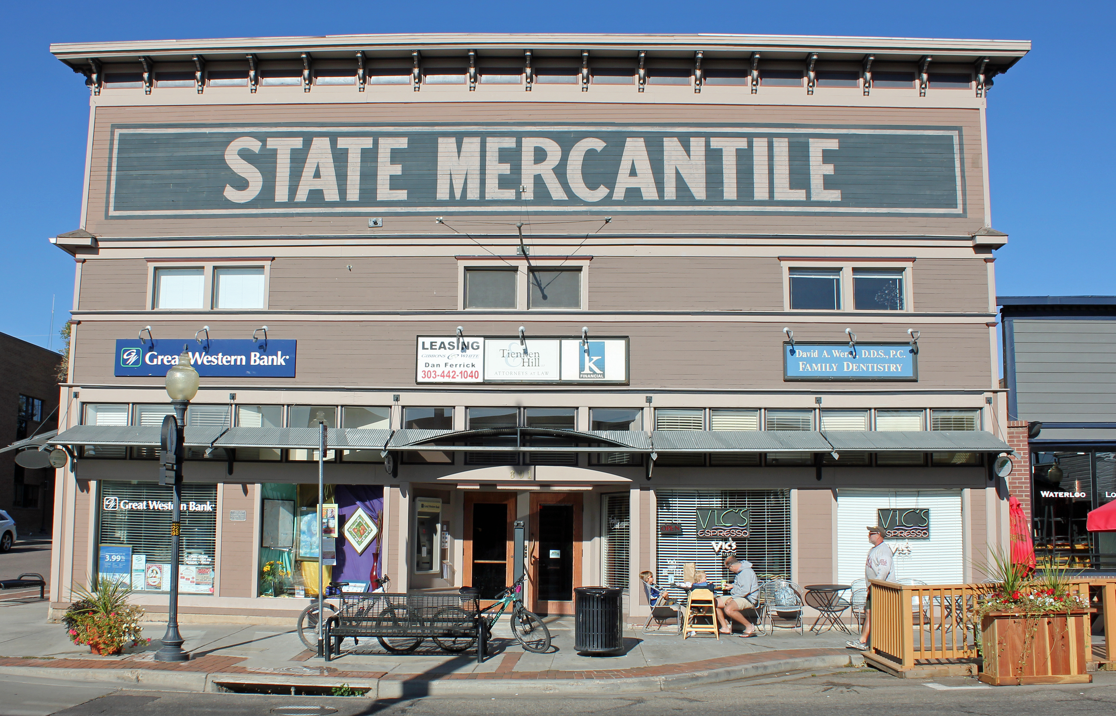
40°09′52″N 105°06′06″W / 40.164444°N 105.101667°WLongmont 17 Downtown Boulder Historic District 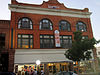
December 3, 1980 State Highway 119
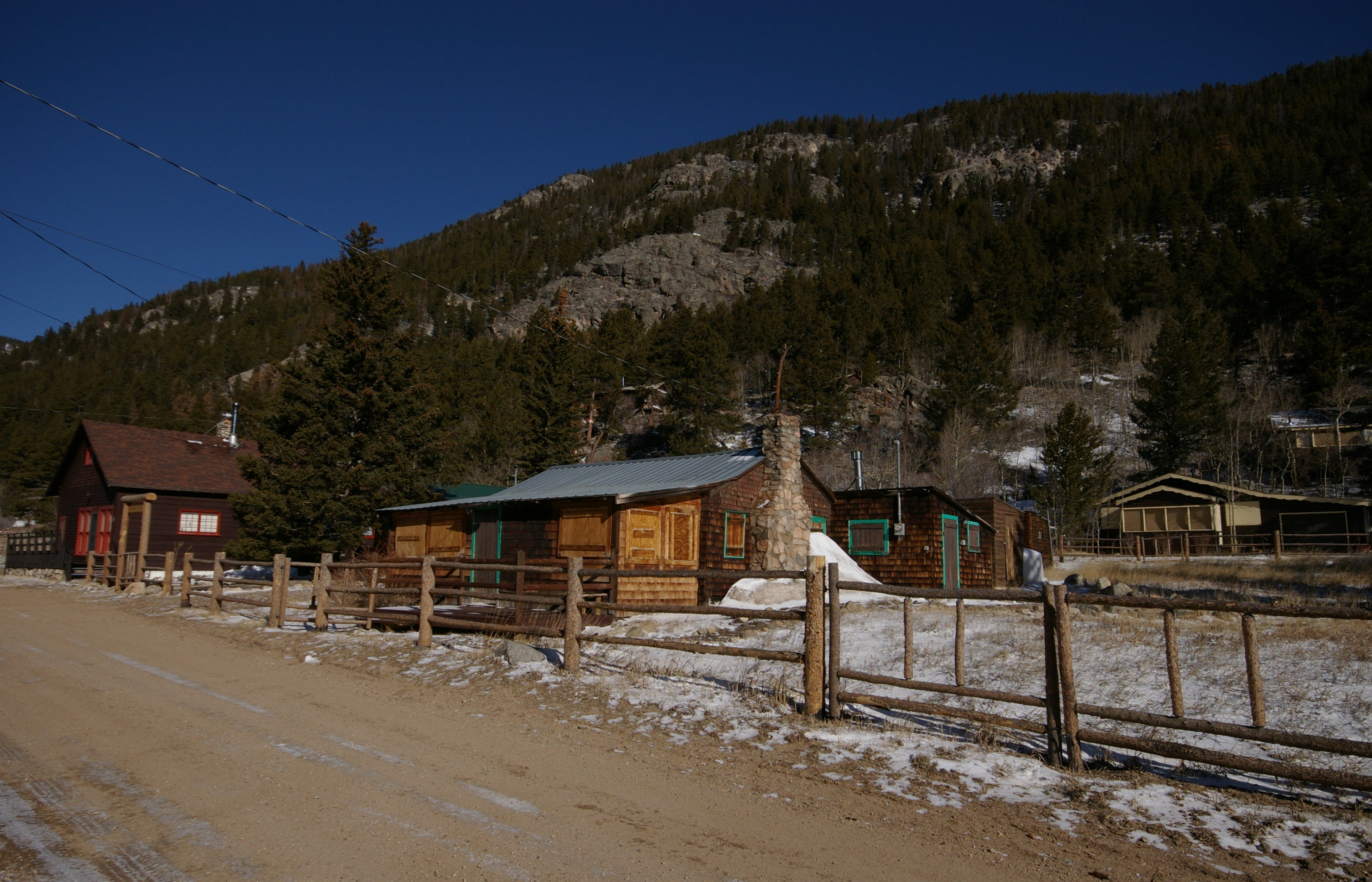
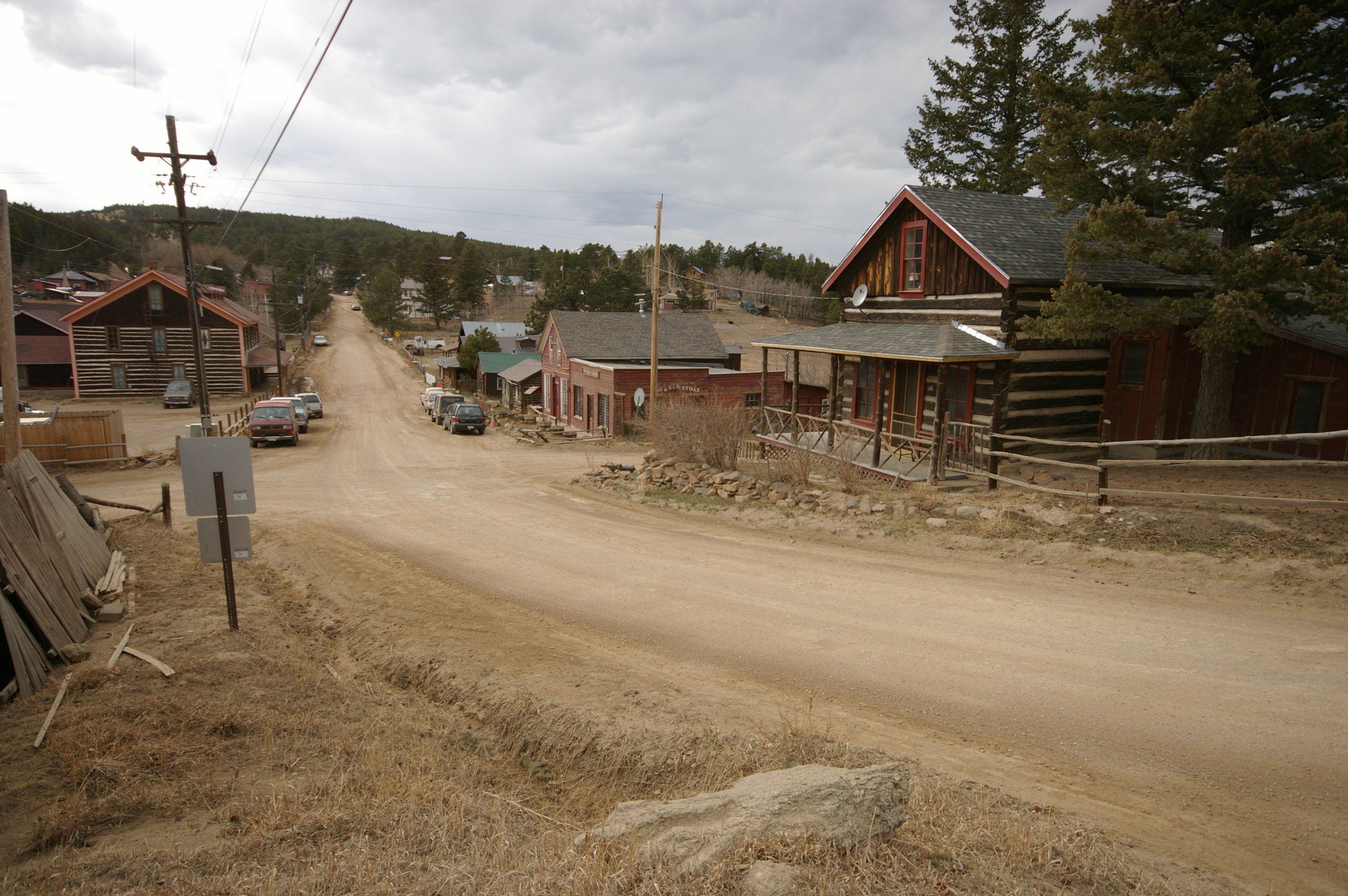
40°01′07″N 105°16′43″W / 40.018611°N 105.278611°WBoulder 18 Eldora Historic District 
October 4, 1989 Roughly Eaton Pl., 6th, Pearl, and 4th Sts., Huron Ave., 6th St., Eldorado Ave., and 7th St., Klondyke Ave., and 10th St.
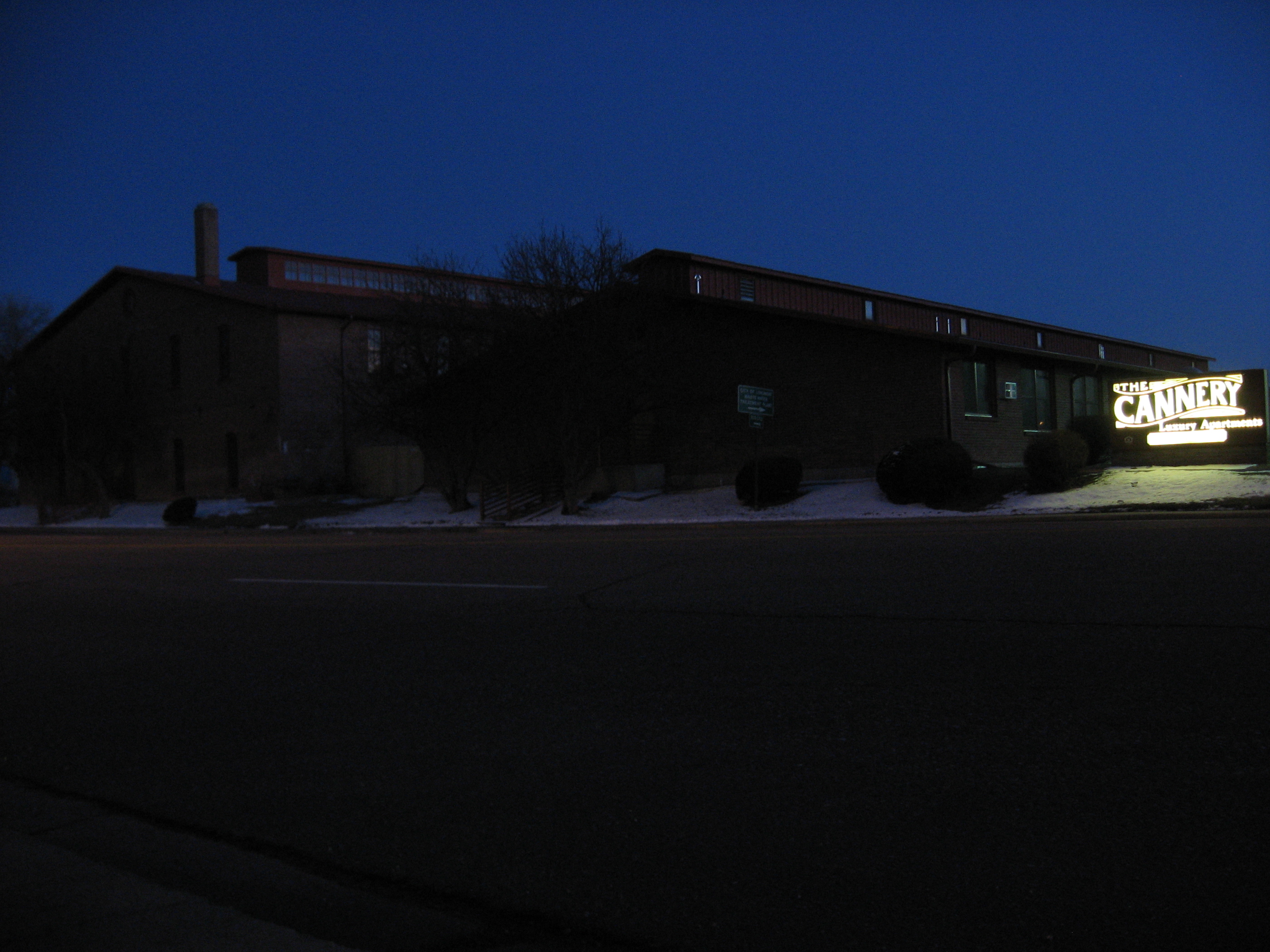
39°57′01″N 105°34′17″W / 39.950278°N 105.571389°WEldora 19 Empson Cannery 
January 5, 1984 15 3rd Ave.
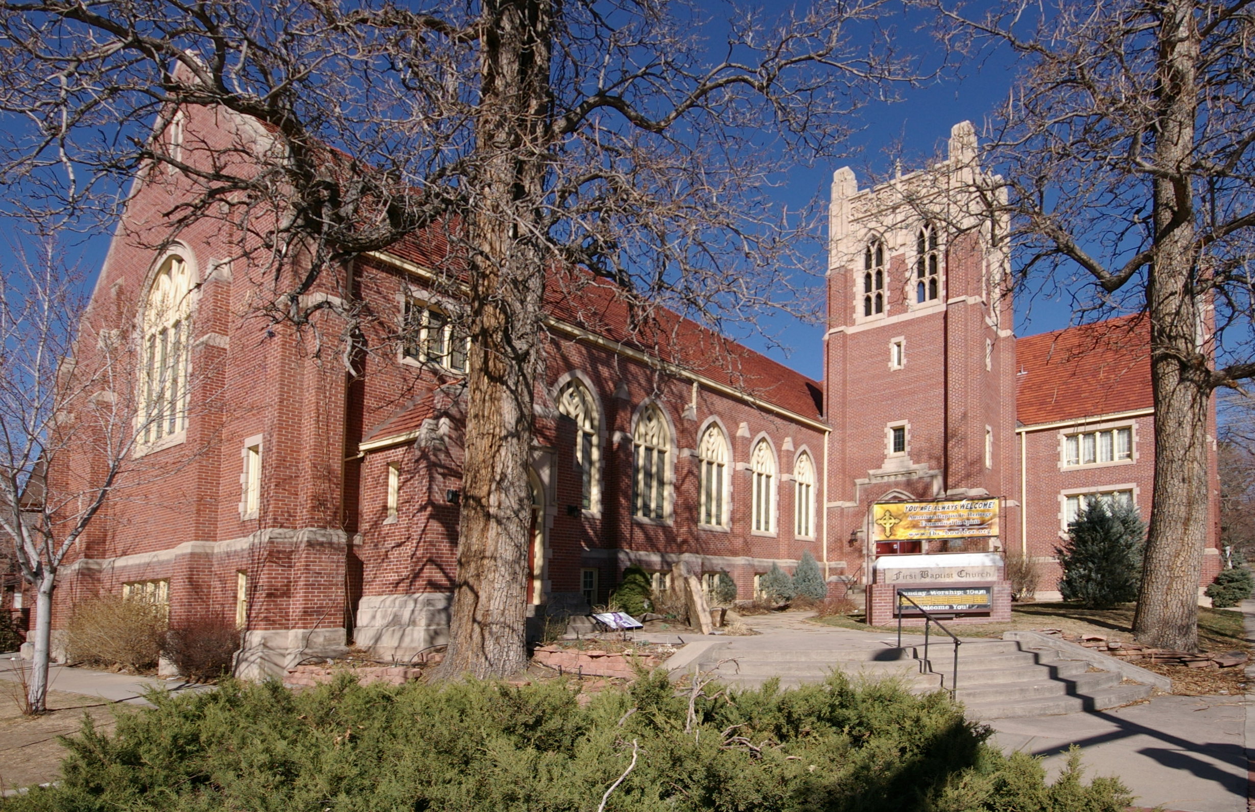
40°09′48″N 105°05′34″W / 40.163333°N 105.092778°WLongmont 20 First Baptist Church of Boulder 
April 14, 2004 1237 Pine St.
40°01′13″N 105°16′45″W / 40.020278°N 105.279167°WBoulder 21 First Congregational Church of Lyons 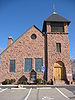
December 12, 1976 High and 4th Sts.
40°13′33″N 105°16′11″W / 40.225833°N 105.269722°WLyons 22 Fox Mine Office February 23, 1996 1226 S. Cherryvale Rd.
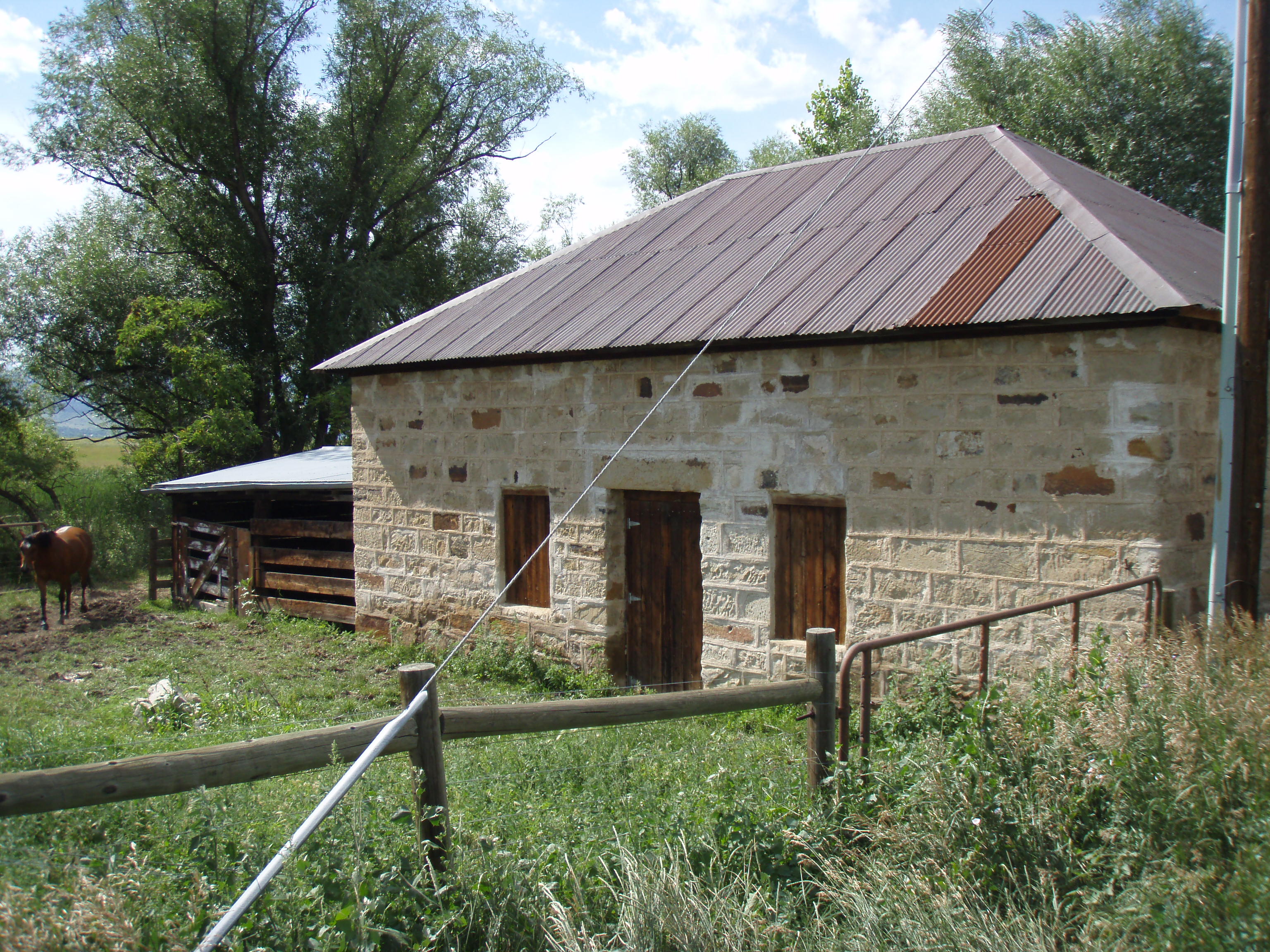
39°58′06″N 105°12′51″W / 39.968333°N 105.214167°WBoulder 23 Fox Stone Barn 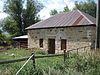
February 16, 1996 S. Cherryvale Rd., 0.5 miles south of U.S. Route 36
39°58′10″N 105°12′46″W / 39.969444°N 105.212778°WBoulder 24 Ginacci House 
February 14, 1986 1116 LaFarge St.
39°58′52″N 105°07′57″W / 39.981111°N 105.1325°WLouisville 25 Gold Hill Historic District 
August 3, 1989 Roughly bounded by North St., Pine St., Boulder St., Gold Run St., and College St.
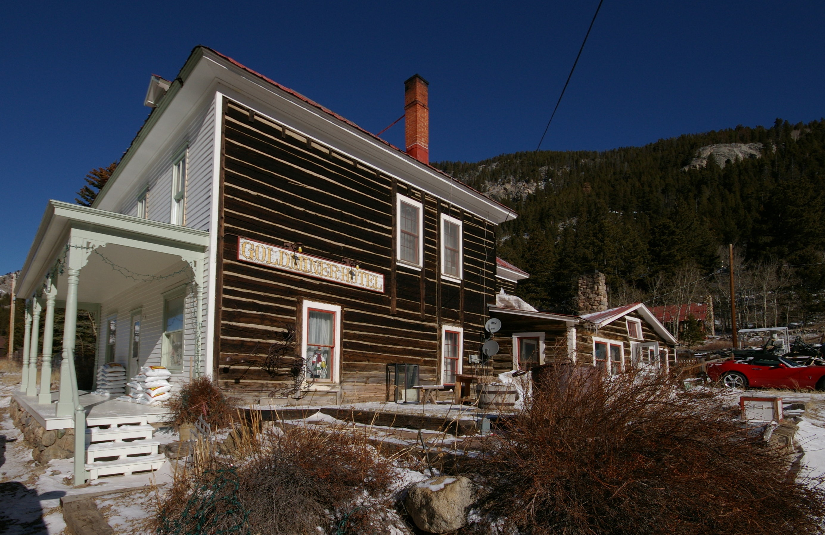
40°03′43″N 105°24′26″W / 40.061944°N 105.407222°WGold Hill 26 Gold Miner Hotel 
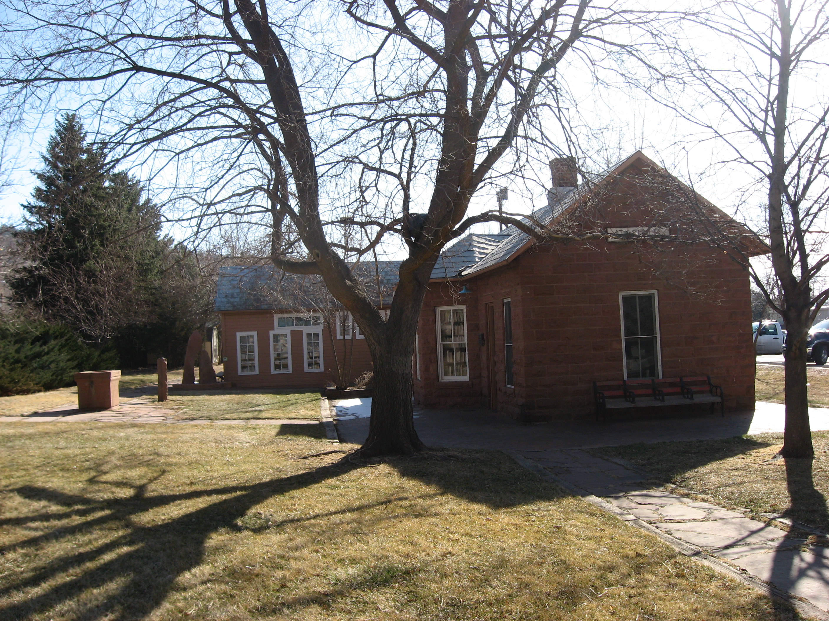
July 3, 1997 601 Klondyke Ave.
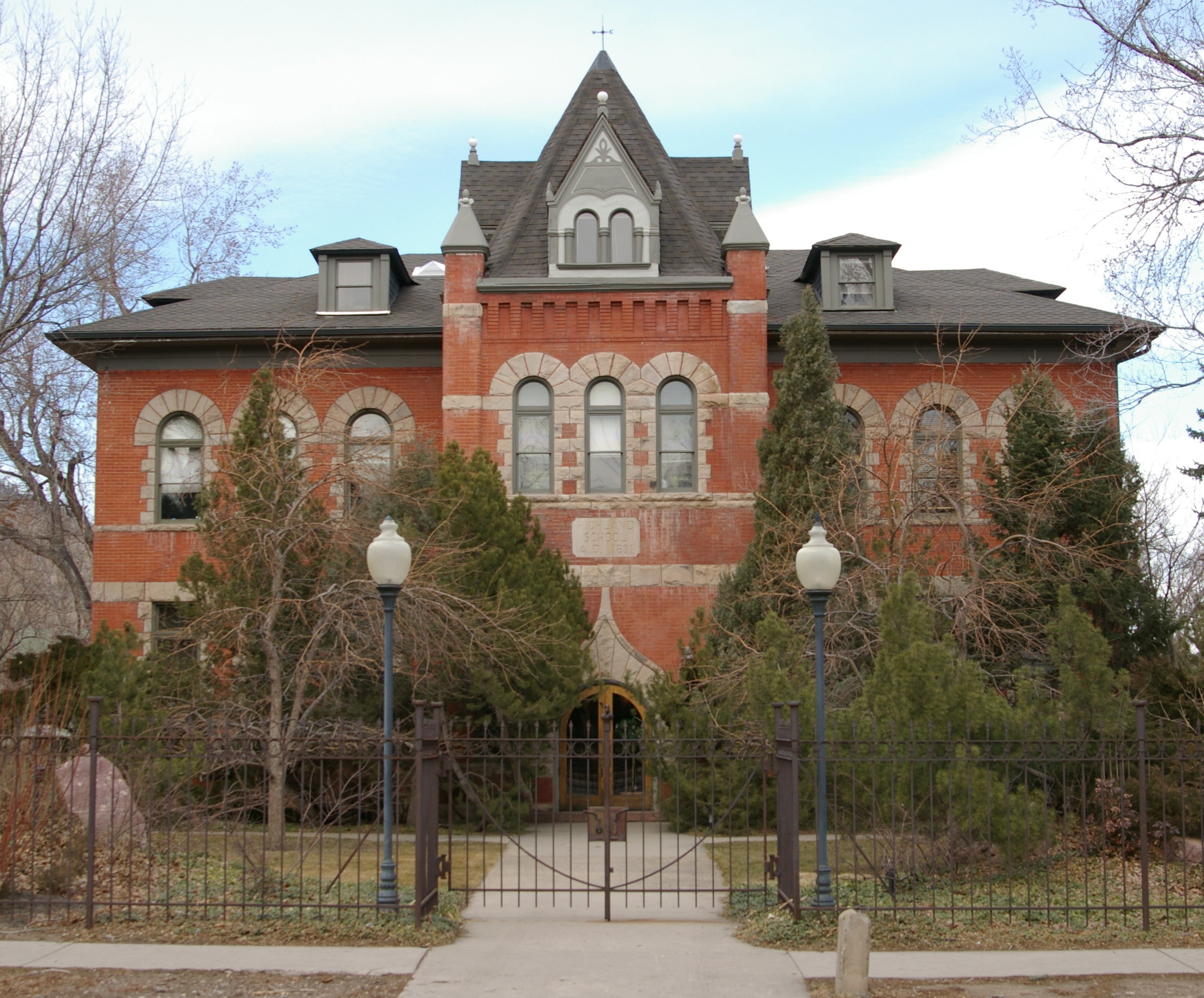
39°57′01″N 105°34′10″W / 39.950278°N 105.569444°WEldora 27 Highland School 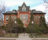
December 18, 1978 885 Arapahoe Ave.
40°00′48″N 105°17′01″W / 40.013333°N 105.283611°WBoulder 28 Hotel Boulderado 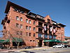
November 3, 1994 2115 13th St.
40°01′09″N 105°16′43″W / 40.019167°N 105.278611°WBoulder 29 Hoverhome and Hover Farmstead 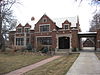
January 15, 1999 1303-1309 Hover Rd.
40°10′55″N 105°07′53″W / 40.181944°N 105.131389°WLongmont 30 Jacoe Store 
February 14, 1986 1001 Main St.
39°58′47″N 105°07′53″W / 39.979722°N 105.131389°WLouisville 31 Jamestown Mercantile Building August 3, 1989 Main St.
40°06′57″N 105°23′18″W / 40.115833°N 105.388333°WJamestown 32 Jamestown Town Hall July 10, 2003 118 Main St.
40°06′58″N 105°23′15″W / 40.116111°N 105.3875°WJamestown 33 Kullgren House 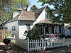
May 20, 1983 209 E. Cleveland St.
39°59′51″N 105°05′17″W / 39.9975°N 105.088056°WLafayette 34 Lackner's Tavern 
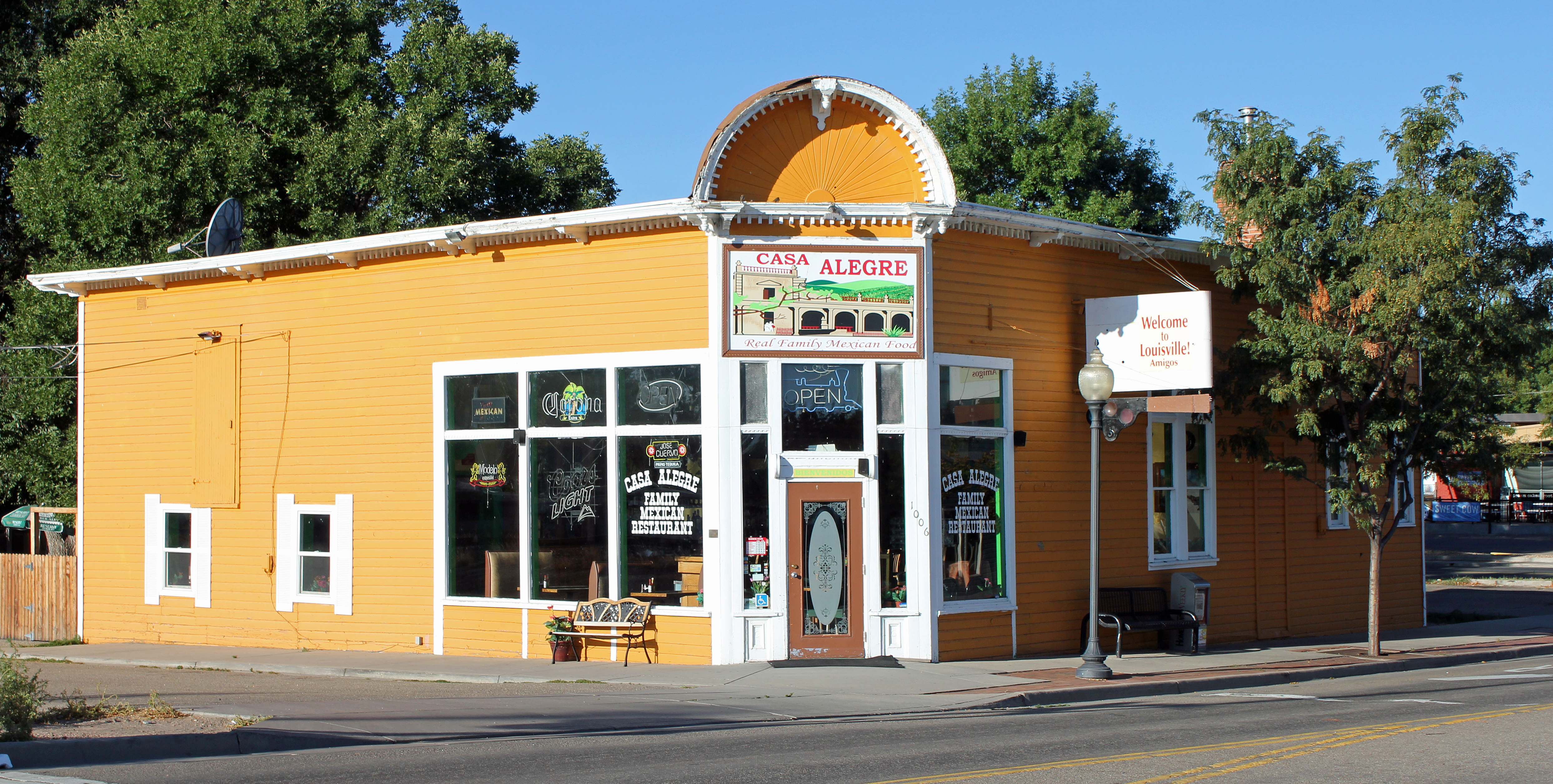
February 14, 1986 1006 Pine
39°58′31″N 105°07′45″W / 39.975278°N 105.129167°WLouisville 35 Lafayette House 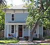
May 20, 1983 600 E. Simpson St.
39°59′53″N 105°05′01″W / 39.998056°N 105.083611°WLafayette 36 LaSalla House 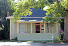
February 14, 1986 1124 Main St.
39°58′53″N 105°07′52″W / 39.981389°N 105.131111°WLouisville 37 Lewis House 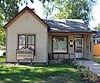
May 20, 1983 108 E. Simpson St.
39°59′53″N 105°05′21″W / 39.998056°N 105.089167°WLafayette 38 Little Church in the Pines 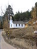
August 3, 1989 414 Gold Run Rd.
40°03′12″N 105°22′33″W / 40.053333°N 105.375833°WSalina 39 Longmont Carnegie Library 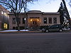
November 3, 1992 457 4th Ave.
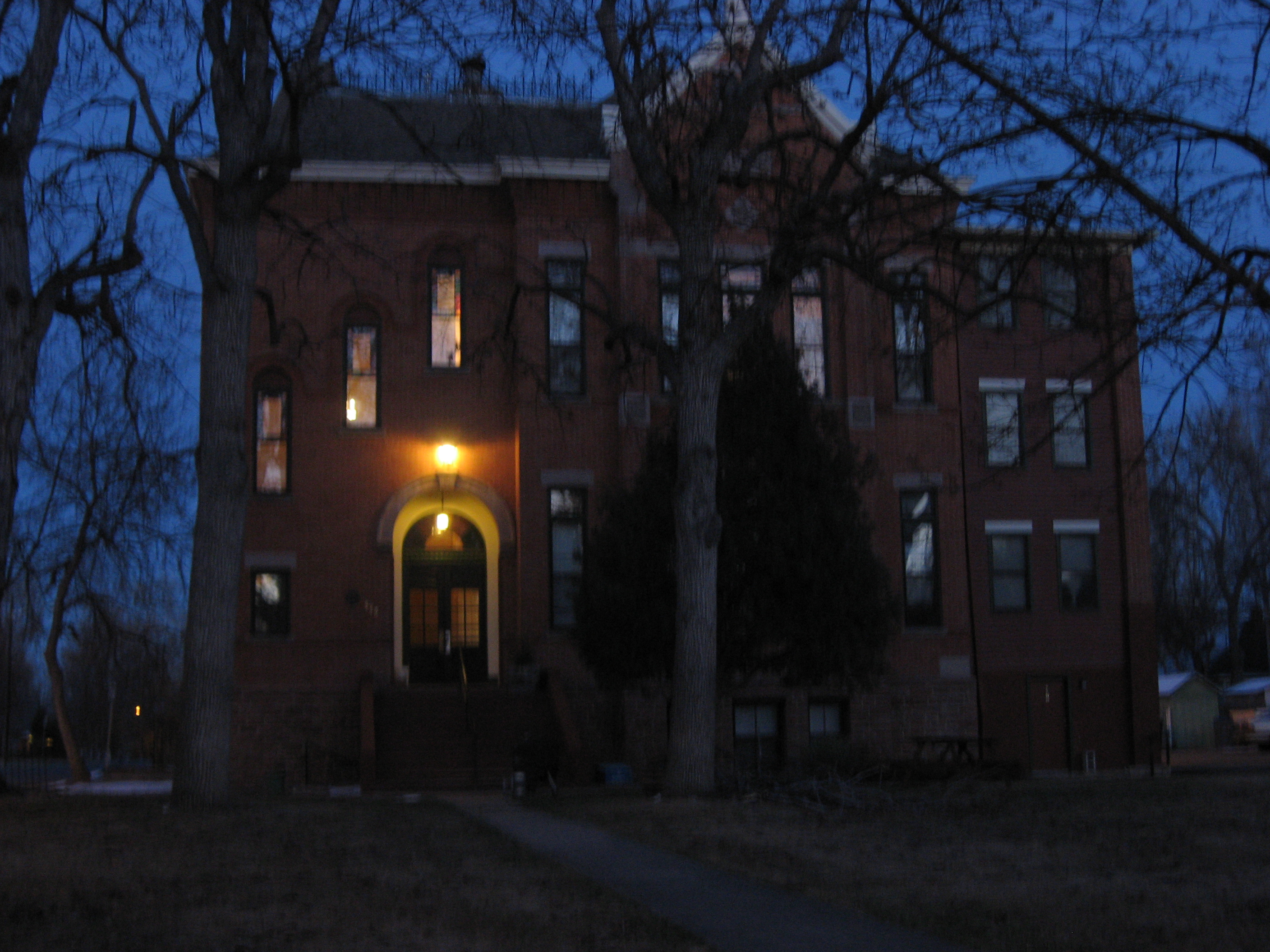
40°09′56″N 105°06′01″W / 40.165556°N 105.100278°WLongmont 40 Longmont College 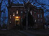
August 12, 1987 546 Atwood St.
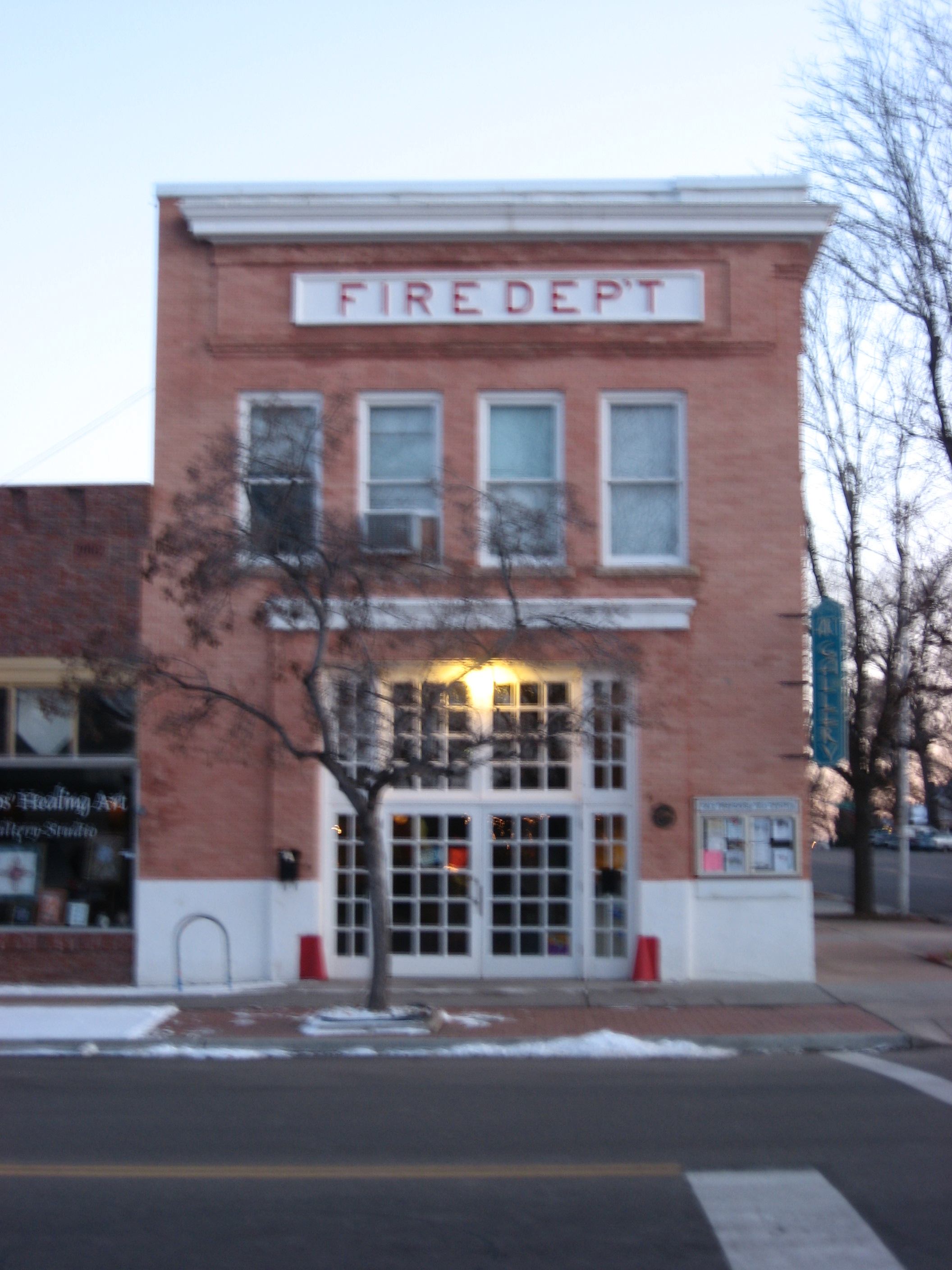
40°10′07″N 105°04′18″W / 40.168611°N 105.071667°WLongmont 41 Longmont Fire Department 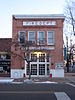
May 16, 1985 667 4th Ave.
40°09′56″N 105°06′10″W / 40.165556°N 105.102778°WLongmont 42 Longmont Power Plant September 10, 1987 Old Apple Valley Rd.
40°14′01″N 105°17′38″W / 40.233611°N 105.293889°WLyons 43 Lyons Railroad Depot 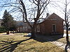
December 2, 1974 400 block of Broadway
40°13′27″N 105°16′14″W / 40.224167°N 105.270556°WLyons 44 Lyons Sandstone Buildings 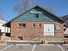
April 29, 1980 U.S. 36 and State Highway 7
40°13′05″N 105°15′16″W / 40.218056°N 105.254444°WLyons 45 McKenzie Well January 26, 2005 Near Independence Rd. and State Highway 119
40°02′36″N 105°14′27″W / 40.043333°N 105.240833°WBoulder 46 Miller House 
May 20, 1983 409 E. Cleveland St.
39°59′51″N 105°05′08″W / 39.9975°N 105.085556°WLafayette 47 Modoc Mill December 27, 1978 North of Ward
40°04′50″N 105°30′39″W / 40.080556°N 105.510833°WWard 48 Mount St. Gertrude Academy 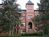
November 3, 1994 970 Aurora St.
40°00′13″N 105°16′51″W / 40.003611°N 105.280833°WBoulder 49 National Fuel Company Store 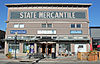
February 14, 1986 801 Main St.
39°58′09″N 105°07′53″W / 39.969167°N 105.131389°WLouisville 50 Norlin Quadrangle Historic District 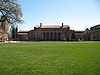
March 27, 1980 University of Colorado campus
40°00′32″N 105°16′20″W / 40.008889°N 105.272222°WBoulder 51 North St. Vrain Creek Bridge 
October 15, 2002 State Highway 7 at milepost 32.98, over the North St. Vrain Creek
40°13′22″N 105°16′17″W / 40.222778°N 105.271389°WLyons 52 Northern Colorado Power Company Substation 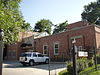
May 22, 1986 1590 Broadway
40°00′40″N 105°16′36″W / 40.011111°N 105.276667°WBoulder 53 Petrelli-DelPizzo House 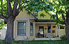
February 14, 1986 1016 Main St.
39°58′48″N 105°07′52″W / 39.98°N 105.131111°WLouisville 54 Rhoades House 
February 14, 1986 1024 Grant
39°58′49″N 105°08′06″W / 39.980278°N 105.135°WLouisville 55 Robinson House 
February 14, 1986 301 Spruce
39°58′41″N 105°07′51″W / 39.978056°N 105.130833°WLouisville 56 Rocky Mountain Mammoth Mine July 6, 2010 4879 Magnolia Dr.
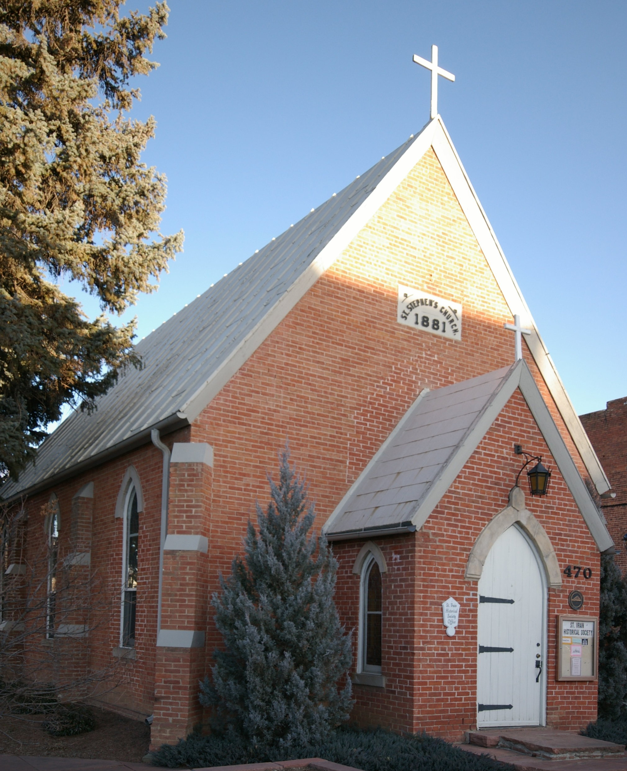
39°59′08″N 105°24′01″W / 39.985556°N 105.400278°WNederland 57 St. Stephen's Episcopal Church, 1881 
February 24, 1975 470 Main St.
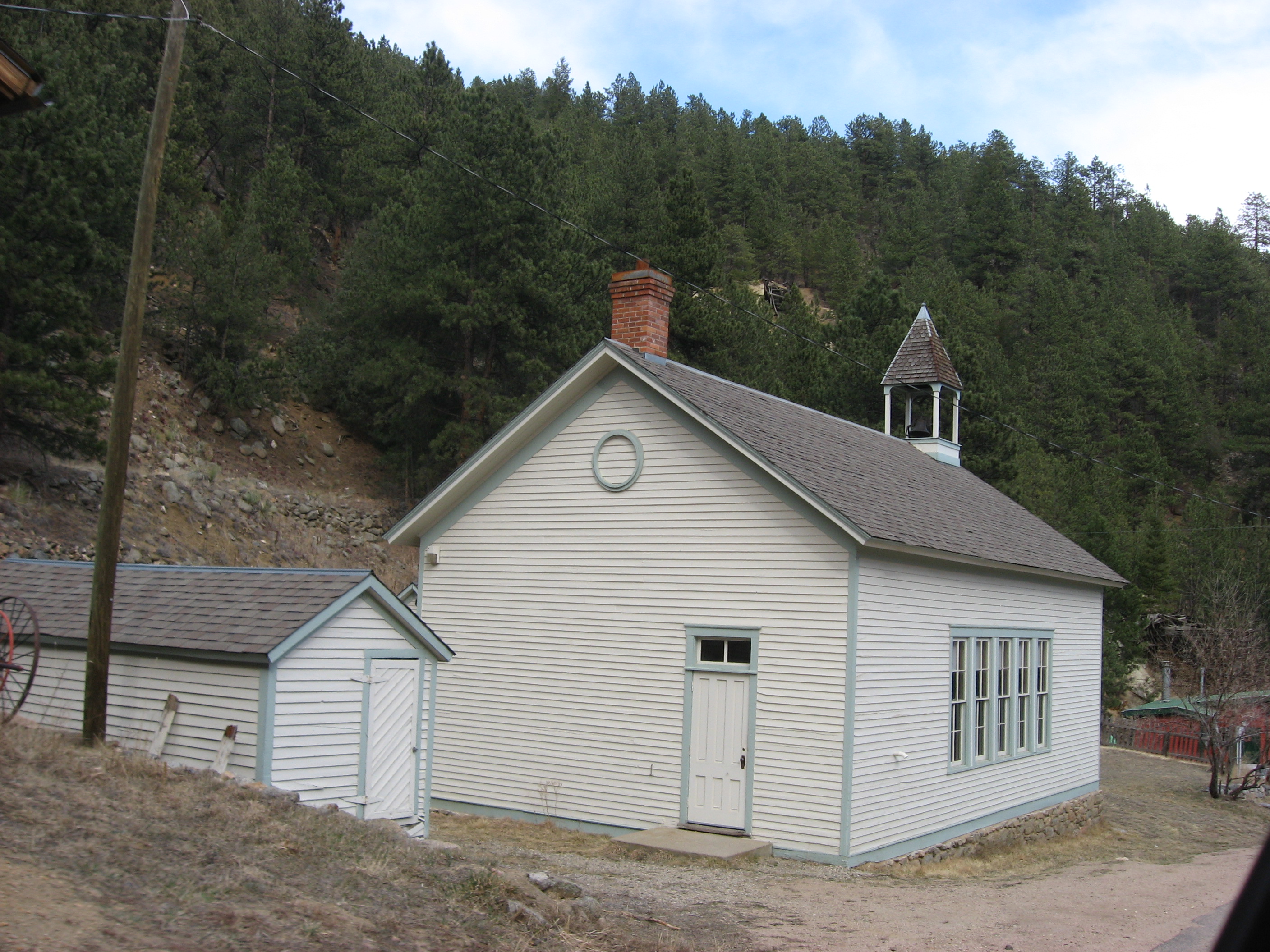
40°10′03″N 105°06′06″W / 40.1675°N 105.101667°WLongmont 58 Salina School 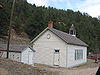
August 3, 1989 536 Gold Run Rd.
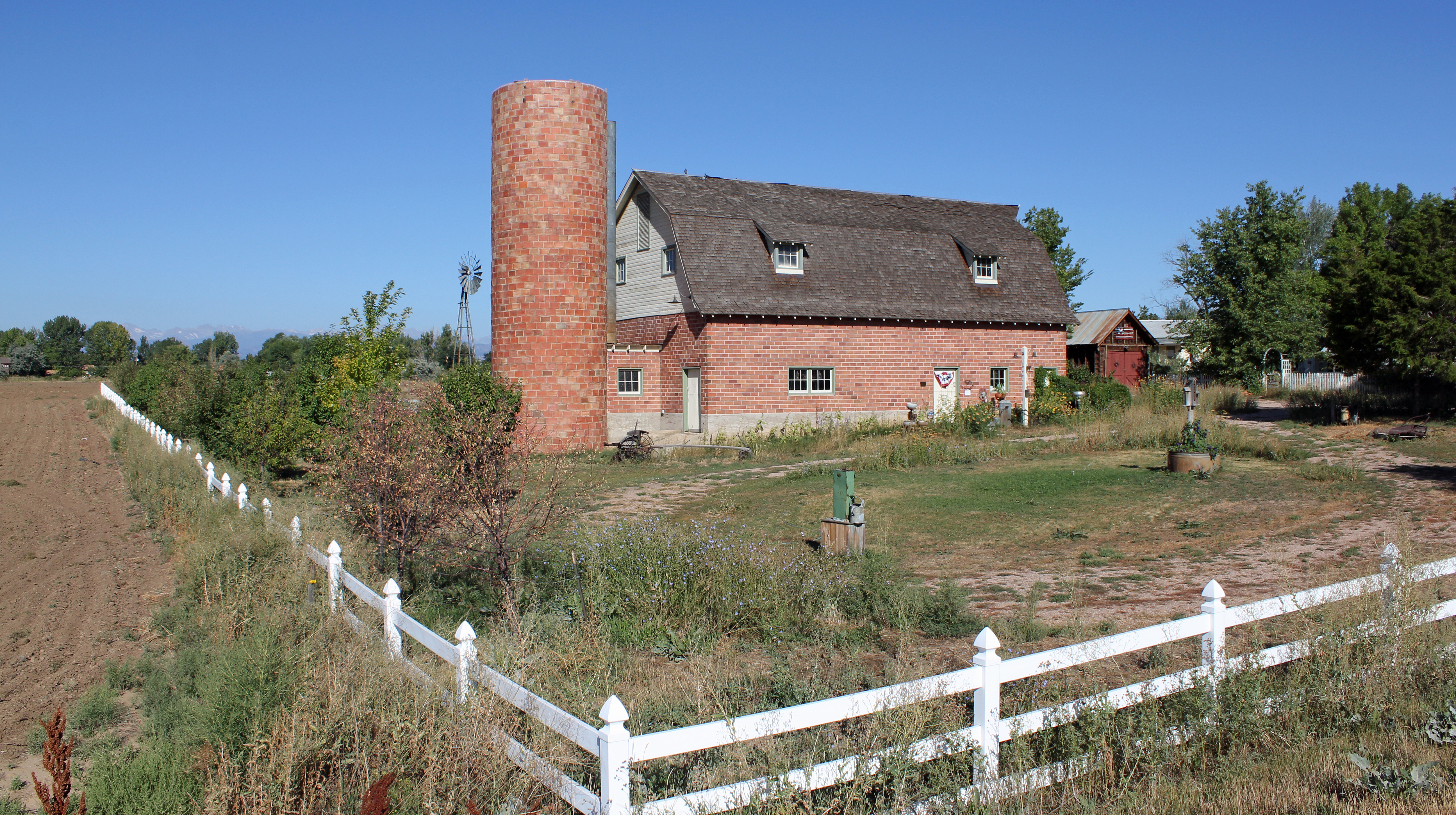
40°03′15″N 105°22′37″W / 40.054167°N 105.376944°WSalina 59 Shannon Farm 
October 17, 2003 1341 N. 95th St.
40°00′39″N 105°07′51″W / 40.010833°N 105.130833°WLafayette 60 Snowbound Mine August 3, 1989 County Road 52
40°04′19″N 105°23′01″W / 40.071944°N 105.383611°WGold Hill 61 Squires-Tourtellot House 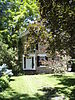
August 10, 1978 1019 Spruce St.
40°01′07″N 105°16′55″W / 40.018611°N 105.281944°WBoulder 62 Stolmes House 
February 14, 1986 616 Front St.
39°58′35″N 105°07′47″W / 39.976389°N 105.129722°WLouisville 63 Sunshine School July 27, 1989 355 County Road 83
39°58′17″N 105°21′50″W / 39.971389°N 105.363889°WSunshine 64 Swedish Evangelical Lutheran Church of Ryssby February 16, 1984 N. 63rd St.
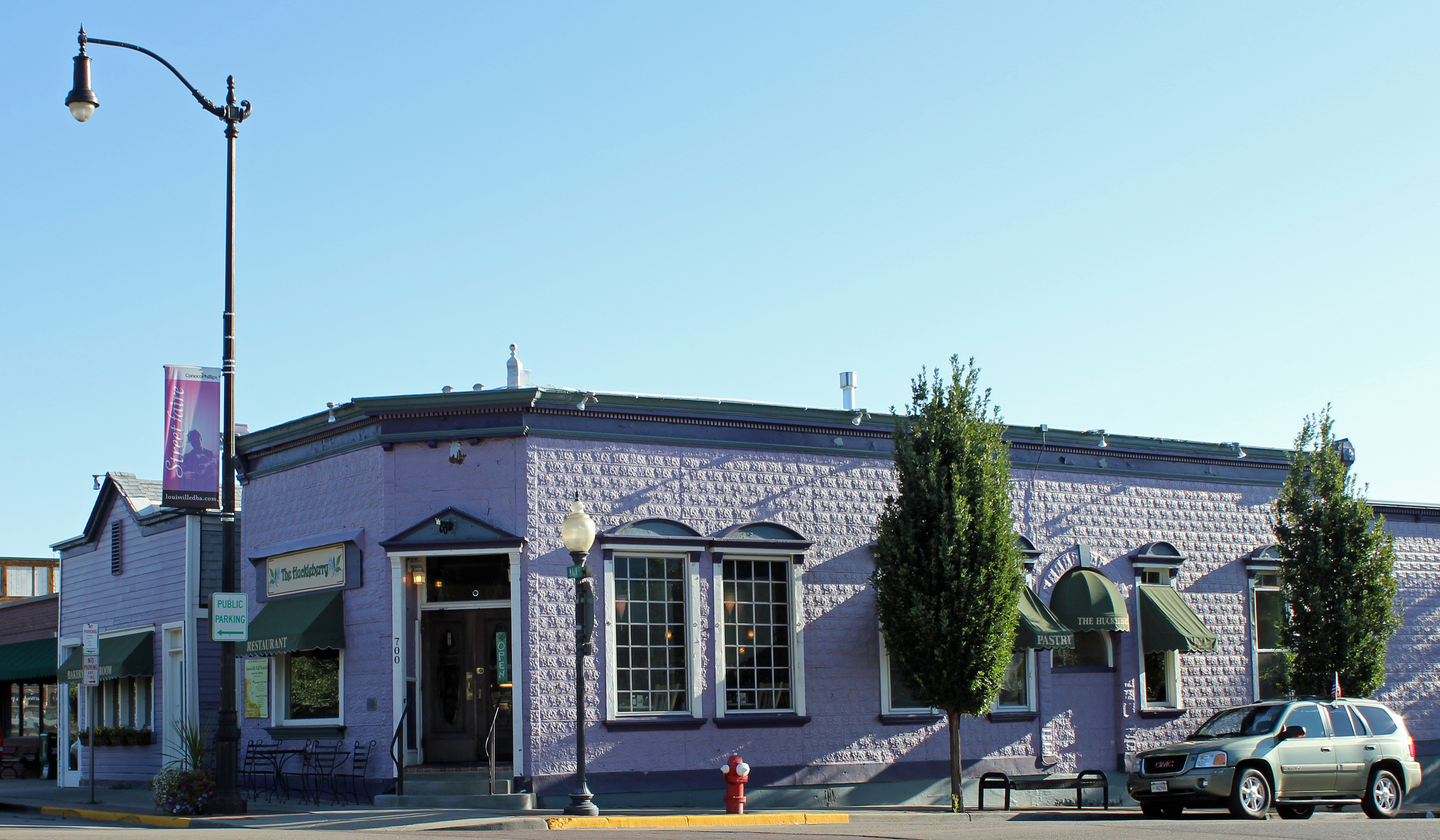
40°08′23″N 105°12′20″W / 40.139722°N 105.205556°WBoulder 65 Tego Brothers Drugstore-State National Bank of Louisville 
February 14, 1986 700 Main St.
39°58′37″N 105°07′51″W / 39.976944°N 105.130833°WLouisville 66 The Terrace 
November 3, 1987 207 E. Cleveland St.
39°59′54″N 105°05′17″W / 39.998333°N 105.088056°WLafayette 67 Thomas House 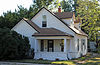
February 14, 1986 700 Lincoln
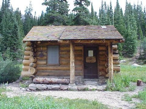
39°58′40″N 105°08′09″W / 39.977778°N 105.135833°WLouisville 68 Thunder Lake Patrol Cabin 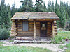
January 29, 1988 Thunder Lake
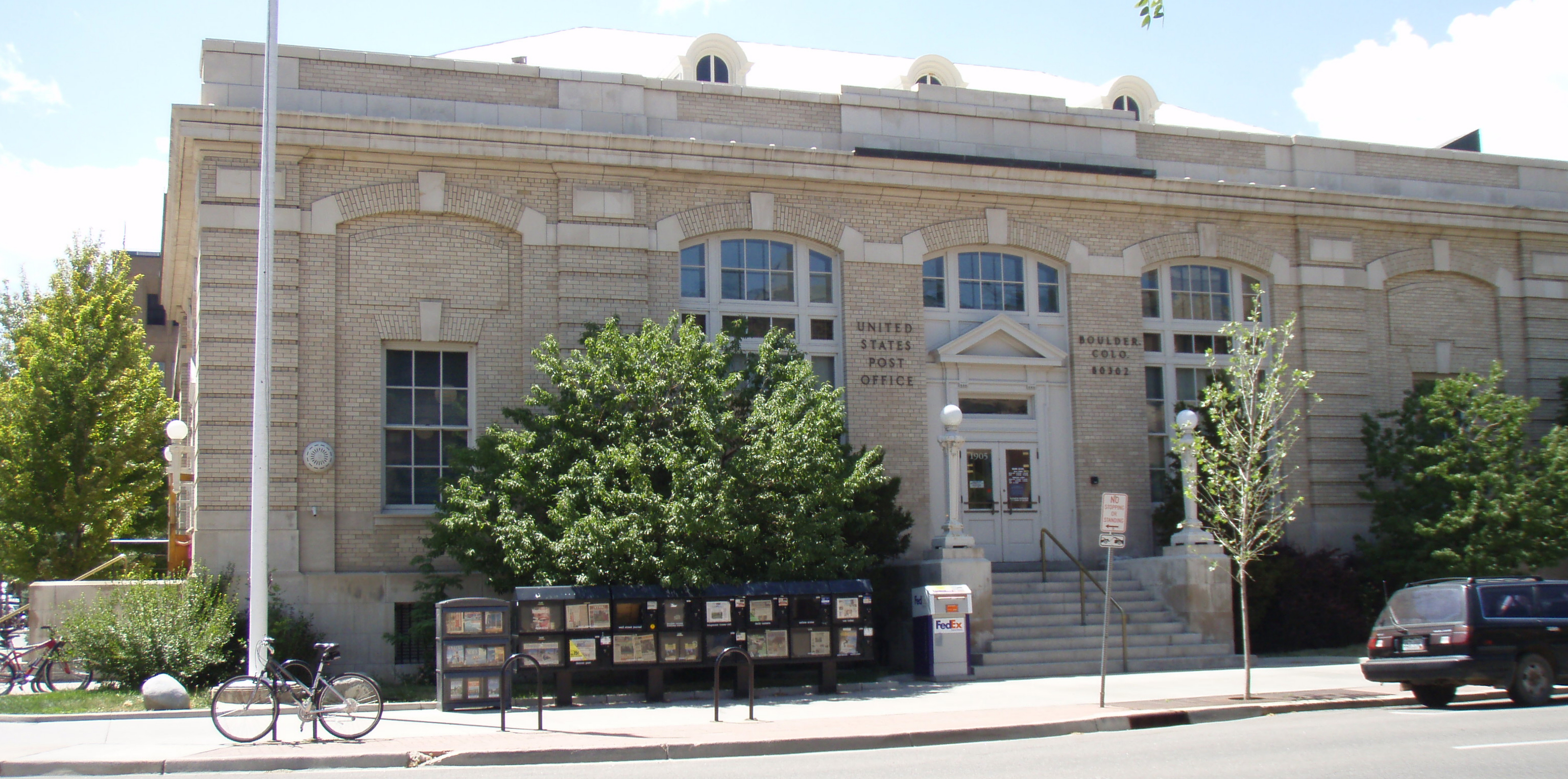
40°13′20″N 105°38′39″W / 40.222222°N 105.644167°WEstes Park In Rocky Mountain National Park 69 Thunder Lake Trail-Bluebird Lake Trail January 29, 2008 Roughly along the North St. Vrain Creek, west of Wild Basin Ranger Station Allenspark 70 US Post Office-Boulder Main 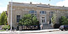
January 22, 1986 1905 15th St.
40°01′42″N 105°16′31″W / 40.028333°N 105.275278°WBoulder 71 Walker Ranch Historic District June 14, 1984 West of Boulder; also 7.5 miles west of Boulder off Flagstaff Rd.
39°57′14″N 105°20′03″W / 39.953889°N 105.334167°WBoulder Second location represents a boundary increase 72 Wall Street Assay Office August 3, 1989 6352 Four Mile Canyon Dr.; also the area west and across Wall St. from Assay Office
40°02′19″N 105°37′34″W / 40.038611°N 105.626111°WWallstreet Second location represents a boundary increase 73 Ward Congregational Church 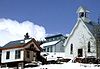
August 3, 1989 41 Modoc
40°04′22″N 105°30′29″W / 40.072778°N 105.508056°WWard 74 Ward School August 3, 1989 66 Columbia
40°04′18″N 105°30′28″W / 40.071667°N 105.507778°WWard 75 West Side Historic District 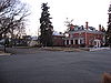
January 7, 1987 Roughly bounded by 5th, Terry, 3rd, and Grant
40°09′57″N 105°06′32″W / 40.165833°N 105.108889°WLongmont 76 Wild Basin House 
January 29, 1988 Wild Basin
40°12′29″N 105°33′56″W / 40.208056°N 105.565556°WEstes Park 77 Wild Basin Ranger Station and House 
January 29, 1988 Wild Basin
40°12′32″N 105°33′55″W / 40.208889°N 105.565278°WEstes Park 78 Woodward-Baird House 
February 15, 1979 1733 Canyon Boulevard
40°01′03″N 105°16′16″W / 40.0175°N 105.271111°WBoulder See also
- List of National Historic Landmarks in Colorado
- National Register of Historic Places listings in Colorado
References
- ^ The latitude and longitude information provided in this table was derived originally from the National Register Information System, which has been found to be fairly accurate for about 99% of listings. For about 1% of NRIS original coordinates, experience has shown that one or both coordinates are typos or otherwise extremely far off; some corrections may have been made. A more subtle problem causes many locations to be off by up to 150 yards, depending on location in the country: most NRIS coordinates were derived from tracing out latitude and longitudes off of USGS topographical quadrant maps created under North American Datum of 1927, which differs from the current, highly accurate GPS system used by Google maps. Chicago is about right, but NRIS longitudes in Washington are higher by about 4.5 seconds, and are lower by about 2.0 seconds in Maine. Latitudes differ by about 1.0 second in Florida. Some locations in this table may have been corrected to current GPS standards.
- ^ "National Register of Historic Places: Weekly List Actions". National Park Service, United States Department of the Interior. Retrieved on November 10, 2011.
- ^ Numbers represent an ordering by significant words. Various colorings, defined here, differentiate National Historic Landmark sites and National Register of Historic Places Districts from other NRHP buildings, structures, sites or objects.
- ^ Location derived from Danaher, Charlie. Danaher: Neighbors and Inspiration, Daily Camera, 2010-09-26. Accessed 2010-12-26.
External links
U.S. National Register of Historic Places Topics Lists by states Alabama • Alaska • Arizona • Arkansas • California • Colorado • Connecticut • Delaware • Florida • Georgia • Hawaii • Idaho • Illinois • Indiana • Iowa • Kansas • Kentucky • Louisiana • Maine • Maryland • Massachusetts • Michigan • Minnesota • Mississippi • Missouri • Montana • Nebraska • Nevada • New Hampshire • New Jersey • New Mexico • New York • North Carolina • North Dakota • Ohio • Oklahoma • Oregon • Pennsylvania • Rhode Island • South Carolina • South Dakota • Tennessee • Texas • Utah • Vermont • Virginia • Washington • West Virginia • Wisconsin • WyomingLists by territories Lists by associated states Other  Category:National Register of Historic Places •
  Portal:National Register of Historic Places
Municipalities and communities of Boulder County, Colorado County seat: Boulder Cities Boulder | Lafayette | Longmont‡ | Louisville
Towns CDPs Allenspark | Altona | Bark Ranch | Bonanza Mountain Estates | Coal Creek‡ | Crisman | Eldora | Eldorado Springs | Glendale | Gold Hill | Gunbarrel | Hidden Lake | Lazy Acres | Leyner | Mountain Meadows | Niwot | Paragon Estates | Pine Brook Hill | Sugarloaf | St. Ann Highlands | Seven Hills | Sunshine | Tall Timber | Valmont
Unincorporated
communitiesCaribou | Hygiene | Pinecliffe
Footnotes ‡This populated place also has portions in an adjacent county or counties
Categories:- National Register of Historic Places in Colorado by county
- Boulder County, Colorado
-


Wikimedia Foundation. 2010.