- National Register of Historic Places listings in Blue Earth County, Minnesota
-
This is a list of entries on the National Register of Historic Places in Blue Earth County, Minnesota.
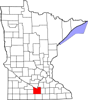
Blue Earth County is a county located in the south-central part of the U.S. state of Minnesota, bounded on the north by the Minnesota River and Le Sueur County, the west by Martin, Watonwan, and Brown Counties, the south by Faribault County, and the east by Waseca County.
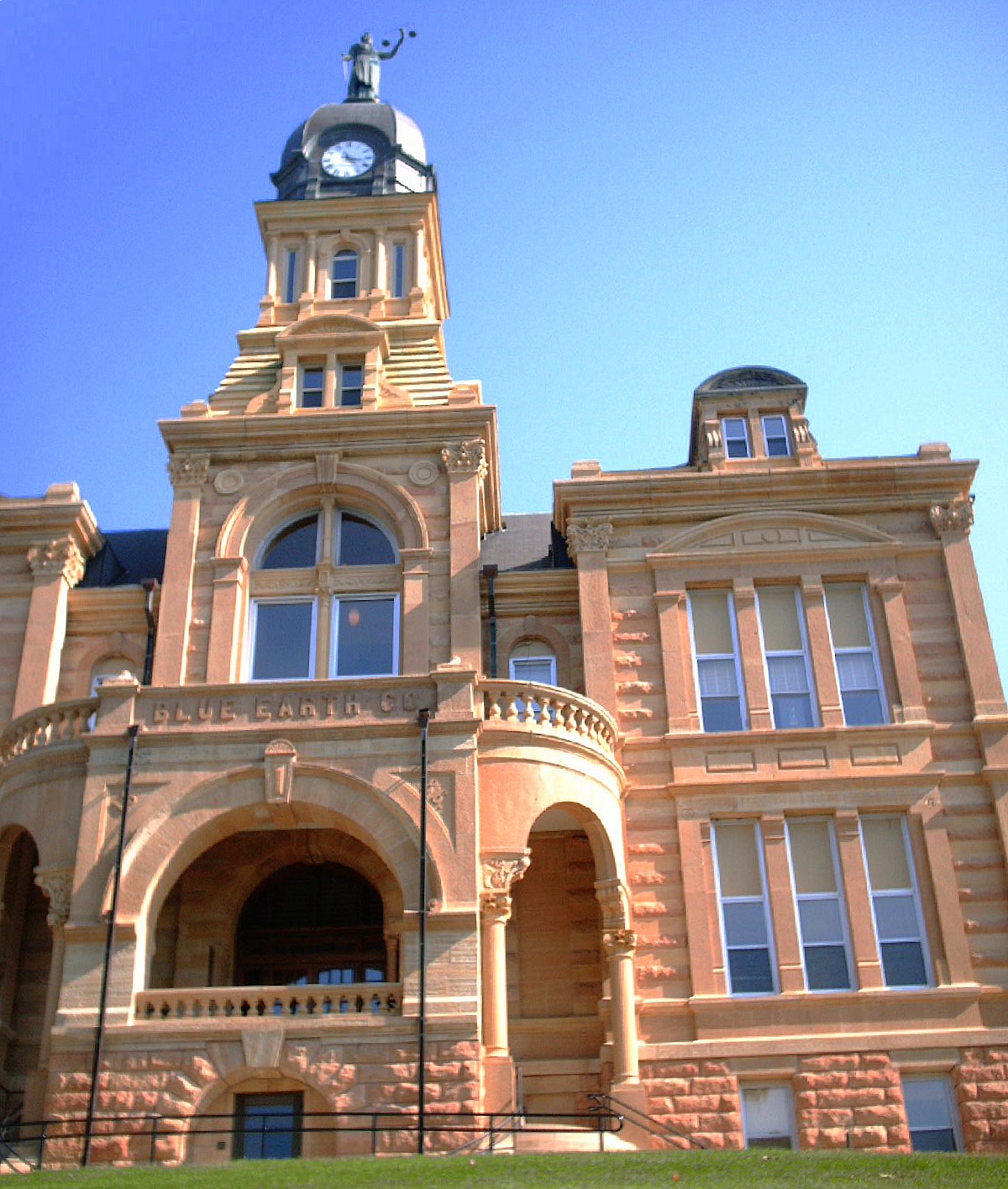
[1] Landmark name Image Date listed Location City or town Summary 1 Blue Earth County Courthouse 
July 28, 1980 Courthouse Sq.
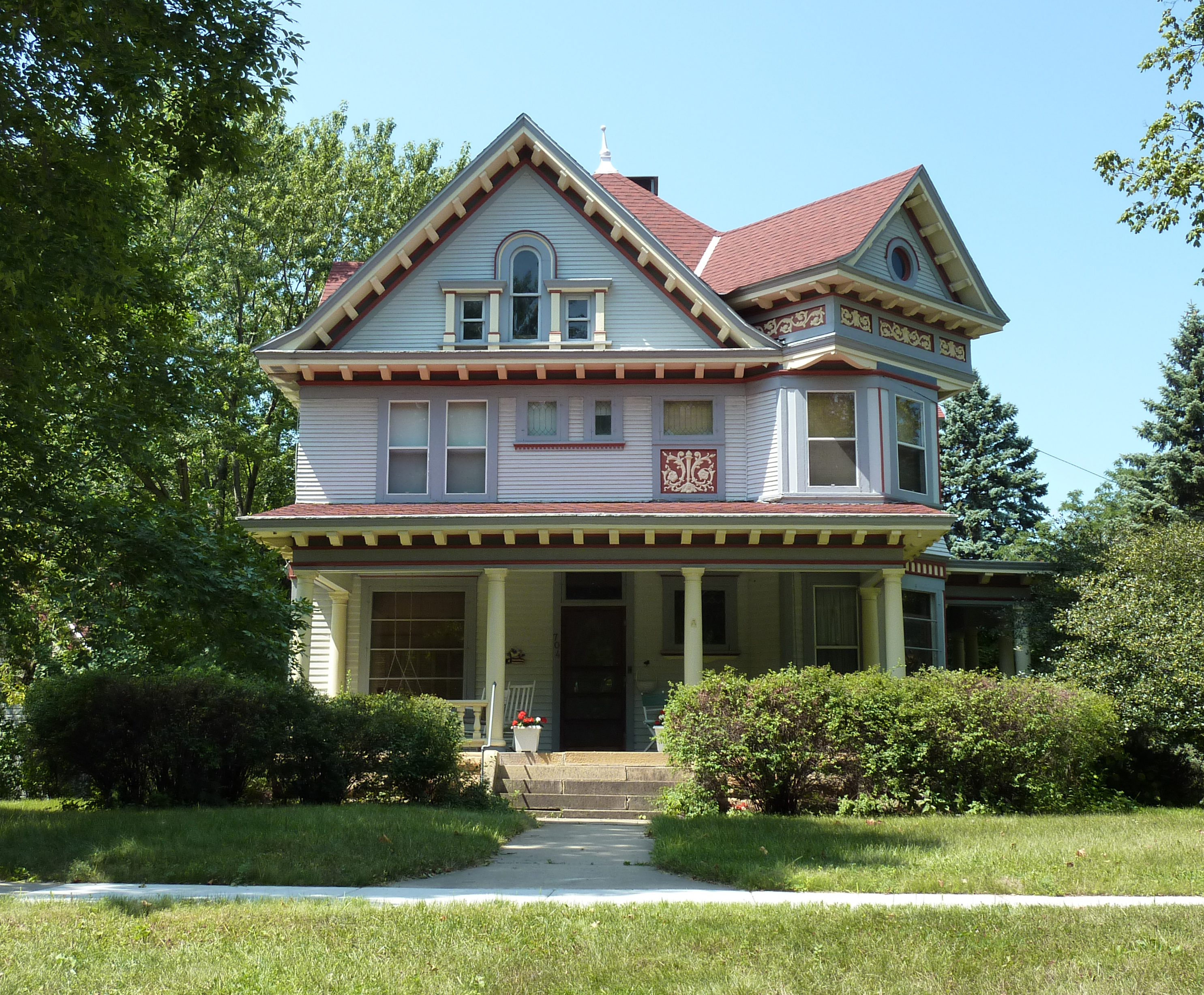
44°09′50″N 93°59′57″W / 44.163889°N 93.999167°WMankato County courthouse with Second Empire and Italianate influences 2 J.R. Brandrup House 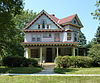
July 28, 1980 704 Byron
44°09′18″N 94°00′32″W / 44.155°N 94.008889°WMankato Queen Anne style home of the central figure of Mankato Commercial College[2] 3 Charles Chapman House 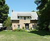
July 28, 1980 418 McCauley
44°09′19″N 94°02′14″W / 44.155278°N 94.037222°WMankato 1858 house built by an early settler of Mankato[2] 4 Lorin Cray House 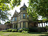
July 28, 1980 603 S. 2nd St.
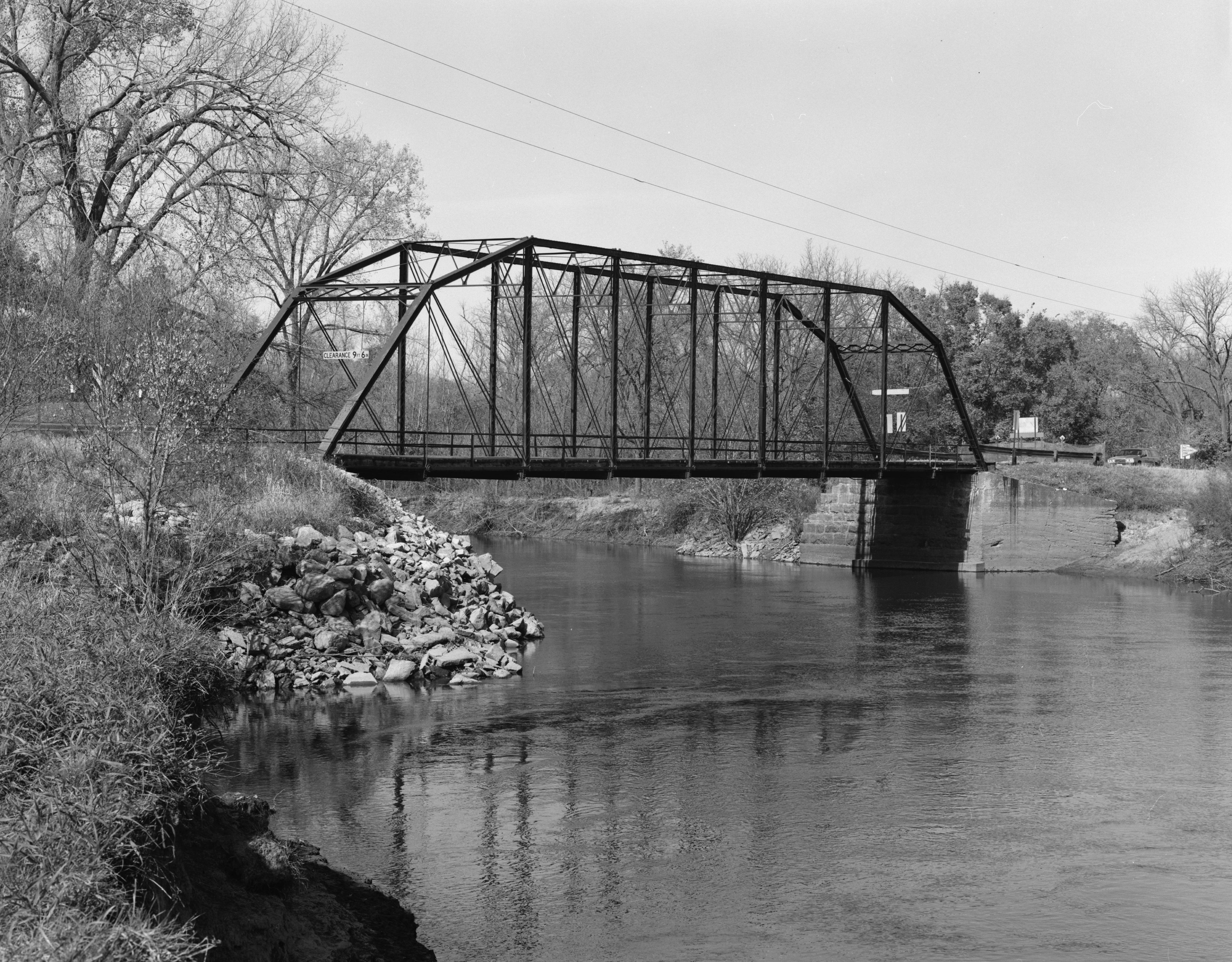
44°09′43″N 94°00′19″W / 44.161944°N 94.005278°WMankato Queen Anne style house built for a civic leader, judge, and philanthropist; later a YWCA building 5 Dodd Ford Bridge 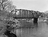
December 9, 2009 County Road 147 over the Blue Earth River
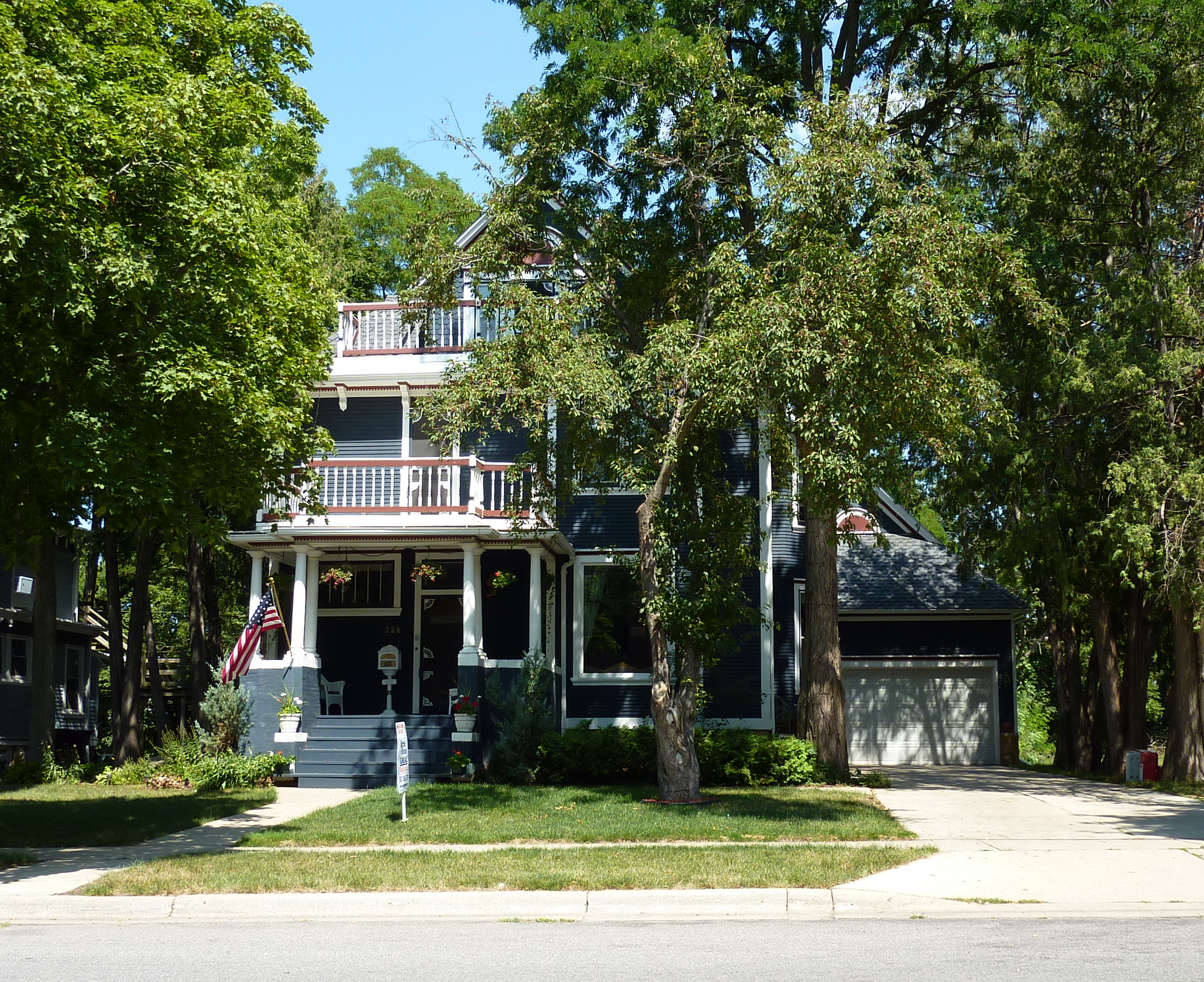
43°52′35″N 94°11′16″W / 43.876336°N 94.187872°WShelby Early Pratt truss bridge by Lawrence Henry Johnson 6 Adolph O. Eberhart House 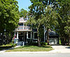
July 28, 1980 228 Clark St.
44°09′30″N 94°00′19″W / 44.158333°N 94.005278°WMankato Home of Adolph Olson Eberhart, 17th governor of Minnesota 7 Federal Courthouse and Post Office 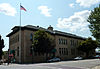
June 17, 1980 401 S. 2nd St.
44°09′49″N 94°00′14″W / 44.163611°N 94.003889°WMankato William Martin Aiken-designed courthouse and post office[2] 8 First Baptist Church 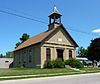
July 28, 1980 U.S. Route 169
44°02′51″N 94°10′00″W / 44.0475°N 94.166667°WGarden City Township 9 First National Bank of Mankato 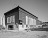
July 30, 1974 229 S. Front St.
44°09′58″N 94°00′13″W / 44.166111°N 94.003611°WMankato Prairie School bank by Minneapolis architects Ellerbe and Round[2] 10 First Presbyterian Church 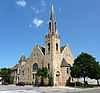
July 28, 1980 Hickory and S. Broad Sts.
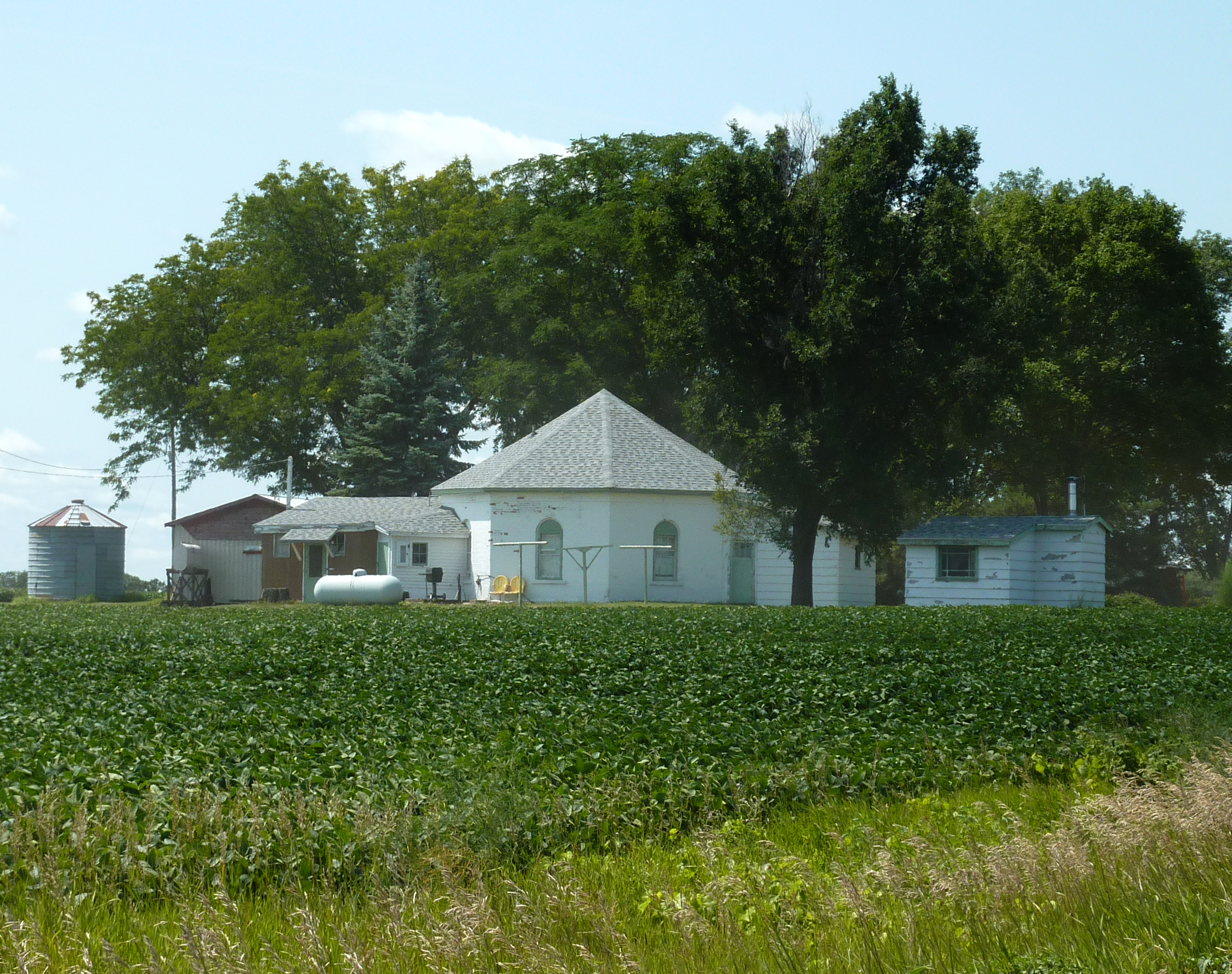
44°09′53″N 94°00′07″W / 44.164722°N 94.001944°WMankato 11 James P. Gail Farmhouse 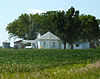
July 28, 1980 Off U.S. Route 169
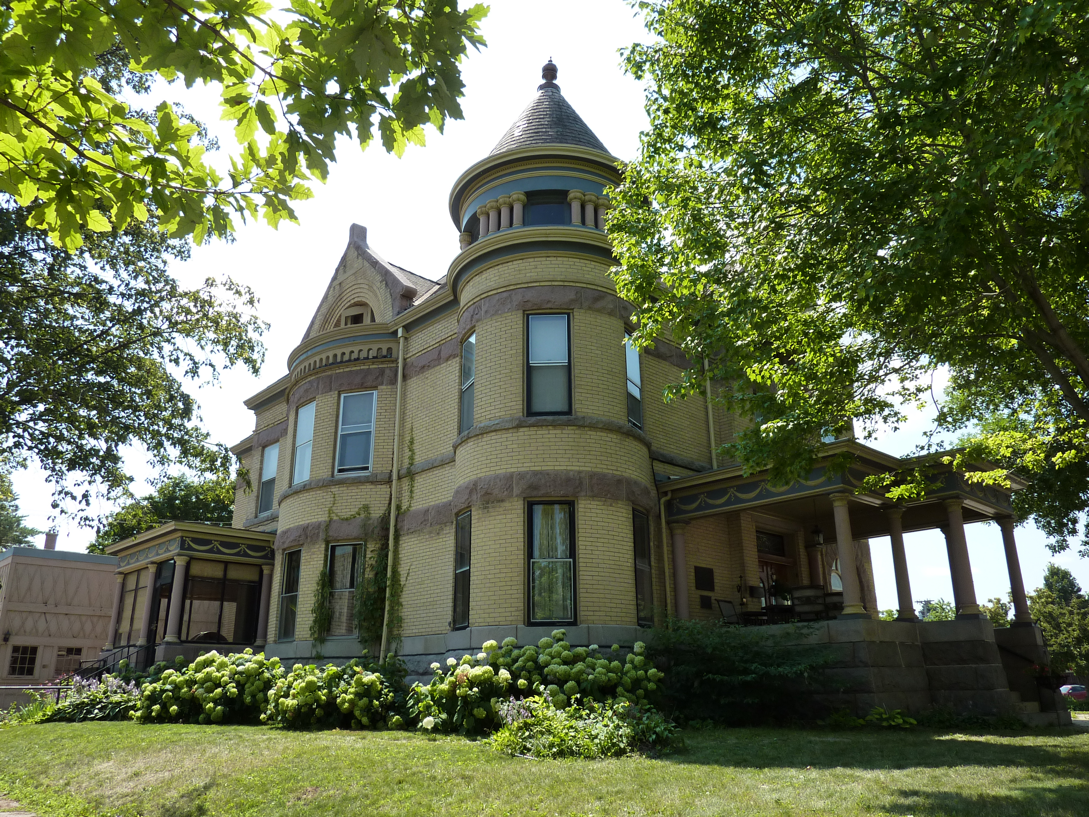
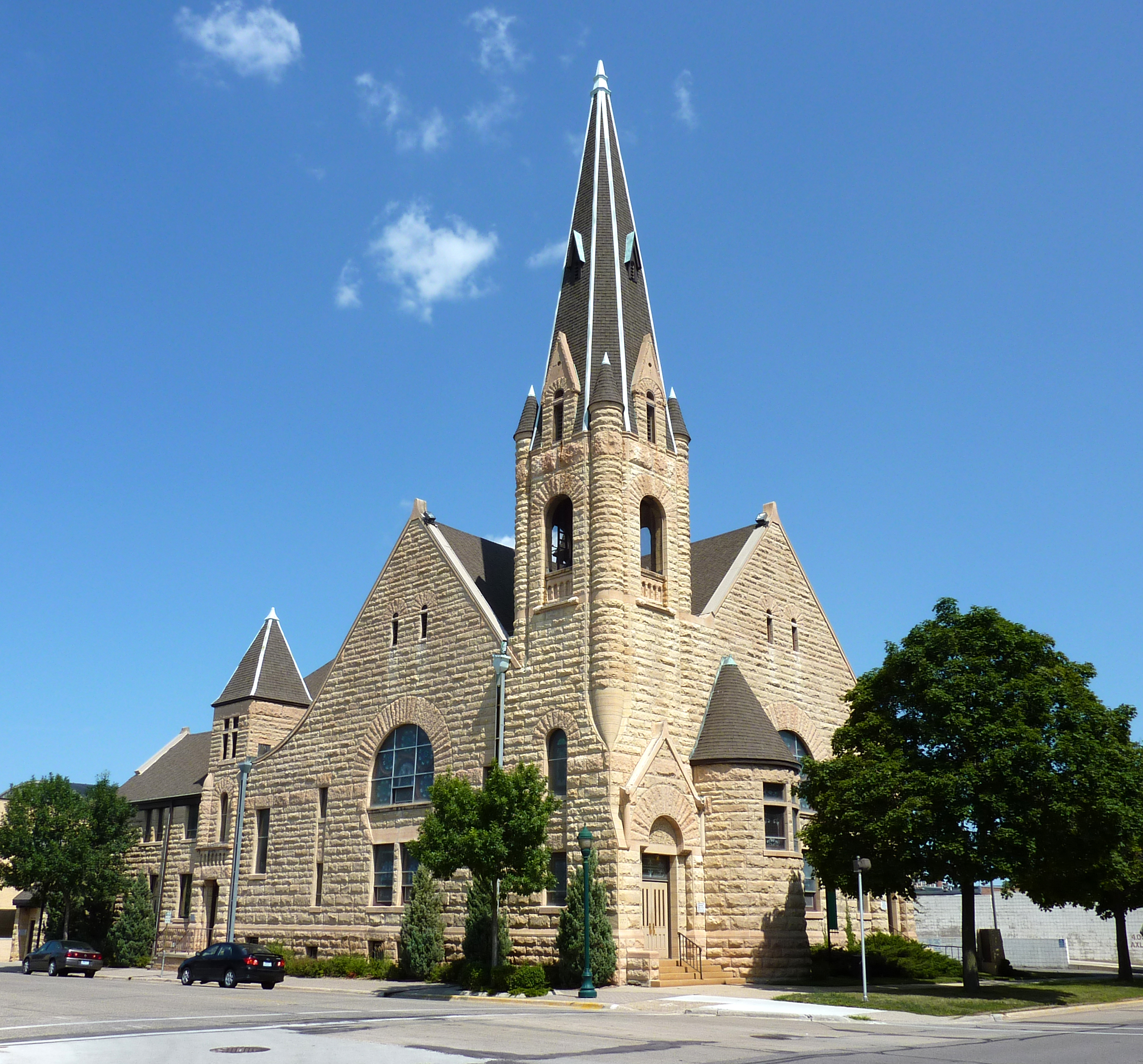
44°04′01″N 94°08′10″W / 44.066944°N 94.136111°WLake Crystal 12 Renesselaer D. Hubbard House 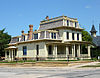
June 7, 1976 606 S. Broad St.
44°09′41″N 94°00′18″W / 44.161389°N 94.005°WMankato 13 William Irving House July 28, 1980 320 Park Lane
44°09′36″N 94°01′18″W / 44.16°N 94.021667°WMankato 14 Jones-Roberts Farmstead July 28, 1980 Minnesota Highway 68
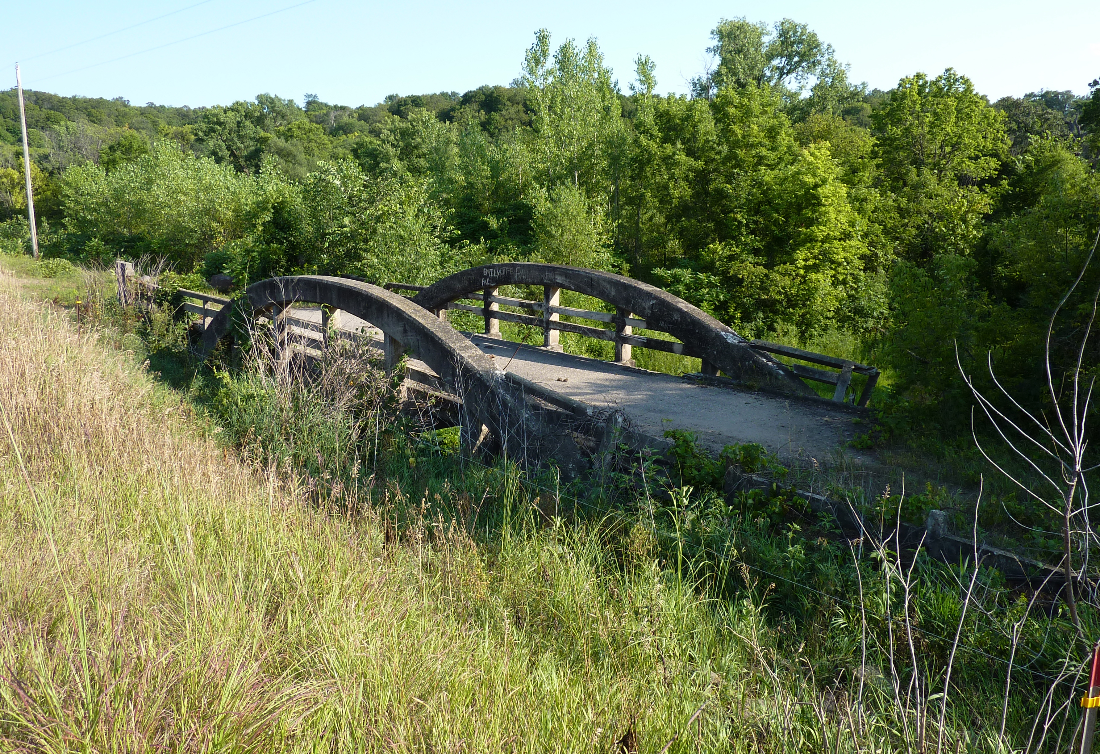
44°11′41″N 94°13′11″W / 44.194722°N 94.219722°WLake Crystal 15 Kern Bridge 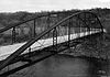
July 28, 1980 Township road over the Le Sueur River
44°06′35″N 94°02′31″W / 44.109722°N 94.041944°WSkyline 16 Lincoln Park Residential Historic District 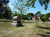
June 2, 1995 Roughly bounded by Shaubut, Record, Pleasant, 2nd, Liberty, Parsons, Lock, and Bradley Sts. and Grace and Wickersham Cts.
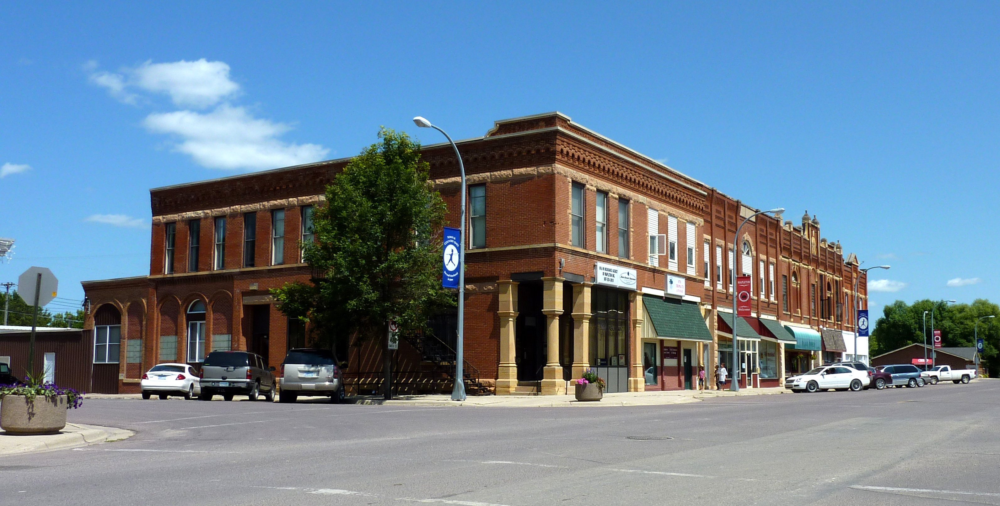
44°09′28″N 94°00′27″W / 44.157778°N 94.0075°WMankato 17 Main Street Commercial Buildings 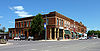
July 28, 1980 Main St.
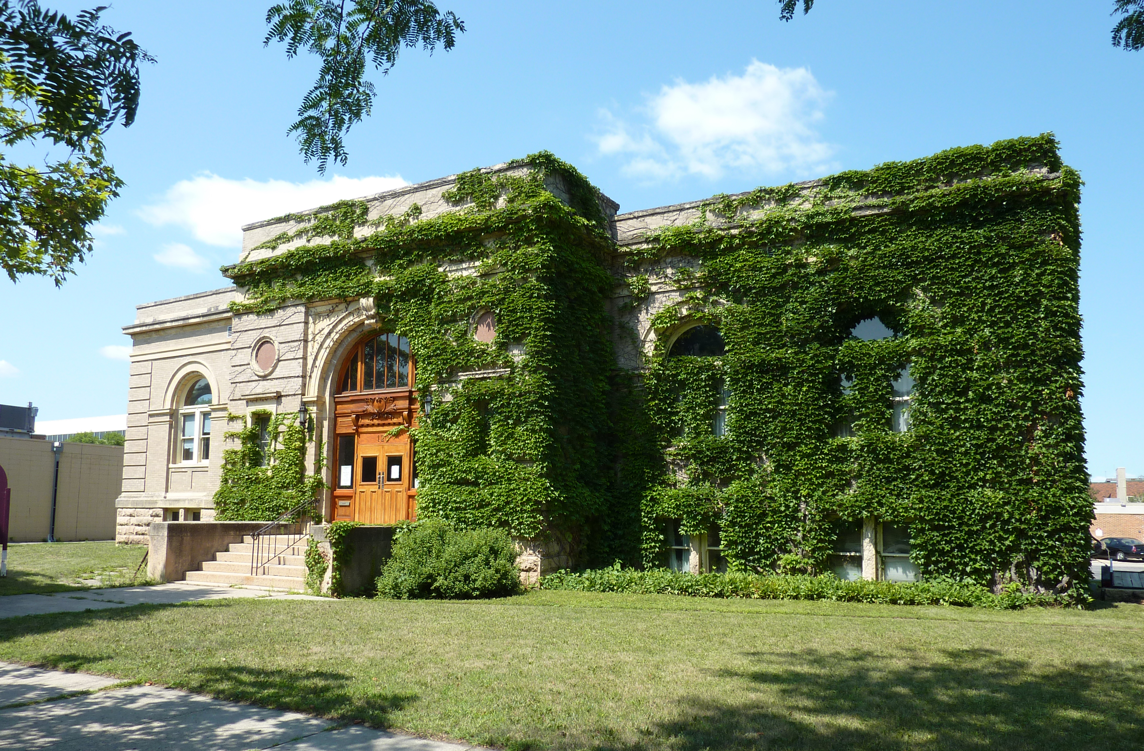
43°55′45″N 93°57′18″W / 43.929167°N 93.955°WMapleton 18 Mankato Public Library and Reading Room 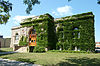
July 28, 1980 120 S. Broad
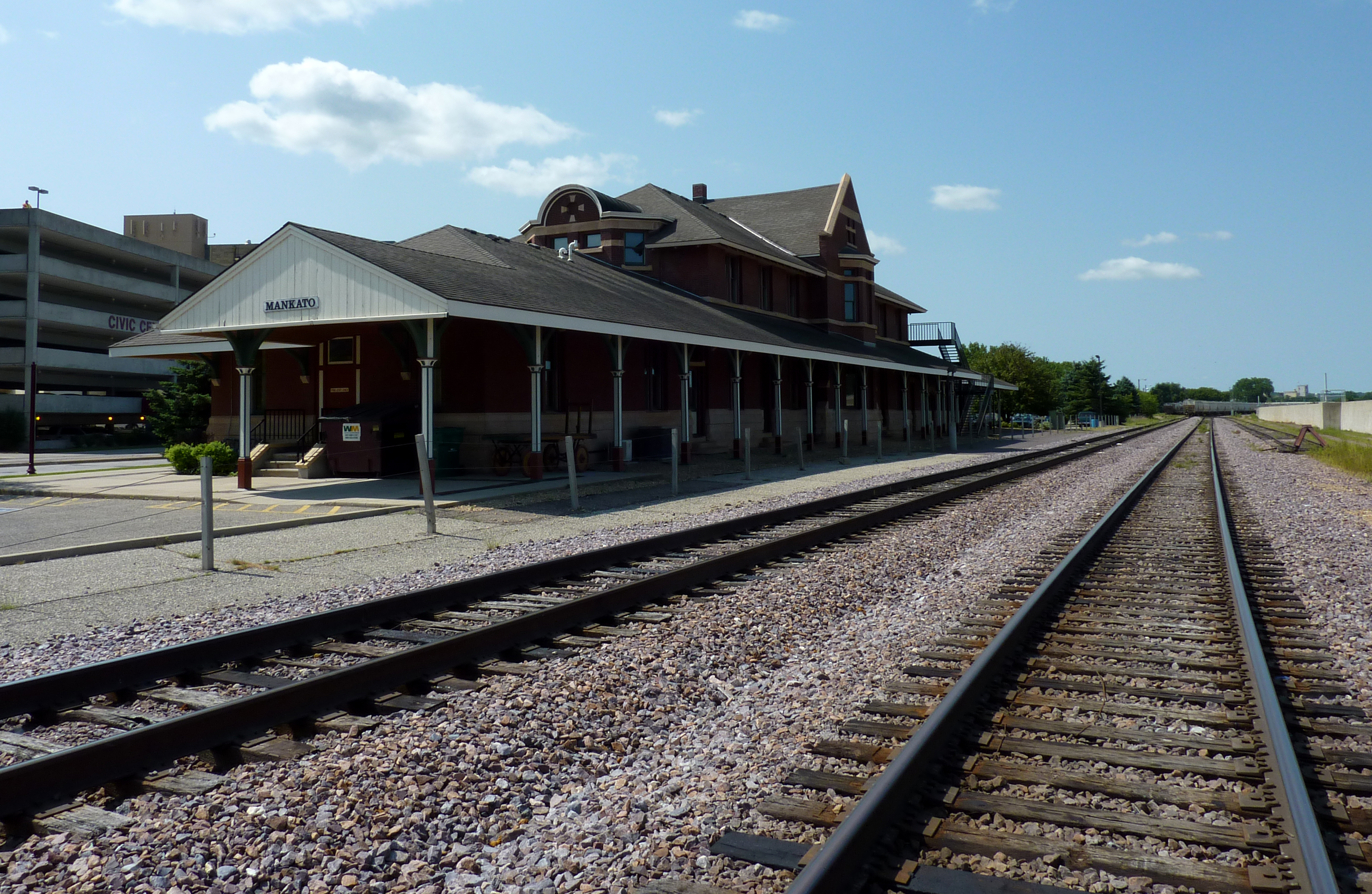
44°09′57″N 94°00′02″W / 44.165833°N 94.000556°WMankato Built as a Carnegie library, it is now the Carnegie Arts Center. 19 Mankato Union Depot 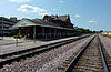
July 28, 1980 112 Pike St.
44°10′03″N 94°00′16″W / 44.1675°N 94.004444°WMankato 20 Mapleton Public Library December 18, 2009 104 1st Ave., NE.
43°55′40″N 93°57′28″W / 43.927703°N 93.957672°WMapleton 21 Marsh Concrete Rainbow Arch Bridge 
July 28, 1980 County Road 101 over the Little Cottonwood River
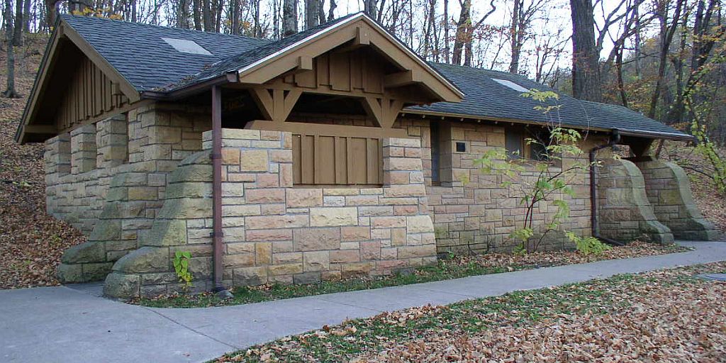
44°14′13″N 94°21′39″W / 44.236944°N 94.360833°WCourtland 22 Minneopa State Park WPA/Rustic Style Historic Resources 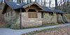
October 25, 1989 Off U.S. Route 169 west of Mankato
44°08′54″N 94°05′20″W / 44.148333°N 94.088889°WMankato 23 North Front Street Commercial District 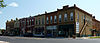
July 28, 1980 301-415 N. Riverfront Dr.
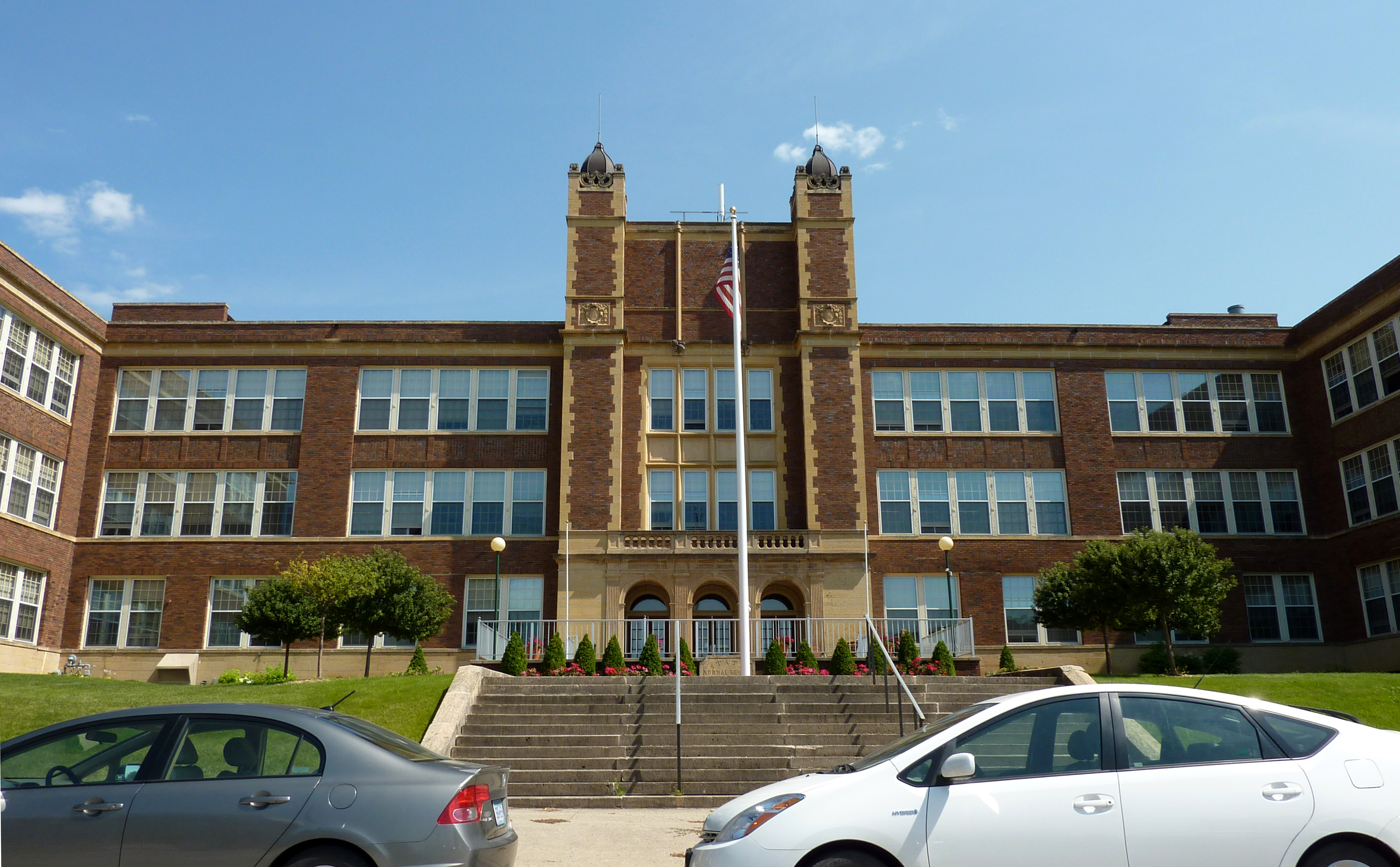
44°10′13″N 93°59′59″W / 44.170278°N 93.999722°WMankato 24 Old Main, Mankato State Teachers College 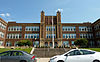
June 2, 1983 5th St., S., and Jackson St.
44°09′43″N 94°00′02″W / 44.161944°N 94.000556°WMankato Profile 25 Seppman Mill 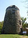
August 26, 1971 Minnesota Highway 68 in Minneopa State Park
44°09′40″N 94°05′08″W / 44.161111°N 94.085556°WSkyline 26 Sterling Congregational Church 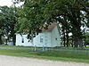
July 28, 1980 County Road 151
43°53′55″N 94°03′25″W / 43.898611°N 94.056944°WAmboy 27 Lucas Troendle House 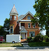
July 28, 1980 2nd and Silver Sts.
43°55′41″N 93°57′19″W / 43.928056°N 93.955278°WMapleton 28 Zieglers Ford Bridge November 6, 1989 Township Road 96 over the Big Cobb River
44°01′45″N 93°59′35″W / 44.029167°N 93.993056°WGood Thunder Profile Contents
See also
- List of National Historic Landmarks in Minnesota
- National Register of Historic Places listings in Minnesota
References
- ^ Numbers represent an ordering by significant words. Various colorings, defined here, differentiate National Historic Landmark sites and National Register of Historic Places Districts from other NRHP buildings, structures, sites or objects.
- ^ a b c d "Blue Earth County Multiple Resource Area". 1979. http://pdfhost.focus.nps.gov/docs/NRHP/Text/64000341.pdf. Retrieved 2011-06-14.
Further reading
Nord, Mary Ann (2003). The National Register of Historic Places in Minnesota. Minnesota Historical Society. ISBN 0-87351-448-3.
External links
- A list of the above sites, with street addresses and other information, is available at Blue Earth County, MN listing of National Register of Historic Places.Com, a private site serving up NRHP information.
- Blue Earth County Multiple Resource Area
- City of Mankato Historic Context Study
U.S. National Register of Historic Places Topics Lists by states Alabama • Alaska • Arizona • Arkansas • California • Colorado • Connecticut • Delaware • Florida • Georgia • Hawaii • Idaho • Illinois • Indiana • Iowa • Kansas • Kentucky • Louisiana • Maine • Maryland • Massachusetts • Michigan • Minnesota • Mississippi • Missouri • Montana • Nebraska • Nevada • New Hampshire • New Jersey • New Mexico • New York • North Carolina • North Dakota • Ohio • Oklahoma • Oregon • Pennsylvania • Rhode Island • South Carolina • South Dakota • Tennessee • Texas • Utah • Vermont • Virginia • Washington • West Virginia • Wisconsin • WyomingLists by territories Lists by associated states Other Municipalities and communities of Blue Earth County, Minnesota Cities Amboy | Eagle Lake | Good Thunder | Lake Crystal | Madison Lake | Mankato‡ | Mapleton | Minnesota Lake‡ | North Mankato‡ | Pemberton | Skyline | St. Clair | Vernon Center
Townships Beauford | Butternut Valley | Cambria | Ceresco | Danville | Decoria | Garden City | Jamestown | Judson | Le Ray | Lime | Lincoln | Lyra | Mankato | Mapleton | McPherson | Medo | Pleasant Mound | Rapidan | Shelby | South Bend | Sterling | Vernon Center
Footnotes ‡This populated place also has portions in an adjacent county or counties
Categories:- Blue Earth County, Minnesota
- National Register of Historic Places in Minnesota by county
- Buildings and structures in Blue Earth County, Minnesota


Wikimedia Foundation. 2010.