Cities of East Asia

Cities of East Asia

For the purposes of this article, East Asia shall represent,


Contents

China, People's Republic

Major Urban Centers
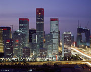
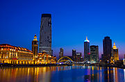
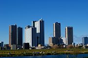
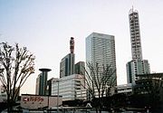
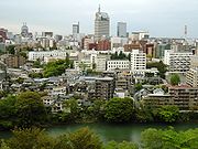
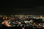
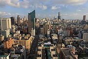
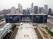
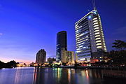
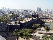
Image: Shanghaiviewpic1.jpg File-Beijing CBD 2008-6-996735.jpg Guangzhou dusk 11-5-2008.png SkylineOfChongqing.jpg 炫彩津门99海河夜景.jpg
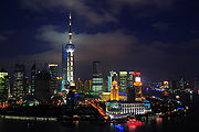
Name: Shanghai (上海) Beijing (北京) Guangzhou (广州) Chongqing (重庆) Tianjin (天津)
Urban
proper
Population:
(census 2010)
17,830,000 12,950,000 11,070,654 7,450,000 6,000,000
Image: WuhanSkyline.jpg XiAn qujiang.jpg Chengdu 01.JPG Nanjing view from Mount Zijin.jpg Southern part of shenyang city.jpg
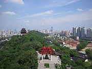
Name: Wuhan (武汉) Xi'an (西安) Chengdu (成都) Nanjing (南京) Shenyang (沈阳)
Urban
proper
Population:
(census 2010)
5,860,000 5,600,000 5,300,000 5,200,000 4,700,000
Image: Harbin at Night.jpg Hockchew night.jpg Aerial view of Dalian, China.JPG Hangzhou City 2 WB (2568).jpg Changchun Cultural Square.JPG
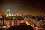
Name: Harbin (哈尔滨) Fuzhou (福州) Dalian (大连) Hangzhou (杭州) Changchun (长春)
Urban
proper
Population:
(census 2010)
4,517,549 4,408,076 3,578,000 3,544,800 3,341,700
Image: Jinanfromqianfoshan.jpg Taiyuan.jpg Zhengzhounewdongqu.png Qingdao Zhan Qiao.jpg Farviewshijiazhuang.jpg
Name: Jinan (济南) Taiyuan (太原) Zhengzhou (郑州) Qingdao (青岛) Shijiazhuang (石家庄)
Urban
proper
Population:
(census 2010)
3,245,000 3,212,500 3,132,000 3,063,000 2,604,930

Hong Kong and Macau

Hong Kong

Major Urban Centers
Image: Sha Tin Shing Mun River.JPG HK Tai Kok Tsui 2007.jpg Hong Kong Skyline Restitch - Dec 2007.jpg
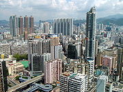
Name: New Territories (新界) Kowloon (九龍) Hong Kong Island (香港島)
Population:
(est. 2009)
3,573,635 2,019,533 1,289,500

Macau

Major Urban Centers
Image: 20091003 Macau 6629.jpg Cotai Strip Buildings 200907.jpg
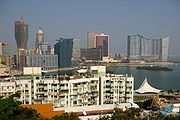
Name: Municipality of Macau (澳門市) The Islands (海島市)
Population:
(est. 2009)
442,200 99,800

Mongolia

Major Urban Centers
Image: UlaanBaatar-2009.jpg Erdenet 02.jpg Darkhan Buddha.jpg Moron2008.jpg Olgii.jpg
Name: Ulaanbaatar (Улаанбаатар) Erdenet (Эрдэнэт) Darkhan (Дархан) Mörön (Мөрөн) Ölgii (Өлгий)
Population:
(est. 2008)
1,067,472 86,866 74,300 36,082 28,496

Japan

Major Urban Centers
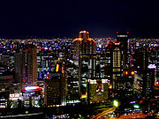
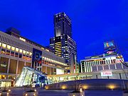
Image: Tokyo odaiba.jpg Minato Mirai In Blue.jpg Osaka - Night View.jpg Nagoya dome from Midland Square.JPG SapporoStation Night.jpg
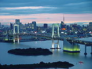
Name: Tokyo - 23 wards (東京 - 23区) Yokohama (横浜) Osaka (大阪) Nagoya (名古屋) Sapporo (札幌)
City Proper
Population:
(census 2010)
8,949,447 3,689,603 2,666,371 2,263,907 1,914,434
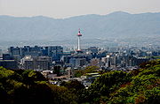
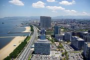
Image: Port of Kobe02s4100.jpg Kyoto01.jpg 20100720 Fukuoka 3704.jpg Musashi-kosugi skyscrapers.jpg ShintoshinEast.jpg
Name: Kobe (神戸) Kyoto (京都) Fukuoka (福岡) Kawasaki (川崎) Saitama (さいたま)
City Proper
Population:
(census 2010)
1,544,873 1,474,473 1,463,826 1,425,678 1,222,910
Image: HiroshimaNight.jpg Sendai city - Hirose river 2005 .jpg Wakato Bridge KitaKyushu Japan.jpg Chiba Makuhari Oka1.jpg Sakai City Hall.png
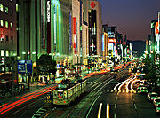
Name: Hiroshima (広島) Sendai (仙台) Kitakyushu (北九州) Chiba (千葉) Sakai (堺)
City Proper
Population:
(census 2010)
1,174,209 1,045,903 977,288 962,130 v842,134
Image: Niigata002.PNG Hamamatsu from above.jpg Kumamoto Castle 37n4272.jpg Hashimoto, Sagamihara.jpg Mt yatsuyama shizuoka.JPG
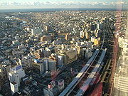
Name: Niigata (新潟) Hamamatsu (浜松) Kumamoto (熊本) Sagamihara (相模原) Shizuoka (岡山)
City Proper
Population:
(census 2010)
812,192 800,912 734,294 717,561 716,328

North Korea

Major Urban Centers
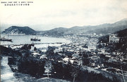
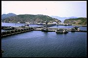
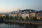
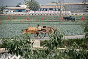
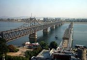
Image: Pyongyang-feb-2009.jpg Hamhung.jpg Seishin 1930s.png NK-Hafen Nampo.jpg Dandong, Liaoning Province.jpg
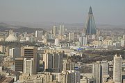
Name: Pyongyang (평양 / 平壤) Hamhung (함흥 / 咸興) Chongjin (청진 / 淸津) Nampho (남포 / 南浦) Sinuiju (신의주 / 新義州)
Urban
Population:
(est. 2005)
3,171,800 874,000 684,000 665,100 500,000
Image: Wonsan waterfront.jpg None North Korea-Sariwon Migok Farm-02.jpg Puyong Pavilion, Haeju.jpg Kaesong.jpg
Name: Wonsan (원산 / 元山) Pyongsong (평성 / 平城) Sariwon (사리원 / 沙里院) Haeju (해주 / 海州) Kaesong (개성 / 開城)
Urban
Population:
(est. 2007)
352,300 315,800 300,100 265,200 261,100

South Korea

Major Urban Centers
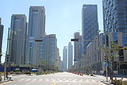
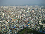
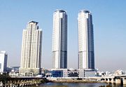
Image: Gangnam-gu, Seoul, South Korea - February 2009.jpg Haeundae 2008.png New downtown Songdo, South Korea.jpg Daegu01.jpg Daejeon Centre.jpg
Name: Seoul (서울) Busan (부산 / 釜山) Incheon (인천 / 仁川) Daegu (대구 / 大邱) Daejeon (대전 / 大田)
City Proper
Population:
(census 2010)
9,794,304 3,414,950 2,662,509 2,446,418 1,501,859
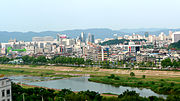
Image: Gwangju city - view apts.jpg Iaan Taewha River Exodium.jpg Hwaseong Third North Secret Gate and Dongbuk Gangnu - 2009-03-01.JPG CWSC.jpg Bundang Jeongja.jpg
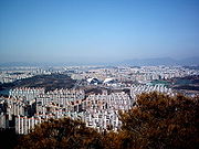
Name: Gwangju (광주 / 光州) Ulsan (울산 / 蔚山) Suwon (수원 / 水原) Changwon (창원 / 昌原) Seongnam (성남 / 城南)
City Proper
Population:
(census 2010)
1,469,293 1,082,567 1,071,913 1,058,021 949,964
Image: Street ilsan.png Gugaldong yongin.JPG Bucheon cityhall.jpg Seoul-Ansan-cityscape-01.jpg Cheongju Sangdangsangseong.jpg
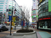
Name: Goyang (고양 / 高陽) Yongin (용인 / 龍仁) Bucheon (부천 / 富川) Ansan (안산 / 安山) Cheongju (청주 / 淸州)
City Proper
Population:
(census 2010)
905,076 856,765 853,039 728,775 666,924

Taiwan, Republic of China

Major Urban Centers
Image: Roctpchall.jpg Kaohsiung skyline.jpg TCG cityhall.jpg Skylineintainancanal01.jpg
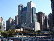
Name: New Taipei (新北) Kaohsiung (高雄) Taichung (台中) Taipei (台北) Tainan (台南)
City Proper
Population:
(est. 2011)
3,900,199 2,772,981 2,652,435 2,630,285 1,873,193
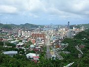
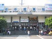
Image: Taiwan National TsingHua University Night.JPG Nankan Creek Night.jpg Central Keelung Panorama 0002.jpg Jhongli Station.jpg 嘉義市區夜景鳥瞰.jpg
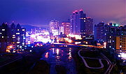
Name: Hsinchu (新竹) Taoyuan (桃園) Keelung (基隆) Zhongli (中壢) Chiayi (嘉義)
City Proper
Population:
(est. 2011)
416,426 407,757 382,551 370,376 272,218
Image: ChanghuaStation.jpg 屏東市公所.JPG Pingjhen City righteousness people's temple-2.jpg Taoyuan main Canal-3.jpg TRA Yangmei Station.jpg
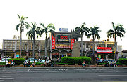
Name: Changhua (彰化) Pingtung (屏東) Pingzhen (平鎮) Bade (八德) Yangmei (楊梅)
City Proper
Population:
(est. 2011)
236,471 210,534 207,715 176,843 151,044

Notes and references

See also


Wikimedia Foundation. 2010.
Игры ⚽ Нужна курсовая?

Look at other dictionaries:

  • List of cities of East Asia — For the purposes of this article, East Asia shall represent,*PRC *ROC (Taiwan) *JPN *PRK *KORAs well as a broader group including,*MNG *flagicon|RUS Russian Far East Largest Megalopolis areasLargest citiesThe population listed here is by… …   Wikipedia

  • East Asia — For other uses, see East Asia (disambiguation). East Asia Area 11,839,074 km2 (4,571,092 sq mi)[1] …   Wikipedia

  • East Turkestan independence movement — is a broad term that refers to advocates of an independent, self governing Xinjiang, also referred to as East Turkestan. Currently the area is an autonomous region in the People s Republic of China.Historical backgroundPrior to the 20th century,… …   Wikipedia

  • East Asians in the United Kingdom — East and Southeast Asians in the United Kingdom …   Wikipedia

  • East (disambiguation) — East may refer to: Directions and generalised locations *East, a cardinal direction * The East , the region that includes Asia and the Middle East *East (hundred), a division of England, UK *Far East, the region that includes East Asia and… …   Wikipedia

  • Spotlight: East Asia and the Transition in North Korea — ▪ 1995       The kingdom of Koguryo, the 7th century equivalent of North Korea, had a distinctive way of dealing with outside enemies: avoid direct confrontation and maintain a formidable military capability inside fortified cities, including… …   Universalium

  • Asia — /ay zheuh, ay sheuh/, n. a continent bounded by Europe and the Arctic, Pacific, and Indian oceans. 2,896,700,000; ab. 16,000,000 sq. mi. (41,440,000 sq. km). * * * I Largest continent on Earth. It is bounded by the Arctic Ocean, the Pacific Ocean …   Universalium

  • Asia — For other uses, see Asia (disambiguation). Asia …   Wikipedia

  • Asia (Roman province) — The Roman province of Asia, also called Phrygia, was an administrative unit added to the late Republic. It was a Senatorial province governed by a proconsul. The arrangement was unchanged in the reorganization of the Roman Empire in… …   Wikipedia

  • East Timor — Democratic Republic of Timor Leste Repúblika Demokrátika Timór Leste[1] (Tetum) …   Wikipedia

Share the article and excerpts

Direct link
Do a right-click on the link above
and select “Copy Link”