- Darkhan (city)
-
For other uses, see Darkhan (disambiguation).
Darkhan (Дархан) City Country Mongolia Aimag Darkhan Uul Coordinates 49°28′08″N 105°57′27″E / 49.46889°N 105.9575°E Population 74,300 (2007) Founded 1961 Date October 17 Timezone UTC+8 Area code +976 (0)137 License plate ДА_ (_ variable) 
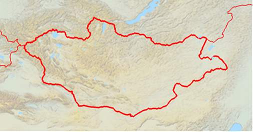
 Location of Darkhan in Mongolia
Darkhan (Mongolian: Дархан, blacksmith) is the second-largest city in Mongolia and the capital of Darkhan-Uul Aimag (Darkhan-Uul Province). It has a population of 74,300 (as of 2007[1]).
Contents
History
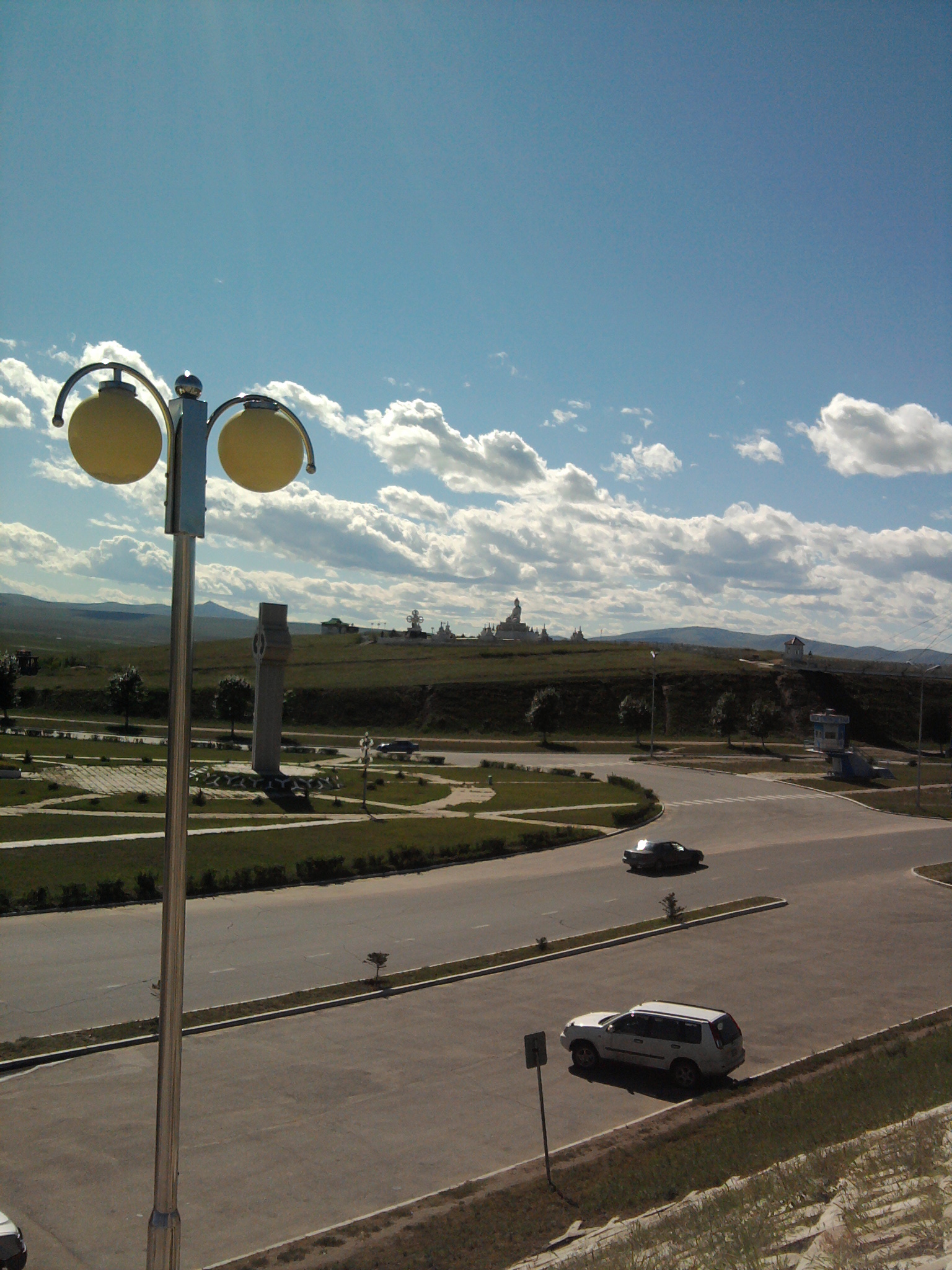
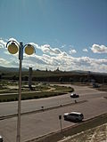 Buddha Statue complex
Ground was broken on October 17, 1961, and the city was built with extensive economic assistance from the Soviet Union. As its name implies, the city was originally conceived to be a manufacturing site for Mongolia's northern territory. The city remains a mostly industrial region and is the home of some 82% of the aimag's population. As with most urban Mongols, some 86% of the city's population live in residential apartments, with the remaining population living in yurts (gers) on the outskirts of the city. The city is close to Russia and retains a fairly large percentage of native Russians.
Climate
Darkhan has a borderline humid continental climate (Dwb), close to the more typical subarctic climate (Dwc) of northern Mongolia, which is found in higher areas near the city, and only marginally wet enough to avoid qualifying as a semi-arid climate (BSk). These three climate types tend to overlap a good deal over the border regions of Mongolia, Russia and Kazakhstan[2]. This area has extremely cold and dry winters; however the summers are warmer and more humid.
Climate data for Darkhan Month Jan Feb Mar Apr May Jun Jul Aug Sep Oct Nov Dec Year Average high °C (°F) −16
(3)−12
(10)1
(34)11
(52)19
(66)24
(75)26
(79)24
(75)18
(64)9
(48)−3
(27)−13
(9)7.3 Average low °C (°F) −28
(−18)−26
(−15)−15
(5)−4
(25)3
(37)10
(50)13
(55)12
(54)3
(37)−5
(23)−16
(3)−25
(−13)−6.5 Precipitation mm (inches) 5
(0.2)4
(0.16)6
(0.24)13
(0.51)22
(0.87)63
(2.48)92
(3.62)82
(3.23)41
(1.61)15
(0.59)8
(0.31)6
(0.24)357
(14.06)Avg. precipitation days 4 3 4 6 8 12 15 15 9 6 5 5 92 Source: [3] Culture
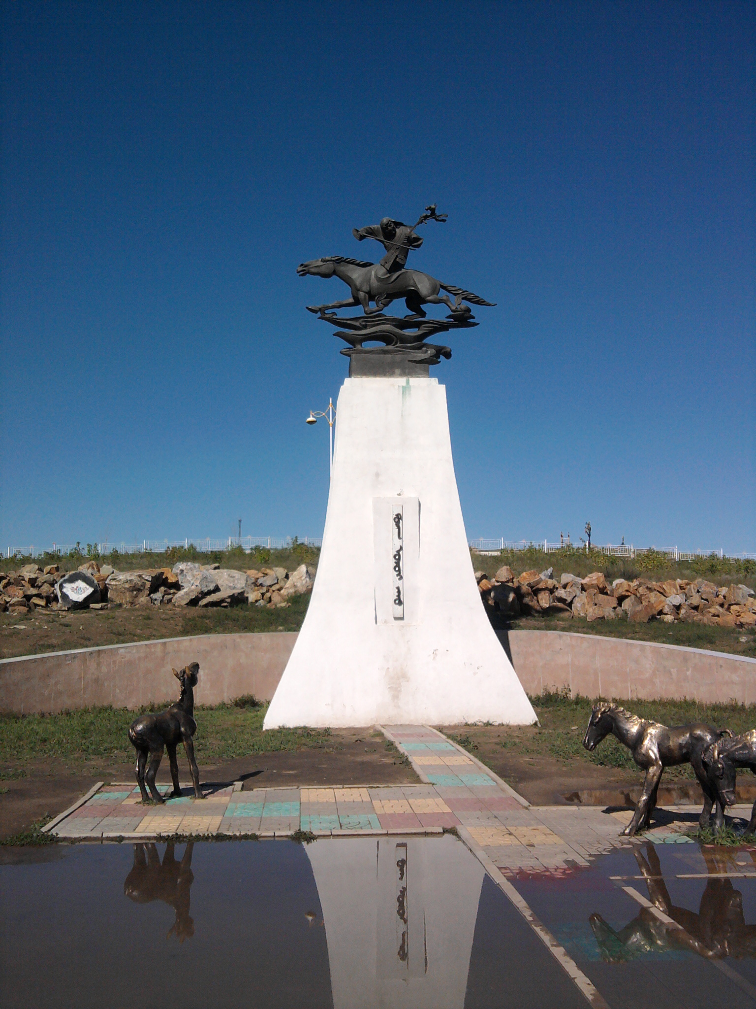
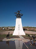 Monument to Morinkhuur instrument
The Kharagiin monastery is housed in a pretty log cabin in the old town; it has recently become active again as a Buddhist monastery.
In addition, the city hosts the Museum of Darkhan-Uul. This museum, also called the Traditional Museum of Folk Art, contains a collection of archaeological findings, traditional clothing, religious artifacts, and taxidermy.
Education
Darkhan is the second largest educational center in Mongolia, making the educational level of the city’s population very high. Hundreds of students come to Darkhan from other parts of Mongolia to study. Currently in Darkhan Uul Aimag there are 10 higher education institutions, 25 secondary schools, 14 kindergartens, the Institute of Management and Development, the Regional Business Development Center and the Plant Science and Agricultural Training Research Institute.
Partner cities
Darkhan is partnered with:[4]
City State Country Dimitrovgrad  Haskovo Province
 Bulgaria
Irving  Texas
Texas United States
Kaposvár  Somogy County
 Hungary
Ulan Ude  Buryatia
 Russia
References
 Capital: Ulaanbaatar
Choir, Govisümber · Mandalgovi, Dundgovi · Dalanzadgad, Ömnögovi · Baruun-Urt, Sükhbaatar · Sainshand, Dornogovi · Altai, Govi-Altai · Bulgan, Bulgan · Öndörkhaan, Khentii · Choibalsan, Dornod · Ulaangom, Uvs · Uliastai, Zavkhan · Erdenet, Orkhon · Bayankhongor, Bayankhongor · Zuunmod, Töv · Khovd, Khovd · Darkhan, Darkhan-Uul · Tsetserleg, Arkhangai · Ölgii, Bayan-Ölgii · Sükhbaatar, Selenge · Arvaikheer, Övörkhangai · Mörön, Khövsgöl
 Categories:
- Populated places established in 1961
- Aimag centers
- Mongolia geography stubs
Wikimedia Foundation. 2010.