- Öndörkhaan
-
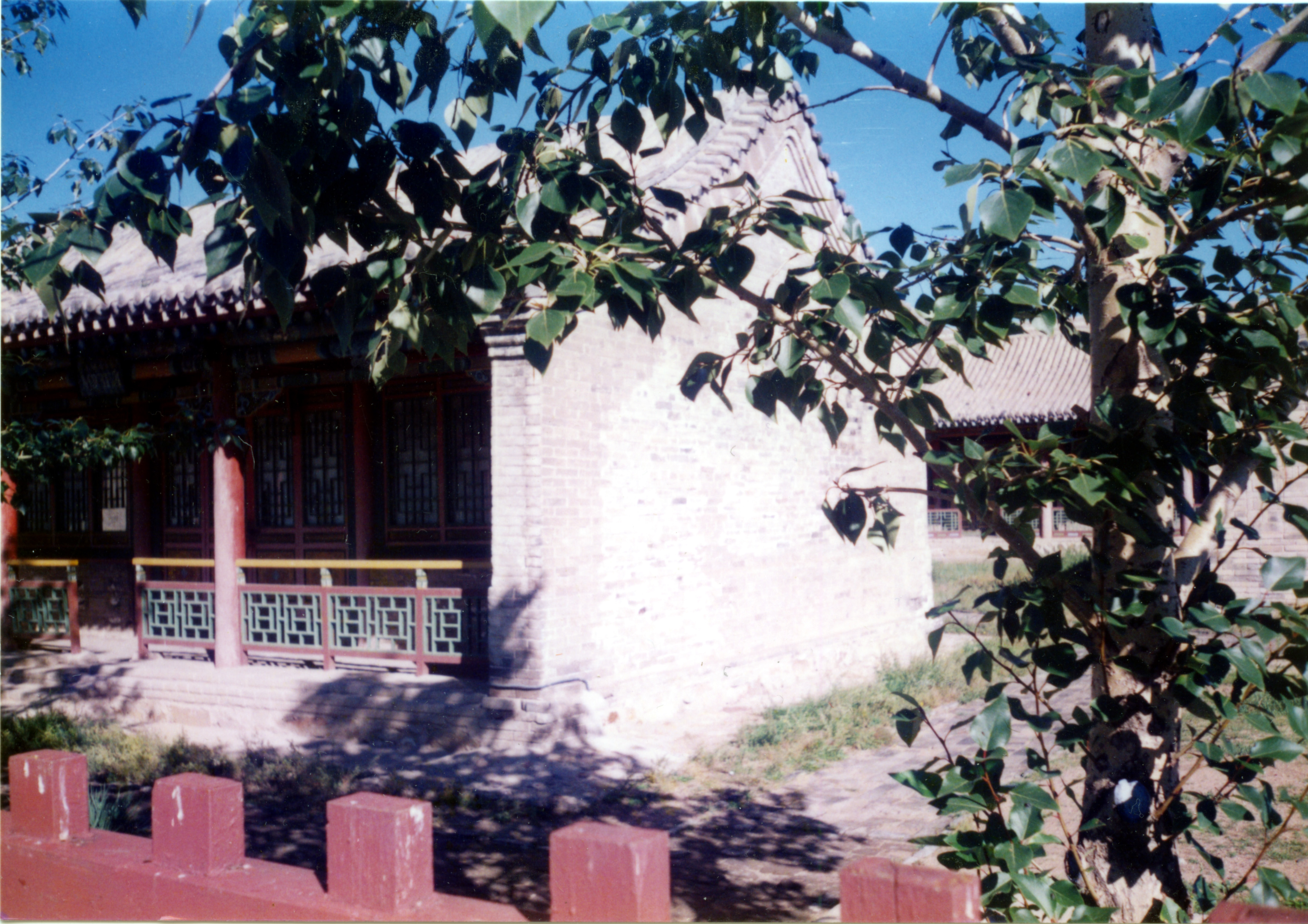
 In the Öndörkhaan Museum complex
Öndörkhaan (Mongolian: Өндөрхаан; sometimes Undurkhaan), is a town in Mongolia located 290 km east of Ulaanbaatar. Öndörkhaan has a population of roughly 15,000 persons and serves as the capital of the Khentii Aimag (province).
Contents
Geography and climate
Öndörkhaan shares its locational with the Kherlen sum (municipality) and is the most populous part of the Khentii province.
Öndörkhaan experiences a semi-arid climate (Köppen BSk) with long, dry, frigid winters and short, very warm summers. Öndörkhaan is the second coldest city in Mongolia. It borders the Kherlen River and is located on a broad flat unprotected plain. In winter, when the river freezes over and the winds howl across the open steppe it can easily reach -40C (no wind chill factor).
Climate data for Öndörkhaan Month Jan Feb Mar Apr May Jun Jul Aug Sep Oct Nov Dec Year Average high °C (°F) −15
(5.0)−10.4
(13.3)0.2
(32.4)10.8
(51.4)19.2
(66.6)24.0
(75.2)25.4
(77.7)23.5
(74.3)17.7
(63.9)9.3
(48.7)−3.9
(25.0)−12.6
(9.3)7.35
(45.23)Daily mean °C (°F) −22.4
(−8.3)−19.2
(−2.6)−8.9
(16.0)2.3
(36.1)10.6
(51.1)16.4
(61.5)18.5
(65.3)16.5
(61.7)9.4
(48.9)0.6
(33.1)−11.6
(11.1)−19.8
(−3.6)−0.63
(30.86)Average low °C (°F) −27.9
(−18.2)−26.9
(−16.4)−16.6
(2.1)−5.8
(21.6)2.2
(36.0)9.2
(48.6)12.0
(53.6)10.1
(50.2)2.8
(37.0)−5.9
(21.4)−17.7
(0.1)−25.4
(−13.7)−7.49
(18.51)Precipitation mm (inches) 1.2
(0.047)2.6
(0.102)2.5
(0.098)7.9
(0.311)15.0
(0.591)42.2
(1.661)65.4
(2.575)49.4
(1.945)23.4
(0.921)8.2
(0.323)3.3
(0.13)2.4
(0.094)223.5
(8.799)Source: Hong Kong Observatory [1] Economy
Coal mining is important to the economy of the town and Chandgana Tal coalfield is located 53 km E from Öndörkhaan.
There exists a major United Nations Development Programme (UNDP) Networking and Cluster Development project stationed in Öndörkhaan specializing in the strengthen of urban, peri-urban and rural business associations and networks so as to reduce the very high unemployment rates.
Transportation
The Öndörkhaan Airport (UNR/ZMUH) has one unpaved runway and was serviced by regular flights from and to Ulan Bator, before the paved highway was completed.
The town serves as a transportation hub, linking Ulaanbaatar and Choibalsan.
See also
References
- ^ "Climatological Normals of Underkhaan". Hong Kong SAR Government. http://www.hko.gov.hk/wxinfo/climat/world/eng/asia/china/underkhaan_e.htm. Retrieved 2011-01-05.
Capital: UlaanbaatarChoir, Govisümber · Mandalgovi, Dundgovi · Dalanzadgad, Ömnögovi · Baruun-Urt, Sükhbaatar · Sainshand, Dornogovi · Altai, Govi-Altai · Bulgan, Bulgan · Öndörkhaan, Khentii · Choibalsan, Dornod · Ulaangom, Uvs · Uliastai, Zavkhan · Erdenet, Orkhon · Bayankhongor, Bayankhongor · Zuunmod, Töv · Khovd, Khovd · Darkhan, Darkhan-Uul · Tsetserleg, Arkhangai · Ölgii, Bayan-Ölgii · Sükhbaatar, Selenge · Arvaikheer, Övörkhangai · Mörön, Khövsgöl

Coordinates: 47°19′24″N 110°39′40″E / 47.32333°N 110.66111°E
Categories:- Aimag centers
Wikimedia Foundation. 2010.