- Bayankhongor
Geobox|City
name = Bayankhongor
native_name = _mn. Баянхонгор
other_name =
category = Aimag capital
etymology =
official_name =
motto =
nickname =
image_caption =
symbol =
country = Mongolia
state_type = Aimag
state = Bayankhongor
region =
district =
municipality =
part =
landmark =
river =
location =
elevation = 1874
prominence =
lat_d = 46 | lat_m = 11 | lat_s = 30 | lat_NS = N
long_d = 100 | long_m = 43 | long_s = 04 | long_EW = E
highest =
highest_location = | highest_region = | highest_state =
highest_elevation =
highest_lat_d = | highest_lat_m = | highest_lat_s = | highest_lat_NS =
highest_long_d = | highest_long_m = | highest_long_s = | highest_long_EW =
lowest =
lowest_location = | lowest_region = | lowest_state =
lowest_elevation =
lowest_lat_d = | lowest_lat_m = | lowest_lat_s = | lowest_lat_NS =
lowest_long_d = | lowest_long_m = | lowest_long_s = | lowest_long_EW =
length = | length_orientation =
width = | width_orientation =
area = 64
area_land =
area_water =
area_urban =
area_metro =
population = 26252 | population_date = est 2006
population_urban =
population_metro =
population_density = 410
population_density_urban =
population_density_metro =
established =
date =
government =
government_location = | government_region = | government_state =
government_elevation =
government_lat_d = | government_lat_m = | government_lat_s = | government_lat_NS =
government_long_d = | government_long_m = | government_long_s = | government_long_EW =
mayor =
leader =
timezone = UTC+8 | utc_offset =
timezone_DST = | utc_offset_DST =
postal_code =
area_code = +976 (0)144
code1_type = License plate
code1 = БХ_ (_ variable)
whs_name =
whs_year =
whs_number =
whs_region =
whs_criteria =
iucn_category =
free = | free_type =

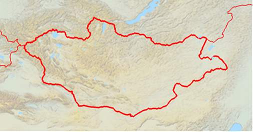
map_caption = Location of Bayankhongor in Mongolia
map_background =
map_locator = Mongolia
commons =
statistics =
website =
footnotes =Bayankhongor ( _mn. Баянхонгор) is the capital of the
Bayankhongor Province (aimag) inMongolia . The administration of the Bayankhongor Sum (district) is also located in the same place. The city is at an elevation of 1859 m above sea level, and has a population of 26.252 (2006).* city area data in referenced sources are inconsistent.
** Shargaljuut is an urban-type settlement under Bayankhongor sum juristiction. Shargaljuut is located 54 km NE from Bayankhongor city.
Transportation
The
Bayankhongor Airport (BVN/ZMBH) has two runways, one of them paved, and is served by regular flights toUlan Bator .References
Wikimedia Foundation. 2010.
