- Chatswood railway station
-
 Chatswood
North Shore / Western Line Northern Line Station code CWD Suburb Chatswood Street(s) Railway Street Distance from Central Station 11.74 km Altitude (above sea level) 87 m Types of stopping trains Suburban all stops
Suburban limited stops
Intercity (peak hour)Number of platforms 4 Number of tracks 4 Platform arrangement 2 Island Type of station Ground Ticket barriers Yes Transfers available Bus
TrainDisabled access 
Yes Station facilities Link Chatswood railway station is an important CityRail station in Sydney, Australia, serving the North Shore business centre of Chatswood. The station is served by the North Shore, Western & Northern lines.
Contents
History
The original Chatswood station was opened, along with the North Shore railway line on 1 January 1890. An island platform was built on 23 May 1900 and a third "local" platform brought into use on 12 July 1919. The first electric train ran through Chatswood on 15 August 1927, with full electric passenger service commencing 27 October 1928. At one time there was a goods siding at the station and before 1958 there was a tram terminus in Victoria Avenue beside the station. The station entrance was later integrated with a shopping centre called The Interchange.
With the construction of the Epping to Chatswood railway line, it was decided to redevelop the station to accommodate Chatswood's new role as a junction station. The original station, as well as the attached bus interchange and shopping centre were demolished in 2005 and a temporary station was opened where the former platform 3 was located. A new western island platform opened in place of the original island platform on 16 October 2006. The eastern island platform opened in 2008.[1]
The new station precinct is known as the Chatswood Transport Interchange (CTI) and consists of the railway station, a bus interchange and pedestrian pathways connecting the precinct to the surrounding streets. The CTI was constructed as a Public Private Partnership and was to include a new shopping plaza called Metro Chatswood and 3 towers. The private developers, CRI Chatswood, went into receivership whilst construction was underway. As a result, the shopping centre has not yet opened and major construction of the towers has yet to begin.[2]
Station layout
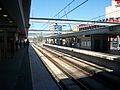
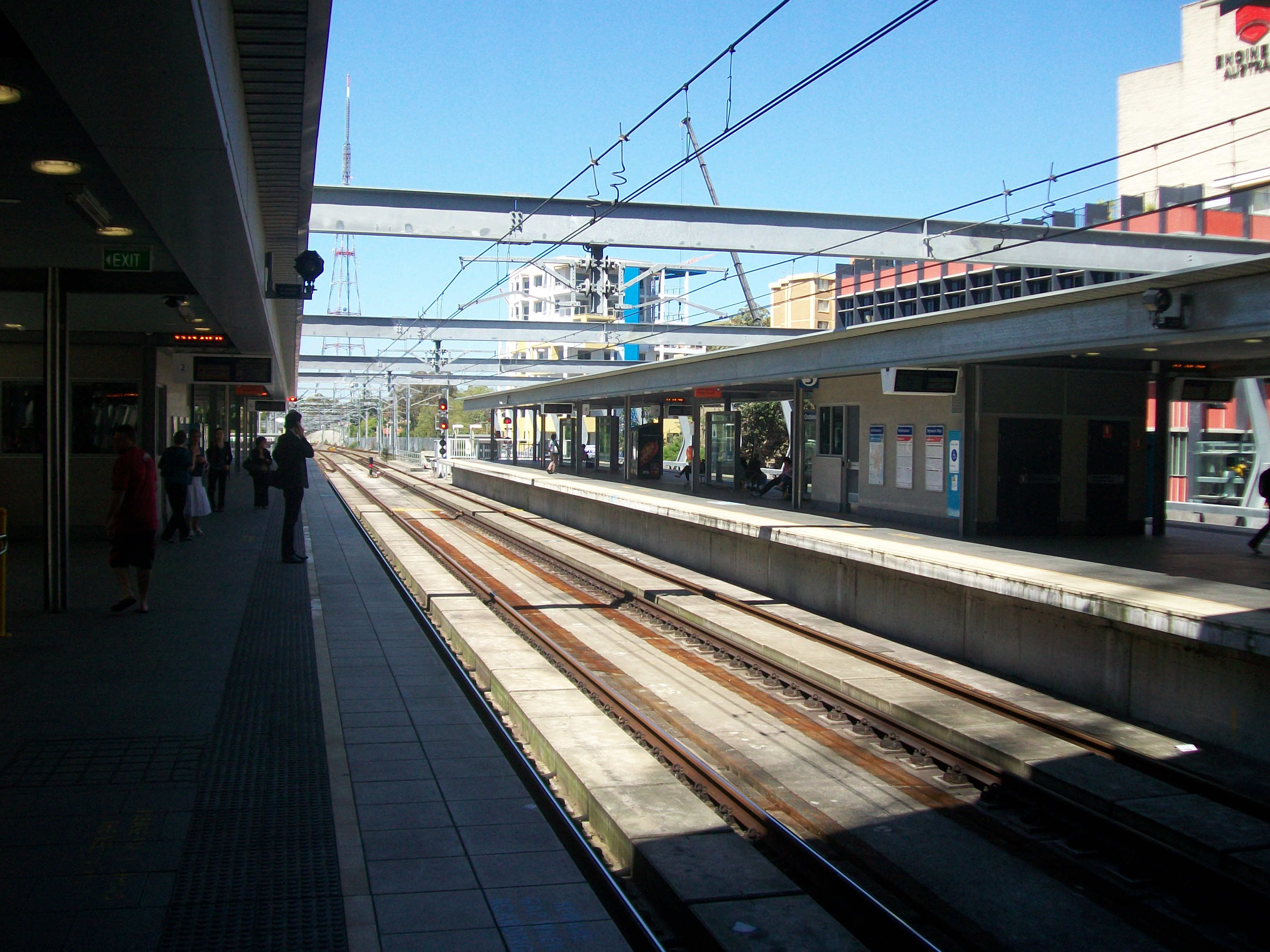
The station consists of two island platforms - a city-bound platform and an outbound platform.[3] The two centre platforms - platforms 2 & 3 - serve the Epping to Chatswood line. The outer platforms serve the North Shore line. A turnback / stabling road is located to the south of the station and is used to terminate some trains from the ECRL.
Access to Chatswood station is provided by a series of pedestrian walkways at three different intersections: Victoria Avenue and Railway Street, Chatswood Mall and Orchard Road, and Post Office Lane and Victor Street.[4] Additional pedestrian entrances are available from Chatswood Central Plaza, adjacent to the north side of the station concourse.[4]
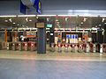
Because the station and tracks are level with the ground, the concourse is actually below street level despite being open-air in nature. A row of ticket barriers with ticket windows allows passengers access to the concourse which features stairs, lifts, and escalators to access the platforms.[5] The station fulfils CityRail's Easy Access criteria.
Platforms and services
The station is served by eight trains per hour each way, with additional trains during weekday peak hours.
Platform Line Stopping Pattern Notes 
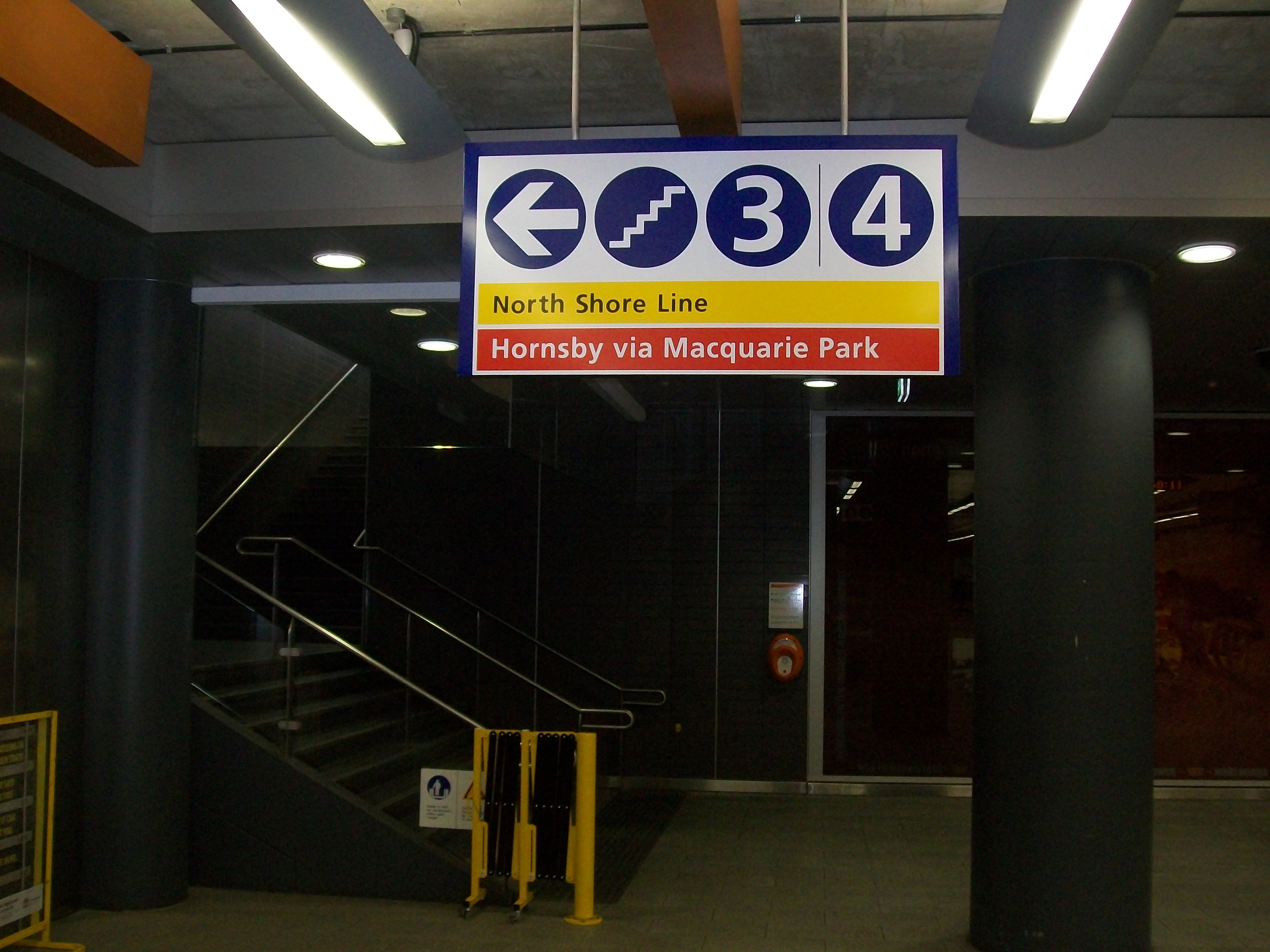
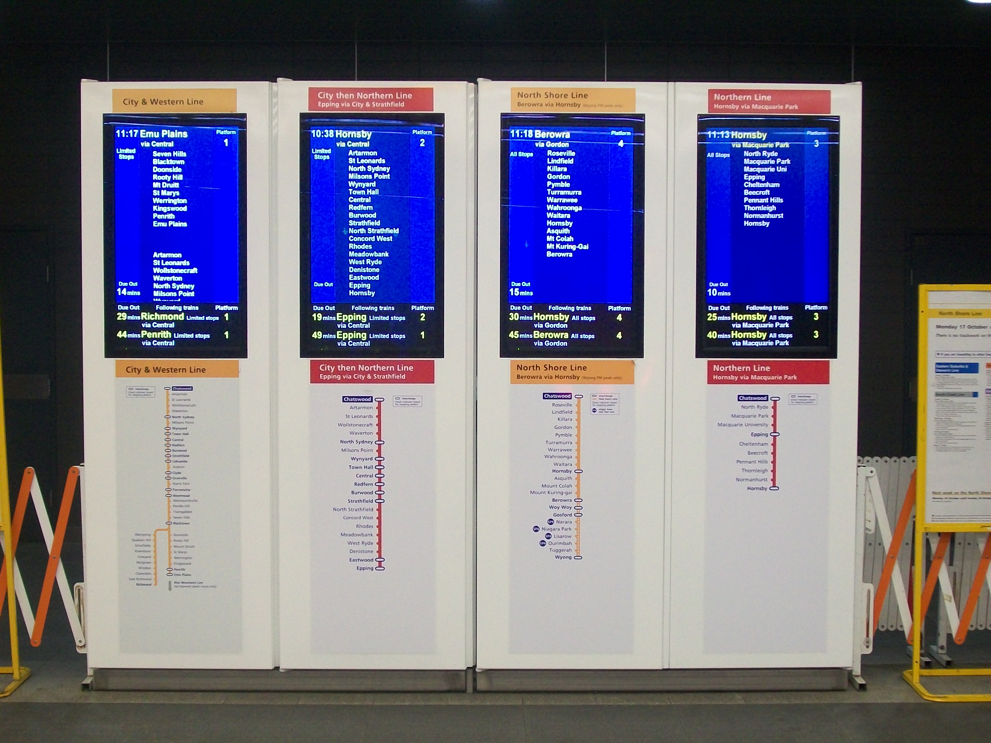
North Shore Line All stations and limited stops services to Central and on to the ■Western Line or the ■Northern Line 
Northern Line All stations and limited stops services to North Sydney and Central via the City, then on to Epping via Strathfield 
Northern Line All stations and limited stops services to Hornsby via Macquarie Park and Epping 
North Shore Line All stations and limited stops services to Lindfield, Gordon, Hornsby and Berowra via Gordon; peak hour intercity services to Gosford and Wyong via Gordon Transport links
 Bus interchange, completed as part of the reconstruction
Shorelink runs three routes to and from Chatswood railway station:
NightRide route N90 serves Chatswood station
Sydney Buses runs the following routes:
- L60 - to Mona Vale via Dee Why, Collaroy
- M40 - Metrobus service to Bondi Junction Interchange via Town Hall
- 136 - to Manly via Dee Why
- 137 - to House with No Steps
- 143 - to Manly via St Leonards, Crows Nest, Spit Junction
- 144 - to Manly via Royal North Shore Hospital, St Leonards, Crows Nest, Spit Junction
- 200 - to Bondi Junction via North Sydney, Edgecliff
- 255 - to Chatswood - Colwell Cres
- 256 - to Chatswood - Hawthorne Ave
- 257 - to Balmoral Beach via Spit Junction
- 258 - to Mars Road Industrial Area
- 261 - to City - QVB via Lane Cove
- 267 - to Crows Nest via Northbridge
- 273 - to City - Wynyard via Willoughby
- 275 - to Castlecrag via Middle Cove
- 533 - to Sydney Olympic Park via Ryde, North Ryde
- 534 - to West Ryde via North Ryde
- 536 - to Gladesville via Lane Cove
- 545 - to Parramatta via Macquarie University, Eastwood and Dundas Valley
- 550 - to Parramatta via Macquarie University, Eastwood, Kissing Point Road
Forest Coachlines run the following routes:
- 277 - to Castle Cove
- 278 - to Killarney Heights
- 279 - to Frenchs Forest
- 280 - to Warringah Mall
- 281 - to Davidson
- 282 - to Belrose
- 283 - to Belrose
- 284 - to Duffy's Forest
Trackplan
 Track layout at Chatswood after construction of the Epping-Chatswood railway line, completed in 2009. 'Up Shore' is the technical name of the track that carries trains towards Sydney, and 'Down Shore' the track that carries trains away from Sydney.
 Track layout at Chatswood prior to construction of the Epping- Chatswood railway line
Image Gallery
- Before upgrade and refurbishment
-
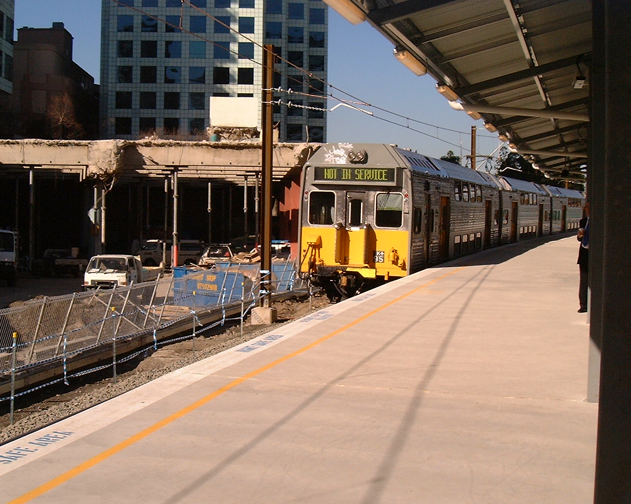
Temporary platform at Chatswood Station during the construction of the Epping to Chatswood Line, July 2005
-
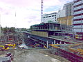
Chatswood Transport Interchange construction site, August 2006
-

Platform 4, April 2007
- After upgrade and refurbishment
-
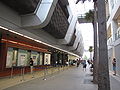
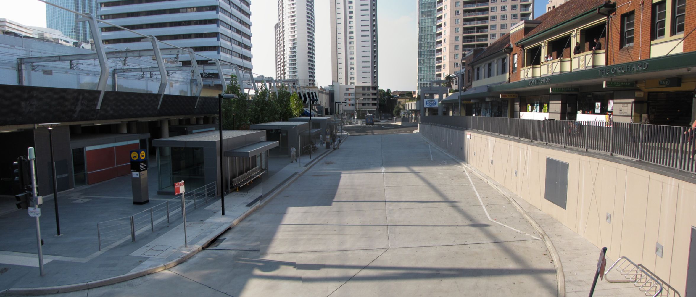
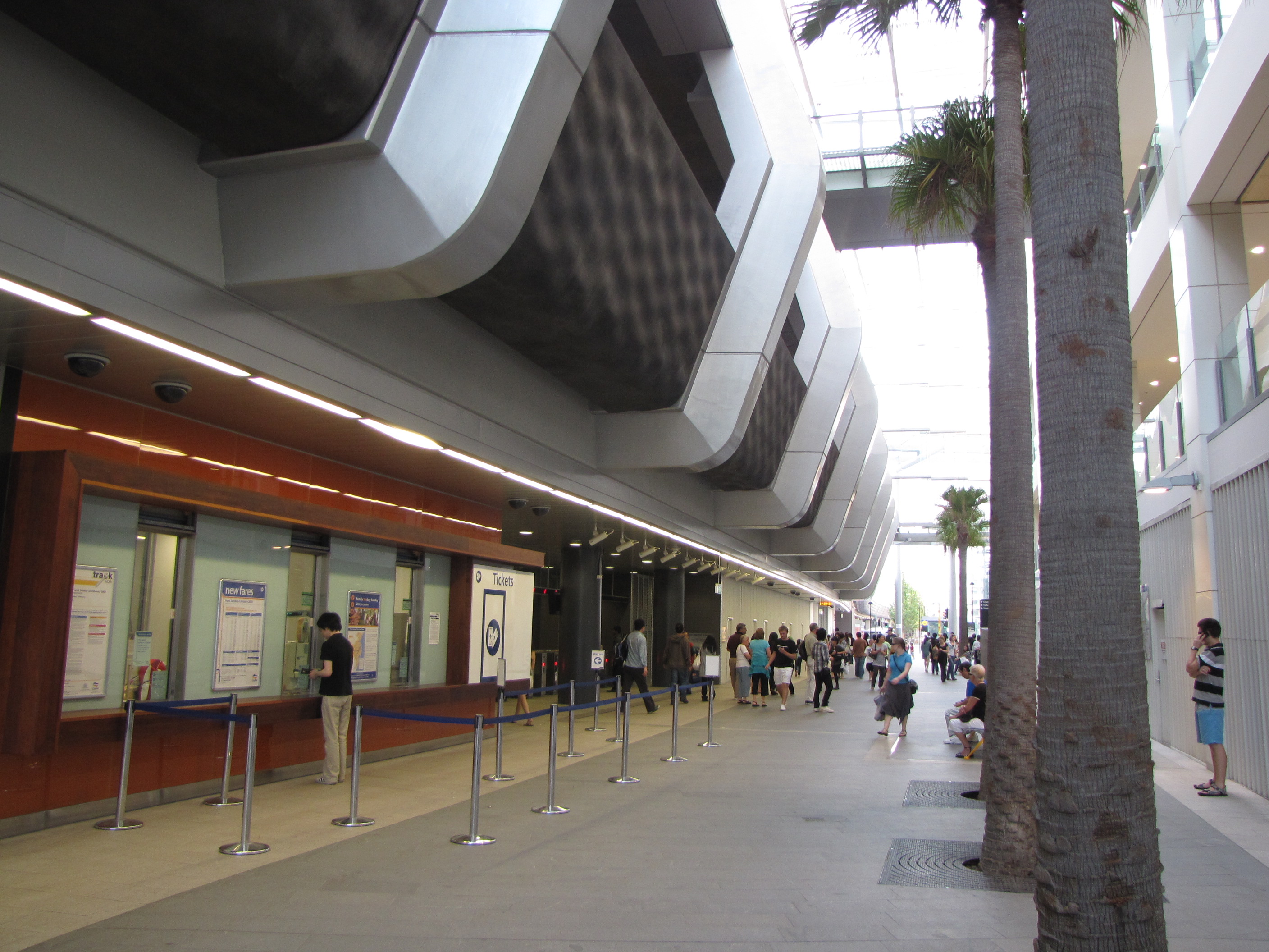
Entrance
-
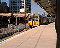
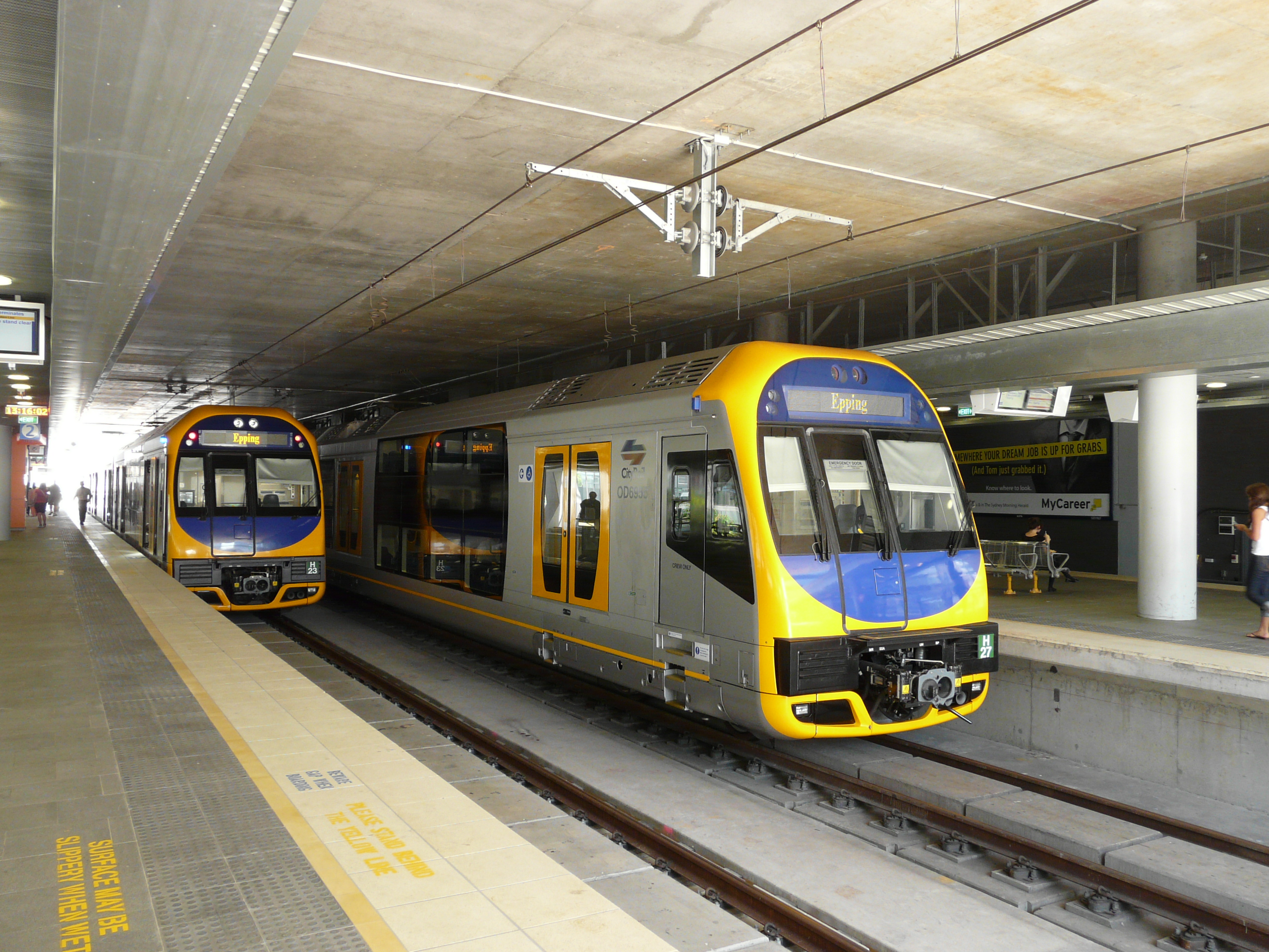
A pair of 4 car Oscar sets using the centre platforms to operate shuttle services for the Chatswood-Epping rail link.
-
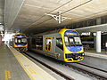
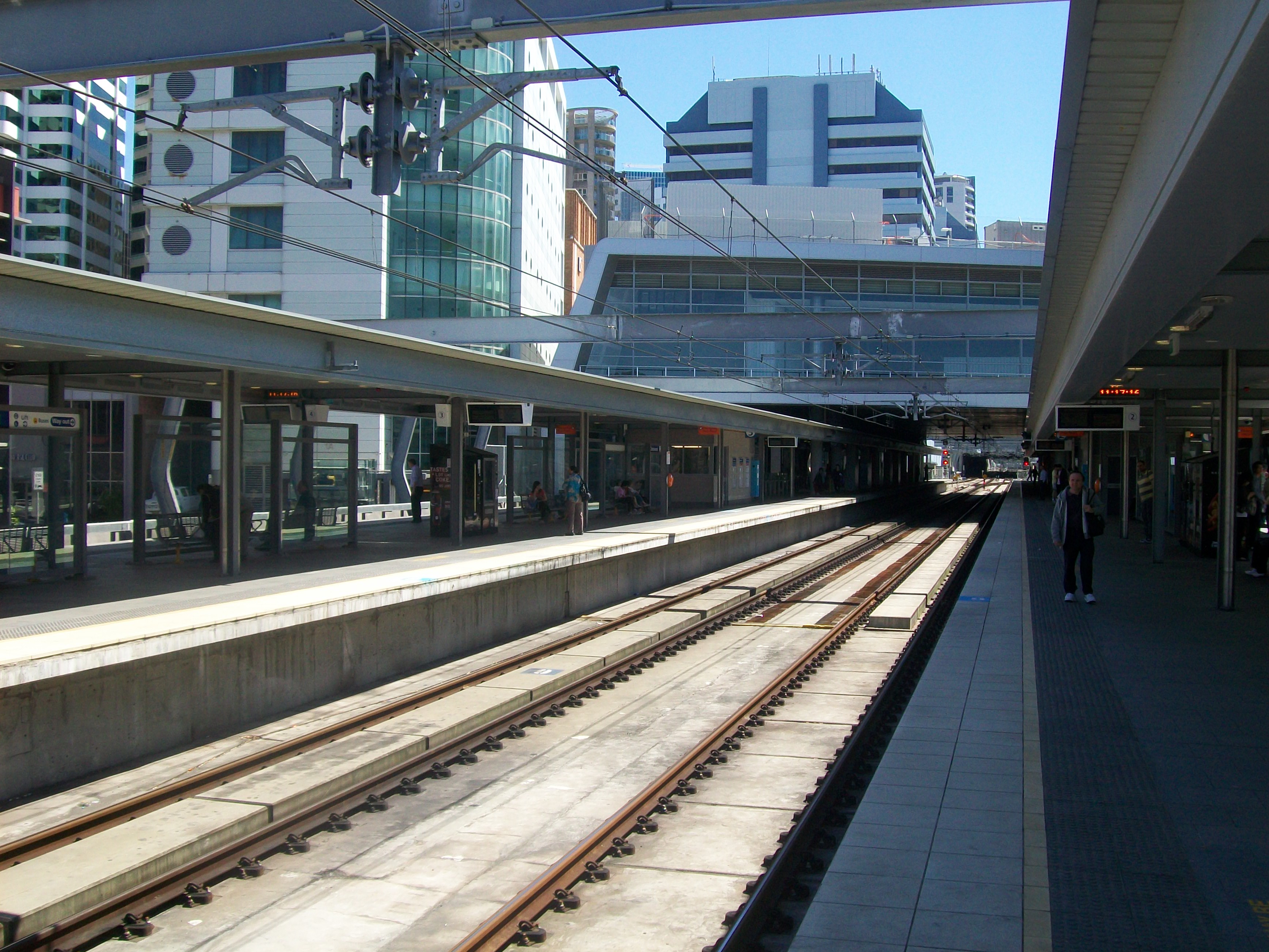
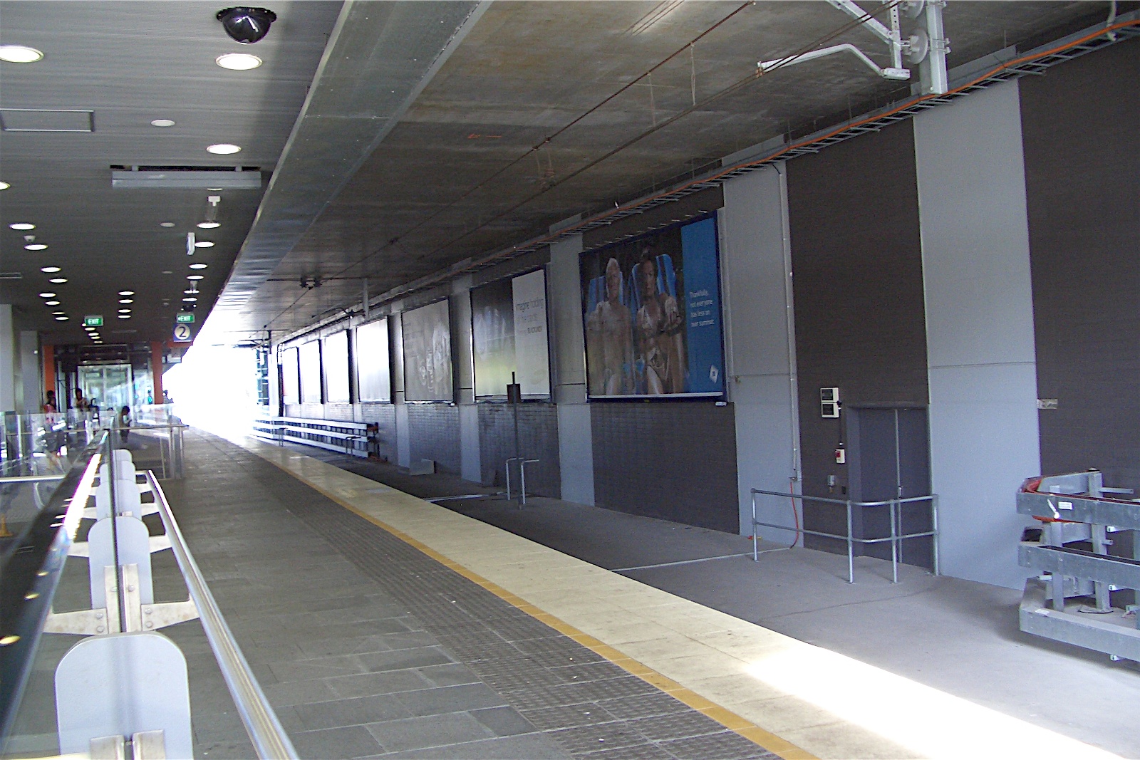
Sydney CBD end of Platforms 2 & 3.
-

Looking to the middle of Platforms 3 & 4.
-
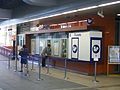
Ticket office windows
-
Ticket barriers
-

The Concourse
-
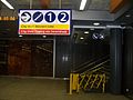
Stairs to Platforms 1 & 2
-
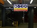
Stairs to Platforms 3 & 4
-
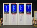
Service Indicators on the concourse
Neighbouring stations
Preceding station CityRail Following station Rosevilletowards Wyong or BerowraNorth Shore Line Artarmontowards Centraltowards HornsbyNorthern Line via Macquarie ParkArtarmontowards CentralReferences
- ^ Chatswood Transport Interchange Transport Construction Authority
- ^ Carter, Bridget. Chatswood development delays trigger $28m payout for Bonett. The Australian, 30 September 2010.
- ^ Railcorp, "CityRail - Chatswood Station Map". Accessed 23 February 2009.
- ^ a b Guide to bus services at Chatswood Transport Interchange New South Wales Ministry of Transport Retrieved 2009-02-15
- ^ Chatswood station map CityRail Retrieved 2009-02-15
External links
- Transport Infrastructure Development Corporation (TIDC) - Epping to Chatswood Rail Line
- Metro Chatswood - New Shopping Centre located inside the station - Virtual Tour of the Station
- Chatswood Transport Interchange - Developers Website showing construction photos
- Photo gallery showing construction of the Chatswood station redevelopment
- Chatswood Railway Station - NSWRail.net - More images available
North Shore Line - Central
- Town Hall
- Wynyard
- Milsons Point
- North Sydney
- Waverton
- Wollstonecraft
- St Leonards
- Artarmon
- Chatswood
- Roseville
- Lindfield
- Killara
- Gordon
- Pymble
- Turramurra
- Warrawee
- Wahroonga
- Waitara
- Hornsby
- Asquith
- Mount Colah
- Mount Kuring-gai
- Berowra
- Cowan
- Hawkesbury River
- Woy Woy
- Point Clare
- Gosford
- Narara
- Niagara Park
- Lisarow
- Ourimbah
- Tuggerah
- Wyong
Northern Line - Hornsby
- Normanhurst
- Thornleigh
- Pennant Hills
- Beecroft
- Cheltenham
- Epping
- Macquarie University
- Macquarie Park
- North Ryde
- Chatswood
- Artarmon
- St Leonards
- Wollstonecraft
- Waverton
- North Sydney
- Milsons Point
- Wynyard
- Town Hall
- Central
- Redfern
- Burwood
- Strathfield
- North Strathfield
- Concord West
- Rhodes
- Meadowbank
- West Ryde
- Denistone
- Eastwood
- Epping
(stations in italics are under planning or under construction)CityRail Lines Suburban - Eastern Suburbs & Illawarra
- Bankstown
- Inner West
- Airport & East Hills
- South
- Cumberland
- Western
- North Shore
- Carlingford
- Olympic Park
- Northern
Interurban and regional - South Coast
- Southern Highlands
- Blue Mountains
- Newcastle & Central Coast
- Hunter
Under construction or planning: South West Rail Link, North West Rail Link Coordinates: 33°47′50″S 151°10′51″E / 33.797324°S 151.180887°E
Categories:- Railway stations in Sydney
- Easy Access railway stations in Sydney
- Railway stations opened in 1890
- Railway stations opened in 2008


Wikimedia Foundation. 2010.