- Gordon railway station, Sydney
-
 Gordon
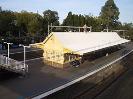
North Shore Line Station code GDO Suburb Gordon Street(s) St Johns Avenue Distance from Central Station 17.12 km Altitude (above sea level) 116 m Types of stopping trains Suburban all stops
Suburban limited stops
Peak hour intercityNumber of platforms 3 Number of tracks 3 Platform arrangement 1 island
1 sideType of station Ground Ticket barriers No Transfers available Bus Disabled access 
Yes Station facilities Link Gordon is a CityRail railway station located in the suburb of Gordon, Sydney, Australia. It lies on the North Shore line.
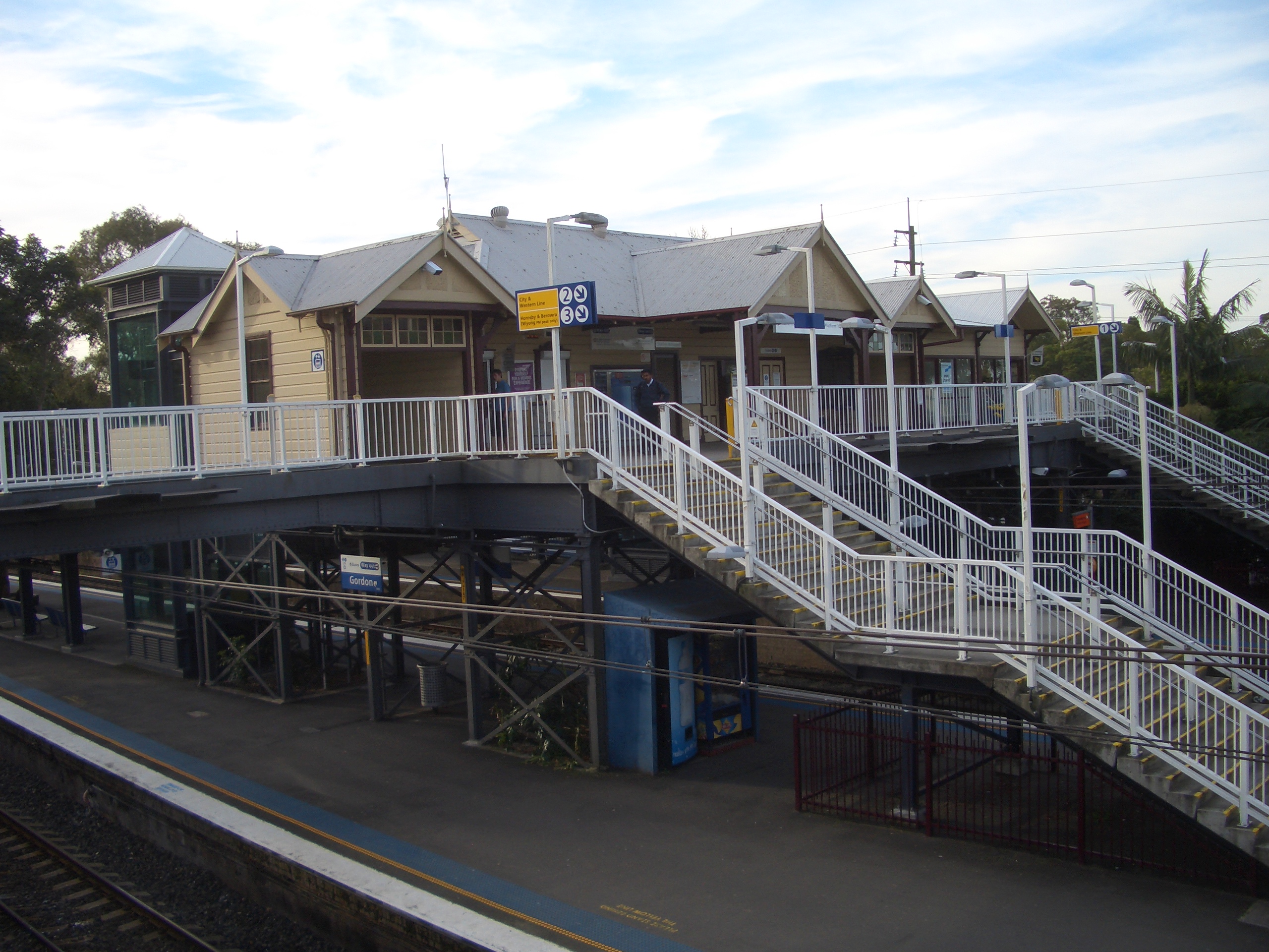
Some trains from downtown Sydney terminate at Gordon Station, and reverse direction to go back towards the Central via North Sydney. Gordon station now has the preferred arrangement of tracks where the terminating platform is located between the two through tracks, similar to Lindfield station. Currently, Gordon has a long island platform and a siding platform.
The old mechanical lever frame, which operated the previous incarnation of the railway signals, is still in place on the platform where curious passengers can take a peek.
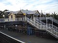
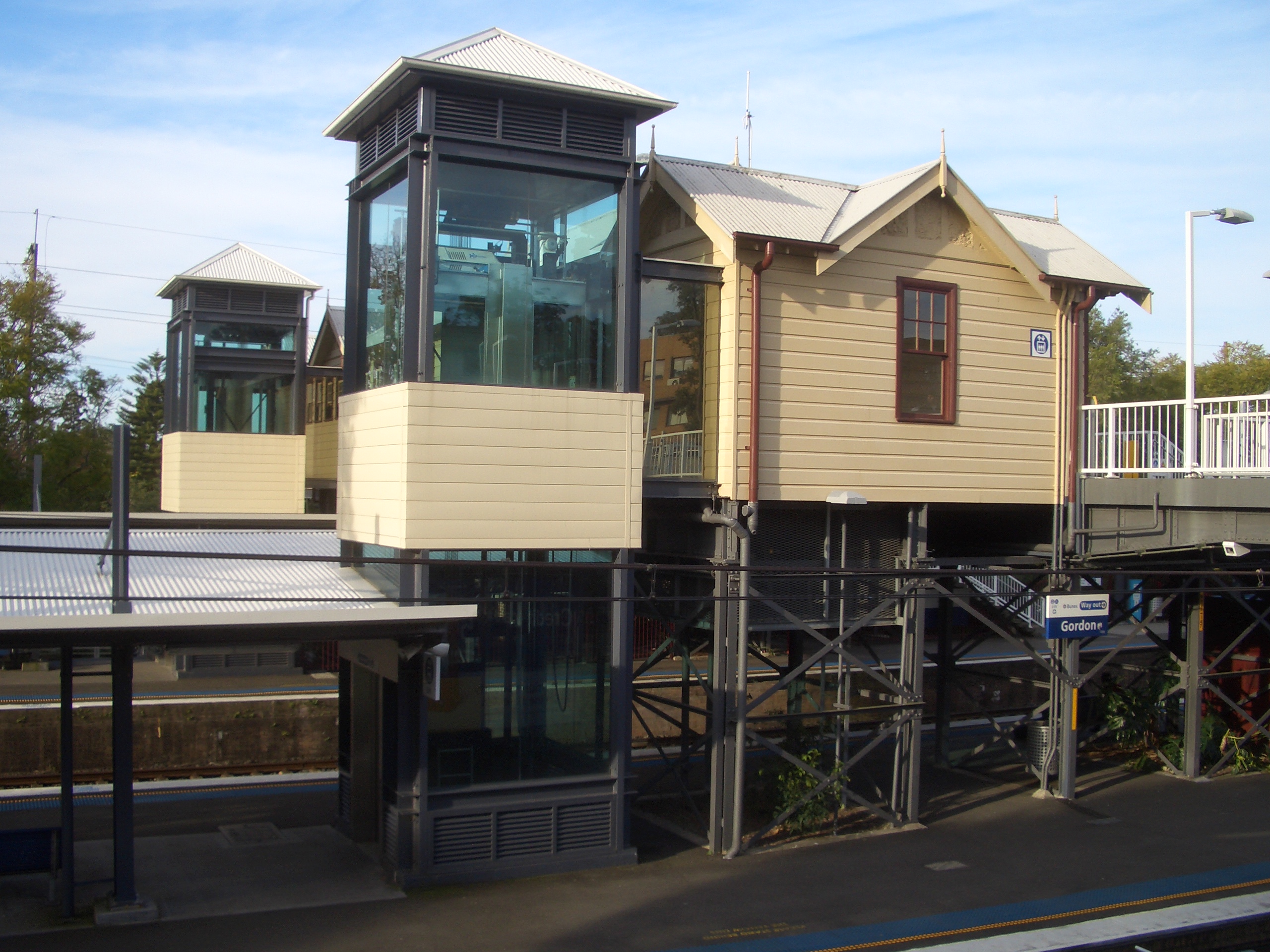
Due to the increasing number of passengers at Gordon station and itself being one of the main stations along the North Shore line, upgrades were proposed in 2005 by state MP Barry O'Farrell[citation needed]. These upgrades were the installation of Easy Access facilities, including all-weather protection on the ramps, overbridge and platforms, and two lifts.
Contents
Platforms and services
The station is served by four trains per hour each way, with additional trains during weekday peak hours.
Platform Line Stopping Pattern Notes 
North Shore Line all stations and limited stops services to Central and on to the ■Western Line or the ■Northern Line. 
North Shore Line terminating services; all stations and limited stops services to Central and on to the ■Western Line. 
North Shore Line all stations and limited stops services to Hornsby and Berowra; peak hour intercity services to Gosford and Wyong. Gallery
-
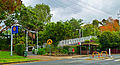
Werona Avenue entrance
-

Lifts and office
-
Entrance and office
-
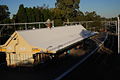
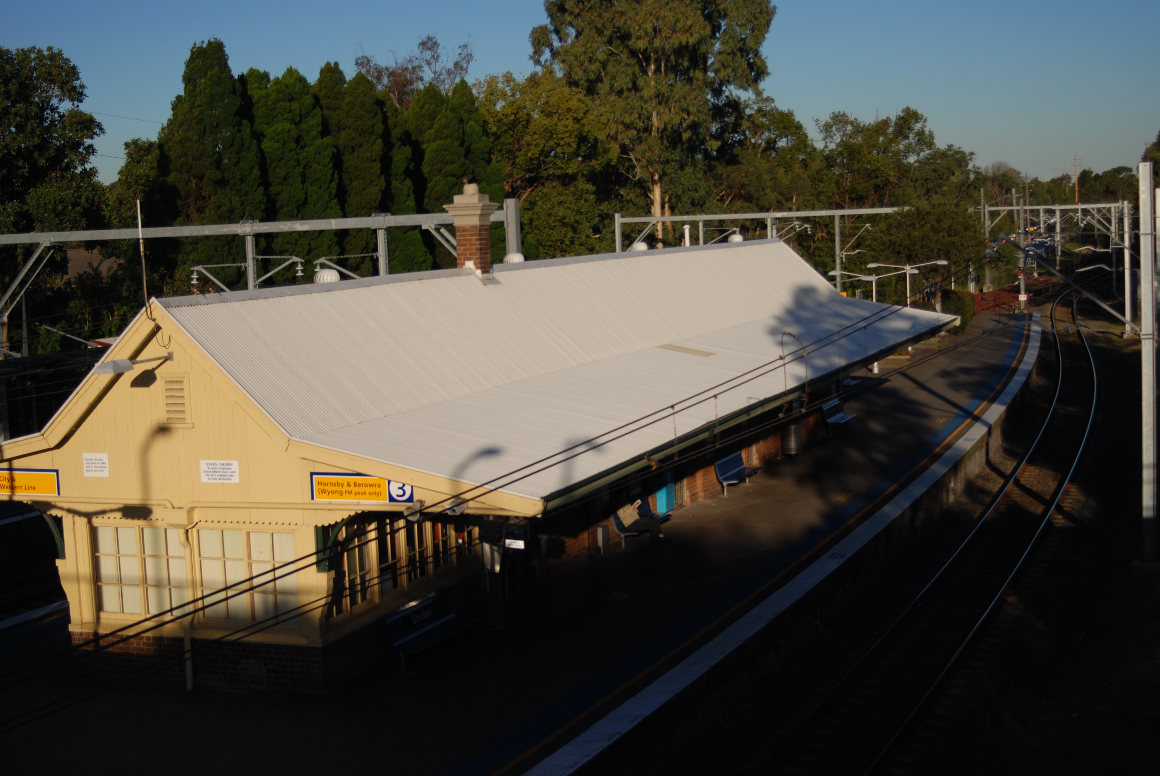
Platform building
Bus connections
Shorelink
- Route 560 - West Pymble
- Route 582 - Acron Road, St Ives
Forest Coach Lines
- Route 195 - Gordon Station - St Ives - St Ives Chase
- Route 196 - Gordon Station - St Ives - Terrey Hills -Mona Vale
- Route 197 - Macquarie University - Gordon - St Ives - Terrey Hills - Mona Vale
NightRide
- Route N90 - North to Hornsby station, south to Town Hall. The bus stop is on the Pacific Highway about a block away from the station.
Schools used by
- Ravenswood School for Girls
- St Ives High School
- Killara High School
Neighbouring stations
Preceding station CityRail Following station Pymbletowards Wyong or BerowraNorth Shore Line Killaratowards CentralNorth Shore Line - Central
- Town Hall
- Wynyard
- Milsons Point
- North Sydney
- Waverton
- Wollstonecraft
- St Leonards
- Artarmon
- Chatswood
- Roseville
- Lindfield
- Killara
- Gordon
- Pymble
- Turramurra
- Warrawee
- Wahroonga
- Waitara
- Hornsby
- Asquith
- Mount Colah
- Mount Kuring-gai
- Berowra
- Cowan
- Hawkesbury River
- Woy Woy
- Point Clare
- Gosford
- Narara
- Niagara Park
- Lisarow
- Ourimbah
- Tuggerah
- Wyong
(stations in italics are under planning or under construction)CityRail LinesSuburban - Eastern Suburbs & Illawarra
- Bankstown
- Inner West
- Airport & East Hills
- South
- Cumberland
- Western
- North Shore
- Carlingford
- Olympic Park
- Northern
Interurban and regional - South Coast
- Southern Highlands
- Blue Mountains
- Newcastle & Central Coast
- Hunter
Coordinates: 33°45′22″S 151°09′16″E / 33.75610°S 151.15448°E
Categories:- Railway stations in Sydney
- Railway stations opened in 1890
-


Wikimedia Foundation. 2010.