- Mount Colah railway station
-
 Mount Colah
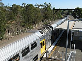
North Shore Line Station code MOC Suburb Mount Colah Street(s) Pacific Highway
Pierre CloseDistance from Central Station 37.66 km Altitude (above sea level) ? m Types of stopping trains Suburban all stops Number of platforms 2 Number of tracks 2 Platform arrangement 1 Island Type of station Ground Ticket barriers No Transfers available Bus Disabled access 
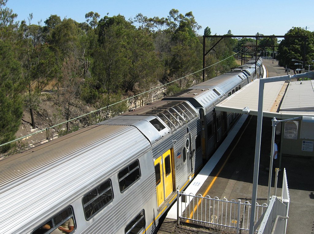
No Station facilities Link Mount Colah railway station is located on the Main North railway line in the northern Sydney suburb of Mount Colah. It is currently served by trains of CityRail's North Shore line. The station opened in 1887, [1] initially as Colah, renamed Mount Colah in 1906. Mount Colah has an island platform connected to the adjacent streets by a footbridge. Easy access for the mobility impaired is not presently available.
Contents
Platforms and services
The station is served by two trains per hour in each direction all day.
Platform Line Stopping Pattern Notes 
North Shore Line all stations and limited stops services to Hornsby and Central via Chatswood and on to the ■Western Line. some late night intercity trains 
North Shore Line all stations services to Berowra. some late night intercity trains Transport links
Shorelink runs a number of services via Mount Colah railway station:
- Route 592 - limited service to Brooklyn and Mooney Mooney
- Route 593 - south to Hornsby station, north to Parklands Road
- Route 595 - south to Hornsby station, north to Arthurs Circle
- Route 597 - south to Hornsby station, north to Berowra station and Berowra Heights
Trackplan
 Track arrangement
Neighbouring stations
Preceding station CityRail Following station towards Wyong or BerowraNorth Shore Line Asquithtowards CentralNorth Shore Line - Central
- Town Hall
- Wynyard
- Milsons Point
- North Sydney
- Waverton
- Wollstonecraft
- St Leonards
- Artarmon
- Chatswood
- Roseville
- Lindfield
- Killara
- Gordon
- Pymble
- Turramurra
- Warrawee
- Wahroonga
- Waitara
- Hornsby
- Asquith
- Mount Colah
- Mount Kuring-gai
- Berowra
- Cowan
- Hawkesbury River
- Woy Woy
- Point Clare
- Gosford
- Narara
- Niagara Park
- Lisarow
- Ourimbah
- Tuggerah
- Wyong
(stations in italics are under planning or under construction)CityRail LinesSuburban - Eastern Suburbs & Illawarra
- Bankstown
- Inner West
- Airport & East Hills
- South
- Cumberland
- Western
- North Shore
- Carlingford
- Olympic Park
- Northern
Interurban and regional - South Coast
- Southern Highlands
- Blue Mountains
- Newcastle & Central Coast
- Hunter
Coordinates: 33°40′19″S 151°06′52″E / 33.67199722°S 151.1145306°E
References
- ^ Mount Colah station NSWrail.net, accessed 14 March 2011.
Categories:- Railway stations in Sydney
- Railway stations opened in 1887
- Sydney rail transport stubs


Wikimedia Foundation. 2010.