- Mona Vale, New South Wales
-
Mona Vale
Sydney, New South Wales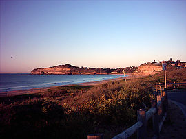
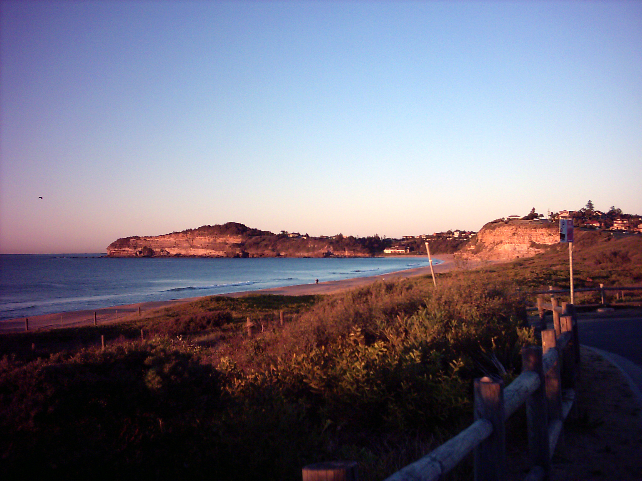
Mona Vale Beach facing southPopulation: 9281 (2001 census)[1] Postcode: 2103 Location: 28 km (17 mi) north of Sydney CBD LGA: Pittwater Council State District: Pittwater Federal Division: Mackellar Suburbs around Mona Vale: Bayview Newport Ingleside Mona Vale Tasman Sea Ingleside Warriewood Mona Vale is a suburb in northern Sydney, in the state of New South Wales, Australia. It is located 28 kilometres north of the Sydney central business district and is the administrative centre of the local government area of Pittwater Council. Mona Vale is also part of the Northern Beaches region.
Contents
History
The area was known as Bongin Bongin by Aborigines. The first land grants in the district of Pittwater were not made until the 23 April 1813. The land that now comprises Mona Vale was granted to Robert Campbell (1769-1846), and was surveyed in May 1814, and was originally part of 700 acres (2.8 km2) that extended from Mona Vale to the end of Newport beach.[2] Mona Vale in Scotland may have inspired Campbell’s choice of name for the area.[citation needed]
In 2005, Mona Vale became the administrative centre of Pittwater Council after the council chambers moved from Warriewood.
Landmarks
Mona Vale has two primary schools and a high school, a RSL club, a park, a public library, a golf course, a hospital, a skatepark, a bus depot, three supermarkets and a variety of shops. Mona Vale Hospital is the district hospital, whose maternity section is closed.
Mona Vale has a shallow beach (formerly known as "Bongin Bongin Beach") which has a children's and lap pool at its northern end, and the beach adjoins a golf course and beach reserves. There is a second beach north of this which is known as "The Basin".
Transport
Mona Vale is at the junction of two major roads in Sydney: Metroad 3 (Mona Vale Road) and Metroad 10 (Pittwater Road).
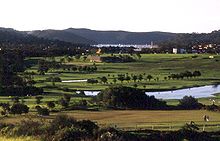 Mona Vale Golf Course in the late afternoon
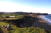 View north along shoreline
References
- The Book of Sydney Suburbs, Compiled by Frances Pollen, Angus & Robertson Publishers, 1990, Published in Australia ISBN 0-207-14495-8
- ^ Australian Bureau of Statistics (9 March 2006). "Mona Vale (State Suburb)". 2001 Census QuickStats. http://www.censusdata.abs.gov.au/ABSNavigation/prenav/LocationSearch?collection=Census&period=2001&areacode=SSC12586&producttype=QuickStats&breadcrumb=PL&action=401. Retrieved 2007-06-30.
- ^ Martin Burke The Father of Pittwater - page 53, By James J Macken, National Library of Australia
External links
- Mona Vale, New South Wales is at coordinates 33°40′33″S 151°18′24″E / 33.67596°S 151.30653°ECoordinates: 33°40′33″S 151°18′24″E / 33.67596°S 151.30653°E
- Mona Vale Hospital
Suburbs and Localities of Pittwater Council | Northern Beaches | Sydney Akuna Bay · Avalon · Barrenjoey · Bayview · Bilgola · Church Point · Clareville · Coasters Retreat · Currawong Beach · Elanora Heights · Elvina Bay · Great Mackerel Beach · Ingleside · Lovett Bay · Mona Vale · Narrabeen · North Narabeen · Newport · Palm Beach · Scotland Island · Taylors Point · The Basin · Towlers Bay · Warriewood · Whale Beach
List of Sydney suburbs Categories:- Suburbs of Sydney


Wikimedia Foundation. 2010.