- Belrose, New South Wales
Infobox Australian Place | type = suburb
name = Belrose
city = Sydney
state = nsw
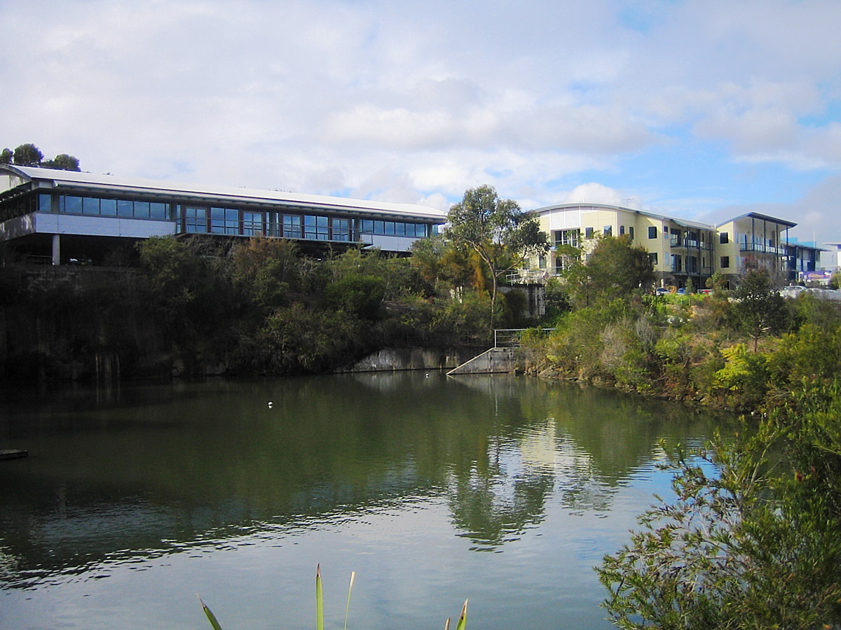
caption = Austlink Business Park
lga =Warringah Council
postcode = 2085
pop =
area =
propval =
stategov =
fedgov =
near-nw = Terrey Hills
near-n = Ingleside
near-ne = Elanora Heights
near-w = St Ives
near-e = Cromer Narrabeen
near-sw = Davidson
near-s = Frenchs Forest Forestville
near-se = Oxford Falls
dist1 = 19
dir1 = north-east
location1= Sydney CBDBelrose is a
suburb of northernSydney in the state ofNew South Wales ,Australia , 19kilometres north-east of theSydney central business district in the local government area ofWarringah Council , and is part of theNorthern Beaches region. Belrose is also considered to be part of the Forest District, colloquially known as "The Forest".History
The name "Belrose" is derived from the names of native flowers Christmas Bell and Native Rose. ['The Book of Sydney Suburbs", Compiled by Frances Pollon, Angus & Robertson Publishers, 1990, Published in Australia ISBN 0-207-14495-8 ]
Prior to the arrival of the
First Fleet inPort Jackson in1788 , the area was the home of the Guringai (Ku-ring-gai) language group of the Garigal Aboriginal clan. Evidence of their habitation remains today in the form of rock engravings, rock art, open campsites, rock shelters, scarred trees and middens.European exploration in the Warringah area began within the first weeks of settlement at
Sydney Cove in 1788. Governor Phillip made a number of journeys throughout the area, detailing the landscape, flora and fauna, and observing Aboriginal lifestyle and culture. Belrose was first settled in 1872. Although much development started afterWorld War 2 , Belrose remained semi-rural until the 1960s and 1970s.Commercial area
Belrose is primarily a
residential area, but contains the Austlink Business Park, two shopping centres including Glenrose, a theatre, and a library.Schools
*
Wakehurst Public School (established 1966).
* Belrose Public School (established 1952).
* Covenant Christian School (established 1978).Parks, sport and recreation
Garigal National Park andKu-ring-gai Chase National Park are on the northern border.Playing fields in Belrose include the Lionel Watts Oval, a sporting ground for children, and Frenchs Forest Showground, both on the border with Frenchs Forest. The local rugby league team is the Belrose Eagles, with teams from under 6 to opens.
References
External links
Wikimedia Foundation. 2010.