- Middle Cove, New South Wales
-
Middle Cove
Sydney, New South Wales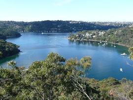
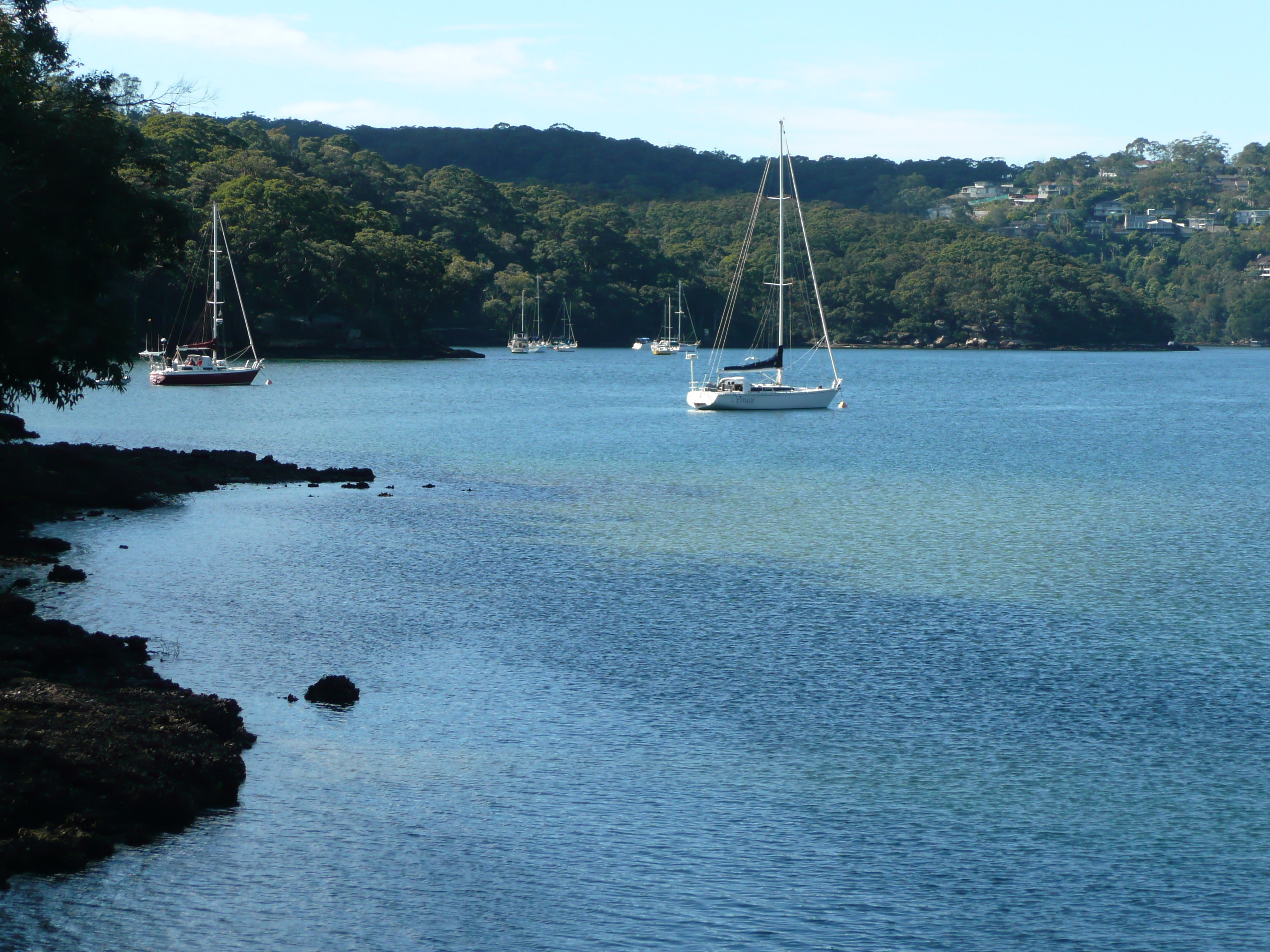
View of Sugarloaf Bay from Harold Reid ReservePopulation: 987 Established: 1958 Postcode: 2068 Area: 3.19 km² (1.2 sq mi) Location: 9 km (6 mi) from CBD LGA: City of Willoughby State District: Willoughby Federal Division: North Sydney Suburbs around Middle Cove: Roseville Castle Cove Castle Cove Chatswood Middle Cove Seaforth North Willoughby Castlecrag Castlecrag 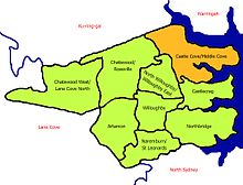 Willoughby Municipality
Middle Cove is a suburb on the Lower North Shore of Sydney, in the state of New South Wales, Australia. Middle Cove is located 7 kilometres north of the Sydney central business district, in the local government area of the City of Willoughby.
Middle Cove is bounded to the north, east and south by Middle Harbour and to the west by Eastern Valley Way. Middle Cove shares its postcode, 2068, with the surrounding suburbs of Castlecrag and Willoughby North.
Contents
History
Middle Cove takes its name from its location between two coves, Castle Cove and Crag Cove.[1] The suburb was undeveloped bushland until 1957 when Dick Dusseldorp bought most of the land from the NSW government and subdivided Middle Cove as we know it today. Dusseldorp was the founder and the largest share holder of Lend Lease, GPT and MLC. The Dusseldorp's lived in Middle Cove until the patriarch death in 2003. In 2004 the Dusseldorp's property was sold for a record $4.5 million dollars.
Aboriginal culture
Before European settlement, this area was populated by the Aboriginal tribe Cammeraygal, which lends its name to the nearby suburb of Cammeray. Governor Phillip in a dispatch of 1790 reported: "...About the north-west part of this harbour there is a tribe which is mentioned as being very powerful, either from their numbers or the abilities of their chief. This district is called Cammerra, the head of the tribe is named Cammerragal, by which name the men of that tribe are distinguished. Of these Bands, we know more about the Cammeraygals. They are recorded as being a very powerful people and by far the most numerous. They were also the most robust and muscular and had the extraordinary privilege of extracting a tooth from the natives of other Bands and Tribes inhabiting the sea-coast."
Commercial area
Middle Cove has a small shopping centre on Eastern Valley Way that features small businesses. however Middle Cove's proximity to Chatswood, makes the suburb one of the best serviced suburbs in Australia.
Parks
Harold Reid Reserve is a large park overlooking Sugarloaf Bay, and brings many visitors to the area. It is named in honour of Harold J. Reid (1896-1984), a town clerk for the Municipality of Willoughby for over 50 years. The park includes lookouts, walking trails and picnic facilities. It has also been declared a protected area for wildlife, which includes goannas, sugar gliders, buff-banded rails, swamp wallabies and eastern spinebills.
Transport
Bus routes through Middle Cove go via Castlecrag or Northbridge to Wynyard bus stop in the Sydney CBD include the 207, 202, 203, and the 208. A bus stop is located at the major intersection Eastern Valley Way. Middle Cove has bus services to Chatswood railway station which is on the North Shore line.
Gallery
-
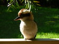
Kookaburra in North Arm Road
-
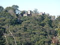
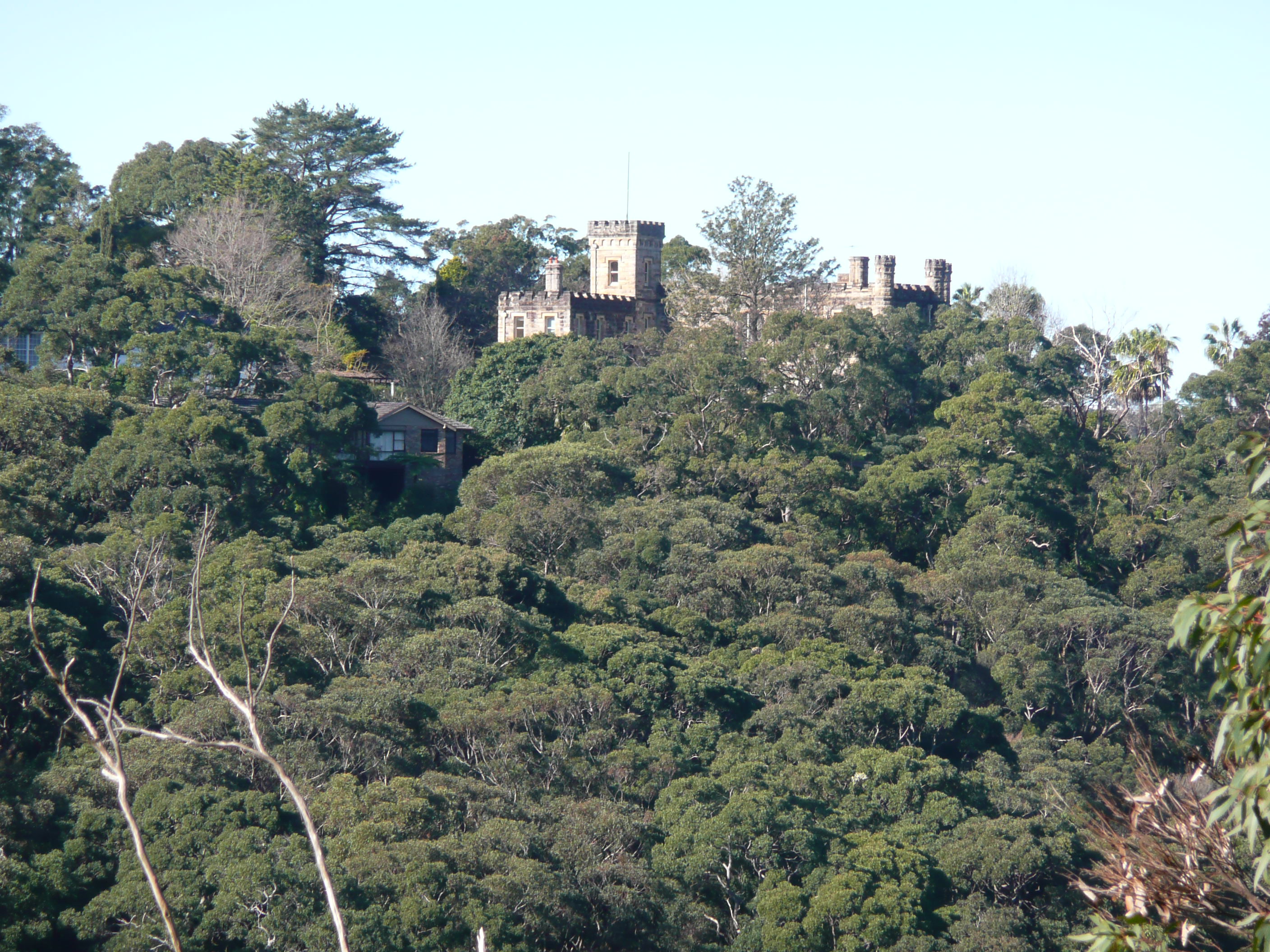
View of Innisfail Castle from North Arm Road
-
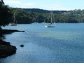
Sugarloaf Bay seen from Harold Reid Reserve
References
- ^ The Book of Sydney Suburbs, Compiled by Frances Pollon, Angus & Robertson Publishers, 1990, Published in Australia ISBN 0-207-14495-8
External links
- Middle Cove, New South Wales is at coordinates 33°47′38″S 151°12′31″E / 33.79383°S 151.20862°ECoordinates: 33°47′38″S 151°12′31″E / 33.79383°S 151.20862°E
- Castle Cove/Middle Cove, Willoughby City Council - community profile
Suburbs of City of Willoughby · North Shore · Sydney Artarmon · Castlecrag · Castle Cove · Chatswood · Gore Hill · Middle Cove · Naremburn · Northbridge · Roseville · St Leonards · WilloughbyList of Sydney suburbs Categories:- Suburbs of Sydney
- Sydney geography stubs
-


Wikimedia Foundation. 2010.