- Dundas Valley, New South Wales
-
Dundas Valley
Sydney, New South Wales
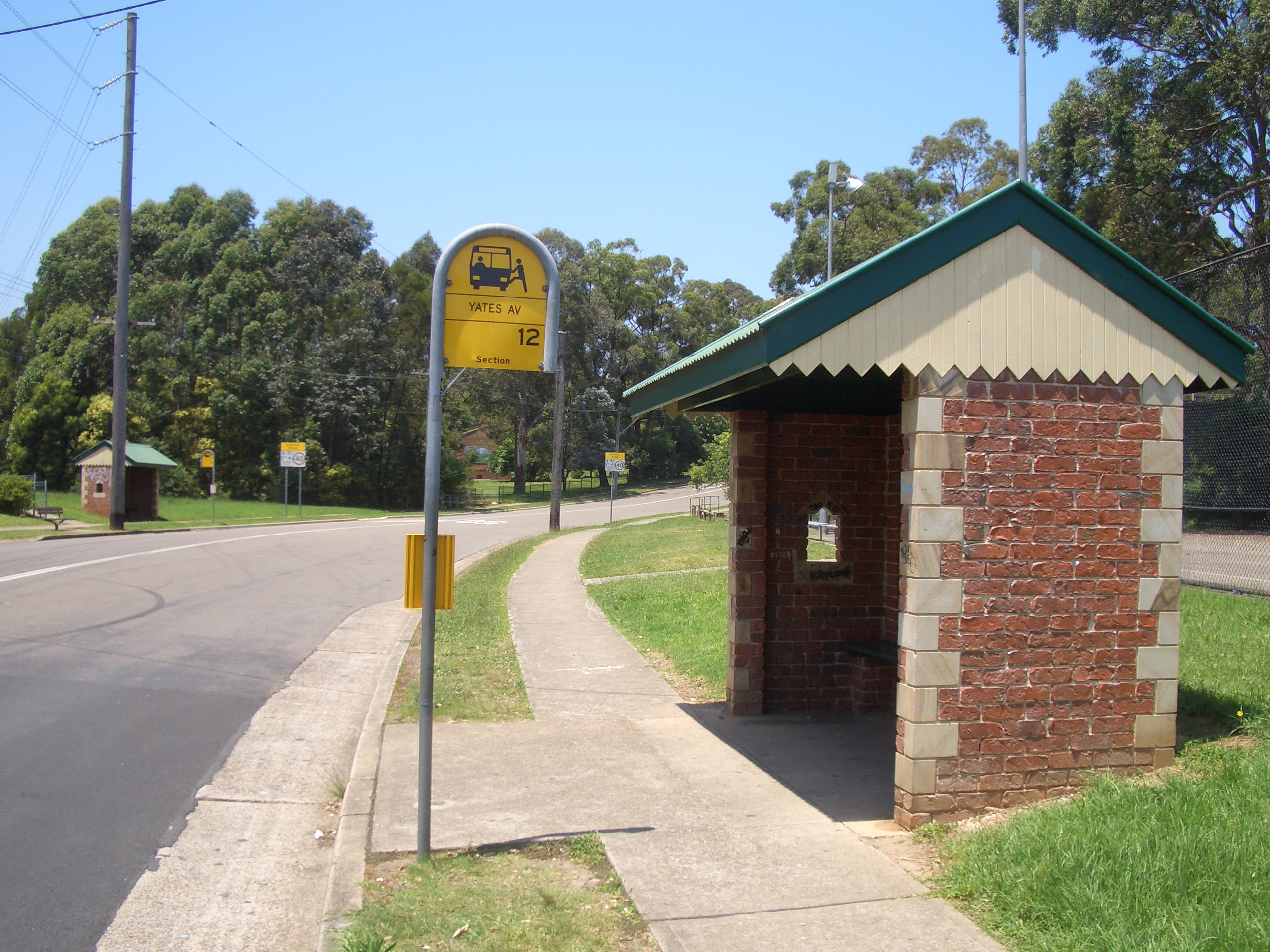
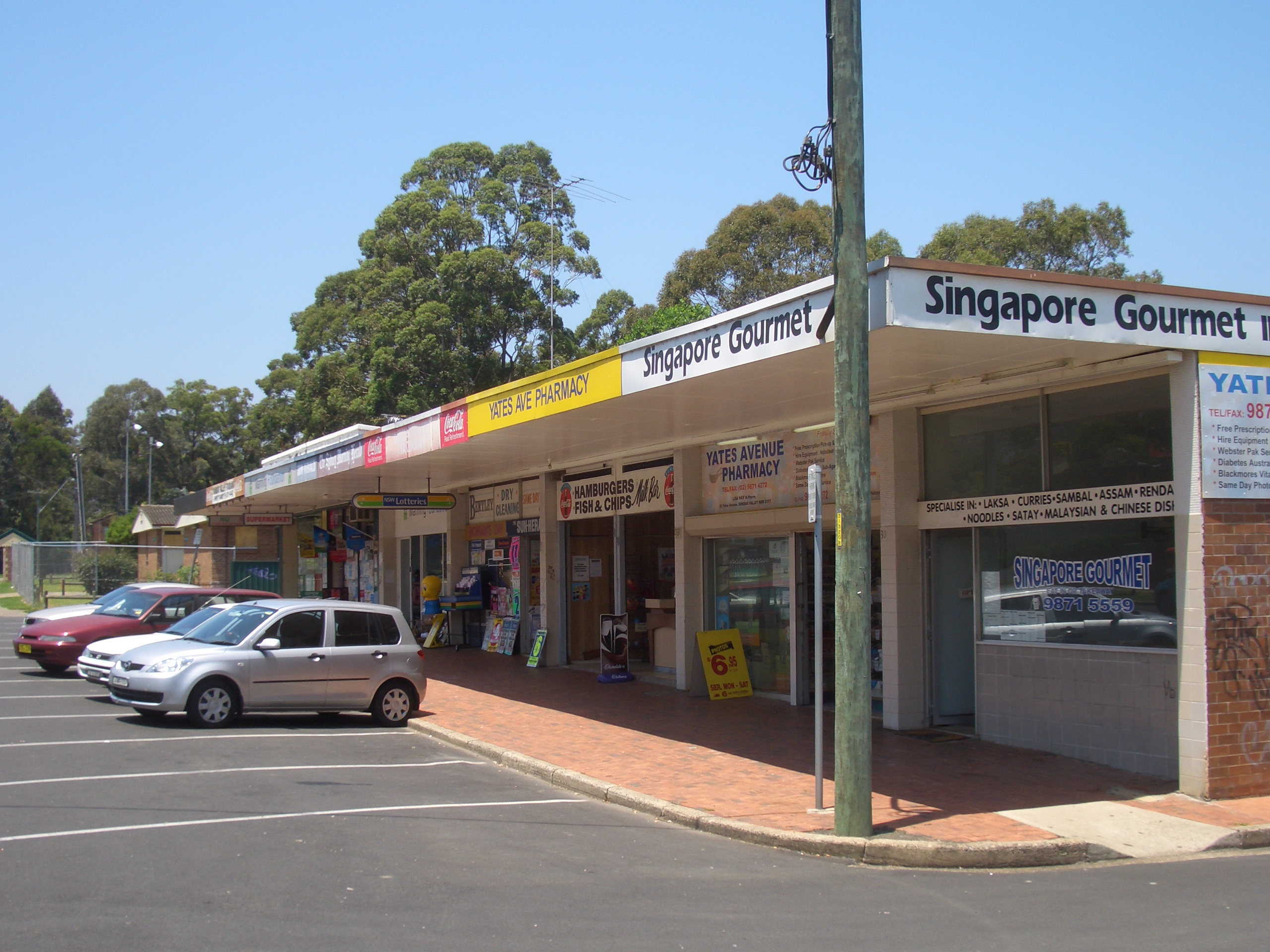
Bus stops on Yates AvenuePopulation: 6,251[1] Location: 21 km (13 mi) north-west of Sydney CBD LGA: City of Parramatta State District: Parramatta Federal Division: Parramatta Suburbs around Dundas Valley: Carlingford Carlingford Epping Telopea Dundas Valley Eastwood Dundas Dundas Ermington 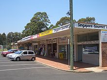 Dundas Valley shops
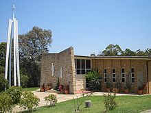 St Bernadettes Catholic Church
Dundas Valley is a suburb of Sydney, in the state of New South Wales, Australia. Dundas Valley is located 21 kilometres north-west of the Sydney central business district in the local government area of the City of Parramatta.
The valley has been shaped by the Ponds Creek, around which many of the area's parks are located. The valley is bounded by both steep and gentle slopes feeding into the creek. The Ponds walk is a marked 6.6 kilometre track which follows the Ponds and Subiaco Creeks from Eric Mobbs Memorial Park in Carlingford to Jim Crowgey Reserve in Rydalmere. This walk follows a number of the parks in the Dundas Valley area.[2]
Contents
History
Dundas and surrounding areas were originally known as "The Ponds", a name still reflected in The Ponds Creek. The first private land grants in Sydney made in 1791 were in what is now North East Dundas and adjoining Dundas Valley and Ermington. This consisted of land grants to 14 former convicts and their families along the Ponds and Subiaco Creeks.
Parramatta City Council has erected signs in the suburb documenting the initial land grants in the area. One subsequent grant was the 30 acre Lot 108 to John Love, a member of the NSW Corps, on 20 February 1794.[3]In the early 1800's a number of the early settlers sold their grants to Lieutenant William Cox of the NSW Corps. Cox's holdings spread from Brush Farm into Dundas Valley where he grazed sheep and cattle and grew corn and wheat. Gregory Blaxland purchased Brush Farm in 1806.
The name Dundas was first used in the area in 1799, taken from a parish of the same name in England, although it is also claimed the area was initially named after Henry Dundas, 1st Viscount Melville.[4] [5]
The area was developed during the 1950s and 1960s with the construction of public housing.[6]
Dundas Valley was formally declared a suburb on 19 October 2007. [7]
Thomas Mitchell openend a quarry in 1832 on the site of the park that now bears his name. The quarry was a supplier of ‘blue metal’, used in road construction, into the 20th century. The 'blue metal' was quarried by convicts and carried to Ermington Wharf where it was ferried to Sydney.
The quarry exposed a large volcanic formation between 200 and 250 million years old.[8] Due to the geological significance of the area, it was visited by a number of famous scientists, including Charles Darwin and Douglas Mawson.[9]A number of streets in Dundas Valley are named after ships of the First Fleet (Sirius, Supply, Alexander, Charlotte and Friendship) and the Second Fleet (Neptune).[10]
Schools
Yates Avenue Public School[11]
St Bernadettes Primary School (Catholic)[12]Commercial area
Dundas Valley has a small shopping centre in Yates Avenue, beside Curtis Oval.
Churches
St Bernadettes Catholic Church
Dundas Valley Uniting Church
Faith Baptist Church- The local Anglican Church meets in Telopea on Saturday evenings and at Dundas on Sundays.[13]
Parks
Sir Thomas Mitchell Reserve and Dundas Park, also known as Curtis Oval, host local club football (soccer), rugby union and cricket matches. Both parks also have recently upgraded play equipment for children. Dundas Park covers 6.5 hectares and also boasts two playgrounds, picnic & BBQ facilities and a Boy Scout and Girl Guides Hall. Curtis Oval has a dedicated bicycle and walking track.[14]
Sir Thomas Mitchell Reserve covers 3.9 hectares and is on the site of an old quarry.[15]
There are also a number of smaller parks in the suburb, including Lachlan Macquarie Park which features a netball court.Sport and Recreation
The Viking Club on Quarry Road is a registered club run by Parramatta Leagues Club.[16]
The Dundas United Recreation Club, based at Curtis Oval, fields teams in cricket, football (Soccer) and netball catering for players aged from Under 6 to adult (including Over 35 football).[17]References
- ^ Australian Bureau of Statistics, 2006
- ^ "The Ponds Walk" (pdf). Parramatta City Council. http://www.parracity.nsw.gov.au/__data/assets/pdf_file/0003/41862/PondsWalkBrochure.pdf. Retrieved 2010-11-02.
- ^ "James O'Brien - The Ponds". James O'Brien. 2008-05-31. http://jamesobrien.id.au/2008/05/31/the-ponds/. Retrieved 2010-09-30.
- ^ "The Ponds Walk" (pdf). Parramatta City Council. http://www.parracity.nsw.gov.au/__data/assets/pdf_file/0003/41862/PondsWalkBrochure.pdf. Retrieved 2010-11-02.
- ^ "Geographical Names Register Extract - Reference:16784". Geographical Names Board of New South Wales. http://www.gnb.nsw.gov.au/name_search/extract?id=JPlpXtsyuj. Retrieved 2007-03-08.
- ^ "Dundas Valley Suburb Profile" (pdf). Parramatta City Council. http://www.dreamingparramatta.com.au/pdf/SuburbProfileDundas%20Valley.pdf. Retrieved 2010-02-11.
- ^ "Geographical Names Register Extract - Reference:16790". Geographical Names Board of New South Wales. http://www.gnb.nsw.gov.au/name_search/extract?id=JPlpXtxOGH. Retrieved 2010-09-30.
- ^ "Sir Thomas Mitchell Reserve". Parramatta City Council. http://www.parracity.nsw.gov.au/culture__and__leisure/recreation/parks_and_reserves2/sir_thomas_mitchell_reserve. Retrieved 2010-30-09.
- ^ "The Ponds Walk" (pdf). Parramatta City Council. http://www.parracity.nsw.gov.au/__data/assets/pdf_file/0003/41862/PondsWalkBrochure.pdf. Retrieved 2010-11-02.
- ^ "Map of Dundas Valley". Whereis.com. http://www.whereis.com/nsw/dundas-valley/. Retrieved 20/08/2010.
- ^ "Yates Avenue Public School Dundas Valley". http://www.yatesave-p.schools.nsw.edu.au/. Retrieved 20/08/2010.
- ^ "St. Bernadettes Dundas Valley". http://www.stbernadettesdundas.catholic.edu.au/. Retrieved 20/08/2010.
- ^ "Dundas Telopea Anglican Church". http://dundasanglican.com.au/.
- ^ "Curtis Oval". Parramatta City Council. http://www.parracity.nsw.gov.au/culture__and__leisure/recreation/parks_and_reserves2/dundas_park. Retrieved 2010-30-09.
- ^ "Sir Thomas Mitchell Reserve". Parramatta City Council. http://www.parracity.nsw.gov.au/culture__and__leisure/recreation/parks_and_reserves2/sir_thomas_mitchell_reserve. Retrieved 2010-30-09.
- ^ "The Viking Club". Parramatta Leagues Club. http://www.parraleagues.com.au/default.aspx?id=35/. Retrieved 20/8/2010.
- ^ "Dundas United Recreation Club". http://www.durc.com.au/. Retrieved 20/8/2010.
External links
- Dundas Valley, New South Wales is at coordinates 33°47′35″S 151°03′36″E / 33.79312°S 151.05999°ECoordinates: 33°47′35″S 151°03′36″E / 33.79312°S 151.05999°E
Suburbs and localities within the City of Parramatta · Western Sydney · Sydney Camellia · Carlingford · Chester Hill · Clyde · Constitution Hill · Dundas · Dundas Valley · Eastwood · Epping · Ermington · Granville · Harris Park · Model Farms · Northmead · Oatlands · Old Toongabbie · Parramatta · North Parramatta · Pendle Hill · Rosehill · Rydalmere · South Granville · Telopea · Toongabbie · Winston Hills · Wentworthville · Westmead
Categories:- Suburbs of Sydney

Wikimedia Foundation. 2010.