- Normal Station, Memphis
-
Normal Station Historic District
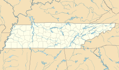

Location: Roughly bounded by Highland, Goodlett, Southern RR, and rear property lines of Marion and parcels on Park, Memphis, Tennessee Coordinates: 35°5′49″N 89°55′57″W / 35.09694°N 89.9325°WCoordinates: 35°5′49″N 89°55′57″W / 35.09694°N 89.9325°W Area: 390 acres (160 ha) Architect: Goodwin, John; Johnson, Wallace, et al. Architectural style: Colonial Revival, Bungalow/Craftsman, et al. Governing body: Private MPS: Memphis MPSMemphis MPSMemphis MPS NRHP Reference#: 05000866
[1]Added to NRHP: August 10, 2005 Normal Station is a neighborhood in East Memphis, Tennessee, anchored by the University of Memphis, formerly Memphis State University, and originally called West Tennessee State Normal School. It is bordered by the University of Memphis to the north, Audubon Park to the east, Park Avenue and the Sherwood Forest neighborhood to the south, and Highland Street to the west. The athletic department, student fitness center, and south parking lots of the University of Memphis are located in this neighborhood. Because of the proximity to the University, a large proportion of the neighborhood population are students and faculty. Most of the homes in this neighborhood are one-story single-family homes and duplexes built after World War II, but there are small apartment complexes and some larger, older homes interspersed within. The neighborhood is located in ZIP code 38111.
History
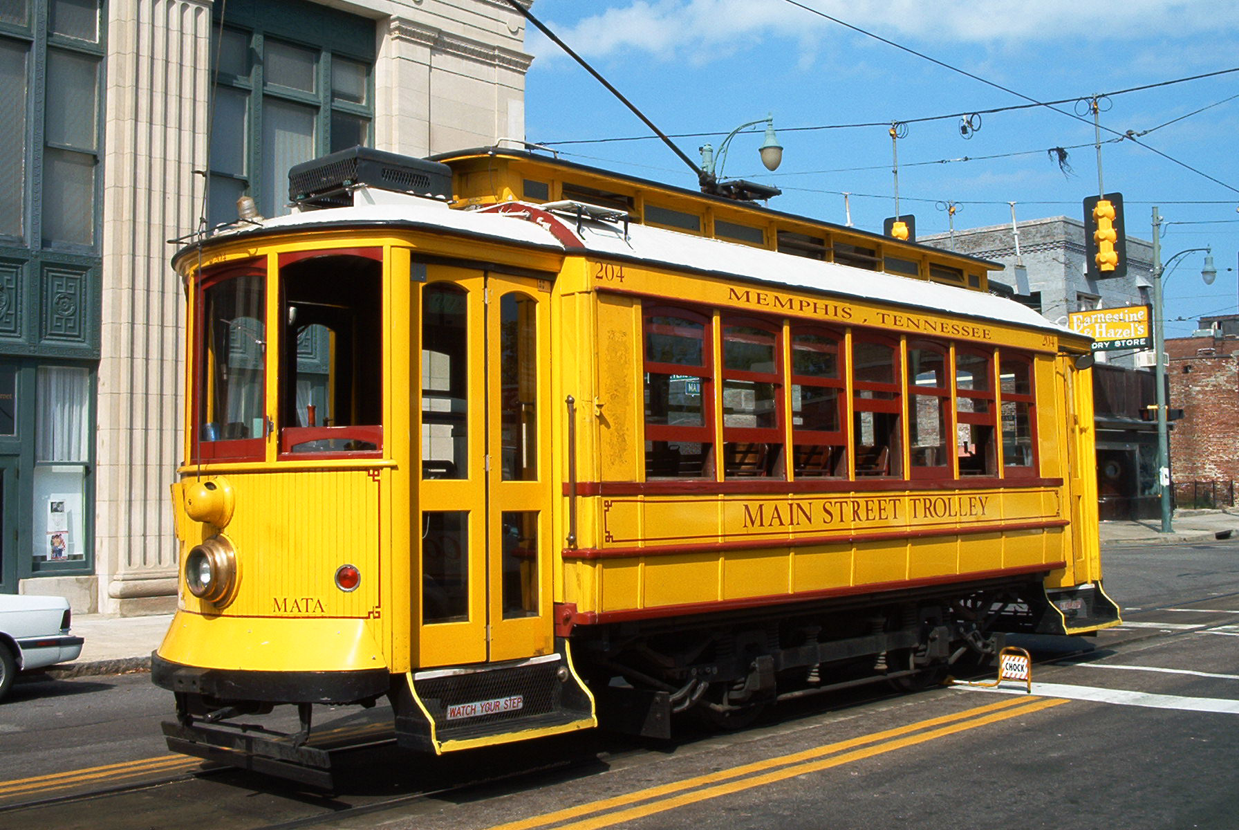
Earlier in the twentieth century, there was a train station for the Southern Railroad near what is now the intersection of Highland Street and Southern Avenue. By 1956, the train station in present-day Normal Station did not exist. The Normal Station was the end of the line and the engineer would get out of the trolley and turn it around at Normal Station.
As was common in the outlying areas around Memphis, neighborhoods and small towns got their names from land owners, landmarks and railway stations. The custom is also seen today in areas such as Buntyn Station, White Station, and Bray Station, among many others.
References
- ^ "National Register Information System". National Register of Historic Places. National Park Service. 2009-03-13. http://nrhp.focus.nps.gov/natreg/docs/All_Data.html.
U.S. National Register of Historic Places Topics Lists by states Alabama • Alaska • Arizona • Arkansas • California • Colorado • Connecticut • Delaware • Florida • Georgia • Hawaii • Idaho • Illinois • Indiana • Iowa • Kansas • Kentucky • Louisiana • Maine • Maryland • Massachusetts • Michigan • Minnesota • Mississippi • Missouri • Montana • Nebraska • Nevada • New Hampshire • New Jersey • New Mexico • New York • North Carolina • North Dakota • Ohio • Oklahoma • Oregon • Pennsylvania • Rhode Island • South Carolina • South Dakota • Tennessee • Texas • Utah • Vermont • Virginia • Washington • West Virginia • Wisconsin • WyomingLists by territories Lists by associated states Other Categories:- Historic districts in Tennessee
- Houses on the National Register of Historic Places in Tennessee
- Colonial Revival architecture
- Tennessee Registered Historic Place stubs
- Neighborhoods in Memphis, Tennessee
- Tennessee geography stubs


Wikimedia Foundation. 2010.