- Cochituate, Massachusetts
-
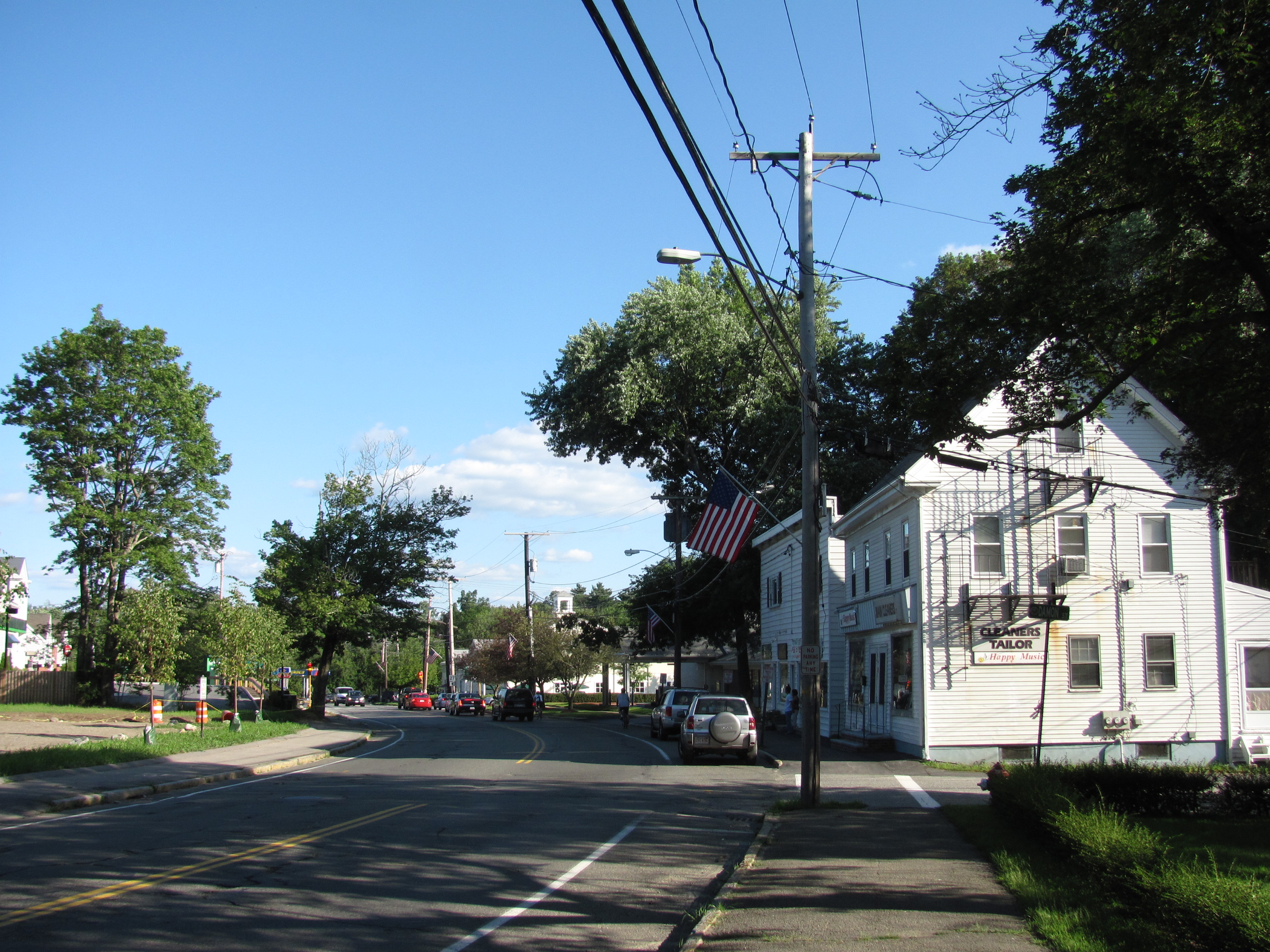
Cochituate, Massachusetts — CDP — Main Street
Coordinates: 42°19′40″N 71°21′37″W / 42.32778°N 71.36028°WCoordinates: 42°19′40″N 71°21′37″W / 42.32778°N 71.36028°W Country United States State Massachusetts County Middlesex Area - Total 4.2 sq mi (10.8 km2) - Land 3.8 sq mi (9.9 km2) - Water 0.3 sq mi (0.8 km2) Elevation 174 ft (53 m) Population (2000) - Total 6,768 - Density 1,765.6/sq mi (681.7/km2) Time zone Eastern (EST) (UTC-5) - Summer (DST) EDT (UTC-4) ZIP code 01778 Area code(s) 508 FIPS code 25-14570 GNIS feature ID 0611909 Cochituate (
 /koʊˈtʃɪtʃuːɪt/) is a census-designated place (CDP) in the town of Wayland in Middlesex County, Massachusetts, United States. The population was 6,768 at the 2000 census.
Geography
Cochituate is located at 42°19′40″N 71°21′37″W / 42.32778°N 71.36028°W (42.327672, -71.360236)[1].
According to the United States Census Bureau, the CDP has a total area of 10.8 km² (4.2 mi²). 9.9 km² (3.8 mi²) of it is land and 0.8 km² (0.3 mi²) of it (7.69%) is water.
Located in the Cochituate region is Lake Cochituate, part of Cochituate State Park. In 2005, a severe thunderstorm occurred that produced a violent microburst that knocked down dozens of trees and injured some visitors.[2]
Dudley Pond is also located in Cochituate. It is used by residents year round; in the summer for boating and fishing, and in the winter for ice fishing.[3]
Demographics
As of the census[4] of 2000, there were 6,768 people, 2,449 households, and 1,851 families residing in the CDP. The population density was 682.3/km² (1,765.6/mi²). There were 2,516 housing units at an average density of 253.6/km² (656.4/mi²). The racial makeup of the CDP was 90.90% White, 0.93% Black or African American, 0.09% Native American, 6.24% Asian, 0.06% Pacific Islander, 0.24% from other races, and 1.55% from two or more races. Hispanic or Latino of any race were 1.00% of the population.
There were 2,449 households out of which 38.5% had children under the age of 18 living with them, 64.9% were married couples living together, 8.5% had a female householder with no husband present, and 24.4% were non-families. 19.7% of all households were made up of individuals and 9.0% had someone living alone who was 65 years of age or older. The average household size was 2.70 and the average family size was 3.14.
In the CDP the population was spread out with 27.2% under the age of 18, 3.5% from 18 to 24, 25.5% from 25 to 44, 27.8% from 45 to 64, and 16.0% who were 65 years of age or older. The median age was 42 years. For every 100 females there were 91.3 males. For every 100 females age 18 and over, there were 85.8 males.
The median income for a household in the CDP was $89,012, and the median income for a family was $101,362. Males had a median income of $71,500 versus $50,223 for females. The per capita income for the CDP was $42,752. About 1.8% of families and 2.2% of the population were below the poverty line, including 1.1% of those under age 18 and 4.3% of those age 65 or over.
References
- ^ "US Gazetteer files: 2010, 2000, and 1990". United States Census Bureau. 2011-02-12. http://www.census.gov/geo/www/gazetteer/gazette.html. Retrieved 2011-04-23.
- ^ "Stewardship Council Meeting". Department of Conservation and Recreation. 2005-08-26. http://www.mass.gov/dcr/documents/scminutes8-26-05.doc. Retrieved 2011-05-23.
- ^ "Recreation". Dudley Pond Association. http://www.dudleypond.org/fun.htm. Retrieved 2011-05-23.
- ^ "American FactFinder". United States Census Bureau. http://factfinder.census.gov. Retrieved 2008-01-31.
Municipalities and communities of Middlesex County, Massachusetts Cities 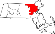
Towns Acton | Arlington | Ashby | Ashland | Ayer | Bedford | Belmont | Billerica | Boxborough | Burlington | Carlisle | Chelmsford | Concord | Dracut | Dunstable | Framingham | Groton | Holliston | Hopkinton | Hudson | Lexington | Lincoln | Littleton | Maynard | Natick | North Reading | Pepperell | Reading | Sherborn | Shirley | Stoneham | Stow | Sudbury | Tewksbury | Townsend | Tyngsborough | Wakefield | Wayland | Westford | Weston | Wilmington | Winchester
CDPs Ayer | Cochituate | Fort Devens | East Pepperell | Groton | Hopkinton | Hudson | Littleton Common | Pepperell | Pinehurst | Shirley | Townsend | West Concord
Other
villagesAuburndale | Chestnut Hill | Gleasondale | Nabnasset | Newton Centre | Newton Highlands | Newton Lower Falls | Newton Upper Falls | Newtonville | Nonantum | North Billerica | North Chelmsford | Waban | West Newton
Categories:- Census-designated places in Middlesex County, Massachusetts

Wikimedia Foundation. 2010.