- Tyngsborough, Massachusetts
Infobox Settlement
official_name = Tyngsborough, Massachusetts
nickname =
motto =
imagesize =
image_caption =
image_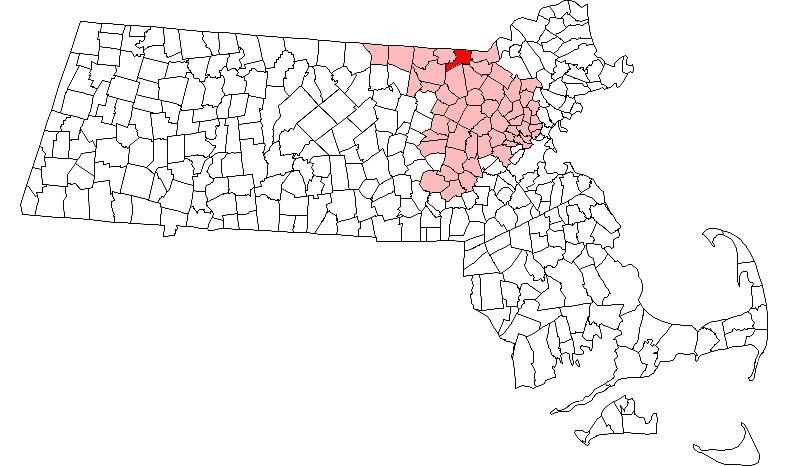
mapsize = 250px
map_caption = Location in Middlesex County in Massachusetts
mapsize1 =
map_caption1 =
subdivision_type = Country
subdivision_name =United States
subdivision_type1 = State
subdivision_name1 =Massachusetts
subdivision_type2 = County
subdivision_name2 = Middlesex
established_title = Settled
established_date = 1661
established_title2 = Incorporated
established_date2 = 1809
established_title3 =
established_date3 =
government_type =Open town meeting
leader_title =
leader_name =
leader_title1 =
leader_name1 =
area_magnitude =
area_total_km2 = 46.7
area_total_sq_mi = 18.1
area_land_km2 = 43.7
area_land_sq_mi = 16.9
area_water_km2 = 3.1
area_water_sq_mi = 1.2
population_as_of = 2007
settlement_type = Town
population_total = 11,860
population_density_km2 = 271.4
population_density_sq_mi = 701.8
elevation_m = 47
timezone = Eastern
utc_offset = -5
timezone_DST = Eastern
utc_offset_DST = -4
elevation_ft = 154
latd = 42 |latm = 40 |lats = 18 |latNS = N
longd = 71 |longm = 25 |longs = 1 |longEW = W
website = http://www.tyngsboroughmass.com/
postal_code_type = ZIP code
postal_code = 01879
area_code = 351 / 978
blank_name = FIPS code
blank_info = 25-71025
blank1_name = GNIS feature ID
blank1_info = 0618240
footnotes =Tyngsborough (also spelled Tyngsboro and rhymes with KINGS-burro) is a town located in the northwest section of
Middlesex County, Massachusetts . Composed of 17.86 square miles of land and surface water, Tyngsborough borders the towns of Dunstable, Groton, Westford, Chelmsford, Dracut, and the City of Lowell, as well as theNew Hampshire communities of Hudson, Pelham, and the City of Nashua. Tyngsborough is under 40 miles fromBoston along the recently widened Route 3 corridor. The town calls itself 'The Gateway to the White Mountains' of New Hampshire, which is the source of theMerrimack River that bisects the town. As of the 2000 census, the town population was 11,081 but has experienced a tremendous burst in residential construction in the last 20 years as part ofGreater Boston .History
, Tyngsborough became a town.
After Tyngsborough was incorporated it became known for its ferries which travelled up and down the
Merrimack River , the quarries that producedgranite , and several box companies that started in town. As the town developed, Tyngsborough became a vacation community and had a large seasonal resident population even up until the late 1960s. Today, Tyngsborough is primarily abedroom community , part ofGreater Lowell and theNashua, New Hampshire region, as well as being an easy commute to the Boston area. The town is probably best known today for its green painted single-arched iron bridge over the Merrimack. Constructed in the early 1930s as a replacement for an earlier wooden planked structure, this bridge has become the town's emblem, and more practically, a major river crossing for residents ofMassachusetts andNew Hampshire alike. Having fallen into serious disrepair, the green bridge has been replaced by a temporary structure while work is done to restore the former.Sports
Tyngsborough is a very competitive high school when it comes to
sports .Tyngsborough High School has just entered a new and difficult league called the Dual County League. In Football, they are Division 1A and had a transition year in2007 with a 5-6 record. In Hockey, they went to the playoffs in 2007 but lost toLowell 3-1 in the state quarter finals. The Girls Cross Country team won the MIAA Eastern Mass Cross Country Division IV Championship in November of 2003.Geography
According to the
United States Census Bureau , the town has a total area of 18.0square mile s (46.7km² ), of which, 16.9 square miles (43.7 km²) of it is land and 1.2 square miles (3.1 km²) of it (6.65%) is water. Besides a series of lakes and ponds that spot Tyngsborough the town is split in two by the Merrimack River which runs roughly north-south close to the center of town. The land is mostly rolling hills, small cleared fields, and quite a bit of wooded land. Marshlands can also be found in the area although they are not as prevalent as in the surrounding towns.Demographics
As of the
census GR|2 of 2000, there were 11,081 people, 3,731 households, and 2,947 families residing in the town. Thepopulation density was 657.4 people per square mile (253.8/km²). There were 3,806 housing units at an average density of 225.8/sq mi (87.2/km²). The racial makeup of the town was 95.63% White, 0.50% African American, 0.23% Native American, 2.48% Asian, 0.04% Pacific Islander, 0.14% from other races, and 0.99% from two or more races. Hispanic or Latino of any race were 1.11% of the population.There were 3,731 households out of which 44.6% had children under the age of 18 living with them, 67.5% were married couples living together, 8.5% had a female householder with no husband present, and 21.0% were non-families. 16.1% of all households were made up of individuals and 4.9% had someone living alone who was 65 years of age or older. The average household size was 2.97 and the average family size was 3.37.
In the town the population was spread out with 30.3% under the age of 18, 5.7% from 18 to 24, 35.7% from 25 to 44, 21.6% from 45 to 64, and 6.6% who were 65 years of age or older. The median age was 35 years. For every 100 females there were 97.5 males. For every 100 females age 18 and over, there were 94.5 males.
The median income for a household in the town was $69,818, and the median income for a family was $78,680. Males had a median income of $46,942 versus $33,396 for females. The
per capita income for the town was $27,249. About 4.0% of families and 4.7% of the population were below thepoverty line , including 6.2% of those under age 18 and 5.6% of those age 65 or over.References
Further reading
* [http://www.salemdeeds.com/atlases_results.asp?ImageType=index&atlastype=MassWorld&atlastown=&atlas=MASSACHUSETTS+1871&atlas_desc=MASSACHUSETTS+1871 "1871 Atlas of Massachusetts".] by Wall & Gray. [http://www.salemdeeds.com/atlases_pages.asp?ImageName=PAGE_0010_0011.jpg&atlastype=MassWorld&atlastown=&atlas=MASSACHUSETTS+1871&atlas_desc=MASSACHUSETTS+1871&pageprefix= Map of Massachusetts.] [http://www.salemdeeds.com/atlases_pages.asp?ImageName=PAGE_0044_0045.jpg&atlastype=MassWorld&atlastown=&atlas=MASSACHUSETTS+1871&atlas_desc=MASSACHUSETTS+1871&pageprefix= Map of Middlesex County.]
* "History of Middlesex County, Massachusetts", [http://books.google.com/books?id=QGolOAyd9RMC&dq=intitle:History+intitle:of+intitle:Middlesex+intitle:County+intitle:Massachusetts&lr=&num=50&as_brr=0&source=gbs_other_versions_sidebar_s&cad=5 Volume 1 (A-H)] , [http://books.google.com/books?id=hNaAnwRMedUC&pg=PA506&dq=intitle:History+intitle:of+intitle:Middlesex+intitle:County+intitle:Massachusetts&lr=&num=50&as_brr=0#PPA3,M1 Volume 2 (L-W)] compiled by Samuel Adams Drake, published 1879-1880. 572 and 505 pages. [http://books.google.com/books?id=hNaAnwRMedUC&pg=PA506&dq=History+of+Middlesex+County,+Massachusetts#PPA391,M1 Tyngsborough article] by Rev. Elias Nason in volume 2 pages 391-399.External links
* [http://www.tyngsboroughmass.com/ Tyngsborough official website]
* [http://www.lowellsun.com/ "The Lowell Sun" (Newspaper) website]
* [http://www.mma.org/ Massachusetts Municipal Association website]
* [http://www.tyngsborough200.com/ Tyngsborough official bicentenial website]
* [http://www.tyngsboroughps.org/ Tyngsborough Public Schools website]
* [http://www.tynglib.org/ Tyngsborough Public Library]
Wikimedia Foundation. 2010.