- Pepperell, Massachusetts
:"This article is about the town of Pepperell.":"For the
census-designated place Pepperell, please see the article Pepperell (CDP),Massachusetts .Infobox Settlement
official_name = Pepperell, Massachusetts
nickname =
motto =
imagesize = 250px
image_caption = "Lawrence Memorial Library" in 1923, Pepperell, MA
image_
mapsize = 250px
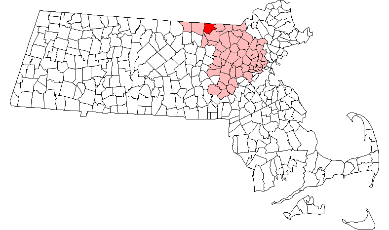
map_caption = Location in Middlesex County in Massachusetts
mapsize1 =
map_caption1 =
subdivision_type = Country
subdivision_name =United States
subdivision_type1 = State
subdivision_name1 =Massachusetts
subdivision_type2 = County
subdivision_name2 = Middlesex
established_title = Settled
established_date = 1720
established_title2 = Incorporated
established_date2 = 1775
established_title3 =
established_date3 =
government_type =Open town meeting
leader_title =
leader_name =
leader_title1 =
leader_name1 =
area_magnitude =
area_total_km2 = 60.0
area_total_sq_mi = 23.2
area_land_km2 = 58.4
area_land_sq_mi = 22.6
area_water_km2 = 1.6
area_water_sq_mi = 0.6
population_as_of = 2007
settlement_type = Town
population_total = 11,409
population_density_km2 = 195.4
population_density_sq_mi = 504.8
elevation_m = 74
elevation_ft = 244
timezone = Eastern
utc_offset = -5
timezone_DST = Eastern
utc_offset_DST = -4
latd = 42 |latm = 39 |lats = 57 |latNS = N
longd = 71 |longm = 35 |longs = 20 |longEW = W
website = http://www.town.pepperell.ma.us/
postal_code_type = ZIP code
postal_code = 01463
area_code = 351 / 978
blank_name = FIPS code
blank_info = 25-52805
blank1_name = GNIS feature ID
blank1_info = 0618231
footnotes =Pepperell is a town in Middlesex County,
Massachusetts ,United States . The population was 11,142 at the 2000 census.It is currently about 15,000 people.History
Pepperell was first settled in 1720 and was officially incorporated in 1775. The founders named Pepperell after Sir William Pepperell.
The well-known Chester H. Waterous Bridge is the only
covered bridge in the state that is still open to vehicular traffic. Bridge is currently under construction. The bridge was closed to vehicles on April 7, 2008 and demolition began on July 30, 2008. The new covered bridge is scheduled to be completed by the end of 2009.Places of Importance
*Doc Davis' Ice cream
*C & S Pizza
*Lawrence Public Library
*Nissitissit River (known for fly fishing)
*Nashua River
*Town Conservation land
*Pepperell Skydive Center
*Pepperell Legion
*VFWGeography
According to the
United States Census Bureau , the town has a total area of 23.2square mile s (60.0km² ), of which, 22.6 square miles (58.4 km²) of it is land and 0.6 square miles (1.6 km²) of it (2.63%) is water. According to the "Pepperell Reader", the town is situated on a long extinct volcano that helped shape much of New England's geology.Demographics
As of the
census GR|2 of 2000, there were 11,142 people, 3,847 households, and 3,016 families residing in the town. Thepopulation density was 493.8 people per square mile (190.7/km²). There were 3,917 housing units at an average density of 173.6/sq mi (67.0/km²). The racial makeup of the town was 87.16% White, 10.47% Black or African American, 0.13% Native American, 0.72% Asian, 0.33% from other races, and 1.19% from two or more races. Hispanic or Latino of any race were 1.02% of the population.There were 3,847 households out of which 44.2% had children under the age of 18 living with them, 65.5% were married couples living together, 9.6% had a female householder with no husband present, and 21.6% were non-families. 17.4% of all households were made up of individuals and 6.0% had someone living alone who was 65 years of age or older. The average household size was 2.89 and the average family size was 3.29.
In the town the population was spread out with 30.6% under the age of 18, 6.1% from 18 to 24, 33.0% from 25 to 44, 22.7% from 45 to 64, and 7.5% who were 65 years of age or older. The median age was 35 years. For every 100 females there were 96.8 males. For every 100 females age 18 and over, there were 93.6 males.
The median income for a household in the town was $65,163, and the median income for a family was $73,967. Males had a median income of $49,625 versus $34,983 for females. The
per capita income for the town was $25,722. About 2.0% of families and 3.7% of the population were below thepoverty line , including 2.8% of those under age 18 and 8.0% of those age 65 or over.Education
Pepperell is a part of the
North Middlesex Regional School District , which administers the public schools, except for theNashoba Valley Technical High School . The other two towns in the district, Townsend and Ashby, also have local elementary schools, but all three towns share the North Middlesex Regional High School. [ [http://www.town.pepperell.ma.us/Services/schools.html Pepperell Public Schools] ]Recreation
*TAP basketball
*Basketball Courts
*Little League Baseball [http://eteamz.active.com/pepperellll/index.cfm]
*North Middlesex Pop Warner Football [http://eteamz.active.com/NMPW/]
*Pepperell Youth Soccer [http://www.pysl.org/]
*Skate Park
*Rail Trail (Bicycling)
*North Middlesex Youth Lacrosse
*Swimming TeamNotable residents
*
Henry Adams Bullard , formerU.S. Representative fromLouisiana
*John Wesley Emerson founder ofEmerson Electric Company
* Colonel William Prescott, officer in theAmerican Revolution led colonial forces at theBattle of Bunker Hill .References
External links
* [http://www.town.pepperell.ma.us/ Pepperell official website]
* [http://www.ohiobarns.com/covbri/ma/21-09-01.html Pepperell covered bridge]
* [http://www.hdrinc.com/Assets/documents/Publications/Bridgeline/january2005/coveredbridges.pdf More about the covered bridge]
* [http://www.nashobachorale.org/ Nashoba Valley Chorale: An SATB chorus that rehearses in Littleton and performs in neighboring communities, from Acton to Pepperell]
Wikimedia Foundation. 2010.