- Mid-City New Orleans
-
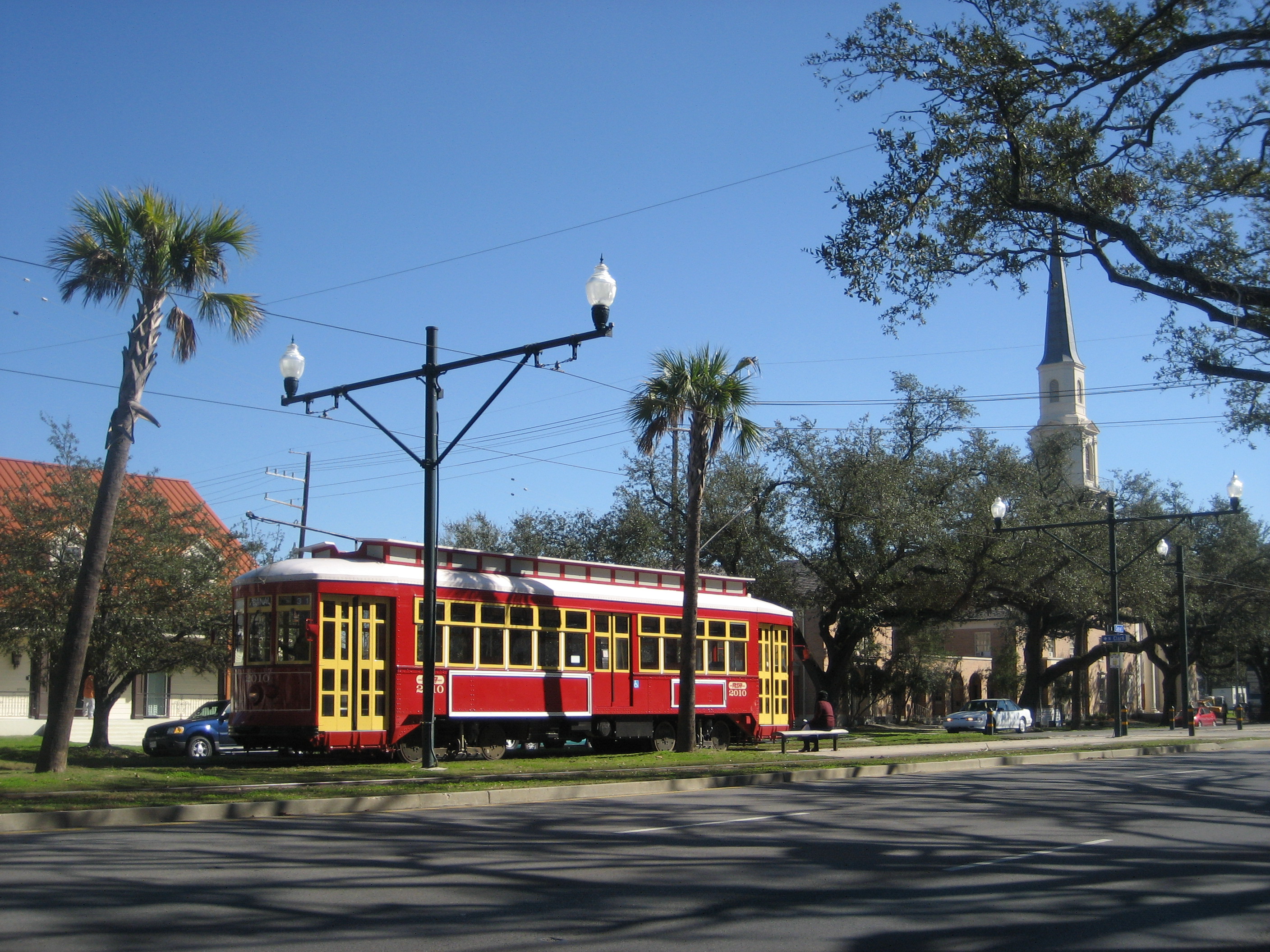
Mid-City New Orleans Neighborhood  Canal Streetcar in Mid-City
Country United States State Louisiana City New Orleans Planning District District 4, Mid-City District Elevation 0 ft (0 m) Coordinates 29°58′19″N 90°05′49″W / 29.97194°N 90.09694°W Area 1.66 sq mi (4.3 km2) - land 1.66 sq mi (4 km2) - water 0.00 sq mi (0 km2), 0% Population 6,217 (2010) Density 3,745 / sq mi (1,446 / km2) Timezone CST (UTC-6) - summer (DST) CDT (UTC-5) Area code 504 Website: Mid-City Historic DistrictLocation: Roughly bounded by Derbigny St., Conti St., City Park Ave. and I-10, New Orleans, Louisiana Area: 850 acres (340 ha) Architect: Multiple Architectural style: Bungalow/Craftsman, Colonial Revival, Italianate Governing body: State NRHP Reference#: 93001394[1] Added to NRHP: December 10, 1993 Mid-City is a neighborhood of the city of New Orleans. A subdistrict of the Mid-City District Area, its boundaries as defined by the City Planning Commission are: City Park Avenue, Toulouse Street, North Carrollton and Orleans Avenues, Bayou St. John and St. Louis Street to the north, North Broad Street to the east, and the Pontchartrain Expressway to the west. It is a historic district on the National Register of Historic Places[2]. In common usage, a somewhat larger area surrounding these borders is often also referred to as part of Mid-City.
Contents
Geography
Mid-City is located at 29°58′19″N 90°05′49″W / 29.97194°N 90.09694°W [3] and has an elevation of 0 feet (0.0 m)[4]. According to the United States Census Bureau, the district has a total area of 1.66 square miles (4.3 km2). 1.66 square miles (4.3 km2) of which is land and 0.00 square miles (0.0 km2) (0.0%) of which is water.
Mid-City is located, as the name indicates, in the middle of New Orleans on what was once the backslope of the Mississippi River natural levee, a gradually declining section of the river's flood plain. As such, it was not settled as early as adjacent neighborhoods and was called the "back of town"—the city ended at the swamp, unlike today, when the city reaches the lake. The Esplanade Ridge and the adjoining Metairie Ridge formed a natural spur from the River; but what is now Mid-City, surrounded by these higher-elevated sections, was part of the "backswamp" until development in the late nineteenth and early twentieth centuries.[2][5]
Adjacent Neighborhoods
- Navarre (north)
- City Park (north)
- Bayou St. John (north)
- Tulane/Gravier (east)
- Gert Town (south)
- Dixon (west)
- Lakewood (west)
Boundaries
The City Planning Commission defines the boundaries of Mid-City as these streets: City Park Avenue, Toulouse Street, North Carrollton Avenue, Orleans Avenues, Bayou St. John, St. Louis Street, North Broad Street and the Pontchartrain Expressway.[6]
Demographics
As of the census[7] of 2000, there were 19,909 people, 5,830 households, and 2,939 families residing in the neighborhood. The population density was 11,993 /mi² (4,630 /km²).
Landmarks
Mid-City is the home of a number of city landmarks. Canal Street, one of the most important thoroughfares of the city, bisects the neighborhood down the middle; the streetcar route follows Canal to Carrollton Avenue, another prominent New Orleans street that passes through Mid-City. Tulane Avenue, which is the terminus of U.S. Route 61, also runs just upriver from Canal Street; before the interstate highway system, this was the primary route into New Orleans from Baton Rouge. An important cross-street is Jefferson Davis Parkway, named for the president of the Confederate States of America, who died in New Orleans's Garden District during an 1889 visit.
The Orleans Parish Criminal Court, the Dixie Brewery, Jesuit High School, Warren Easton High School, and the now-vacant Falstaff Brewery are physically among the most prominent buildings scattered across Mid-City, in addition to a number of churches and large houses along Canal Street. Tulane Avenue in particular shows some remnants of the area's industrial past. However, more characteristic of Mid-City today are the many shotgun houses and larger houses that make up most of this primarily residential neighborhood.
Culture
Mid-City is a generally local, middle-class neighborhood in that it contains fewer tourist destinations than other parts of the city. Restaurants and bars rely heavily on local clientele, giving the area a quirky local flavor.
Hurricane Katrina
- Main article: Effect of Hurricane Katrina on New Orleans
Mid-City experienced extensive flooding in the aftermath of Hurricane Katrina and is involved in a continued effort to rebuild. Repopulation and reconstruction are concentrated along major thoroughfares; March 2007 estimates were that 55% of the residents were again living in the area.[5]
See also
References
- ^ "National Register Information System". National Register of Historic Places. National Park Service. 2009-03-13. http://nrhp.focus.nps.gov/natreg/docs/All_Data.html.
- ^ a b Campanella, Richard. Time and Place in New Orleans: Past Geographies in the Present Day. Gretna, Louisiana: Pelican Publishing Company, 2002. ISBN 1-56554-991-0
- ^ "US Gazetteer files: 2010, 2000, and 1990". United States Census Bureau. 2011-02-12. http://www.census.gov/geo/www/gazetteer/gazette.html. Retrieved 2011-04-23.
- ^ "US Board on Geographic Names". United States Geological Survey. 2007-10-25. http://geonames.usgs.gov. Retrieved 2008-01-31.
- ^ a b Neighborhood organization's statistics
- ^ Greater New Orleans Community Data Center. "Mid-City Neighborhood". http://gnocdc.org/orleans/4/45/index.html. Retrieved 2008-06-21.
- ^ "American FactFinder". United States Census Bureau. http://factfinder.census.gov. Retrieved 2008-01-31.
External links
Neighborhoods of the Mid-City District of New Orleans, Louisiana Bayou St. John | B.W. Cooper | Fairgrounds | Gert Town | Iberville | Mid-City | Seventh Ward | St. Bernard | Treme/Lafitte | Tulane/Gravier
City of New Orleans Topics History · Geography · Demographics · Economy · Culture · Healthcare · Media · Music · Sports · Architecture · Tourism · Education · Notable people · Skyscrapers · Streetcars · Flag · Lists

Government Neighborhoods French Quarter · Central Business District · Garden District · New Orleans East · Audubon · Uptown · Mid-City · Lakeview · Bywater · Lower Ninth Ward · Algiers · Gentilly · Metro area
U.S. National Register of Historic Places Topics Lists by states Alabama • Alaska • Arizona • Arkansas • California • Colorado • Connecticut • Delaware • Florida • Georgia • Hawaii • Idaho • Illinois • Indiana • Iowa • Kansas • Kentucky • Louisiana • Maine • Maryland • Massachusetts • Michigan • Minnesota • Mississippi • Missouri • Montana • Nebraska • Nevada • New Hampshire • New Jersey • New Mexico • New York • North Carolina • North Dakota • Ohio • Oklahoma • Oregon • Pennsylvania • Rhode Island • South Carolina • South Dakota • Tennessee • Texas • Utah • Vermont • Virginia • Washington • West Virginia • Wisconsin • WyomingLists by territories Lists by associated states Other Categories:- Historic districts in Louisiana
- Neighborhoods in New Orleans, Louisiana
- National Register of Historic Places in Louisiana
- Houses on the National Register of Historic Places in Louisiana
- Colonial Revival architecture
- Italianate architecture in Louisiana
Wikimedia Foundation. 2010.