- Audubon, New Orleans
Geobox Neighborhood
name = Audubon
native_name =
other_name = University District
other_name1 =
category = New Orleans Neighborhood
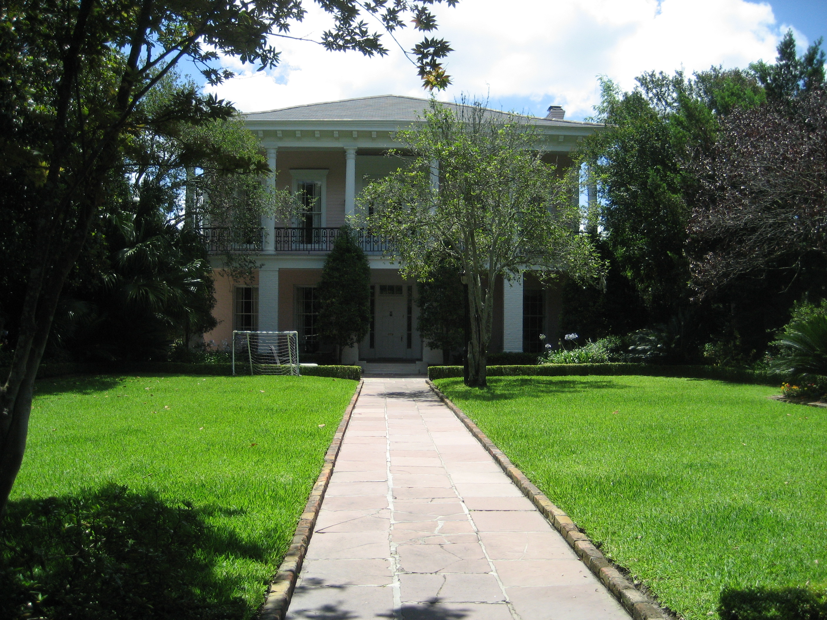
image_caption = Christian Roselius House in the Greenville Section
flag_size =
symbol =
symbol_size =
etymology_type = Named for
etymology =Audubon Park
nickname =
motto =
country = United States
state = Louisiana
region_type = City
region = New Orleans
district_type = Planning District
district = District 3, Uptown/Carrollton
area_imperial = 2.28
area_land_imperial = 2.14
area_water_imperial = 0.15
area_water_percentage = auto
area_percentage_round = 2
area_round = 1
location =
lat_d = 29
lat_m = 55
lat_s = 59
lat_NS = N
long_d = 90
long_m = 07
long_s = 15
long_EW = W
elevation_imperial = 3
elevation_round = 1
population_as_of = 2000
population = 14898
population_density_imperial = auto
established_type =
established =
mayor =
timezone = CST
utc_offset = -6
timezone_DST = CDT
utc_offset_DST = -5
postal_code =
postal_code_type = ZIP Codes
area_code = 504
area_code_type =
code2_type =
code2 =
free_type =
free =
free1_type =
free1 =
map_size =
map_caption =
map_locator =
map_locator_x =
map_locator_y =
website =Audubon is a neighborhood of the city of New Orleans. A subdistrict of the Uptown/
Carrolton Area, its boundaries as defined by the City Planning Commission are: South Claiborne Avenue to the north, Jefferson Avenue to the east, theMississippi River andMagazine Street to the south, and Lowerline Street to the west. The name Audubon comes from Audubon Park, one of the largest parks in the city, which is located in the southern portion of the district. The area is also known as the "University District," as it is also home of Tulane and Loyola Universities, as well as the formerSt. Mary’s Dominican College (now a satelite campus of Loyola). The section of the neighborhood upriver from Audubon Park incorporates what was the town of Greenville, Louisiana until it was annexed to New Orleans in the 19th century; locals still sometimes call that area "Greenville".Geography
Audubon is located at coor dms|29|55|59|N|90|07|15|W|city GR|1 and has an elevation of Ft to m|3GR|3. According to the
United States Census Bureau , the district has a total area of Mi2 to km2|2.28|precision=1. Mi2 to km2|2.14|precision=1 of which is land and Mi2 to km2|0.15|precision=1 (6.58%) of which is water.Some of the most spectacular mansions reside in the area of the city. Areas of note are the houses that line
St. Charles Avenue and the gated community Audubon Place.Adjacent Neighborhoods
* Marlyville/Fontainebleau (north)
* Freret (east)
*Uptown, New Orleans (east)
* West Riverside (south)
*Mississippi River (south)
* Black Pearl (west)
* East Carrollton (west)Boundaries
The City Planning Commission defines the boundaries of Audubon as these streets: South Claiborne Avenue, Jefferson Avenue, Magazine Street, Webster Street, Tchoupitoulas Street, Exposition Place, the Mississippi River, Broadway Street, Perrier Street, Lowerline Street. [cite web|url=http://gnocdc.org/orleans/3/57/index.html|title=Audubon Neighborhood|author=Greater New Orleans Community Data Center|accessdate=2007-09-03]
Demographics
As of the
census GR|2 of 2000, there were 14,898 people, 5,700 households, and 2,724 families residing in the neighborhood. Thepopulation density was 6,534 /mi² (2,523 /km²). The racial makeup of the neighborhood was 5.1% African American, 86.1% White, 2.4% Asian, 0.2% Native American, 0.3% from other races, and 1.5% from two or more races. Hispanic or Latino of any race were 4.4% of the population.ee also
*
New Orleans neighborhoods References
Wikimedia Foundation. 2010.