- East Carrollton, New Orleans
Geobox Neighborhood
name = East Carrollton
native_name =
other_name =
other_name1 =
category = New Orleans Neighborhood
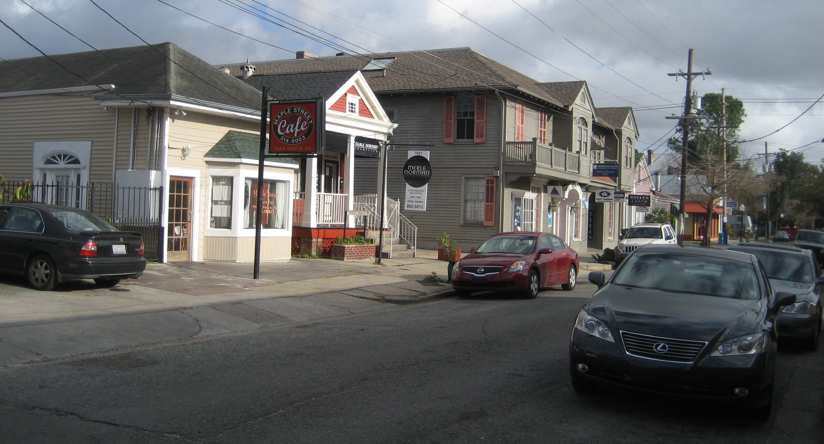
image_caption = Shops along Maple Street
flag_size =
symbol =
symbol_size =
etymology_type =
etymology =
nickname =
motto =
country = United States
state = Louisiana
region_type = City
region = New Orleans
district_type = Planning District
district = District 3, Uptown/Carrollton
area_imperial = 0.38
area_land_imperial = 0.38
area_water_imperial = 0.00
area_water_percentage = auto
area_percentage_round = 2
area_round = 1
location =
lat_d = 29
lat_m = 56
lat_s = 46
lat_NS = N
long_d = 90
long_m = 07
long_s = 36
long_EW = W
elevation_imperial = 0
elevation_round = 1
population_as_of = 2000
population = 4438
population_density_imperial = auto
established_type =
established =
mayor =
timezone = CST
utc_offset = -6
timezone_DST = CDT
utc_offset_DST = -5
postal_code =
postal_code_type = ZIP Codes
area_code = 504
area_code_type =
code2_type =
code2 =
free_type =
free =
free1_type =
free1 =
map_size =
map_caption =
map_locator =
map_locator_x =
map_locator_y =
website =East Carrollton is a neighborhood of the city of New Orleans. A subdistrict of the Uptown/
Carrollton Area, its boundaries as defined by the City Planning Commission are: Spruce Street to the northeast, Lowerline Street to the southeast,St. Charles Avenue to the southwest and South Carrollton Avenue to the northwest.This was a portion of what was the city of
Carrollton, Louisiana before it was annexed to the city of New Orleans in the 19th century.Landmarks include the Maple Street commercial district and Lusher School.
Geography
East Carrollton is located at coor dms|29|56|46|N|90|07|36|W|city GR|1 and has an elevation of convert|0|ft|1GR|3. According to the
United States Census Bureau , the district has a total area of convert|0.38|mi2|1. convert|0.38|mi2|1 of which is land and convert|0.00|mi2|1 (0.0%) of which is water.Adjacent Neighborhoods
* Fontainebleau (northeast)
* Audubon (southeast)
* Black Pearl (southwest)
* Leonidas (northwest)Boundaries
The City Planning Commission defines the boundaries of East Carrollton as these streets: Spruce Street, Lowerline Street, St. Charles Avenue and South Carrollton Avenue. [cite web|url=http://gnocdc.org/orleans/3/11/index.html|title=East Carrollton Neighborhood|author=Greater New Orleans Community Data Center|accessdate=2008-06-21]
Demographics
As of the
census GR|2 of 2000, there were 4,438 people, 2,182 households, and 883 families residing in the neighborhood. Thepopulation density was 11,679 /mi² (4,438 /km²).ee also
*
New Orleans neighborhoods
*Carrollton, Louisiana References
Wikimedia Foundation. 2010.