- Freret, New Orleans
Geobox Neighborhood
name = Freret
native_name =
other_name =
other_name1 =
category = New Orleans Neighborhood
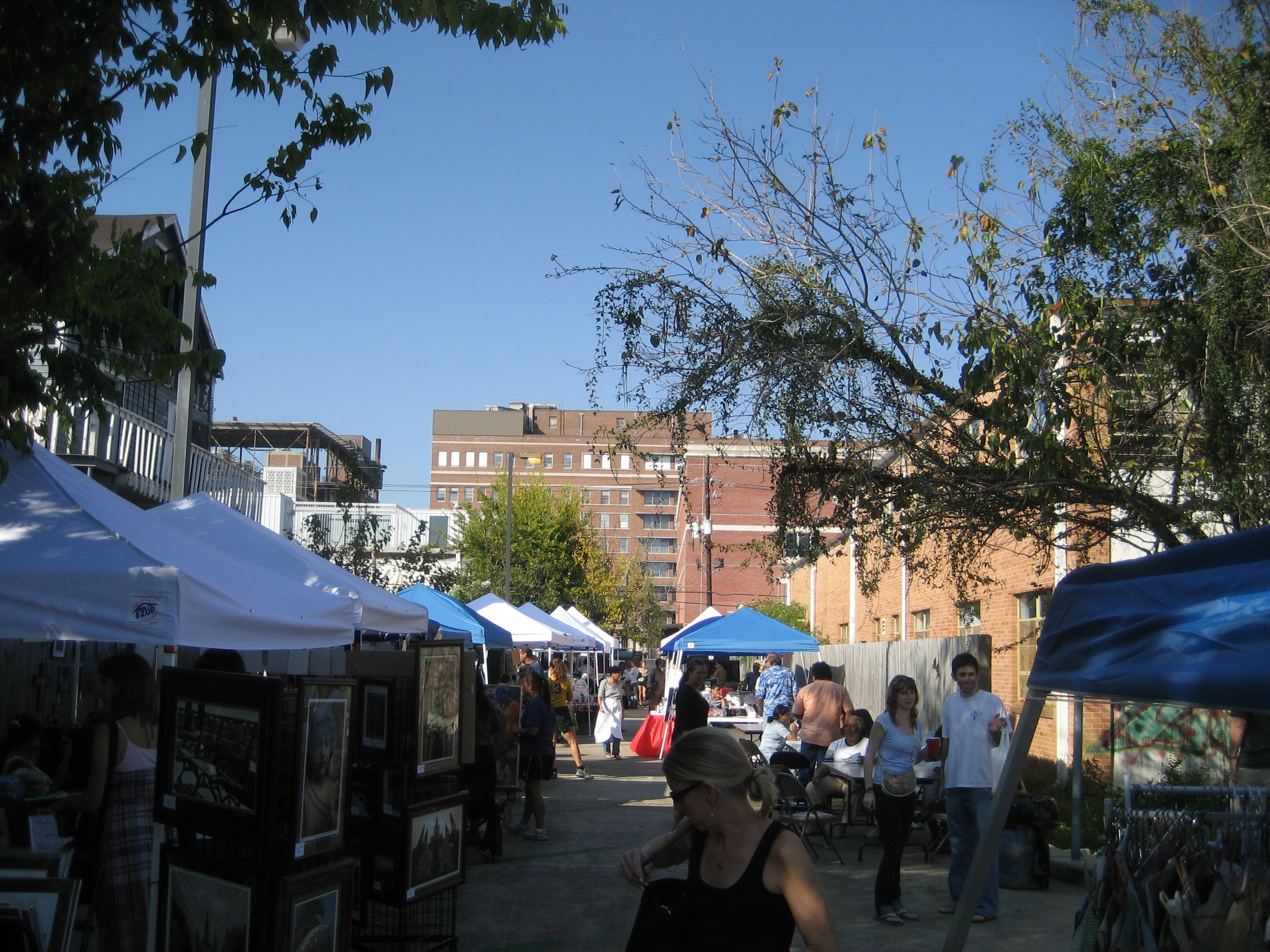
image_caption = At the monthly Freret Street Market
flag_size =
symbol =
symbol_size =
etymology_type =
etymology =
nickname =
motto =
country = United States
state = Louisiana
region_type = City
region = New Orleans
district_type = Planning District
district = District 3, Uptown/Carrollton
area_imperial = 0.19
area_land_imperial = 0.19
area_water_imperial = 0.00
area_water_percentage = auto
area_percentage_round = 2
area_round = 1
location =
lat_d = 29
lat_m = 56
lat_s = 15
lat_NS = N
long_d = 90
long_m = 06
long_s = 25
long_EW = W
elevation_imperial = 0
elevation_round = 1
population_as_of = 2000
population = 2446
population_density_imperial = auto
established_type =
established =
mayor =
timezone = CST
utc_offset = -6
timezone_DST = CDT
utc_offset_DST = -5
postal_code =
postal_code_type = ZIP Codes
area_code = 504
area_code_type =
code2_type =
code2 =
free_type =
free =
free1_type =
free1 =
map_size =
map_caption =
map_locator =
map_locator_x =
map_locator_y =
website =Freret is a neighborhood of the city of New Orleans. A subdistrict of the Uptown/
Carrollton Area, its boundaries as defined by the City Planning Commission are: South Claiborne Avenue to the north, Napoleon Avenue to the east, LaSalle Street to the south and Jefferson Avenue to the west.Geography
Freret is located at coor dms|29|56|15|N|90|06|25|W|city GR|1 and has an elevation of convert|0|ft|1GR|3. According to the
United States Census Bureau , the district has a total area of convert|0.19|mi2|1. convert|0.19|mi2|1 of which is land and convert|0.00|mi2|1 (0.0%) of which is water.Adjacent Neighborhoods
* Broadmoor (north)
* Milan (east)
* Uptown (south)
* Audubon (west)Boundaries
The City Planning Commission defines the boundaries of Freret as these streets: South Claiborne Avenue, Napoleon Avenue, LaSalle Street and Jefferson Avenue. [cite web|url=http://gnocdc.org/orleans/3/64/index.html|title=Freret Neighborhood|author=Greater New Orleans Community Data Center|accessdate=2008-06-21]
Demographics
As of the
census GR|2 of 2000, there were 2,446 people, 902 households, and 546 families residing in the neighborhood. Thepopulation density was 12,874 /mi² (4,892 /km²).ee also
*
New Orleans neighborhoods References
Wikimedia Foundation. 2010.