- Seventh Ward, New Orleans
Geobox Neighborhood
name = Seventh Ward
native_name =
other_name =
other_name1 =
category = New Orleans Neighborhood
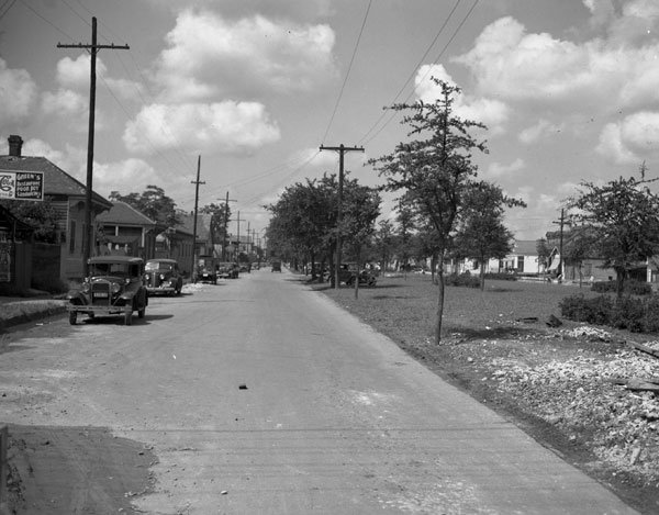
image_caption = Claiborne Avenue at Frenchmen Street, 1938
flag_size =
symbol =
symbol_size =
etymology_type =
etymology =
nickname =
motto =
country = United States
state = Louisiana
region_type = City
region = New Orleans
district_type = Planning District
district = District 4, Mid-City District
area_imperial = 1.16
area_land_imperial = 1.16
area_water_imperial = 0.00
area_water_percentage = auto
area_percentage_round = 2
area_round = 1
location =
lat_d = 29
lat_m = 58
lat_s = 38
lat_NS = N
long_d = 90
long_m = 03
long_s = 56
long_EW = W
elevation_imperial = 0
elevation_round = 1
population_as_of = 2000
population = 16955
population_density_imperial = auto
established_type =
established =
mayor =
timezone = CST
utc_offset = -6
timezone_DST = CDT
utc_offset_DST = -5
postal_code =
postal_code_type = ZIP Codes
area_code = 504
area_code_type =
code2_type =
code2 =
free_type =
free =
free1_type =
free1 =
map_size =
map_caption =
map_locator =
map_locator_x =
map_locator_y =
website =The Seventh Ward is a neighborhood of the city of New Orleans. A subdistrict of the Mid-City District Area, its boundaries as defined by the City Planning Commission are: A.P. Tureaud Avenue, Agriculture, Allen, Industry, St. Anthony, Duels, Frenchmen and Hope Streets to the north,
Elysian Fields Avenue to the east, St. Claude and St. Bernard Avenues, North Rampart Street and Esplanade Avenue to the south and North Broad Street to the west.Geography
Seventh Ward is located at coor dms|29|58|38|N|90|03|56|W|city GR|1 and has an elevation of convert|0|ft|1GR|3. According to the
United States Census Bureau , the district has a total area of convert|1.16|mi2|1. convert|1.16|mi2|1 of which is land and convert|0.00|mi2|1 (0.0%) of which is water.Adjacent Neighborhoods
* St. Roch (north & east)
* Marigny (south)
*Tremé (south)
* Fairgrounds (west)Boundaries
The City Planning Commission defines the boundaries of Seventh Ward as these streets: A.P. Tureaud Avenue, Agriculture Street, Allen Street, Industry Street, St. Anthony Avenue, Duels Street, Frenchmen Street, Hope Street, Elysian Fields Avenue, St. Claude Avenue, St. Bernard Avenue, North Rampart Street, Esplanade Avenue and North Broad Street. [cite web|url=http://gnocdc.org/orleans/4/14/index.html|title=Seventh Ward Neighborhood|author=Greater New Orleans Community Data Center|accessdate=2008-06-21]
Demographics
As of the
census GR|2 of 2000, there were 16,955 people, 6,489 households, and 3,965 families residing in the neighborhood. Thepopulation density was 14,616 /mi² (5,652 /km²).ee also
*
New Orleans neighborhoods References
Wikimedia Foundation. 2010.