- Lakeview, New Orleans
Geobox Neighborhood
name = Lakeview
native_name =
other_name =
other_name1 =
category = New Orleans Neighborhood
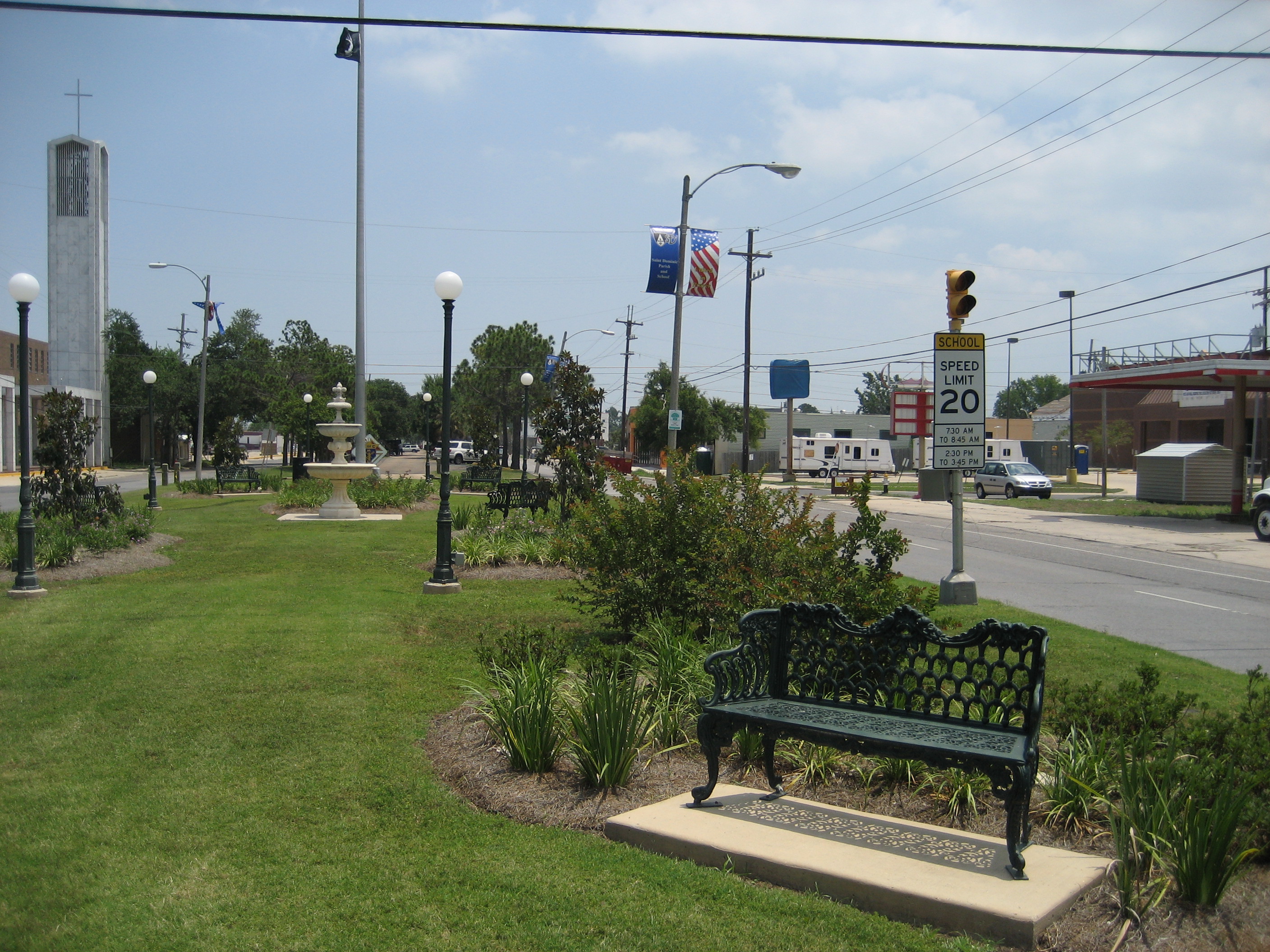
image_caption = Harrison Avenue, Lakeview
flag_size =
symbol =
symbol_size =
etymology_type =
etymology =
nickname =
motto =
country = United States
state = Louisiana
region_type = City
region = New Orleans
district_type = Planning District
district = District 5, Lakeview District
area_imperial = 1.61
area_land_imperial = 1.61
area_water_imperial = 0
area_water_percentage = auto
area_percentage_round = 2
area_round = 1
location =
lat_d = 30
lat_m = 00
lat_s = 24
lat_NS = N
long_d = 90
long_m = 06
long_s = 28
long_EW = W
elevation_imperial = 0
elevation_round = 1
population_as_of = 2000
population = 9875
population_density_imperial = auto
established_type =
established =
mayor =
timezone = CST
utc_offset = -6
timezone_DST = CDT
utc_offset_DST = -5
postal_code =
postal_code_type = ZIP Codes
area_code = 504
area_code_type =
code2_type =
code2 =
free_type =
free =
free1_type =
free1 =
map_size =
map_caption =
map_locator =
map_locator_x =
map_locator_y =
website =Lakeview is a neighborhood of the city of New Orleans. A subdistrict of the Lakeview District Area, its boundaries as defined by the City Planning Commission are: Robert E. Lee Boulevard to the north,
Orleans Avenue to the east, Florida Boulevard, Canal Boulevard and I-610 to the south and Pontchartrain Boulevard to the west. Lakeview is often used to describe the entire area bounded byLake Pontchartrain to the north, theOrleans Avenue Canal to the east, I-10 to the south and the17th Street Canal to the west. This larger context also includes the West End, Lakewood and Navarre neighborhoods.Geography
Lakeview is located at coor dms|30|00|24|N|90|06|28|W|city GR|1 and has an elevation of convert|0|ft|1GR|3. According to the
United States Census Bureau , the district has a total area of convert|1.61|sqmi|1. convert|1.61|sqmi|1 of which is land and convert|0.0|sqmi|1 (0.0%) of which is water.Major north-south roads are Pontchartrain Boulevard, West End Boulevard, and Canal Boulevard; major east-west roads include Harrison Avenue and Robert E. Lee Boulevard. With its easy access to the waters of Lake Pontchartrain, Lakeview has a large sailing and boating community and is served by two
yacht clubs , theNew Orleans Yacht Club andSouthern Yacht Club . The neighborhood is dominated by two large parks,New Basin Canal Park and City Park.Adjacent Neighborhoods
* Lakeshore/Lake Vista (north)
* City Park (east)
* Navarre (south)
* Lakewood (west)
* West End (west)Boundaries
The City Planning Commission defines the boundaries of Lakeview as these streets: Robert E. Lee Boulevard, Orleans Avenue, Florida Boulevard, Canal Boulevard and I-610 and Pontchartrain Boulevard. [cite web|url=http://gnocdc.org/orleans/5/37/index.html|title=Lakeview Neighborhood|author=Greater New Orleans Community Data Center|accessdate=2008-06-21]
Demographics
As of the
census GR|2 of 2000, there were 9,875 people, 4,524 households, and 2,657 families residing in the neighborhood. Thepopulation density was 6,134 /mi² (2,351 /km²).History
In the 19th century and early 20th century, the area was mostly undeveloped
swamp . TheNew Basin Canal was cut through the area in the early 19th century.Large scale residential development of most of the area began after
World War II with the predominant housing style beingbungalows . It has always been one of the few predominantly caucasian neighborhoods in New Orleans. Originally it was mostly middle class, but became more economically upscale. In the late 20th century, manyMcMansion s replaced older more modest homes in much of Lakeview.Hurricane Katrina
Hurricane Katrina hit south east Louisiana at the end of August 2005. As the waters of Lake Pontchartrain rose with the storm, a section ofUnited States Army Corps of Engineers designed and builtlevee floodwall collapsed catastrophically on the17th Street Canal a short distance off the lake. This was one of multiple levee failures which put the majority of the city under water. Lakeview was one of the most severely devastated sections of the city. Floodwaters from the levee failure inundated the neighborhood in a matter of minutes, uprooting trees, and even completely washing away some houses upon impact. Some areas received as much as fourteen feet of floodwater. Fortunately, most of the residents had the means to escape the city before the storm came ashore, but their homes were not so lucky. When the water was pumped out, the scene became even more grisly, as there was more furniture in the streets than in most houses, and despite beliefs that everyone in the neighborhood had left, decaying bodies were found in the attics of several houses, additional corpses were discovered as late as March 2006. Despite all of this, most people say that they will repair and restore their homes and try as hard as possible to rebuild their lives just as they were pre-Katrina.By early 2006, only a handful of homes had been restored. A number more of the 2 story homes had been reoccupied in the upstairs once the flooded downstairs was gutted to the studs to remove flood trashed possessions and infestations of
mold .By spring of 2007, Lakeview was showing significant signs of life again. While vacant buildings are still common, many of the most severely damaged were demolished. As in much of the city,
FEMA trailer s dot the area providing temporary housing during ongoing repair and rebuilding of homes. The first handful of business have reopened, including some retail stores and restaurants.Army Corps of Engineers repair work on the 17th Street Canal floodwalls in Lakeview is still ongoing as of May 2007. Some houses on property near the canal have been expropriated by the Corps. Proposals to expropriate more, including a number of homes that have been repaired and reoccupied, have generated controversy in the area.
ee also
*
New Orleans neighborhoods References
External links
* [http://www.lakeviewcivic.org/ Lakeview Civic Improvement Association]
* [http://www.gulfsails.blogspot.com Lakeview/Hurricane Katrina Blog]
Wikimedia Foundation. 2010.