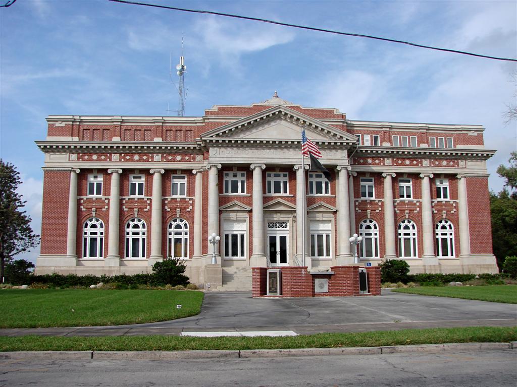
- DeSoto County, Florida
-
DeSoto County, Florida 
Seal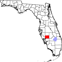
Location in the state of Florida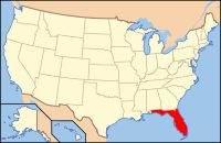
Florida's location in the U.S.Founded 19 May 1887 Seat Arcadia Area
- Total
- Land
- Water
639.50 sq mi (1,656 km²)
637.27 sq mi (1,651 km²)
2.23 sq mi (6 km²), 0.35%Population
- (2010)
- Density
34,862
55/sq mi (21.11/km²)Website co.desoto.fl.us DeSoto County is a county located in the U.S. state of Florida. As of 2000, the population was 32,209. The U.S. Census Bureau 2005 estimate for the county is 35,406 [1]. Its county seat is Arcadia, Florida. The county comprises the Arcadia, Florida Micropolitan Statistical Area.
Contents
History
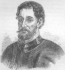
DeSoto County was created in 1887. It was named for Spanish explorer Hernando de Soto, whose name was also honored in Hernando County.
DeSoto County originally included several other present-day counties until 1921, when the Florida legislature created the following new counties: Charlotte, Glades, Hardee, and Highlands.
During World War II, DeSoto County operated the Carlstrom Field Air Base, which provided training for both American and British pilots. Twenty-three British pilots were killed while training at the base and are honored at DeSoto County's Oak Ridge Cemetery, which is located in the town of Arcadia. In 1945, the base turned out its last cadets and was decommissioned. The base was then sold to the State of Florida for one dollar and later converted into a mental health facility known as G. Pierce Wood Memorial Hospital. The hospital has since been converted into a facility for juvenile offenders.
On August 13, 2004, Hurricane Charley passed directly through DeSoto County. Hurricane-force winds persisted for an hour, damaging most of the structures in the county and causing some to be completely destroyed.
Geography
According to the 2000 census, the county has a total area of 639.50 square miles (1,656.3 km2), of which 637.27 square miles (1,650.5 km2) (or 99.65%) is land and 2.23 square miles (5.8 km2) (or 0.35%) is water.[2]
Adjacent counties
- Hardee County, Florida - north
- Highlands County, Florida - east
- Glades County, Florida - southeast
- Charlotte County, Florida - south
- Sarasota County, Florida - west
- Manatee County, Florida - northwest
Demographics
Historical populations Census Pop. %± 1890 4,944 — 1900 8,047 62.8% 1910 14,200 76.5% 1920 25,434 79.1% 1930 7,745 −69.5% 1940 7,792 0.6% 1950 9,242 18.6% 1960 11,683 26.4% 1970 13,060 11.8% 1980 19,039 45.8% 1990 23,865 25.3% 2000 32,209 35.0% 2010 34,862 8.2% [3][4][5] As of the census[6] of 2000, there were 32,209 people, 10,746 households, and 7,672 families residing in the county. The population density was 50 people per square mile (20/km²). There were 13,608 housing units at an average density of 21 per square mile (8/km²). The racial makeup of the county was 73.33% White, 12.72% Black or African American, 1.59% Native American, 0.41% Asian, 0.04% Pacific Islander, 10.49% from other races, and 1.43% from two or more races. 24.90% of the population were Hispanic or Latino of any race.
2005 estimates showed the population as being 56.3% non-Hispanic white, 31.4% Latino, 11.8% African-American and 2.9% Native American. (Source=http://quickfacts.census.gov/qfd/states/12/12027.html)
In 2000 there were 10,746 households out of which 26.50% had children under the age of 18 living with them, 55.50% were married couples living together, 10.30% had a female householder with no husband present, and 28.60% were non-families. 21.00% of all households were made up of individuals and 11.40% had someone living alone who was 65 years of age or older. The average household size was 2.70 and the average family size was 3.00.
In the county the population was spread out with 22.70% under the age of 18, 11.20% from 18 to 24, 26.70% from 25 to 44, 20.50% from 45 to 64, and 19.00% who were 65 years of age or older. The median age was 36 years. For every 100 females there were 128.30 males. For every 100 females age 18 and over, there were 134.70 males.
The median income for a household in the county was $30,714, and the median income for a family was $34,726. Males had a median income of $22,572 versus $20,004 for females. The per capita income for the county was $14,000. About 14.20% of families and 23.60% of the population were below the poverty line, including 31.50% of those under age 18 and 7.30% of those age 65 or over.
Cities and towns
Unincorporated communities
- Brownville
- Fort Ogden
- Hull
- Lake Suzy
- Nocatee
- Pine Level (ghost town)
- Southeast Arcadia (census-designated place)
Politics
DeSoto County typically votes Republican for most state and national offices, although there is a tradition of electing Conservative Democrats to local offices.
Presidential elections results Year Republican Democratic Other 2008 55.4% 43.1% 1.5% 2004 58.1% 41.1% 0.8% 2000 54.5% 42.5% 3.0% 1996 43.7% 43.0% 12.9% 1992 41.3% 35.6% 22.7% 1988 65.6% 33.7% 0.6% See also
References
- ^ http://www.census.gov/popest/counties/tables/CO-EST2005-01-12.xls
- ^ "Census 2000 U.S. Gazetteer Files: Counties". United States Census. http://www.census.gov/tiger/tms/gazetteer/county2k.txt. Retrieved 2011-02-13.
- ^ http://www.census.gov/population/www/censusdata/cencounts/files/fl190090.txt
- ^ http://factfinder2.census.gov/faces/tableservices/jsf/pages/productview.xhtml?pid=DEC_10_PL_QTPL&prodType=table
- ^ http://mapserver.lib.virginia.edu/
- ^ "American FactFinder". United States Census Bureau. http://factfinder.census.gov. Retrieved 2008-01-31.
External links
Government links/Constitutional offices
- DeSoto County Board of County Commissioners official website
- DeSoto County Supervisor of Elections
- DeSoto County Property Appraiser
- DeSoto County Sheriff's Office
- DeSoto County Tax Collector
Special districts
- DeSoto County Public Schools
- Southwest Florida Water Management District
- Heartland Library Cooperative
Judicial branch
- Office of the State Attorney, 12th Judicial Circuit of Florida serving DeSoto, Manatee, and Sarasota counties
- Circuit and County Court for the 12th Judicial Circuit of Florida
Tourism links
Computer Services
- Ducoda Technologies database design services, custom software solutions.
Medical Services
Media
- WFLM-AM (1480 WFLN Newsradio)
- WZZS-FM (106.9 The Bull)
- WZSP-FM (105.3 La Zeta)
- DeSoto County News and The Arcadian historical newspapers for DeSoto County are openly accessible in the Florida Digital Newspaper Library

Manatee County Hardee County Sarasota County 
Highlands County  DeSoto County, Florida

Charlotte County Glades County Municipalities and communities of DeSoto County, Florida City 
CDP Unincorporated
communitiesBrownville | Cubitis | Fort Ogden | Hull | Joshua | Lake Suzy | Lansing | Nocatee | Platt | Southfort
Ghost town Pine Level
Categories:- Florida counties
- DeSoto County, Florida
- Populated places established in 1887
- Micropolitan areas of Florida


Wikimedia Foundation. 2010.