- Montgomery County, Alabama
-
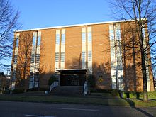
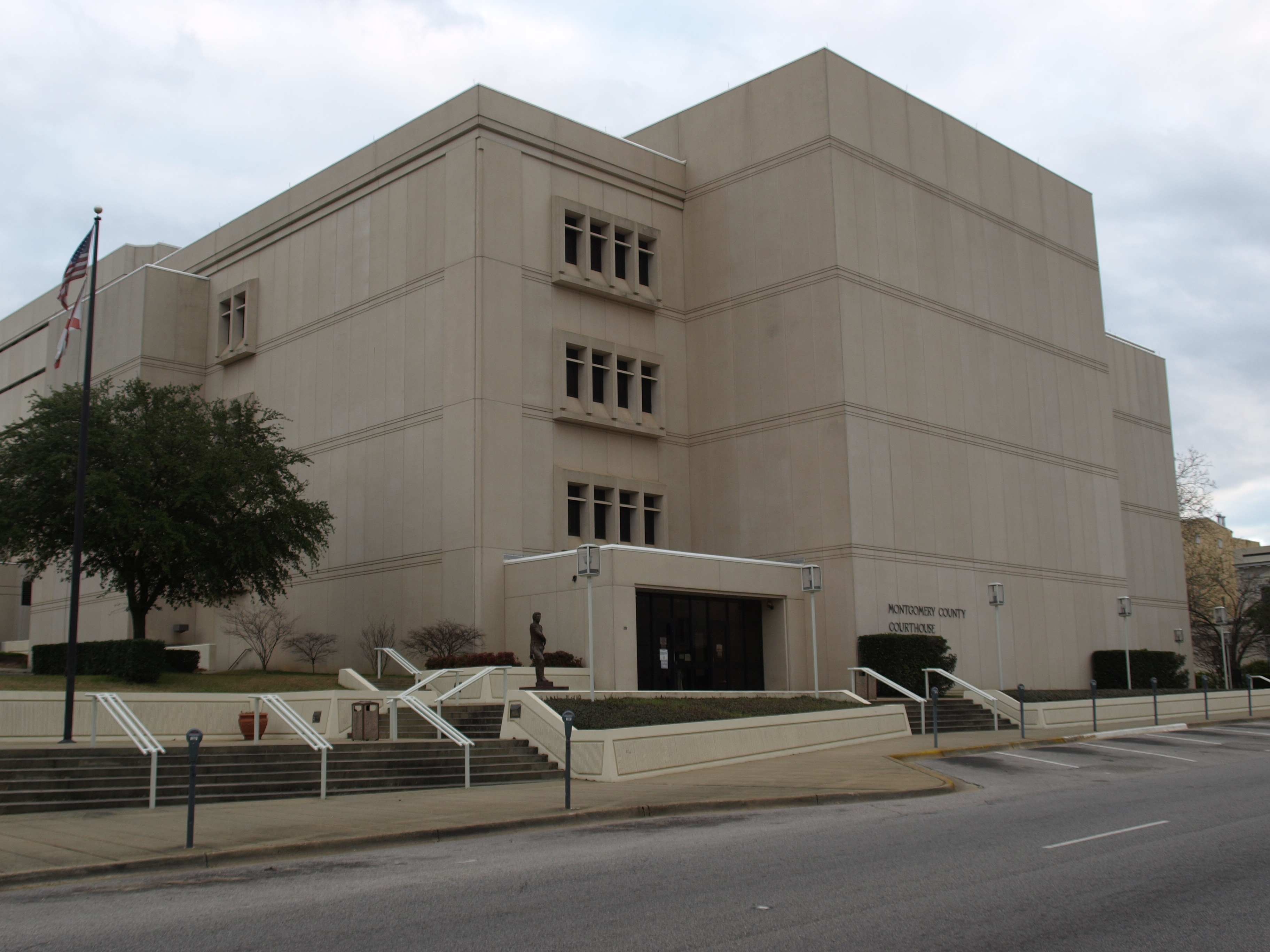
Montgomery County, Alabama 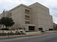 The Montgomery County Courthouse
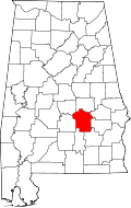
Location in the state of Alabama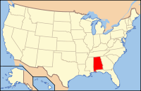
Alabama's location in the U.S.Founded December 6, 1816[1] Seat Montgomery Largest city Montgomery Area
- Total
- Land
- Water
799.76 sq mi (2,071 km²)
789.76 sq mi (2,045 km²)
9.99 sq mi (26 km²), 1.25%Population
- (2010)
- Density
229,363
290/sq mi (112/km²)Website www.mc-ala.org Montgomery County is a county in the U.S. state of Alabama. It is the most populous county in the Montgomery Metropolitan Statistical Area; its population in 2010 was 229,363 .
Contents
History
Montgomery County was established by dividing Monroe County on December 6, 1816 by the Mississippi Territorial Legislature.[1] It is named for Lemuel P. Montgomery, a military officer killed at the Battle of Horseshoe Bend in the War of 1812.[citation needed] The city of Montgomery, which is the county seat, is named for Richard Montgomery,[citation needed] an American Revolutionary War general killed in 1775 while attempting to capture Quebec City, Canada.
Geography
According to the 2000 census, the county has a total area of 799.76 square miles (2,071.4 km2), of which 789.76 square miles (2,045.5 km2) (or 98.75%) is land and 9.99 square miles (25.9 km2) (or 1.25%) is water.[2]
Major highways
 Interstate 65
 Interstate 85
 U.S. Highway 31
 U.S. Highway 80
 U.S. Highway 82
 U.S. Highway 231
 U.S. Highway 331
 Alabama State Route 94
 Alabama State Route 110
 Alabama State Route 152
 Alabama State Route 271
Adjacent counties
- Elmore County (north)
- Macon County (northeast)
- Bullock County (east)
- Pike County (southeast)
- Crenshaw County (southwest)
- Lowndes County (west)
- Autauga County (northwest)
Demographics
Historical populations Census Pop. %± 1820 6,604 — 1830 12,695 92.2% 1840 24,574 93.6% 1850 29,711 20.9% 1860 35,904 20.8% 1870 43,704 21.7% 1880 52,356 19.8% 1890 56,172 7.3% 1900 72,047 28.3% 1910 82,178 14.1% 1920 80,853 −1.6% 1930 98,671 22.0% 1940 114,420 16.0% 1950 138,965 21.5% 1960 169,210 21.8% 1970 167,790 −0.8% 1980 197,038 17.4% 1990 209,085 6.1% 2000 223,510 6.9% 2010 229,363 2.6% [3][4][5] 2010
Whereas according to the 2010 U.S. Census Bureau:
- 39.5% White
- 54.7% Black
- 0.3% Native American
- 1.2% Asian
- 0.0% Native Hawaiian or Pacific Islander
- 1.3% Two or more races
- 3.6% Hispanic or Latino (of any race)
2000
As of the census[6] of 2000, there were 223,510 persons, 86,068 households, and 56,804 families in the county. The population density was 283 persons per square mile (109/km2). There were 95,437 housing units, at an average density of 121 per square mile (47/km2). The racial makeup of the county was 48.85% White, 48.58% Black or African American, 0.99% Asian, 0.25% Native American, 0.03% Pacific Islander, 0.35% from other races, and 0.94% from two or more races. Hispanics and Latinos, of any race, made up 1.19% of the population.
The total population was estimated to have grown by 61 persons from 2000 to 2006.
By 2005, 52.5% of the population was black, 44.0% was non-Hispanic white, 1.4% was Hispanic, 1.2% was Asian, 0.2% was Native American, and 0.9% of the population reported two or more races. This excludes those who reported "some other race" and "white", because the Census Bureau reclassified all who reported "some other race" as white.[citation needed]
There were 86,068 households, 32.20% of which included children under the age of 18, 43.80% were married couples living together, 18.60% had a female householder with no husband present, and 34.00% were non-families. Single-persons households were 29.50% of the total; 9.40% had someone living alone who was 65 years of age or older. The average household size was 2.46. The average family size was 3.06.
Persons younger than 18 were 25.80% of the population; those 18–24, 11.70%; 25–44, 29.80%; 45–64, 20.90%; and 65 and older, 11.80%. The median age was 34 years. For every 100 females there were 90.80 males. For every 100 females aged 18 and over, there were 86.70 males.
The median income for a household in the county was $35,962, and the median income for a family was $44,669. Males had a median income of $32,018; females, $24,921. The per capita income for the county was $19,358. About 13.50% of families and 17.30% of the population were below the poverty line, including 25.10% of those under age 18 and 13.70% of those 65 and older.
2008 election results
In the presidential race, Barack Obama won 62,166 votes, or 59%, while 42,031 votes (40% of those cast) were for John McCain[7]
Government and infrastructure
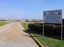 Kilby Correctional Facility
The Alabama Department of Corrections operates the Kilby Correctional Facility in Mount Meigs, an unincorporated area in the county.[8] The Montgomery Women's Facility, an ADOC facility for women, is located behind Kilby.[9] In addition ADOC operates the Red Eagle Work Center in an unincorporated area 3 miles (4.8 km) north of Downtown Montgomery.[10]
The Mount Meigs Campus, a juvenile correctional facility and the headquarters of the Alabama Department of Youth Services, which operates the campus, is in Mount Meigs.[11][12]
Cities and towns
Unincorporated areas
- Ada
- Boylston
- Cecil
- Hope Hull
- Mount Meigs
- Pintlala
- Ramer
- Snowdoun
- Waugh
Education
 The Montgomery Public Schools headquarters and Montgomery County Board of Education is located at 307 S. Decatur Street in Montgomery.
Montgomery Public Schools operates public schools.
The Montgomery City-County Public Library operates public libraries.
See also
- National Register of Historic Places listings in Montgomery County, Alabama
- Properties on the Alabama Register of Landmarks and Heritage in Montgomery County, Alabama
References
- ^ a b A Digest of the Laws of the State of Alabama: Containing The Statutes and Resolutions in Force at the end of the General Assembly in January, 1823. Published by Ginn & Curtis, J. & J. Harper, Printers, New-York, 1828. Title 10. Chapter VII. Pages 83-84. "An Act to divide the County of Monroe, and form a new County by the name of Montgomery—Passed December 6, 1816." (Google Books)
- ^ "Census 2000 U.S. Gazetteer Files: Counties". United States Census. http://www.census.gov/tiger/tms/gazetteer/county2k.txt. Retrieved 2011-02-13.
- ^ http://www.census.gov/population/www/censusdata/cencounts/files/al190090.txt
- ^ http://factfinder2.census.gov
- ^ http://mapserver.lib.virginia.edu/
- ^ "American FactFinder". United States Census Bureau. http://factfinder.census.gov. Retrieved 2008-01-31.
- ^ http://www.uselectionatlas.org/RESULTS/
- ^ "Kilby Correctional Facility." Alabama Department of Corrections. Retrieved on September 5, 2010.
- ^ "Montgomery Women's Facility." Alabama Department of Corrections. Retrieved on July 4, 2011.
- ^ "Red Eagle Work Center." Alabama Department of Corrections. Retrieved on July 4, 2011.
- ^ "Mt. Meigs Campus." Alabama Department of Youth Services. Retrieved on July 26, 2010.
- ^ "School District Contact Information and Addresses." Alabama Department of Youth Services. Retrieved on July 26, 2010. "DYS Central Office" "1000 Industrial School Road Mt. Meigs, AL 36057"
External links

Autauga County Elmore County Macon County Lowndes County 
Bullock County  Montgomery County, Alabama

Crenshaw County Pike County Municipalities and communities of Montgomery County, Alabama Cities 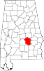
Unincorporated
communitiesAda | Boylston | Cecil | Grady | Hope Hull | Mount Meigs | Ramer | Waugh
National Register of Historic Places in Montgomery County, Alabama National Historic Landmarks 
Historic districts Alabama State University Historic District | City of St. Jude Historic District | Cloverdale Historic District | Cottage Hill Historic District | Court Square Historic District | Dowe Historic District | Garden District | Huntingdon College Campus Historic District | Lower Commerce Street Historic District | Maxwell Air Force Base Senior Officers' Quarters Historic District | North Lawrence-Monroe Street Historic District | Ordeman-Shaw Historic District | Perry Street Historic District | South Perry Street Historic District
Other properties Bell Building | Brame House | Patrick Henry Brittan House | Building 800-Austin Hall | Building 836-Community College of the Air Force Building | Cassimus House | Cleveland Court Apartments 620–638 | Jefferson Davis Hotel | Edgewood | First White House of the Confederacy | Gay House | Gerald-Dowdell House | Governor's Mansion | Grace Episcopal Church | Harrington Archaeological Site | Jefferson Franklin Jackson House | Jere Shine Site | Gov. Thomas G. Jones House | McBryde-Screws-Tyson House | Mt. Zion AME Zion Church | Muklassa | The Murphy House | Old Ship African Methodist Episcopal Zion Church | Opp Cottage | Pastorium, Dexter Avenue Baptist Church | Pepperman House | Powder Magazine | St. John's Episcopal Church | Sayre Street School | Scott Street Firehouse | Semple House | Shepherd Building | Smith-Joseph-Stratton House | Stay House | Steiner-Lobman and Teague Hardware Buildings | Stone Plantation | Tankersley Rosenwald School | Dr. C.A. Thigpen House | Tulane Building | Tyson-Maner House | United States Post Office and Courthouse-Montgomery | Winter Building | Winter Place | William Lowndes Yancey Law Office
 State of Alabama
Topics - Index
- History
- Geography
- People
- Delegations
- Government
- Governors
- Lieutenant Governors
- Metropolitan Areas
- Visitor Attractions
- National Historic Landmarks
Regions Metros - Greater Birmingham
- Montgomery Metro Area
- Mobile Metro Area
- Huntsville Metro Area
Larger cities Counties - Autauga
- Baldwin
- Barbour
- Bibb
- Blount
- Bullock
- Butler
- Calhoun
- Chambers
- Cherokee
- Chilton
- Choctaw
- Clarke
- Clay
- Cleburne
- Coffee
- Colbert
- Conecuh
- Coosa
- Covington
- Crenshaw
- Cullman
- Dale
- Dallas
- DeKalb
- Elmore
- Escambia
- Etowah
- Fayette
- Franklin
- Geneva
- Greene
- Hale
- Henry
- Houston
- Jackson
- Jefferson
- Lamar
- Lauderdale
- Lawrence
- Lee
- Limestone
- Lowndes
- Macon
- Madison
- Marengo
- Marion
- Marshall
- Mobile
- Monroe
- Montgomery
- Morgan
- Perry
- Pickens
- Pike
- Randolph
- Russell
- Shelby
- St. Clair
- Sumter
- Talladega
- Tallapoosa
- Tuscaloosa
- Walker
- Washington
- Wilcox
- Winston
Coordinates: 32°13′09″N 86°12′34″W / 32.21917°N 86.20944°W
Categories:- Alabama counties
- Montgomery County, Alabama
- Montgomery metropolitan area
- 1816 establishments in the United States
- Populated places established in 1816


Wikimedia Foundation. 2010.