- National Register of Historic Places listings in Siskiyou County, California
-
This list includes properties and districts listed on the National Register of Historic Places in Siskiyou County, California. Click the "Map of all coordinates" link to the right to view a Google map of all properties and districts with latitude and longitude coordinates in the table below.[1]
-
- This National Park Service list is complete through NPS recent listings posted November 10, 2011.[2]
[3] Landmark name [4] Image Date listed Location City or town Summary 1 Captain Jack's Stronghold 
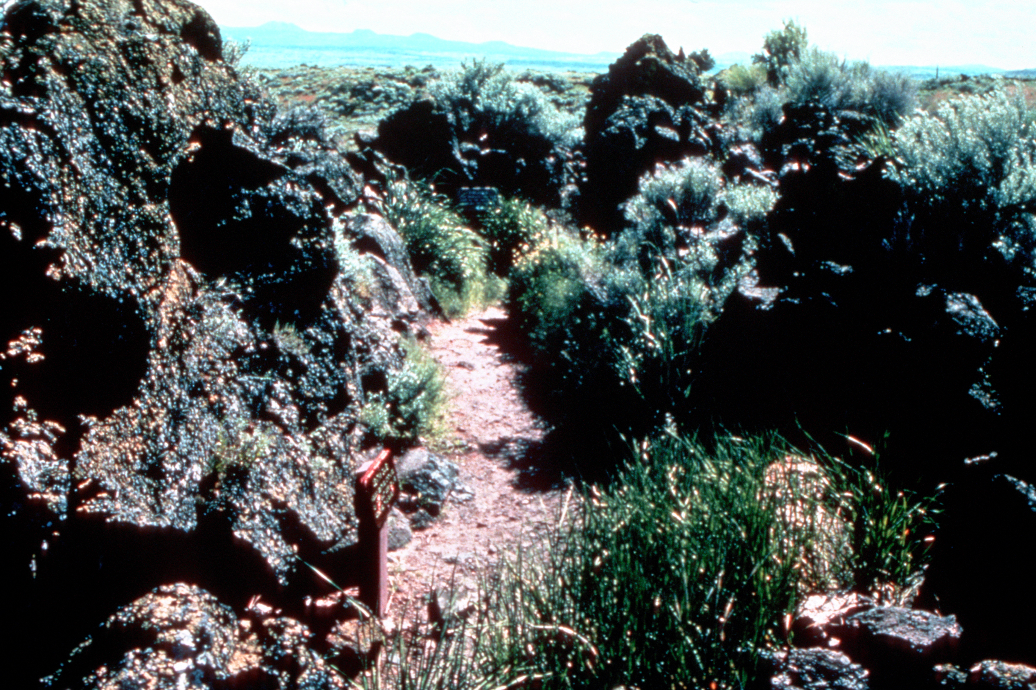
September 20, 1973 S of Tulelake, Lava Beds National Monument
41°49′18″N 121°30′18″W / 41.821667°N 121.505°WTulelake 2 Dunsmuir Historic Commercial District November 10, 1982 Roughly bounded by Sacramento and Shasta Aves., Spruce and Cedar Sts. (both sides)
41°12′37″N 122°16′16″W / 41.210278°N 122.271111°WDunsmuir 3 Edgewood Store March 10, 2004 24505 Edgewood Rd.
41°27′28″N 122°25′52″W / 41.457778°N 122.431111°WEdgewood 4 Lewis Falkenstein House December 31, 1979 401 S. Gold Street
41°43′48″N 122°38′30″W / 41.73°N 122.641667°WYreka 5 Forest House July 14, 2011 4204 California State Route 3
41°40′31″N 122°41′02″W / 41.675278°N 122.683889°WYreka vicinity 6 Fort Jones House April 22, 1976 Main St.
41°36′19″N 122°50′28″W / 41.605278°N 122.841111°WFort Jones 7 William Harlow Cabin June 3, 1991 Elliot Cr. Rd. No. 1050, 1 mi. from Joe Bar Subdivision
41°59′59″N 123°06′04″W / 41.999722°N 123.101111°WSeiad Valley 8 Hospital Rock Army Camp Site October 2, 1973 S of Tulelake, Lava Beds National Monument
41°49′45″N 121°28′31″W / 41.829167°N 121.475278°WTulelake 9 Hotel Macdoel February 11, 1982 Montezuma Ave. and Mt. Shasta St.
41°49′43″N 122°00′10″W / 41.828611°N 122.002778°WMacdoel 10 Lava Beds National Monument Archeological District March 21, 1991 Address Restricted Tulelake 11 Lower Klamath National Wildlife Refuge October 15, 1966 Lower Klamath Lake, E of Dorris
41°56′48″N 121°39′53″W / 41.946667°N 121.664722°WDorris 12 McCloud March 16, 1990 Roughly bounded by Columbero Dr., Main St., W. Minnesota Ave., and Lawndale Ct.
41°15′16″N 122°08′18″W / 41.254444°N 122.138333°WMcCloud 13 Sawyers Bar Catholic Church July 7, 1978 Klamath National Forest
41°18′03″N 123°08′10″W / 41.300833°N 123.136111°WSawyers Bar 14 Shasta Inn and Weed Lumber Company Boarding House November 10, 1980 829 and 877 N. Davis St.
41°25′53″N 122°22′48″W / 41.431389°N 122.38°WWeed 15 Thomas-Wright Battle Site November 15, 1978 S of Tulelake in Lava Beds National Monument
41°46′13″N 121°31′25″W / 41.770278°N 121.523611°WTulelake 16 West Miner Street-Third Street Historic District 
December 11, 1972 102-402 W. Miner St. and 122-419 3rd St.
41°44′01″N 122°38′07″W / 41.733611°N 122.635278°WYreka 17 White's Gulch Arrastra December 22, 1978 E of Swayers Bar
41°16′53″N 123°04′31″W / 41.281389°N 123.075278°WSawyers Bar 18 Yreka Carnegie Library March 26, 1992 412 W. Miner St.
41°43′57″N 122°38′17″W / 41.7325°N 122.638056°WYreka See also
- National Register of Historic Places listings in California
- List of National Historic Landmarks in California
References
- ^ The latitude and longitude information provided in this table was derived originally from the National Register Information System, which has been found to be fairly accurate for about 99% of listings. For about 1% of NRIS original coordinates, experience has shown that one or both coordinates are typos or otherwise extremely far off; some corrections may have been made. A more subtle problem causes many locations to be off by up to 150 yards, depending on location in the country: most NRIS coordinates were derived from tracing out latitude and longitudes off of USGS topographical quadrant maps created under the North American Datum of 1927, which differs from the current, highly accurate WGS84 GPS system used by Google maps. Chicago is about right, but NRIS longitudes in Washington are higher by about 4.5 seconds, and are lower by about 2.0 seconds in Maine. Latitudes differ by about 1.0 second in Florida. Some locations in this table may have been corrected to current GPS standards.
- ^ "National Register of Historic Places: Weekly List Actions". National Park Service, United States Department of the Interior. Retrieved on November 10, 2011.
- ^ Numbers represent an ordering by significant words. Various colorings, defined here, differentiate National Historic Landmark sites and National Register of Historic Places Districts from other NRHP buildings, structures, sites or objects.
- ^ "National Register Information System". National Register of Historic Places. National Park Service. . http://nrhp.focus.nps.gov/natreg/docs/All_Data.html.
U.S. National Register of Historic Places Topics Lists by states Alabama • Alaska • Arizona • Arkansas • California • Colorado • Connecticut • Delaware • Florida • Georgia • Hawaii • Idaho • Illinois • Indiana • Iowa • Kansas • Kentucky • Louisiana • Maine • Maryland • Massachusetts • Michigan • Minnesota • Mississippi • Missouri • Montana • Nebraska • Nevada • New Hampshire • New Jersey • New Mexico • New York • North Carolina • North Dakota • Ohio • Oklahoma • Oregon • Pennsylvania • Rhode Island • South Carolina • South Dakota • Tennessee • Texas • Utah • Vermont • Virginia • Washington • West Virginia • Wisconsin • WyomingLists by territories Lists by associated states Other Municipalities and communities of Siskiyou County, California Cities Dorris | Dunsmuir | Etna | Fort Jones | Montague | Mount Shasta | Tulelake | Weed | Yreka
CDPs Unincorporated
communitiesBlack Butte | Callahan | Cecilville | Forks of Salmon | Klamath River | Horse Creek | Pondosa | Sawyers Bar | Scott Bar | Seiad Valley | Somes Bar
Indian reservation Categories:- Siskiyou County, California
- National Register of Historic Places in California by county
- Lists of National Register of Historic Places in California
-


Wikimedia Foundation. 2010.