|
Landmark name |
Image |
Date listed |
Location |
City or Town |
Summary |
| 1 |
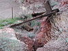
B-29 Serial No. 45-21847 (Heavy Bomber) |
|
02011-04-20 April 20, 2011 |
Lake Mead National Recreation Area |
Overton vicinity |
|
| 2 |
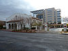
Berkley Square |
 |
02009-10-23 October 23, 2009 |
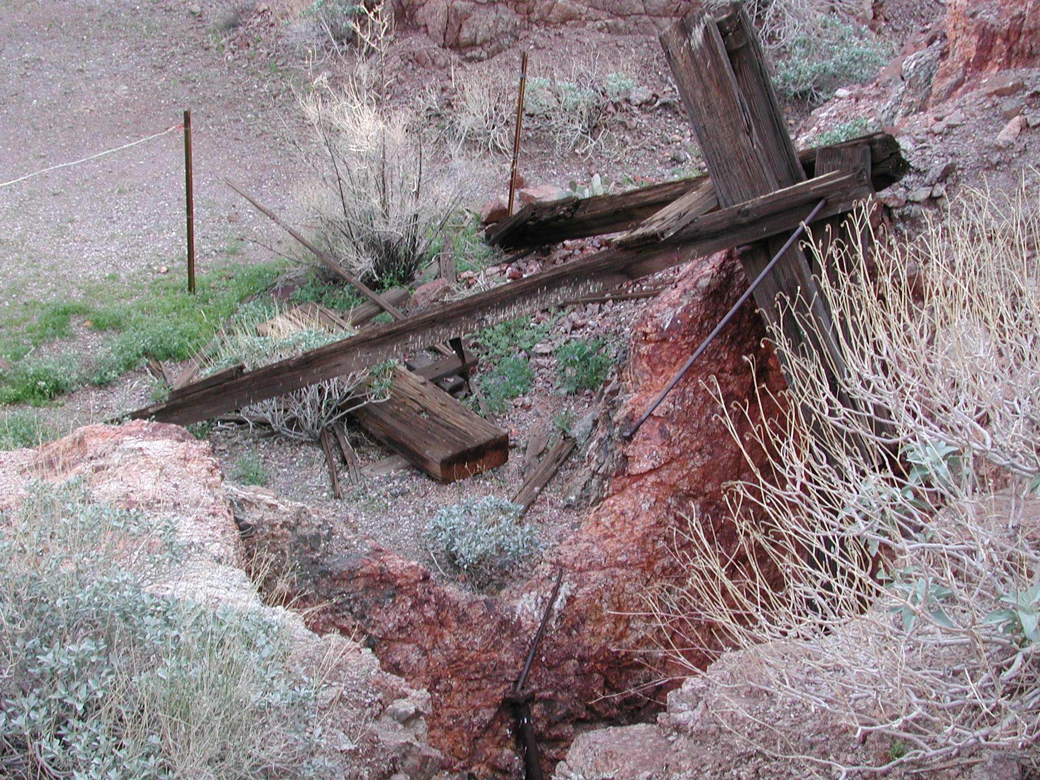
Area bounded by Byrnes Ave., D St., Leonard Ave., and G St.
36°11′26.09″N 115°8′57.05″W / 36.1905806°N 115.1491806°W / 36.1905806; -115.1491806 (Berkley Square) |
Las Vegas |
|
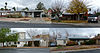
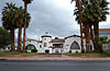
| 3 |
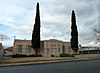
Boulder City Historic District |
 |
01983-08-19 August 19, 1983 |
Roughly bounded by Nevada Highway, Avenue L, Date, and 5th Sts.
35°58′40″N 114°50′3″W / 35.97778°N 114.83417°W / 35.97778; -114.83417 (Boulder City Historic District) |
Boulder City |
|
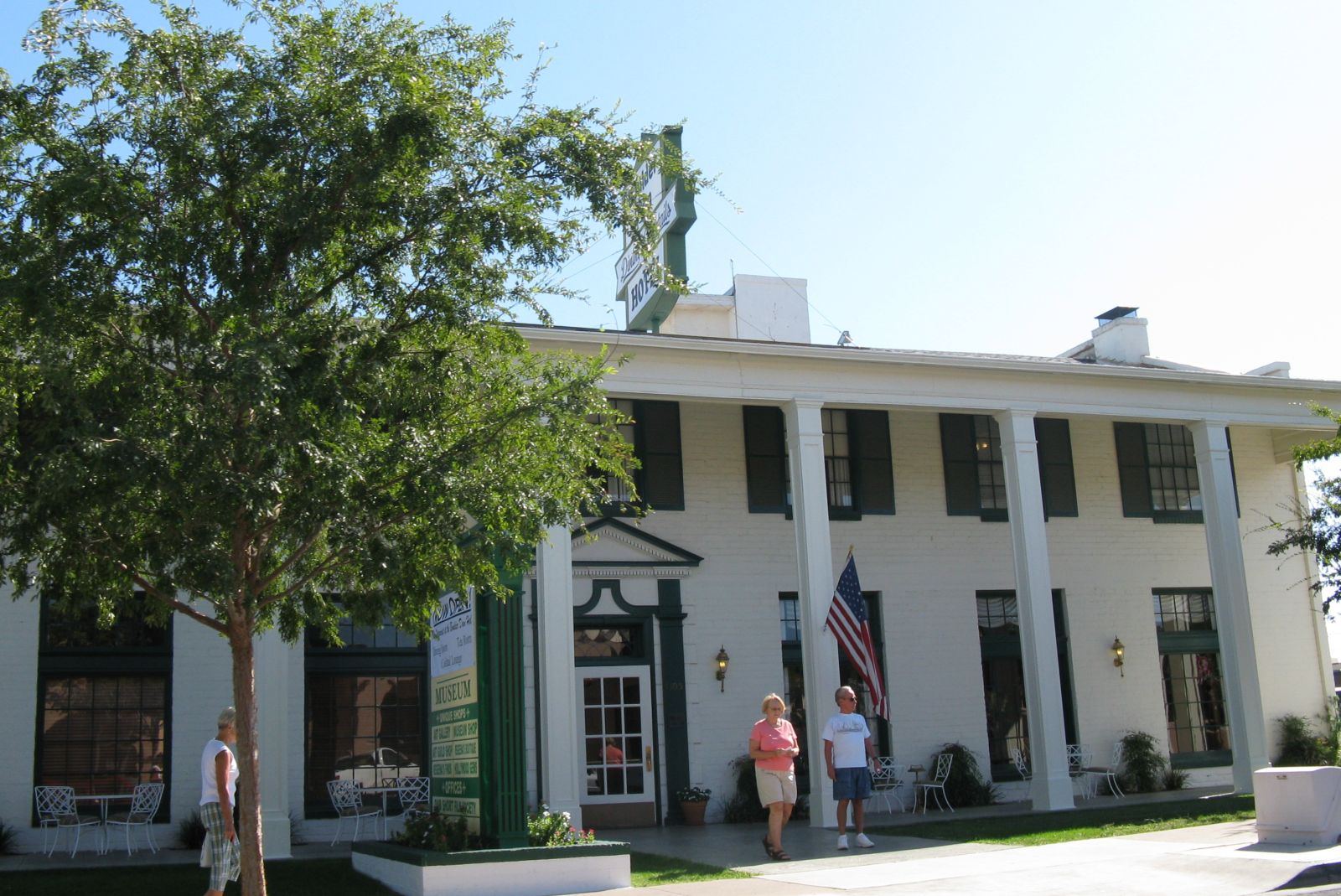
| 4 |
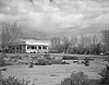
Boulder Dam Hotel |
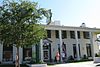 |
01982-07-13 July 13, 1982 |
1305 Arizona St.
35°58′45″N 114°49′48″W / 35.97917°N 114.83°W / 35.97917; -114.83 (Boulder Dam Hotel) |
Boulder City |
|
| 5 |
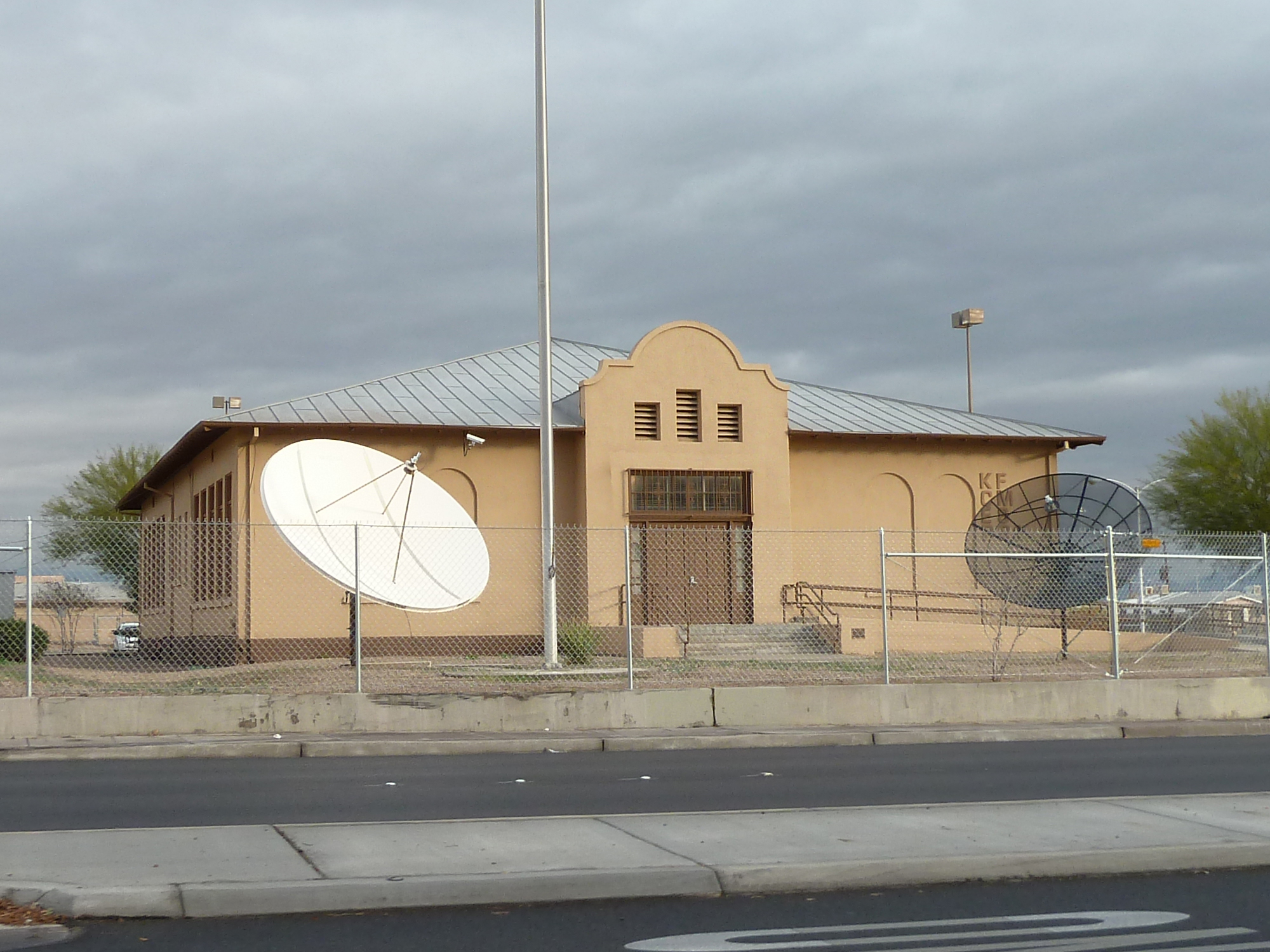
Boulder Dam Park Museum |
 |
01996-02-22 February 22, 1996 |
Western side of State Route 169
36°31′53″N 114°26′24″W / 36.53139°N 114.44°W / 36.53139; -114.44 (Boulder Dam Park Museum) |
Overton |
|
| 6 |
Brownstone Canyon Archeological District |
 |
01982-09-22 September 22, 1982 |
West of Las Vegas
36°11′1″N 115°25′28″W / 36.18361°N 115.42444°W / 36.18361; -115.42444 (Brownstone Canyon Archeological District)[2] |
Las Vegas |
|
| 7 |
Camp Lee Canyon |
|
01997-01-16 January 16, 1997 |
State Route 156 approximately 50 miles northwest of Las Vegas in the Spring Mountains National Recreation Area
36°18′32″N 115°40′22″W / 36.30889°N 115.67278°W / 36.30889; -115.67278 (Camp Lee Canyon) |
Las Vegas |
|
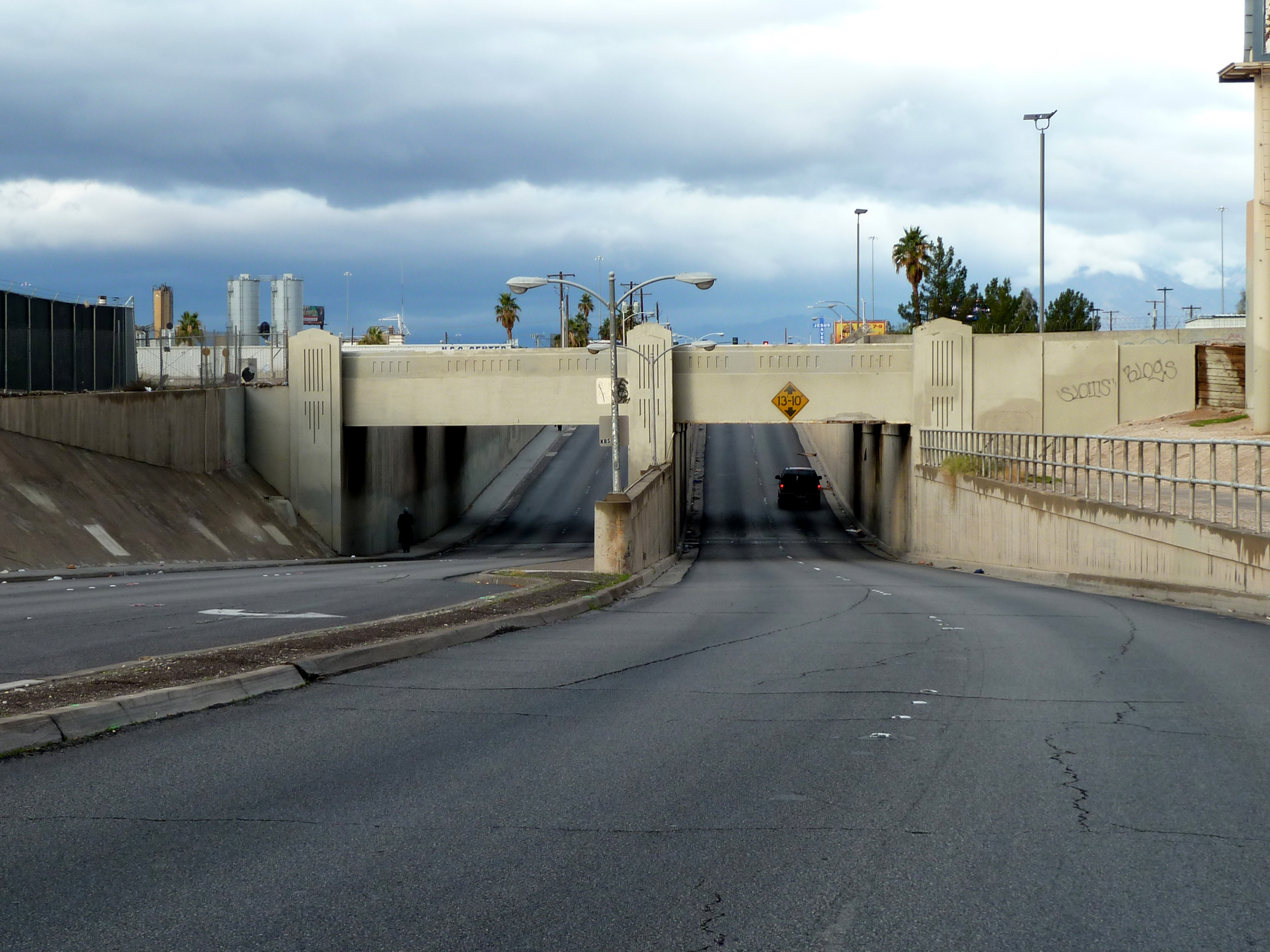
| 8 |
Clark Avenue Railroad Underpass |
 |
02004-01-28 January 28, 2004 |
Junction of Bonanza Rd. and Union Pacific railroad line
36°10′38″N 115°8′40″W / 36.17722°N 115.14444°W / 36.17722; -115.14444 (Clark Avenue Railroad Underpass) |
Las Vegas |
Also known as the Bonanza Underpass |
| 9 |
Corn Creek Campsite |
|
01975-03-04 March 4, 1975 |
Address Restricted |
Las Vegas |
|
| 10 |
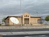
Desert Valley Museum |
 |
01991-10-24 October 24, 1991 |
31 W. Mesquite Boulevard
36°48′15″N 114°4′5″W / 36.80417°N 114.06806°W / 36.80417; -114.06806 (Desert Valley Museum) |
Mesquite |
Now the Virgin Valley Heritage Museum |
| 11 |
Eureka Locomotive |
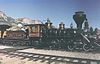 |
01995-01-12 January 12, 1995 |
Address Restricted
36°13′40″N 115°12′29″W / 36.22778°N 115.20806°W / 36.22778; -115.20806 (Eureka Locomotive) |
Las Vegas |
|
| 12 |
Gold Strike Canyon-Sugarloaf Mountain Traditional Cultural Property |
|
02004-09-04 September 4, 2004 |
Address Restricted |
Boulder City |
|
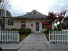
| 13 |
Goodsprings Schoolhouse |
|
01992-03-10 March 10, 1992 |
San Pedro Ave. east of its junction with Esmeralda St.
35°49′54″N 115°26′5″W / 35.83167°N 115.43472°W / 35.83167; -115.43472 (Goodsprings Schoolhouse) |
Goodsprings |
|
| 14 |
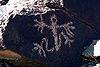
Grapevine Canyon Petroglyphs (AZ:F:14:98 ASM) |
|
01984-12-15 December 15, 1984 |
Address Restricted |
Laughlin |
|
| 15 |
Green Shack |
|
01994-06-03 June 3, 1994 |
2504 E. Fremont
36°9′28″N 115°6′53″W / 36.15778°N 115.11472°W / 36.15778; -115.11472 (Green Shack) |
Las Vegas |
|
| 16 |
Gypsum Cave |
|
02010-07-08 July 8, 2010 |
Sunrise Mountain
36°13′28″N 114°58′37″W / 36.22444°N 114.97694°W / 36.22444; -114.97694 (Gypsum Cave)[3] |
Las Vegas |
|
| 17 |
Hidden Forest Cabin |
|
01975-02-20 February 20, 1975 |
About 20 miles north of Las Vegas on Hidden Forest Rd.
36°37′54″N 115°13′5″W / 36.63167°N 115.21806°W / 36.63167; -115.21806 (Hidden Forest Cabin) |
Las Vegas |
|
| 18 |
Homestake Mine |
 |
01985-07-17 July 17, 1985 |
Address Restricted |
Searchlight |
|
| 19 |
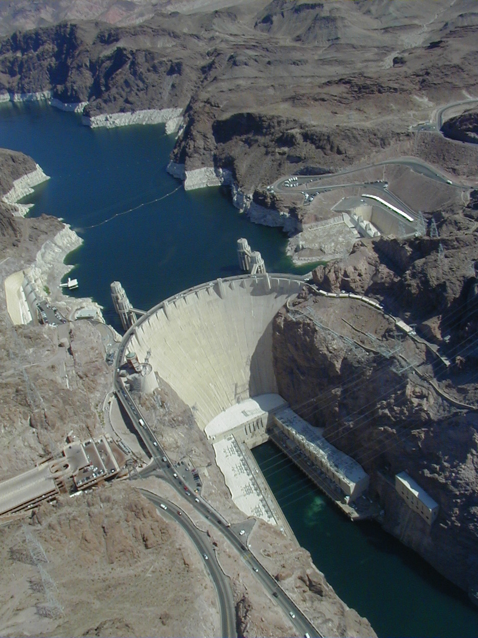
Hoover Dam |
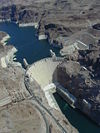 |
01981-04-08 April 8, 1981 |
East of Las Vegas on U.S. Route 93
36°0′58″N 114°44′12″W / 36.01611°N 114.73667°W / 36.01611; -114.73667 (Hoover Dam) |
Boulder City |
|
| 20 |
Parley Hunt House |
|
01991-11-14 November 14, 1991 |
Canal St. near its junction with Virgin St.
36°46′32″N 114°6′59″W / 36.77556°N 114.11639°W / 36.77556; -114.11639 (Hunt, Parley, House) |
Bunkerville |
|
| 21 |
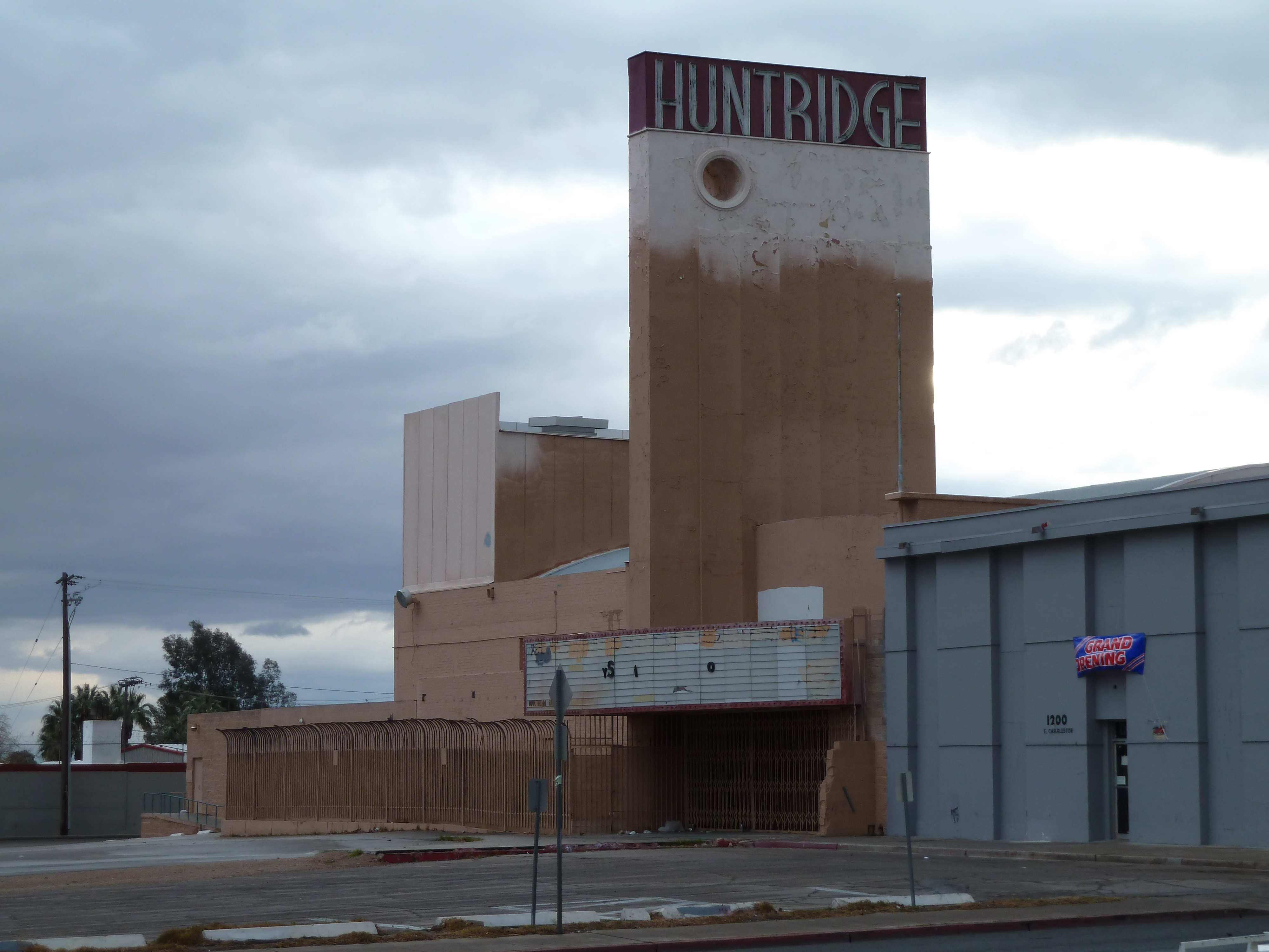
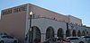
Huntridge Theater |
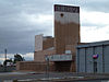 |
01993-07-22 July 22, 1993 |
1208 E. Charleston Boulevard
36°9′29″N 115°8′7″W / 36.15806°N 115.13528°W / 36.15806; -115.13528 (Huntridge Theater) |
Las Vegas |
|
| 22 |
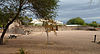
Kyle Ranch |
 |
01975-10-06 October 6, 1975 |
Losee St. and Carey Ave.
36°12′16″N 115°8′21″W / 36.20444°N 115.13917°W / 36.20444; -115.13917 (Kyle Ranch) |
North Las Vegas |
|
| 23 |
Las Vegas Grammar School |
 |
01988-05-20 May 20, 1988 |
400 Las Vegas Boulevard, S.
36°9′53″N 115°8′48″W / 36.16472°N 115.14667°W / 36.16472; -115.14667 (Las Vegas Grammar School) |
Las Vegas |
Also known as the Fifth Street School |
| 24 |
Las Vegas Grammar School |
 |
01979-04-02 April 2, 1979 |
Washington and D Sts.
36°10′53″N 115°8′43″W / 36.18139°N 115.14528°W / 36.18139; -115.14528 (Las Vegas Grammar School) |
Las Vegas |
Also known as Westside School |
| 25 |
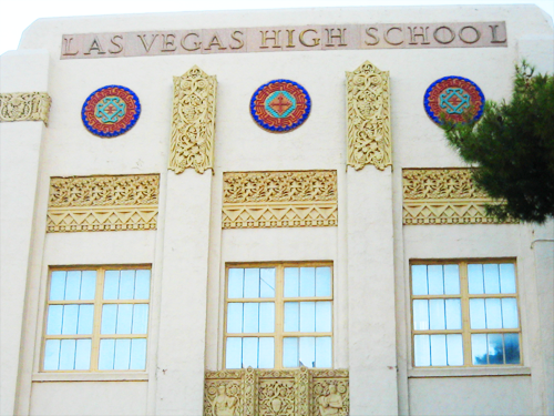
Las Vegas High School Academic Building and Gymnasium |
 |
01986-09-24 September 24, 1986 |
315 S. 7th St.
36°9′55″N 115°8′20″W / 36.16528°N 115.13889°W / 36.16528; -115.13889 (Las Vegas High School Academic Building and Gymnasium) |
Las Vegas |
|
| 26 |
Las Vegas High School Neighborhood Historic District |
|
01991-01-30 January 30, 1991 |
Roughly bounded by E. Bridger, S. 9th, E. Gass, and S. 6th Sts.
36°9′44″N 115°8′23″W / 36.16222°N 115.13972°W / 36.16222; -115.13972 (Las Vegas High School Neighborhood Historic District) |
Las Vegas |
|
| 27 |
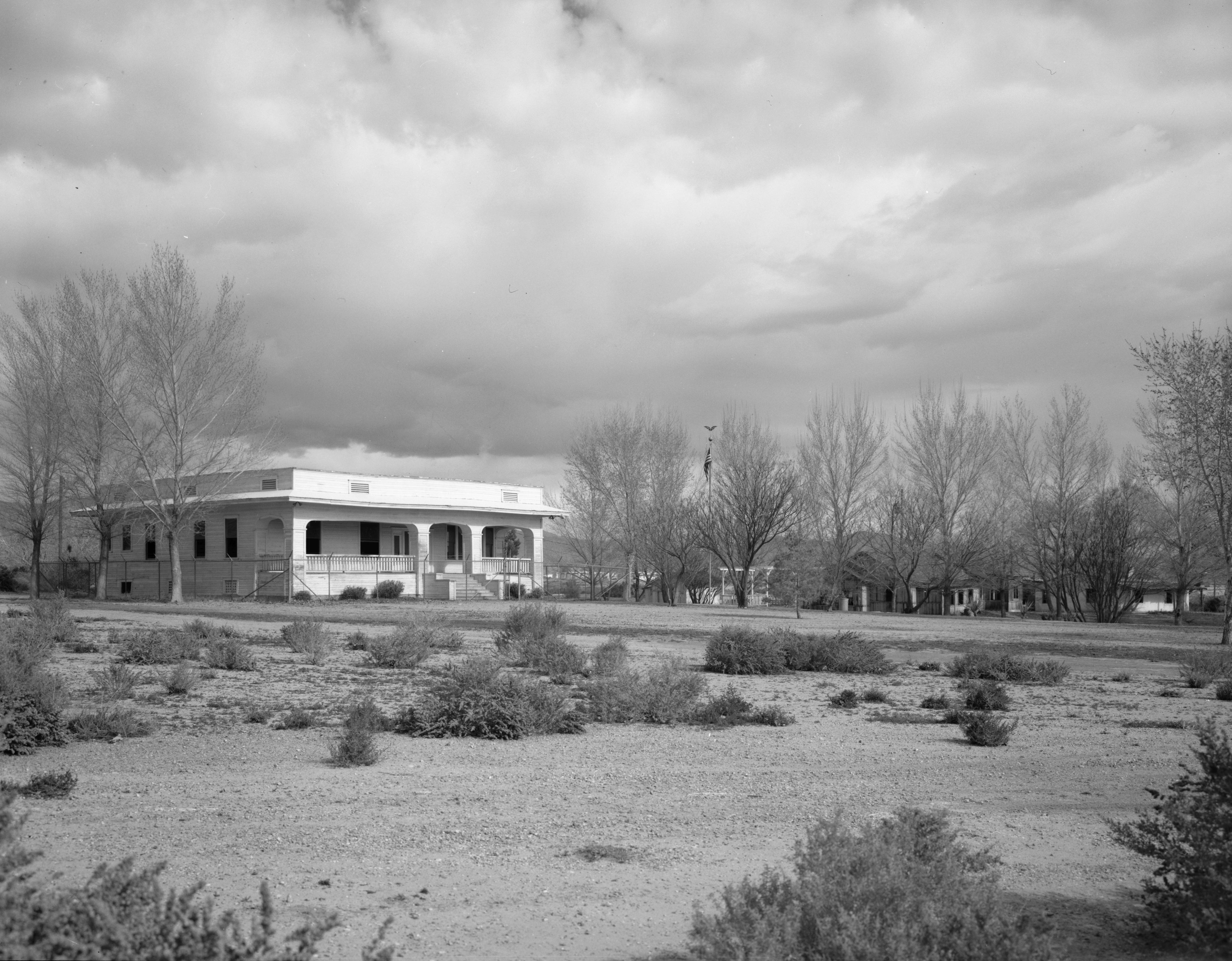
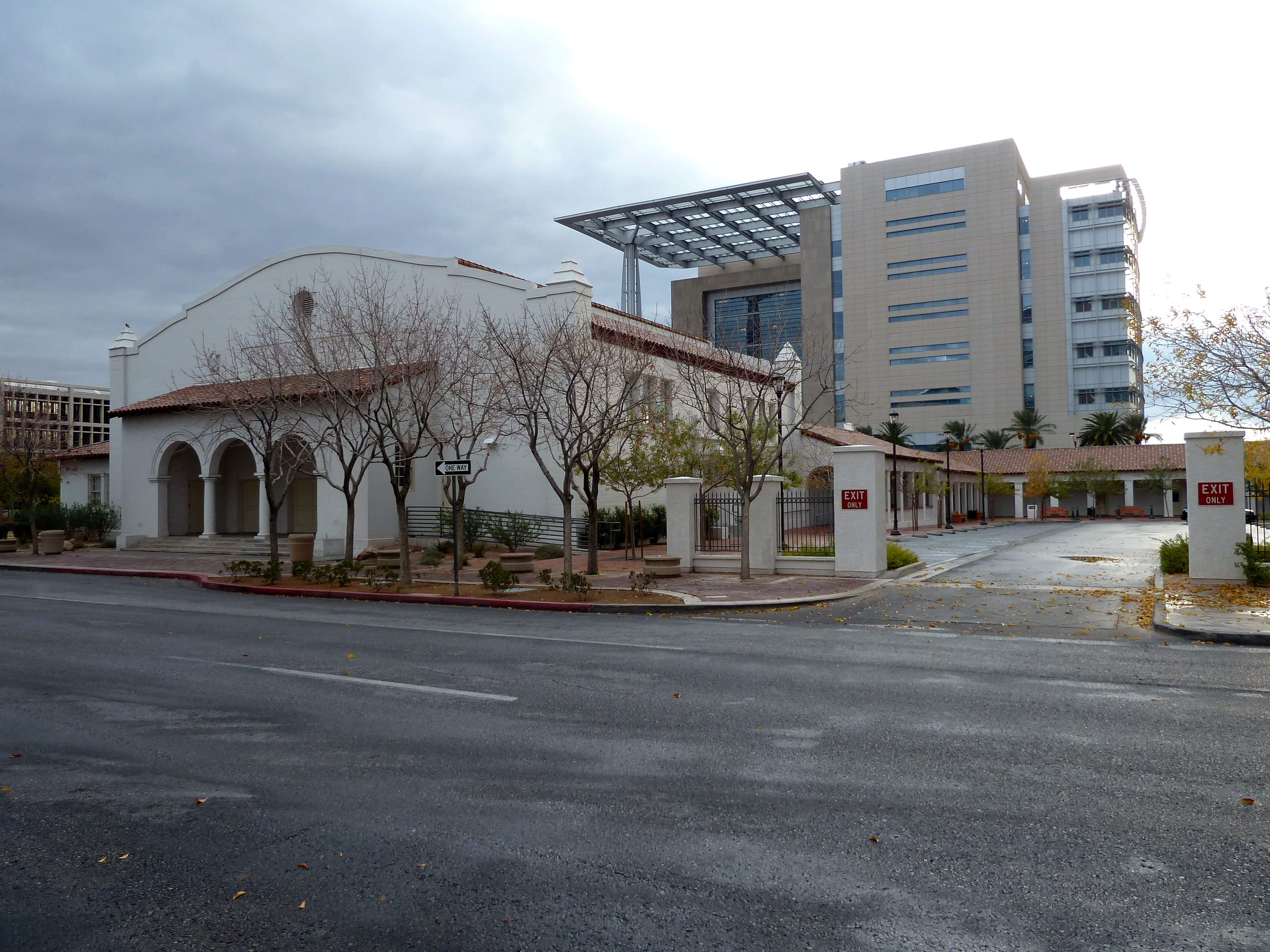
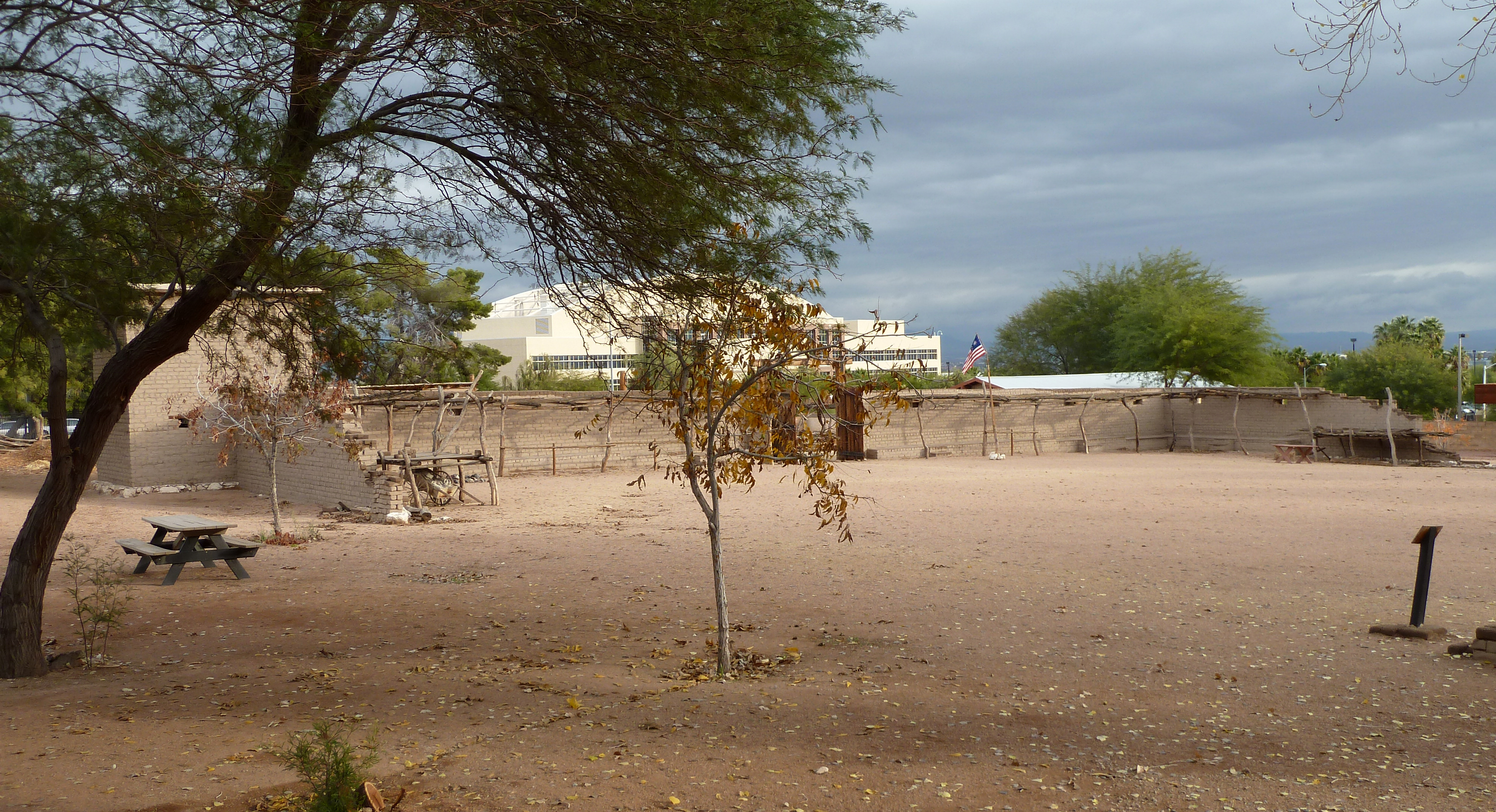
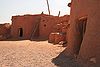
Las Vegas Mormon Fort |
 |
01972-02-01 February 1, 1972 |
900 Las Vegas Boulevard, N.
36°10′49″N 115°7′57″W / 36.18028°N 115.1325°W / 36.18028; -115.1325 (Las Vegas Mormon Fort) |
Las Vegas |
|
| 28 |
Las Vegas Springs |
 |
01978-12-14 December 14, 1978 |
Address Restricted |
Las Vegas |
|
| 29 |
LDS Moapa Stake Office Building |
|
02002-07-25 July 25, 2002 |
161 W. Virginia St.
36°32′25″N 114°26′37″W / 36.54028°N 114.44361°W / 36.54028; -114.44361 (LDS Moapa Stake Office Building) |
Overton |
|
| 30 |
Thomas Leavitt House |
|
01991-11-14 November 14, 1991 |
160 S. 1st W. St.
36°46′15″N 114°7′37″W / 36.77083°N 114.12694°W / 36.77083; -114.12694 (Leavitt, Thomas, House) |
Bunkerville |
|
| 31 |
Little Church of the West |
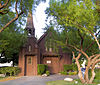 |
01992-09-14 September 14, 1992 |
4617 Las Vegas Boulevard, S.
36°5′10″N 115°10′19″W / 36.08611°N 115.17194°W / 36.08611; -115.17194 (Little Church of the West) |
Las Vegas |
Wedding chapel on Las Vegas strip |
| 32 |
Mesquite High School Gymnasium |
|
01992-03-10 March 10, 1992 |
144 E. N. 1st St.
36°48′18″N 114°3′18″W / 36.805°N 114.055°W / 36.805; -114.055 (Mesquite High School Gymnasium) |
Mesquite |
|
| 33 |
Mormon Well Spring |
|
01974-12-24 December 24, 1974 |
North of Las Vegas on Mormon Spring
36°38′39″N 115°5′45″W / 36.64417°N 115.09583°W / 36.64417; -115.09583 (Mormon Well Spring) |
Las Vegas |
|
| 34 |
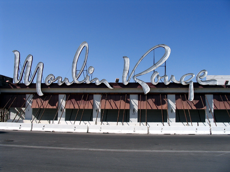
Moulin Rouge Hotel |
 |
01992-12-22 December 22, 1992 |
900 W. Bonanza Rd.
36°10′40″N 115°9′6″W / 36.17778°N 115.15167°W / 36.17778; -115.15167 (Moulin Rouge Hotel) |
Las Vegas |
Historic non-segregated hotel which was burned after listing; only the neon sign and facade remain |
| 35 |
Old Boulder City Hospital |
|
01982-04-01 April 1, 1982 |
701 Park Pl.
35°58′45″N 114°49′48″W / 35.97917°N 114.83°W / 35.97917; -114.83 (Old Boulder City Hospital) |
Boulder City |
|
| 36 |
Old Spanish Trail-Mormon Road Historic District |
|
02001-08-22 August 22, 2001 |
From the California border to Arizona across southern Nevada, through Las Vegas; also specifically near the junction of Interstate 15 and State Route 169
36°15′11″N 115°9′43″W / 36.25306°N 115.16194°W / 36.25306; -115.16194 (Spanish Trail, Old,--Mormon Road Historic District) |
Las Vegas and Moapa |
Junction address represents a boundary increase, added on March 21, 2008 |
| 37 |
Overton Gymnasium |
|
01992-03-10 March 10, 1992 |
N. W. Thomas St. west of its junction with S. Anderson St.
36°32′31″N 114°26′50″W / 36.54194°N 114.44722°W / 36.54194; -114.44722 (Overton Gymnasium) |
Overton |
|
| 38 |
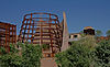
John S. Park Historic Park |
 |
02003-05-16 May 16, 2003 |
Roughly bounded by Charleston Boulevard, Las Vegas Boulevard, Franklin Ave., and S. 9th St.
36°9′24″N 115°8′40″W / 36.15667°N 115.14444°W / 36.15667; -115.14444 (Park, John S., Historic Park) |
Las Vegas |
|
| 39 |
Potosi |
|
01974-11-13 November 13, 1974 |
South of Las Vegas off Interstate 15 near Potosi Pass
35°58′0″N 115°32′37″W / 35.966667°N 115.54361°W / 35.966667; -115.54361 (Potosi) |
Las Vegas |
|
| 40 |
Pueblo Grande de Nevada |
|
01982-10-08 October 8, 1982 |
Southeast of Overton
36°29′27″N 114°22′21″W / 36.49083°N 114.3725°W / 36.49083; -114.3725 (Pueblo Grande de Nevada) |
Overton |
|
| 41 |
Railroad Cottage Historic District |
 |
01987-12-22 December 22, 1987 |
601-629 S. Casino Center
36°9′50″N 115°8′50″W / 36.16389°N 115.14722°W / 36.16389; -115.14722 (Railroad Cottage Historic District) |
Las Vegas |
All but one cottage destroyed or moved. |
| 42 |
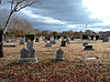
St. Thomas Memorial Cemetery |
|
02005-01-20 January 20, 2005 |
Magnasite Rd. off Moapa Valley Boulevard
36°31′14″N 114°26′6″W / 36.52056°N 114.435°W / 36.52056; -114.435 (St. Thomas Memorial Cemetery) |
Overton |
|
| 43 |
Sandstone Ranch |
|
01976-04-02 April 2, 1976 |
20 miles southwest of Las Vegas
36°4′4″N 115°27′30″W / 36.06778°N 115.45833°W / 36.06778; -115.45833 (Sandstone Ranch) |
Las Vegas |
|
| 44 |
Sheep Mountain Range Archeological District |
|
01974-12-31 December 31, 1974 |
Address Restricted |
Las Vegas |
|
| 45 |
Sloan Petroglyph Site |
 |
01978-12-19 December 19, 1978 |
Address Restricted
35°55′52.86″N 115°11′27.168″W / 35.93135°N 115.19088°W / 35.93135; -115.19088 (Sloan Petroglyph Site)[4] |
Henderson |
|
| 46 |
Jay Dayton Smith House |
 |
01987-02-20 February 20, 1987 |
624 S. 6th St.
36°9′40″N 115°8′39″W / 36.16111°N 115.14417°W / 36.16111; -115.14417 (Smith, Jay Dayton, House) |
Las Vegas |
|
| 47 |
Spirit Mountain |
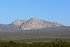 |
01999-09-08 September 8, 1999 |
North of Laughlin in the Lake Mead National Recreation Area
35°16′30″N 114°43′26″W / 35.275°N 114.72389°W / 35.275; -114.72389 (Spirit Mountain)[5] |
Laughlin |
|
| 48 |
Tim Springs Petroglyphs |
|
01974-12-16 December 16, 1974 |
Address Restricted |
Indian Springs |
|
| 49 |
Tule Springs Archeological Site |
|
01979-04-20 April 20, 1979 |
Address Restricted |
Las Vegas |
|
| 50 |
Tule Springs Ranch |
|
01981-09-23 September 23, 1981 |
9200 Tule Springs Rd.
36°19′14″N 115°16′1″W / 36.32056°N 115.26694°W / 36.32056; -115.26694 (Tule Springs Ranch) |
Las Vegas |
|
| 51 |
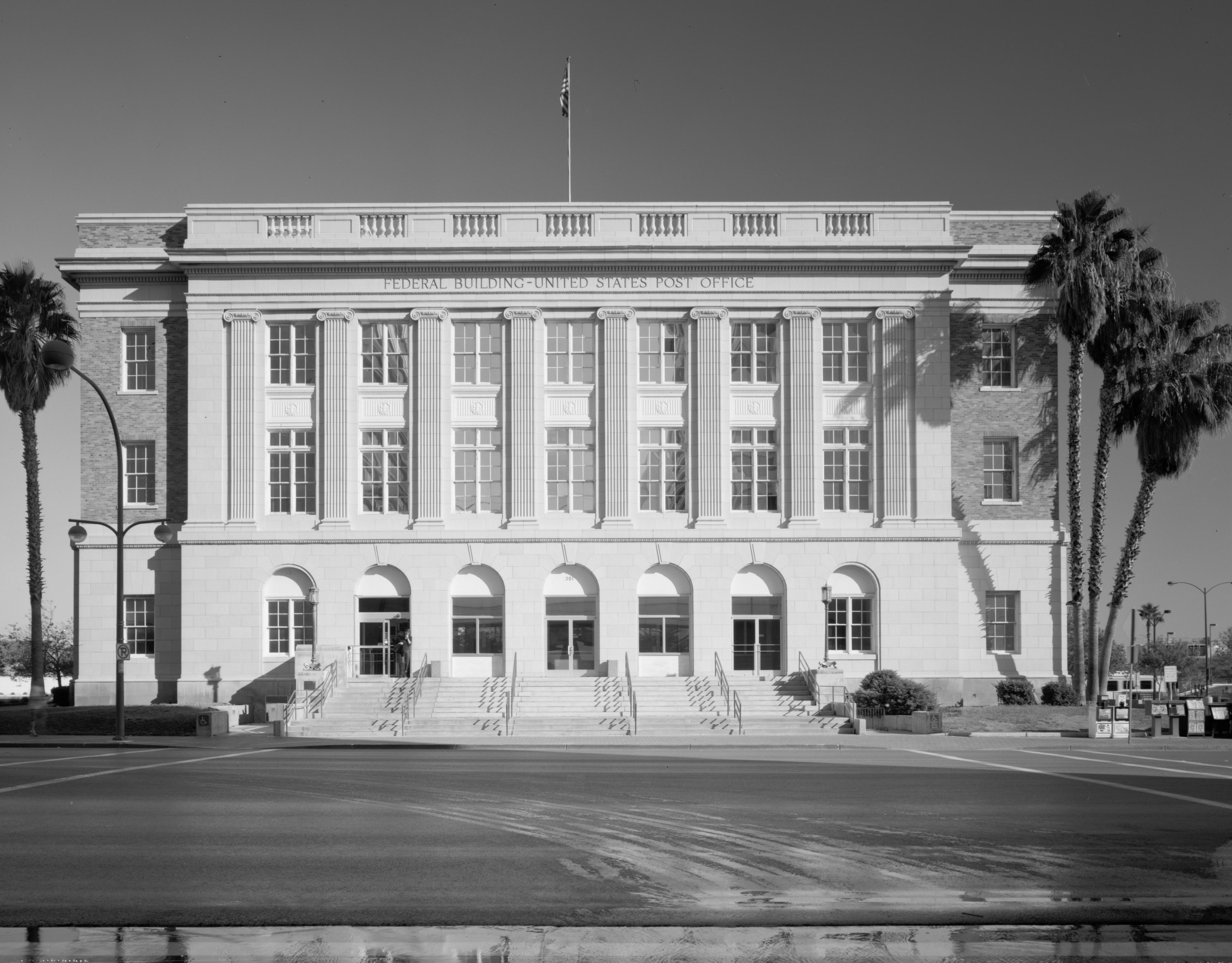
U.S. Post Office and Courthouse |
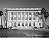 |
01983-02-10 February 10, 1983 |
300 E. Stewart Ave.
36°10′22″N 115°8′25″W / 36.17278°N 115.14028°W / 36.17278; -115.14028 (U.S. Post Office and Courthouse) |
Las Vegas |
|
| 52 |
Walking Box Ranch |
|
02009-01-30 January 30, 2009 |
6333 W. State Route 164
35°29′22.45″N 115°2′24.75″W / 35.4895694°N 115.0402083°W / 35.4895694; -115.0402083 (Walking Box Ranch) |
Searchlight |
|
| 53 |
Washington School |
 |
01992-03-10 March 10, 1992 |
1901 N. White St.
36°11′43″N 115°7′52″W / 36.19528°N 115.13111°W / 36.19528; -115.13111 (Washington School) |
North Las Vegas |
|
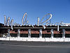
| 54 |
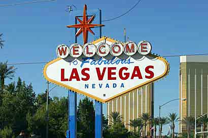
The "Welcome to Fabulous Las Vegas" Sign |
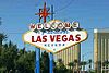 |
02009-05-01 May 1, 2009 |
Las Vegas Boulevard, in public right of way, approximately .5 miles (0.8 km) south of intersection with Russell Road
36°4′55.4″N 115°10′22″W / 36.082056°N 115.17278°W / 36.082056; -115.17278 (The "Welcome to Fabulous Las Vegas" Sign) |
Paradise |
|
| 55 |
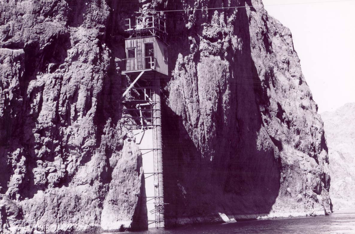
Willow Beach Gauging Station |
 |
01986-03-21 March 21, 1986 |
Lake Mead National Recreation Area
35°53′17″N 114°40′57″W / 35.88806°N 114.6825°W / 35.88806; -114.6825 (Willow Beach Gauging Station) |
Boulder City |
|
| 56 |
Woodlawn Cemetery |
 |
02006-11-21 November 21, 2006 |
1500 Las Vegas Boulevard, N.
36°11′15″N 115°7′43″W / 36.1875°N 115.12861°W / 36.1875; -115.12861 (Woodlawn Cemetery) |
Las Vegas |
|