- National Register of Historic Places listings in Clark County, Washington
-
List of entries on the National Register of Historic Places in Clark County, Washington
-
- This National Park Service list is complete through NPS recent listings posted November 10, 2011.[1]
Contents
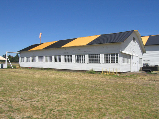
[2] Landmark name [3] Image Date listed Location City or town Summary 1 Amboy United Brethren Church December 4, 2008 21416 NE 399th St.
45°54′37″N 122°27′12″W / 45.9103°N 122.453247°WAmboy 2 Anderson-Beletski Prune Farm May 15, 1986 4119 N.W. McCann Rd.
45°43′02″N 122°42′44″W / 45.717222°N 122.712222°WVancouver 3 Arndt Prune Dryer October 4, 1979 SE of Ridgefield at 2109 NW 219th St.
45°46′44″N 122°41′31″W / 45.778889°N 122.691944°WRidgefield 4 Basalt Cobblestone Quarries District December 14, 1981 Ridgefield National Wildlife Refuge
45°50′31″N 122°45′55″W / 45.841944°N 122.765278°WRidgefield 5 Cedar Creek Grist Mill 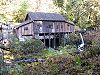
March 26, 1975 9 mi. E of Woodland on Cedar Creek
45°56′18″N 122°34′54″W / 45.938333°N 122.581667°WWoodland 6 Chumasero-Smith House April 7, 1998 310 W. 11th St.
45°37′50″N 122°40′22″W / 45.630556°N 122.672778°WVancouver 7 Covington House May 5, 1972 4201 Main St.
45°39′10″N 122°39′55″W / 45.652778°N 122.665278°WVancouver 8 Elks Building July 14, 1983 916 Main St.
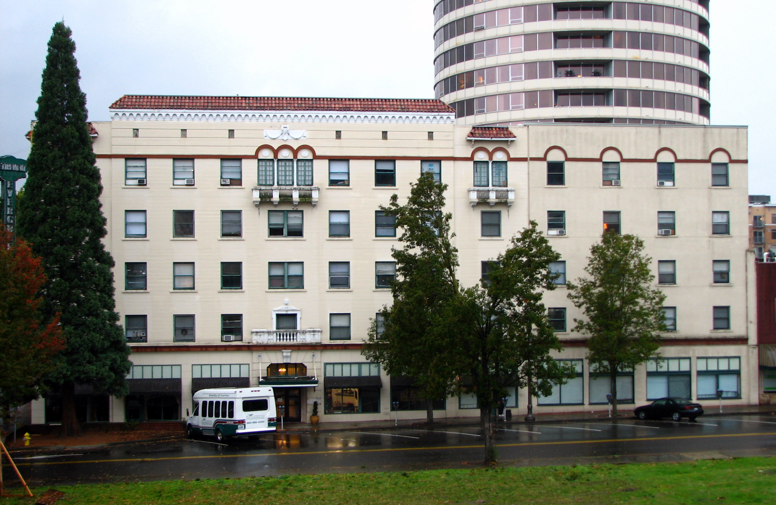
45°37′44″N 122°40′15″W / 45.628889°N 122.670833°WVancouver 9 Evergreen Hotel 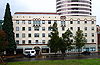
January 1, 1979 500 Main St.
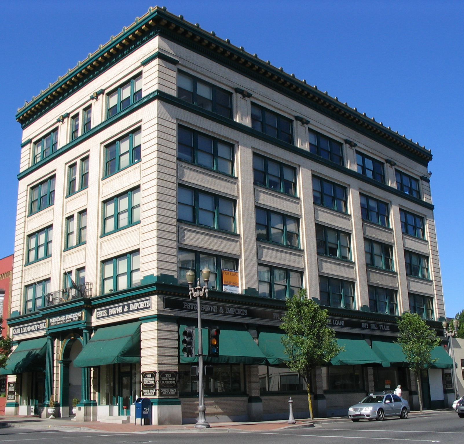
45°37′31″N 122°40′15″W / 45.625278°N 122.670833°WVancouver 10 Farrell Building 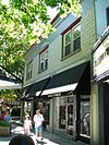
March 15, 2006 305 NE 4th Ave.
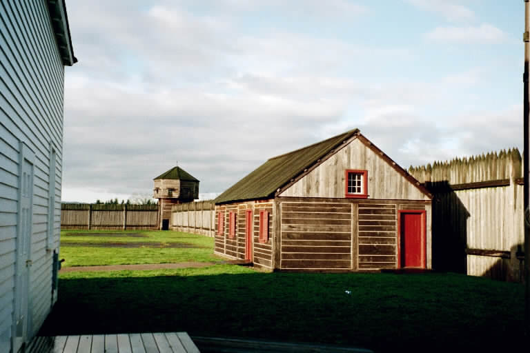
45°35′15″N 122°24′18″W / 45.5875°N 122.405°WCamas 11 Fort Vancouver National Historic Site 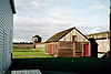
October 15, 1966 NE of Vancouver
45°37′24″N 122°39′35″W / 45.62333°N 122.65972°WVancouver 12 Glenwood School June 11, 1992 Jct. of NE. 87th Ave. and NE. 134th St., SE corner
45°43′06″N 122°34′55″W / 45.718333°N 122.581944°WGlenwood Rural Public Schools of Washington State MPS 13 Albert and Letha Green House and Barn February 19, 1982 25716 NE Lewisville Hwy.
45°48′33″N 122°32′48″W / 45.809167°N 122.546667°WBattle Ground 14 Henry Heisen House October 4, 1979 27904 NE 174th Ave.
45°49′30″N 122°29′33″W / 45.825°N 122.4925°WHeisson 15 Hidden Houses November 29, 1978 100 and 110 W. 13th St.
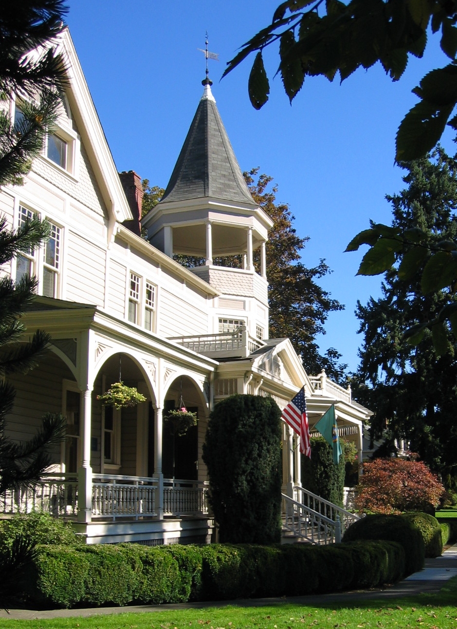
45°37′53″N 122°40′16″W / 45.631389°N 122.671111°WVancouver 16 House of Providence December 1, 1978 400 E. Evergreen Blvd.
45°37′47″N 122°40′01″W / 45.629722°N 122.666944°WVancouver 17 John P. and Mary Kiggins House June 30, 1995 411 E. Evergreen Blvd.
45°37′47″N 122°40′01″W / 45.629722°N 122.666944°WVancouver 18 Lambert School 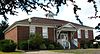
March 16, 1989 21814 NW 11th
45°46′47″N 122°40′55″W / 45.779722°N 122.681944°WRidgefield Rural Public Schools of Washington State MPS 19 Judge Columbia Lancaster House February 20, 1975 N of Ridgefield on Lancaster Rd.
45°51′48″N 122°44′52″W / 45.863333°N 122.747778°WRidgefield 20 Lewisville Park May 28, 1986 26411 N.E. Lewisville Hwy.
45°49′02″N 122°32′23″W / 45.817222°N 122.539722°WBattle Ground 21 Officers Row, Fort Vancouver Barracks 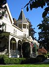
November 11, 1974 611-1616 E. Evergreen Blvd.
45°37′41″N 122°39′30″W / 45.628056°N 122.658333°WVancouver 22 Parkersville Site August 11, 1976 Address Restricted Camas 23 Pittock House July 3, 1979 N of Camas at 114 NE Leadbetter Rd.
45°37′21″N 122°25′42″W / 45.6225°N 122.428333°WCamas 24 Pomeroy Farm March 13, 1987 20902 N.E. Lucia Falls Rd.
45°50′27″N 122°27′30″W / 45.840833°N 122.458333°WYacolt 25 John Roffler House April 29, 1993 1437 NE. Everett St.
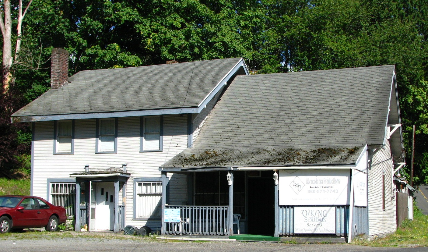
45°35′27″N 122°24′16″W / 45.590833°N 122.404444°WCamas 26 Sara Store 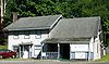
March 30, 1995 17903 NW. 41st Ave.
45°45′24″N 122°42′41″W / 45.756667°N 122.711389°WRidgefield 27 William Henry Shobert House October 4, 1979 621 Shobert Lane
45°48′40″N 122°44′21″W / 45.811111°N 122.739167°WRidgefield 28 Slocum House January 18, 1973 605 Esther St.
45°38′07″N 122°40′27″W / 45.635278°N 122.674167°WVancouver 29 John Stanger House May 17, 1990 9213 Evergreen Hwy.
45°36′23″N 122°34′38″W / 45.606389°N 122.577222°WVancouver 30 U.S. National Bank Building 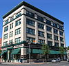
December 29, 1988 601 Main St.
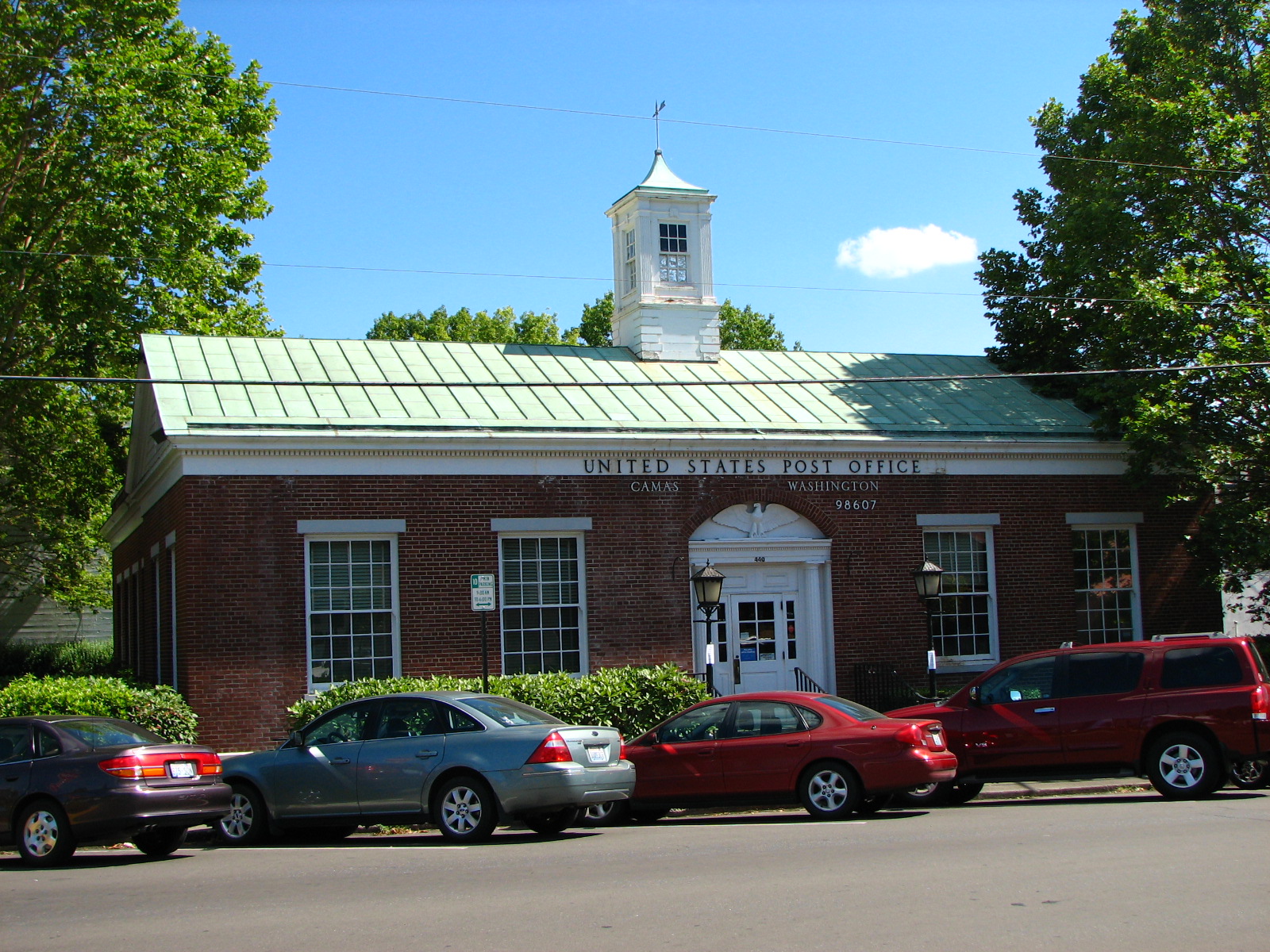
45°37′34″N 122°40′13″W / 45.626111°N 122.670278°WVancouver 31 US Post Office-Camas Main 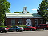
August 7, 1991 440 NE. Fifth Ave.
45°35′12″N 122°24′18″W / 45.586667°N 122.405°WCamas 32 US Post Office-Vancouver Main May 30, 1991 1211 Daniels
45°37′51″N 122°40′24″W / 45.630833°N 122.673333°WVancouver 33 Vancouver National Historic Reserve Historic District 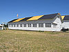
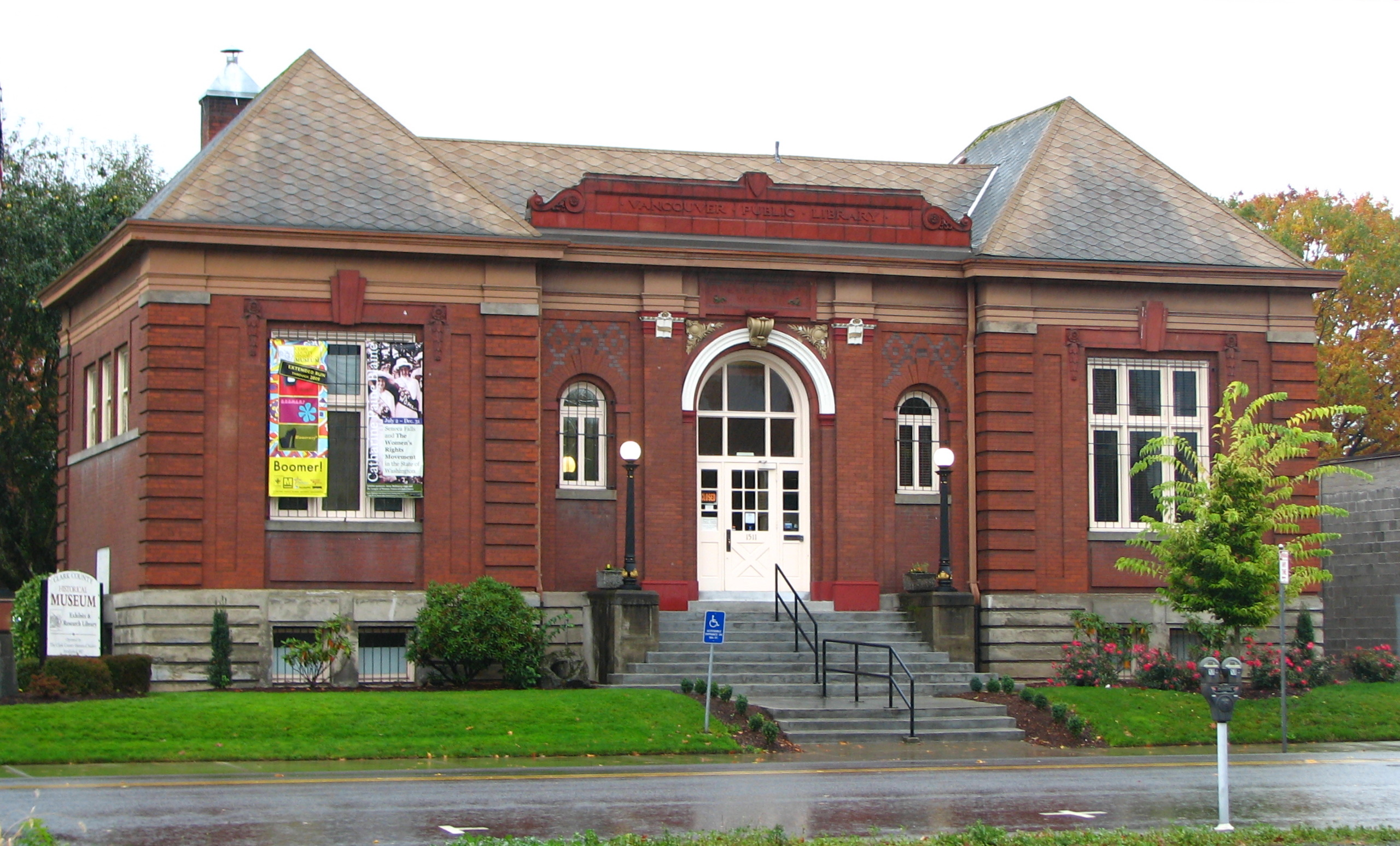
January 5, 2007 Roughly bounded by an alley N of Officers' Row, East Reserve St., Columbia River, and I-5 Vancouver 34 Vancouver Public Library 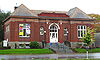
August 3, 1982 1511 Main St.
45°38′00″N 122°40′12″W / 45.633333°N 122.67°WVancouver Carnegie Libraries of Washington TR 35 Vancouver Telephone Building November 6, 1986 112 W. Eleventh
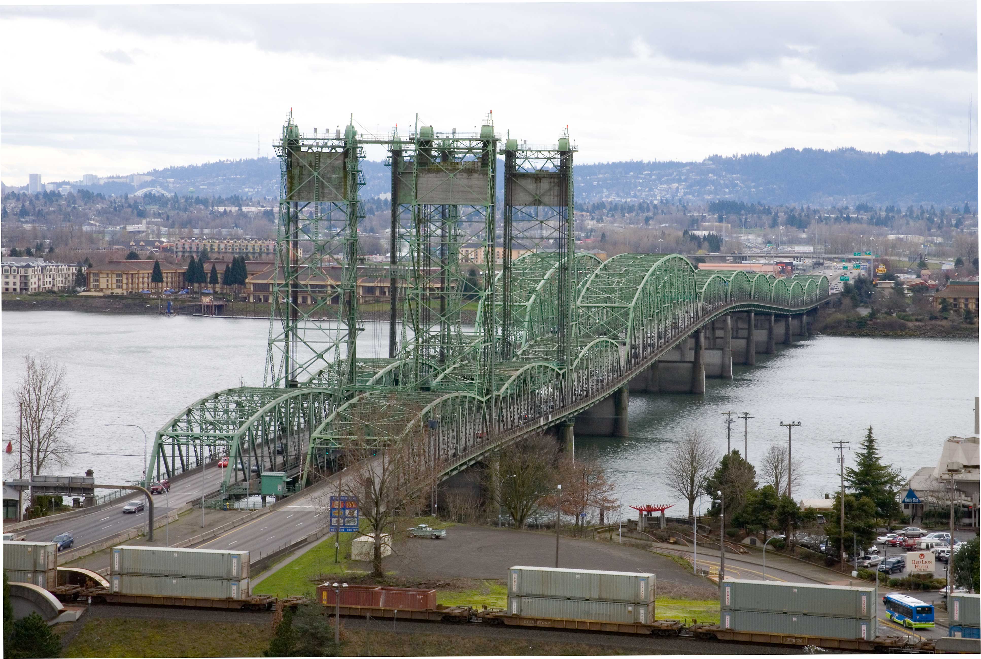
45°37′48″N 122°40′16″W / 45.63°N 122.671111°WVancouver 36 Vancouver-Portland Bridge 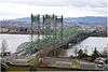
July 16, 1982 Spans Columbia River
45°36′24″N 122°40′51″W / 45.606667°N 122.680833°WVancouver Historic Bridges and Tunnels in Washington TR 37 Venersborg School March 16, 1989 NE 209th St at NE 242nd Ave.
45°46′24″N 122°25′21″W / 45.773333°N 122.4225°WBattle Ground Rural Public Schools of Washington State MPS 38 Washington School for the Blind May 14, 1993 2214 E. 13th St.
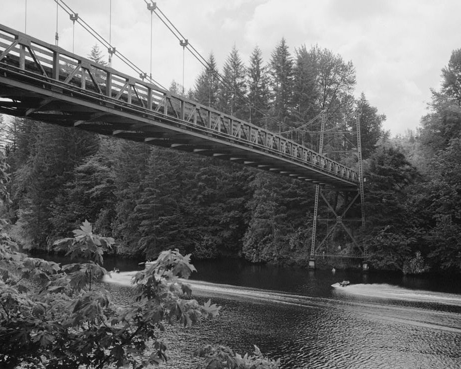
45°38′24″N 122°38′46″W / 45.64°N 122.646111°WVancouver 39 Yale Bridge 
July 16, 1982 Spans Lewis River on WA 502
45°57′40″N 122°22′18″W / 45.961111°N 122.371667°WYale Historic Bridges and Tunnels in Washington TR References
- ^ "National Register of Historic Places: Weekly List Actions". National Park Service, United States Department of the Interior. Retrieved on November 10, 2011.
- ^ Numbers represent an ordering by significant words. Various colorings, defined here, differentiate National Historic Landmark sites and National Register of Historic Places Districts from other NRHP buildings, structures, sites or objects.
- ^ "National Register Information System". National Register of Historic Places. National Park Service. . http://nrhp.focus.nps.gov/natreg/docs/All_Data.html.
U.S. National Register of Historic Places Topics Lists by states Alabama • Alaska • Arizona • Arkansas • California • Colorado • Connecticut • Delaware • Florida • Georgia • Hawaii • Idaho • Illinois • Indiana • Iowa • Kansas • Kentucky • Louisiana • Maine • Maryland • Massachusetts • Michigan • Minnesota • Mississippi • Missouri • Montana • Nebraska • Nevada • New Hampshire • New Jersey • New Mexico • New York • North Carolina • North Dakota • Ohio • Oklahoma • Oregon • Pennsylvania • Rhode Island • South Carolina • South Dakota • Tennessee • Texas • Utah • Vermont • Virginia • Washington • West Virginia • Wisconsin • WyomingLists by territories Lists by associated states Other Categories:- National Register of Historic Places in Washington (state) by county
- Clark County, Washington
-


Wikimedia Foundation. 2010.