- Tievebulliagh
-
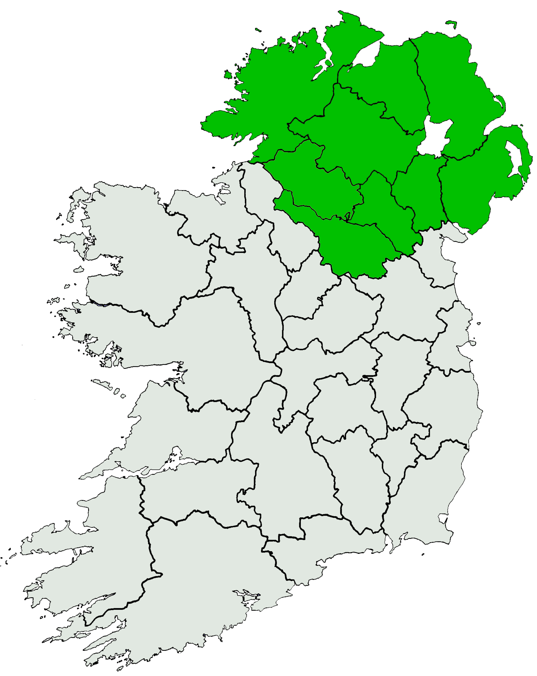
Tievebulliagh (Taobh Builleach) 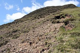
Tievebulliagh, May 2007. Fragments of porcellanite can be seen among the dolerite in the scree.Elevation 402 m (1,319 ft) Prominence c. 52 m Listing Marilyn Location Location County Antrim, Northern Ireland Range Antrim Plateau, Glens of Antrim Topo map OSNI Discoverer D5 OSI/OSNI grid D193268 Tievebulliagh (from the Irish: Taobh Builleach) is a 402m high mountain in the Glens of Antrim, Northern Ireland. It forms part of the watershed between Glenann to the north and Glenballyeamon to the south. It is situated about 4.4 km from Cushendall.[1]
Contents
Geology
Tievebulliagh is formed from a volcanic plug, the intense heat generated by molten basalt has given rise to the formation of a durable flint, porcellanite, which is found at the foot of the eastern scree slope of the mountain.[2] Three small outcrops of porcellanite can be seen on the higher south-east slope.[1]
Archaeology
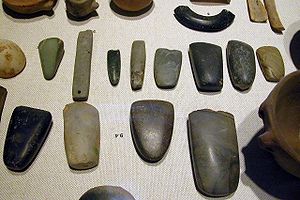 An array of Neolithic artifacts, including bracelets, axe heads, chisels, and polishing tools.
Evidence has been discovered of a Neolithic axe quarry at the foot of Tievebulliagh.[3] Flint axe heads fashioned from porcellanite that originate from this quarry have been found across the British Isles, from the Outer Hebrides to the south coast of England and across the rest of Ireland.[4] The site compares with the Langdale axe industry based in the English Lake District and the quarries at Penmaenmawr in North Wales, where large numbers of stone axes were manufactured.
Flakes, rejects and part-finished axes can still be found round the hill and peak. It was here that the axes were roughed out before being finished at the sea shore. They were then exported as far afield as south-west Ireland, south-east England and north-east Scotland. No finished axes have been found, only unfinished and rejected ones.[1]
There is a Bronze Age cairn on the mountain top. The round cairn and Neolithic axe factory on Tievebulliagh are Scheduled Historic Monuments sited in the townland of Cloghs, in Moyle District Council area, at grid ref: area of D193 266.[5]
See also
References
- ^ a b c Weir, A (1980). Early Ireland. A Field Guide. Belfast: Blackstaff Press. p. 96.
- ^ Habitas Website
- ^ The Megalithic Portal
- ^ Viney, M. (2003) Ireland. Blackstaff Press. Belfast. ISBN 0-85640-744-5
- ^ "Cloghs (Tievebulliagh)". Environment and Heritage Service NI - Scheduled Historic Monuments. http://www.ehsni.gov.uk/scheduled_monuments1to31mar07.pdf. Retrieved 2007-12-03.
Mountains and hills of Ulster List of mountains in Ireland Antrim Hills Slemish • Tievebulliagh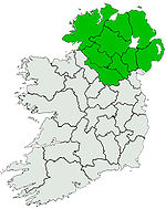
Antrim Plateau Belfast Hills Croaghgorms Derryveagh Inishowen Mournes Sperrins Southwest Donegal Others Coordinates: 55°04′27″N 6°07′59″W / 55.07419°N 6.13302°W

This article relating to archaeology in the United Kingdom is a stub. You can help Wikipedia by expanding it.