- Croaghgorm
-
Croaghgorm Cruach Ghorm 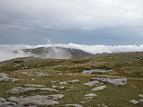
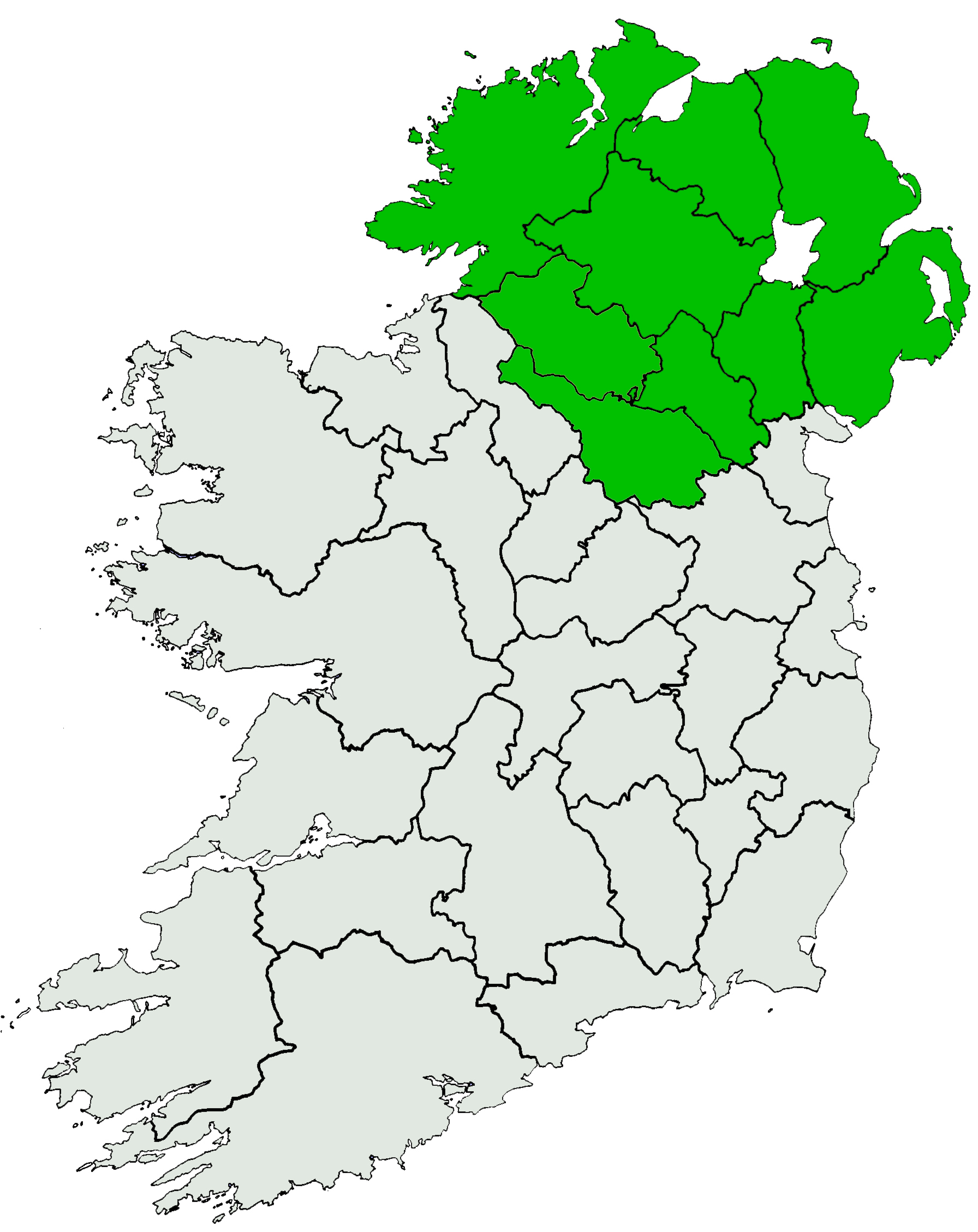
Summit of CroaghgormElevation 674 m (2,211 ft) [1][2] Prominence 541 m (1,775 ft) [1] Listing Marilyn, Hewitt Translation blue stack (Irish) Location Location County Donegal, Republic of Ireland Range Bluestack Mountains Coordinates 54°45′15″N 8°04′52″W / 54.754171°N 8.081031°WCoordinates: 54°45′15″N 8°04′52″W / 54.754171°N 8.081031°W OSI/OSNI grid G948895 Croaghgorm or Bluestack (from Irish: an Chruach Gorm, meaning "the blue stack")[1] is a 674 m (2,211 ft) mountain in County Donegal, Ireland. It is the highest of the Bluestack Mountains (aka the Croaghgorms) and the third-highest mountain in County Donegal.[1]
On 31 January 1944, during World War II, a Royal Air Force (RAF) Sunderland plane crashed on the mountain. Seven RAF crewmen from 228 Squadron were killed. Wreckage from the plane can still be seen on the mountain's slopes. A memorial plaque was unveiled in 1988.[1]
See also
References
Mountains and hills of Ulster List of mountains in Ireland Antrim Hills 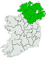
Antrim Plateau Belfast Hills Croaghgorms CroaghgormDerryveagh Inishowen Mournes Sperrins Southwest Donegal Others Categories:- Hewitts of Ireland
- Marilyns of Ireland
- Mountains and hills of County Donegal

Wikimedia Foundation. 2010.