- Mount Errigal
-
Errigal An Earagail 
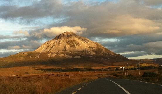
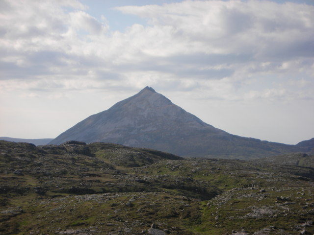
A view of Errigal from Gweedore.Elevation 751 m (2,464 ft) [1][2] Prominence 688 m (2,257 ft) [1] Listing Marilyn, Hewitt Location Location County Donegal, Republic of Ireland Range Derryveagh Mountains Topo map OSi Discovery 1 OSI/OSNI grid B928207 Mount Errigal, or simply Errigal (Irish: An Earagail, possibly meaning "oratory")[1] is a 751 metres (2,464 ft) mountain near Gweedore in County Donegal, Republic of Ireland.[1] It is the tallest peak of the Derryveagh Mountains, the tallest peak in County Donegal, and the 76th tallest peak in Ireland.[1] Errigal is also the most southern, steepest and highest of the mountain chain, called the "Seven Sisters" by locals. The Seven Sisters includes Muckish, Crocknalaragagh, Aghla Beg, Ardloughnabrackbaddy, Aghla More, Mackoght and Errigal. The nearest peak is Mackoght, which is also known as Little Errigal or Wee Errigal (Irish: an Earagail Bheag).
Errigal is well-known for the pinkish glow of its quartzite in the setting sun.[1] Another noted quality is the ever-changing shape of the mountain depending on what direction you view it from. Errigal was voted 'Ireland's Most Iconic Mountain' by Walking & Hiking Ireland in 2009.[3]
Contents
Climbing Errigal
The mountain is most often climbed from the carpark off the R251 road. The route initially crosses heavily eroded and boggy land towards a visible track through the shiny scree from where the ascent proper starts. After reaching the summit, people usually walk the short but exposed walk along ‘One Man’s Pass’ which leads across to the second and lower of the twin summits. No special equipment is needed to climb the mountain, but caution is advised.
In popular culture
- In the 2008 film Hunger, the main protagonist Bobby Sands describes Errigal as a "beautiful sight".
- Images of a misty Errigal were used in the music video for In A Lifetime by Clannad and Bono in 1985.[4]
- Several scenes from the 2011 movie Your Highness were shot on Errigal.[5]
- The Goats Don't Shave song "Las Vegas (In the Hills of Donegal)" contains the line, "To stand on top of Errigal, would give me such a thrill".
Coordinates: 55°01′59″N 8°06′43″W / 55.033°N 8.112°W
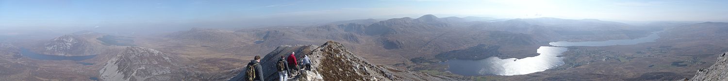 Panoramic view of Errigal's summit.
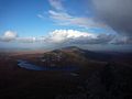
Gallery
-
The view from Errigal.
-
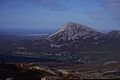
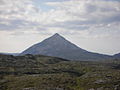
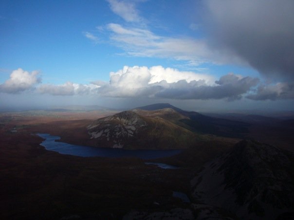
Errigal as seen from Slieve Snaght.
-
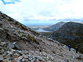
Ascending Mount Errigal.
-

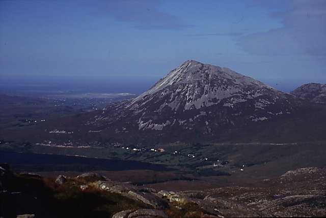
Errigal as seen from The Rosses.
-
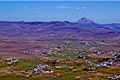
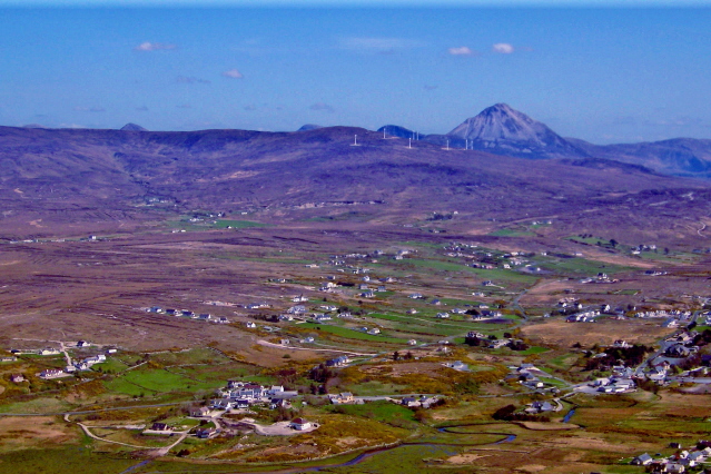
An aerial view of Errigal and Gweedore.
-
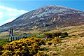
Derelict church at the foot of Errigal.
-
Errigal as seen from Cloughaneely.
References
- ^ a b c d e f MountainViews
- ^ Peakbagger
- ^ http://www.walkingandhikingireland.com/?p=3
- ^ http://www.clannad.net/concertoverview.htm
- ^ http://homepage.eircom.net/~weebinnians2/webpages/Newsletters/Newsletter%2020090913_FestivalEdition.htm
External links
 Media related to Errigal at Wikimedia Commons
Mountains and hills of Ulster List of mountains in Ireland Antrim Hills 
Antrim Plateau Belfast Hills Croaghgorms Derryveagh Seven Sisters: Aghla Beg • Aghla More • Ardloughnabrackbaddy •
Crocknalaragagh • Errigal • Mackoght • MuckishInishowen Mournes Sperrins Southwest Donegal Others Categories:- Untranslated Irish place names
- Marilyns of Ireland
- Hewitts of Ireland
- Mountains and hills of County Donegal
- Gweedore


Wikimedia Foundation. 2010.