- Mullaghmore (marilyn)
-
Mullaghmore an Mullach Mór 
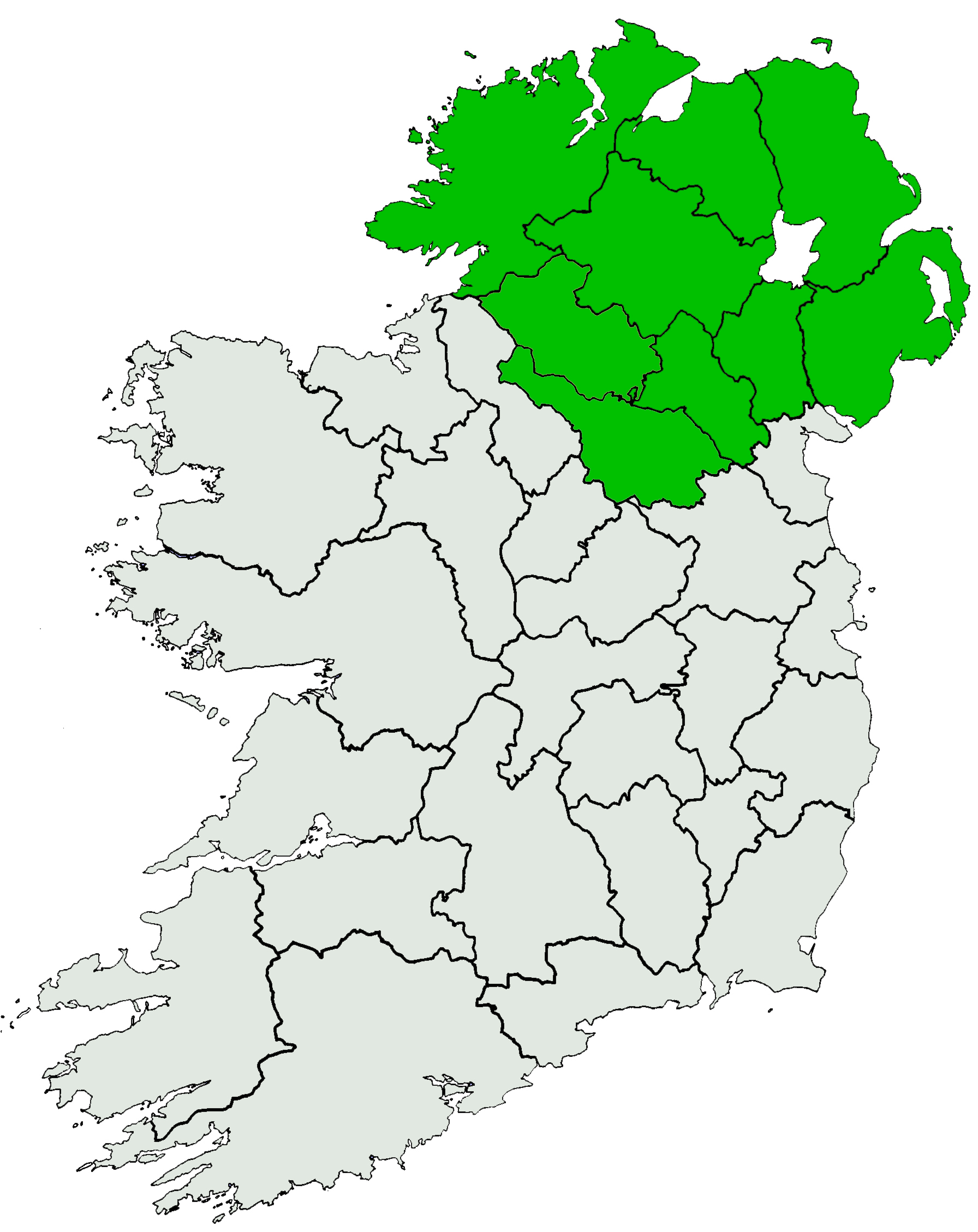
Elevation 550 m (1,804 ft) Prominence 235 m (771 ft) Listing Marilyn Location Location County Londonderry, Northern Ireland Range Sperrin Mountains Topo map OSNI Discoverer Series 8 (1:50000) OSI/OSNI grid C739008 Mullaghmore (from Irish: an Mullach Mór meaning "the big summit")[1] is a mountain in County Londonderry, Northern Ireland. It is part of the Sperrins and the 359th highest mountain in Ireland[2] The summit is dominated by a large telecommunication tower. The mountain is located north of the village of Draperstown.
References
- ^ Placenames Database of Ireland
- ^ "MountainViews". MountainViews website. http://mountainviews.ie/mv/index.php?mtnindex=359. Retrieved 2010-02-09.
Mountains and hills of Ulster Antrim Hills 
Antrim Plateau Belfast Hills Croaghgorms Derryveagh Inishowen Mournes Sperrins Southwest Donegal Others Coordinates: 54°52′N 6°50′W / 54.867°N 6.833°W
Categories:- Mountains and hills of County Londonderry
- Marilyns of Northern Ireland
- County Londonderry geography stubs

Wikimedia Foundation. 2010.