- Muckish
-
Muckish Mucais / an Mhucais 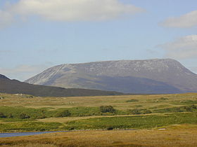
Elevation 666 m (2,185 ft) [1] Prominence 522 m (1,713 ft) [1] Listing Marilyn, Hewitt Location Location County Donegal, Republic of Ireland Range Derryveagh Mountains Topo map OSi Discovery 2 OSI/OSNI grid C004287 Muckish (Irish: Mucais / an Mhucais, meaning "[the] pig's back")[1] is a distinctive flat-topped mountain in the Derryveagh Mountains of County Donegal, Republic of Ireland. At 666 metres (2,185 ft), it is the third-highest peak in the Derryveagh Mountains and the 163rd highest in Ireland.[1] Muckish is also the most northern and second highest of the mountain chain called the "Seven Sisters" by locals. The Seven Sisters includes: Muckish, Crocknalaragagh, Aghla Beg, Ardloughnabrackbaddy, Aghla More, Mackoght and Errigal.
High-grade quartz sand was mined on the flanks of the mountain, and the remains of the quarry workings can be seen on its northern side.[1] The "Miner's Path" is a route to the summit up the northern side of the mountain. Part of this route follows the path used by the workers to reach the quarry. The sand was exported and was mainly used in the manufacture of optical glass. A less difficult route to the summit begins from the Muckish Gap on the southern side of the mountain.
A large cairn, visible from sea level, can be found on the summit plateau. In 2000, a large metal cross was placed on the summit, replacing a wooden one that had been destroyed in a storm. The new cross was placed much closer to the northern end of the mountain, while the cairn is towards the south.
Falcarragh, Dunfanaghy and Creeslough are the villages nearest to Muckish. On the Falcarragh side lies Mám na Mucaise ("gap of Muckish") in which one finds Droichead na nDeor ("bridge of tears"). It was from this bridge that many thousands of Cloughaneely emigrants bade farewell to family members. Percy French, the famous poet, visited the district at the beginning of the last century and while in Falcarragh Hotel he wrote a poem called An Irish Mother.
Gallery
-

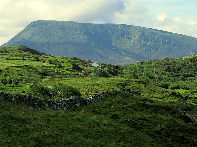
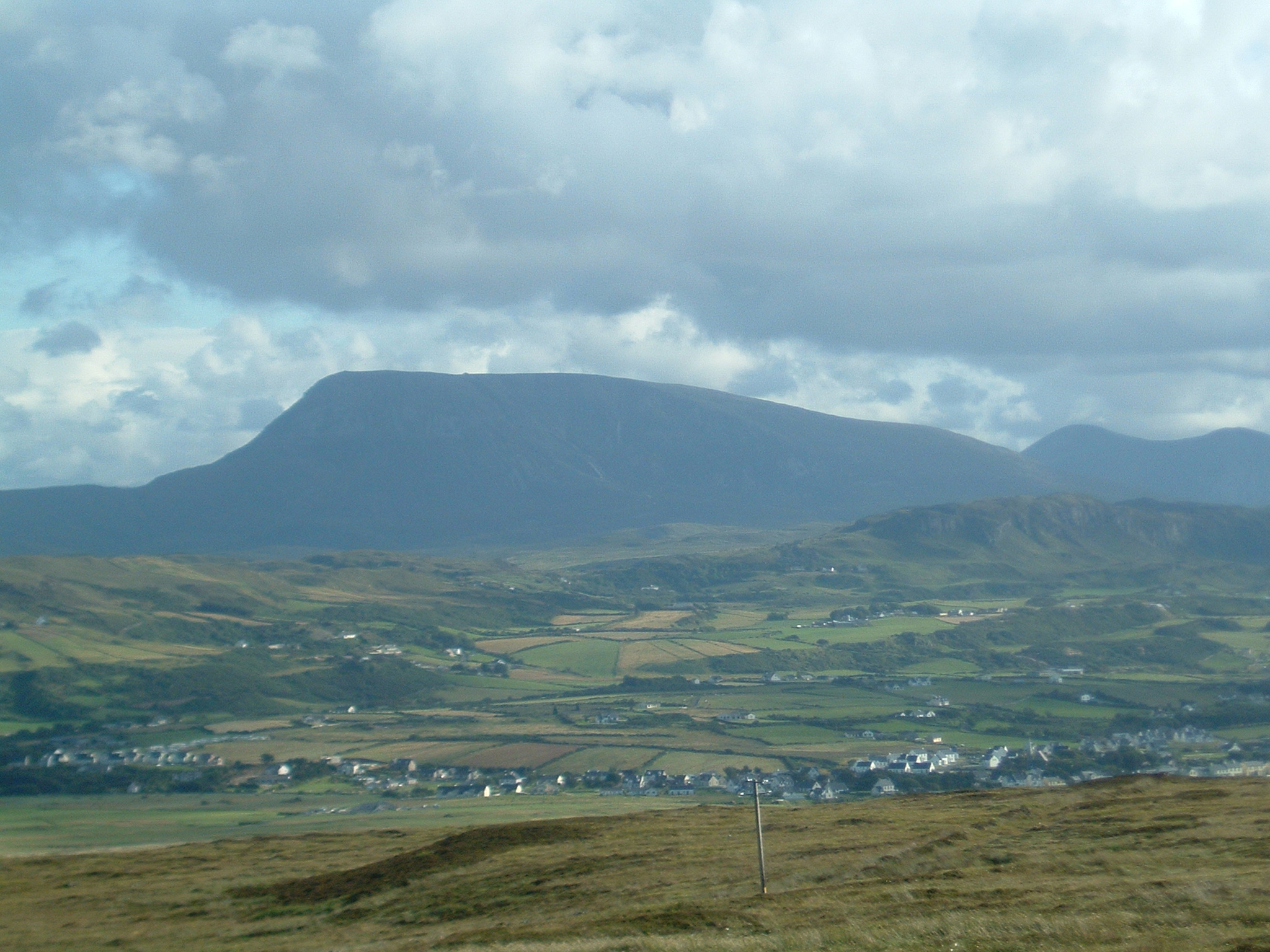
Muckish from Roshin, near Croaghaderry
-
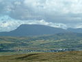
Muckish from Horn Head
-

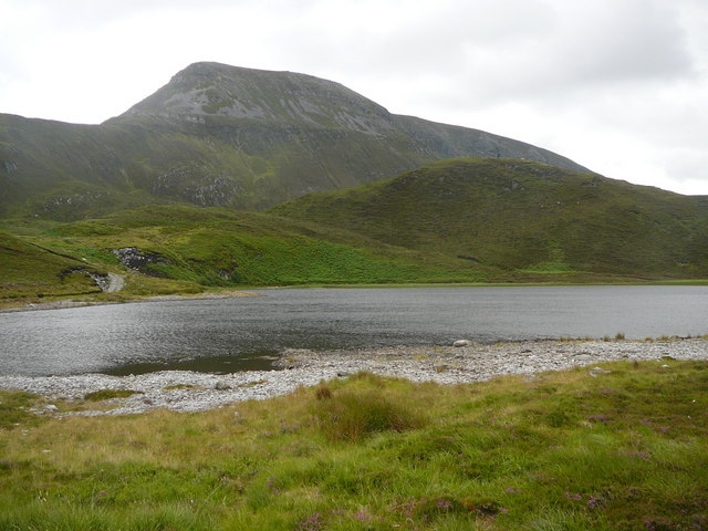
Muckish from Lough Naboll
References
External links
Coordinates: 55°06′20″N 7°59′40″W / 55.105550°N 7.994523°W
Mountains and hills of Ulster List of mountains in Ireland Antrim Hills 
Antrim Plateau Belfast Hills Croaghgorms Derryveagh Seven Sisters: Aghla Beg • Aghla More • Ardloughnabrackbaddy •
Crocknalaragagh • Errigal • Mackoght • MuckishInishowen Mournes Sperrins Southwest Donegal Others Categories:- Marilyns of Ireland
- Mountains and hills of County Donegal
- Hewitts of Ireland
-

Wikimedia Foundation. 2010.