- Mullaghcarn
-
Mullaghcarn Mullach Cairn 
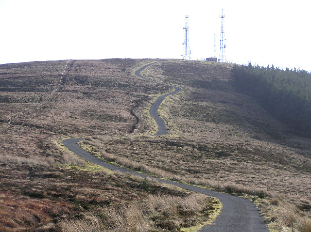
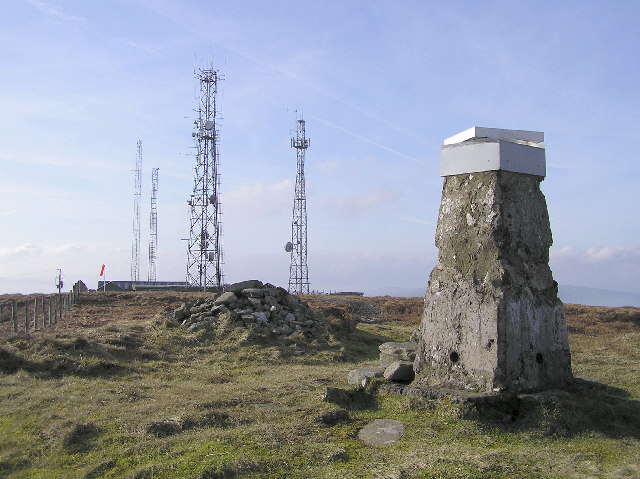
Near the summit of MullaghcarnElevation 542 m (1,778 ft) Listing Marilyn Translation peak of the cairns (Irish) Location Location in Northern Ireland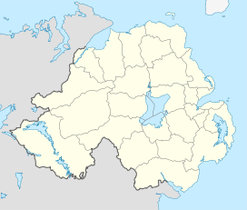

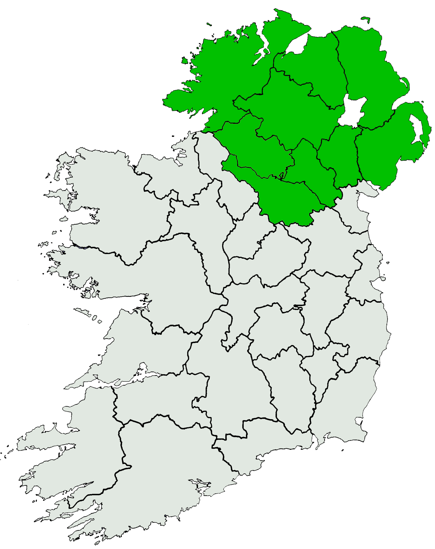
Location County Tyrone, Northern Ireland Range Sperrins Coordinates 54°40′0″N 7°12′0″W / 54.666667°N 7.2°WCoordinates: 54°40′0″N 7°12′0″W / 54.666667°N 7.2°W Topo map OSNI Discoverer 13 OSI/OSNI grid H5180 Mullaghcarn (from Irish: Mullach Cairn, meaning "peak of the cairns"[1][2]) is a mountain in the southwest Sperrins, County Tyrone, Northern Ireland. The peak reaches a height of 542 m (1778 ft),[3] and is the 370th highest in Ireland.[4] Mullaghcarn is in Omagh District Council, on the edge of Gortin Glen Forest Park, and is the most southerly peak in the Sperrins.[4] It is 5 miles (8.0 km) northeast of Omagh,[5] and is 3.1 miles (5.0 km) south of Gortin.
Contents
Nature
Mullaghcarn is steep, and has a rocky summit. The west of the mountain is home to conifers.[6] "Acid" grassland is the most common on Mullaghcarn, and peat is not especially common, due to the draining of the eastern mountain. Heather is most common on the northern slopes. The Red Grouse can be found on heathland around Mullaghcarn.[7]
History
Mullaghcarn was home to firing ranges during World War II. These were used by the police and US Army soldiers stationed in the area.[8]
Gallery
-
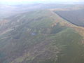
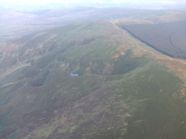
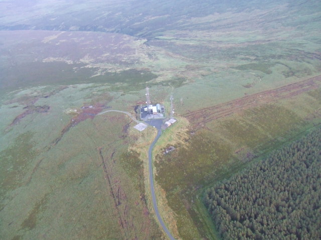
The summit of Mullaghcarn from above
-
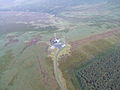
The summit of Mullaghcarn from above
References
- ^ Placenames Database of Ireland
- ^ Mills, A. D. (2003). A Dictionary of British Place-Names. Oxford University Press. http://www.oxfordreference.com/views/ENTRY.html?subview=Main&entry=t40.e9617. Retrieved 2009-01-20.
- ^ "Omagh". Encyclopaedia Britannica. 2009. http://www.britannica.com/EBchecked/topic/428184/Omagh. Retrieved 2009-01-20.
- ^ a b "Mullaghcarn". MountainViews. http://mountainviews.ie/mv/index.php?mtnindex=371. Retrieved 2009-01-20.
- ^ The Parliamentary Gazetteer of Ireland. A Fullarton and Co.. 1846. pp. 440. http://books.google.co.uk/books?id=RRRBxFTucEsC&pg=PA440&dq=%22mullaghcarn%22. Retrieved 2009-01-20.
- ^ "Bessy Bell and Gortin Landscape". Northern Ireland Environment Agency. http://www.ni-environment.gov.uk/landscape/country_landscape/26/26-land.htm. Retrieved 2009-01-20.
- ^ "Bessy Bell and Gortin Biodiversity Profile". Northern Ireland Environment Agency. http://www.ni-environment.gov.uk/landscape/country_landscape/26/26-bio.htm. Retrieved 2009-01-20.
- ^ "Your Place and Mine - Fecarry Range". BBC.co.uk. British Broadcasting Corporation. http://www.bbc.co.uk/northernireland/yourplaceandmine/tyrone/A845976.shtml. Retrieved 2009-01-20.
Mountains and hills of Ulster List of mountains in Ireland Antrim Hills 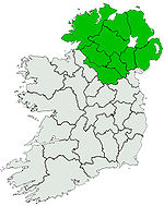
Antrim Plateau Belfast Hills Croaghgorms Derryveagh Inishowen Mournes Sperrins Southwest Donegal Others Categories:- County Tyrone geography stubs
- Mountains and hills of County Tyrone
- Marilyns of Northern Ireland
-

Wikimedia Foundation. 2010.