- Omagh District Council
-
Coordinates: 54°36′00″N 7°17′53″W / 54.600°N 7.298°W
Omagh District 
Coat of ArmsGeography 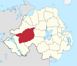
Area
- TotalRanked 2nd of 26
1,130 km²Admin HQ Omagh ISO 3166-2 GB-OMH ONS code 95K Demographics Population
- Total (2010)
- DensityRanked 17th
52,900
47 / km²Community Catholic: 69.1%
Protestant: 29.7%Politics Control No overall control
Sinn Féin: 10
DUP: 3
SDLP: 3
UUP: 3
Independents: 2MLAs West Tyrone
Sinn Féin: 3
DUP: 1
SDLP: 1
UUP: 1MPs Pat Doherty (Sinn Féin) Meeting place 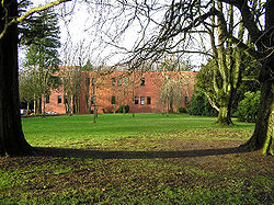 Omagh District Council Headquarters, Mountjoy Road
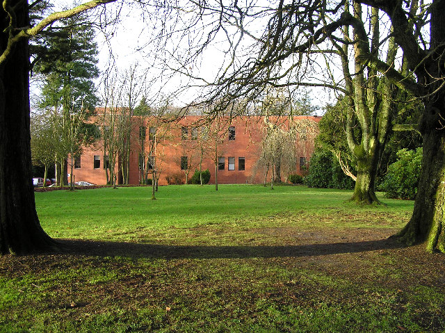
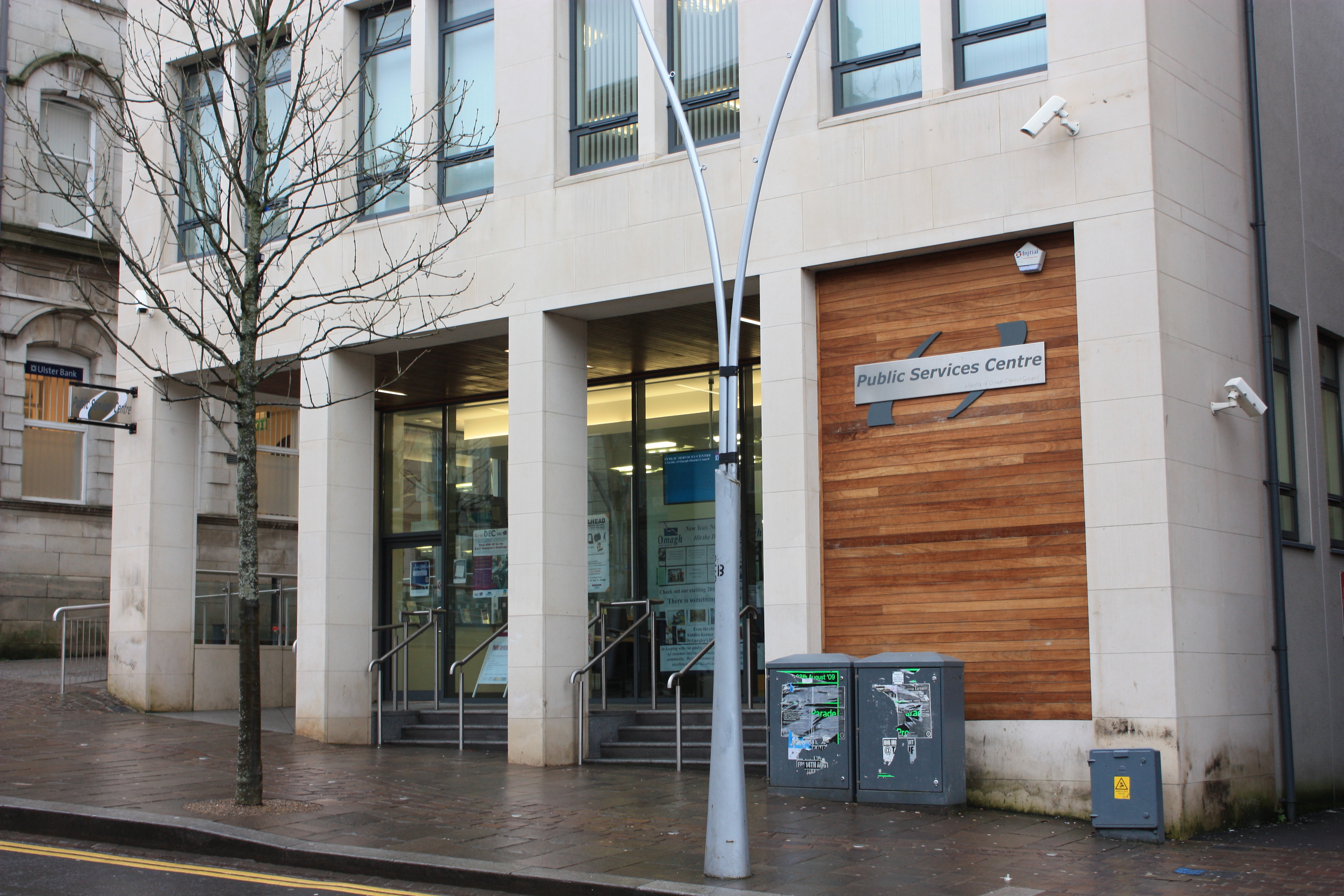
Website http://www.omagh.gov.uk  Public Services Centre, High Street, Omagh, January 2010
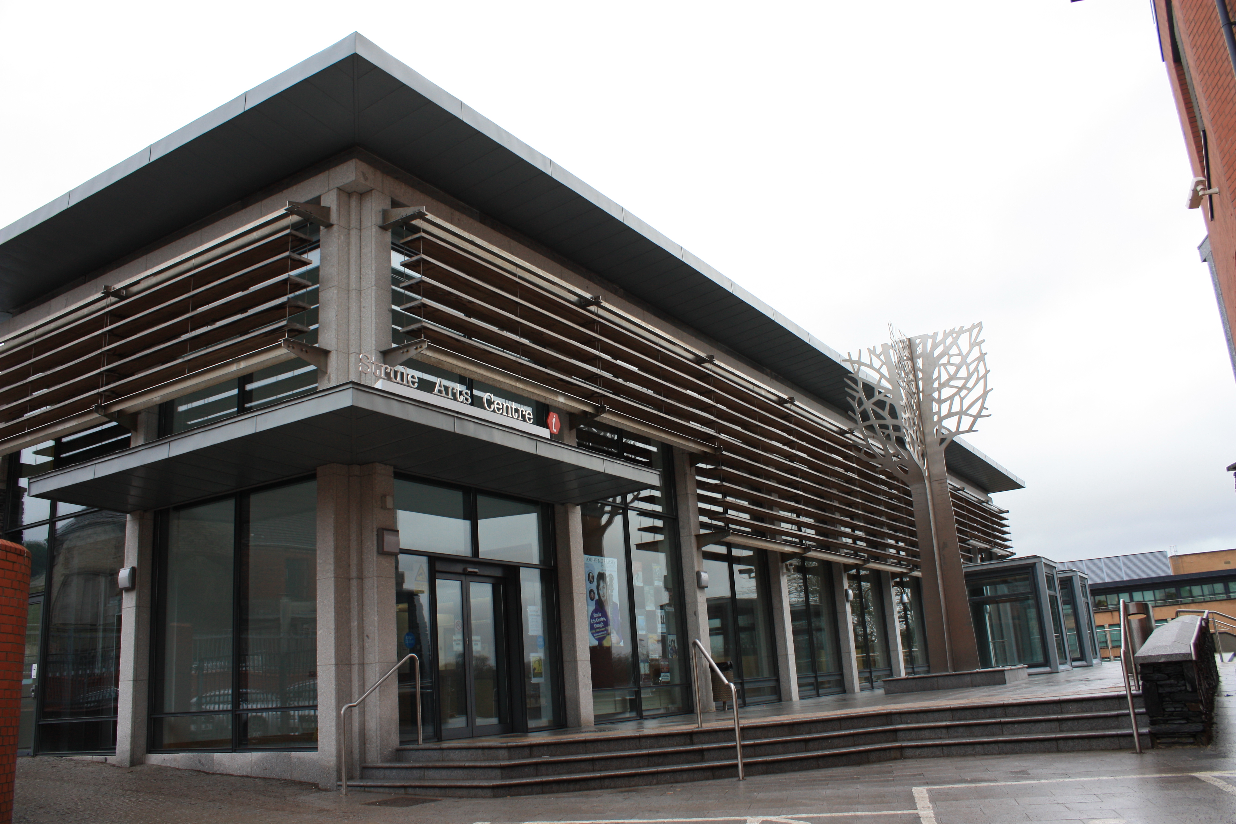
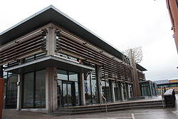 Strule Arts Centre, Townhall Square, Omagh, January 2010
Omagh District Council is a local council in County Tyrone in Northern Ireland. Its headquarters is in the town of Omagh, which is the traditional county town of Tyrone. The council area is about 440 square miles (1,100 km2), making it the second largest local council area in Northern Ireland with a population of just over 50,000 (25,000 of which live in Omagh town). Apart from Omagh the area contains smaller towns including Drumquin, Dromore, Trillick, Fintona, Beragh, Carrickmore and Sixmilecross.
The council was established in 1973 and originally had 20 councillors but following a review of local government boundaries in the early 1980s, the number of councillors was increased to 21. Omagh District Council consists of three electoral areas: Omagh Town, Mid Tyrone and West Tyrone.[1] In the last elections in 2011 members were elected from the following political parties: 10 Sinn Féin, 3 Social Democratic and Labour Party (SDLP), 3 Ulster Unionist Party (UUP), 3 Democratic Unionist Party (DUP) and 2 Independents. The election of Chairman and Vice Chairman of the Council takes place annually in June. The current Chairman is Councillor Frankie Donnelly (Sinn Féin) and the Vice Chairman is Councillor Ross Hussey (UUP).
Contents
2011 election results
2005 election results
Party seats change +/- • Sinn Féin 10 = • Democratic Unionist Party 3 = • Ulster Unionist Party 3 = • Social Democratic and Labour Party 3 = • Independent 2 = Party seats change +/- • Sinn Féin 10 +2 • Democratic Unionist Party 3 +1 • Ulster Unionist Party 3 = • Social Democratic and Labour Party 3 -3 • Independent 2 = In both the Westminster Parliament and the Northern Ireland Assembly, Omagh is completely contained within the West Tyrone constituency.
Review of Public Administration
Under the Review of Public Administration (RPA), the council is due to merge with Fermanagh District Council in 2011 to form a single council for the enlarged area totalling 2829 km² and a population of 105,479.[2] The next election was due to take place in May 2009, but on April 25, 2008, Shaun Woodward, Secretary of State for Northern Ireland announced that the scheduled 2009 district council elections were to be postponed until the introduction of the eleven new councils in 2011.[3]
Population growth
The council area (especially Omagh town) has seen significant growth in the past few years, with the population rising by the most in years. Many housing estates and shopping areas have sprung up in recent times as well.
Population:
- 1982: 44,417
- 1992: 46,372
- 2002: 48,919
- 2004: 50,082
- Population Density - 44 per km²
- Home Ownership - 72%
- Unemployment - 4.5%
- Car Ownership (Households) - 75%
- 16-74 Population In Work - 56%
Facilities
The council owns and runs the Strule Arts Centre in Omagh town centre.
See also
Local councils in Northern Ireland
References
- ^ "Local Councillors". Strabane District Council. http://www.omagh.gov.uk/local_councillors/. Retrieved 2008-05-31.
- ^ "Minister Foster announces decisions on Local Government Reform". DoE. http://www.doeni.gov.uk/index/local_government/minister_foster_announces_decisions_on_local_government_reform.htm. Retrieved 2008-05-31.
- ^ Northern Ireland elections are postponed, BBC News, April 25, 2008, accessed April 27, 2008
External links
Local authorities of Northern Ireland - Antrim
- Ards
- Armagh
- Ballymena
- Ballymoney
- Banbridge
- Belfast
- Carrickfergus
- Castlereagh
- Coleraine
- Cookstown
- Craigavon
- Derry
- Down
- Dungannon and South Tyrone
- Fermanagh
- Larne
- Limavady
- Lisburn
- Magherafelt
- Moyle
- Newry and Mourne
- Newtownabbey
- North Down
- Omagh
- Strabane
Categories:- Politics of County Tyrone
- Omagh
- Local authorities of Northern Ireland

Wikimedia Foundation. 2010.