- North Down Borough Council
-
Coordinates: 54°37′34″N 5°40′23″W / 54.626°N 5.673°W
North Down Borough 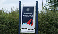
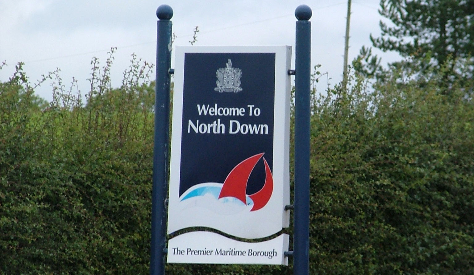
Sign bearing North Down Borough Council logoGeography 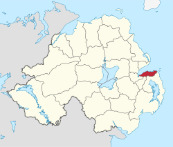
Area
- TotalRanked 26th of 26
81 km²Admin HQ Bangor ISO 3166-2 GB-NDN ONS code 95W Demographics Population
- Total (2010)
- DensityRanked 7th
79,900
980 / km²Community Catholic: 12.6%
Protestant: 80.5%Politics Control No overall control
DUP: 11
Alliance Party: 6
UUP: 4
Independent
Green Party: 1MLAs DUP: 3
Alliance Party: 1
Green Party: 1
UUP: 1MPs Sylvia Hermon (Independent) Meeting place Website http://www.northdown.gov.uk North Down Borough Council is a Local Council in County Down in Northern Ireland with an overall population of around 80,000. Its main town is Bangor, 20 km east of Belfast with a population of approximately 55,000. The Council is headquartered in Bangor. Its secondary centre is the former Urban District of Holywood, 8 km northeast of Belfast with a population of approximately 10,000. Most of the remainder of a total population is in suburban villages along the southern shore of Belfast Lough. The Borough is heavily suburbanised, railway links with Belfast are good and the area has been the domain of Belfast commuters since the mid-19th century. The Borough is often held to be the wealthiest area in Northern Ireland, although there are pockets of deprivation in a string of overspill public housing estates along the Bangor Ring Road.
The borough consists of 4 electoral areas: Abbey, Ballyholme and Groomsport, Bangor West and Holywood. In the 2011 election 25 members were elected from the following political parties: 11 Democratic Unionist Party, 6 Alliance, 4 Ulster Unionists, 1 Green, and 2 Independents.
The Borough of North Down was formed in 1973 in the local government reorganisation from the old Bangor Urban District, Holywood Urban District, North Down Rural District and part of Castlereagh Rural District.
In elections for the Westminster Parliament it is part of the slightly larger North Down constituency
- See Also: Districts of Northern Ireland
Contents
2011 Election results
Party seats change +/- • Democratic Unionist Party 11 +3 • Alliance Party of Northern Ireland 6 - • Ulster Unionist Party 4 -4 • Green Party in Northern Ireland 1 - • Independent 3 +1 Mayor
- 1981/2: Mary O'Fee, Ulster Popular Unionist
- 1985/6: Hazel Bradford, Ulster Unionist
- 1990/2: Denny Vitty, Democratic Unionist
- 1992/3: Leslie Cree, Ulster Unionist
- 1993/4: Brian Wilson, Alliance
- 1994/5: Roy Bradford, Ulster Unionist
- 1995/6: Susan O'Brien, Alliance
- 1996/7: Irene Cree, Ulster Unionist
- 1997/8: Ruby Cooling, Democratic Unionist
- 1998/9: Marsden Fitzsimons, Alliance
- 1999/0: Marion Smith, Ulster Unionist
- 2000/1: Alan Chambers, Independent
- 2001/2: Ian Henry, Ulster Unionist
- 2002/3: Alan Graham, Democratic Unionist
- 2003/4: Anne Wilson, Alliance
- 2004/5: Valerie Kinghan, UK Unionist Party
- 2005/6: Roberta Dunlop, Ulster Unionist
- 2006/7: Alan Leslie, Democratic Unionist
- 2007/8: Stephen Farry, Alliance
- 2008/9: Leslie Cree, Ulster Unionist
- 2009/0: Tony Hill, Alliance
- 2010/1: John Montgomery, Democratic Unionist
- 2011/2: James McKerrow, Ulster Unionist
Review of Public Administration
Under the Review of Public Administration (RPA) the Council was due to merge with Ards in 2011 to form a single council for the enlarged area totalling 451 km² and a population of 149,567.[1] The next election was due to take place in May 2009, but on 25 April 2008, Shaun Woodward, Secretary of State for Northern Ireland announced that the scheduled 2009 district council elections were to be postponed until the introduction of the eleven new councils in 2011.[2]
References
- ^ "Minister Foster announces decisions on Local Government Reform". DoE. http://www.doeni.gov.uk/index/local_government/minister_foster_announces_decisions_on_local_government_reform.htm. Retrieved 2008-05-31.
- ^ Northern Ireland elections are postponed, BBC News, April 25, 2008, accessed April 27, 2008
External links
Local authorities of Northern Ireland Antrim · Ards · Armagh · Ballymena · Ballymoney · Banbridge · Belfast · Carrickfergus · Castlereagh · Coleraine · Cookstown · Craigavon · Derry · Down · Dungannon and South Tyrone · Fermanagh · Larne · Limavady · Lisburn · Magherafelt · Moyle · Newry and Mourne · Newtownabbey · North Down · Omagh · Strabane
Categories:- Politics of County Down
- Bangor, County Down
- Local authorities of Northern Ireland

Wikimedia Foundation. 2010.