Moneyglass

Moneyglass
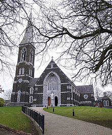
Moneyglass Catholic church

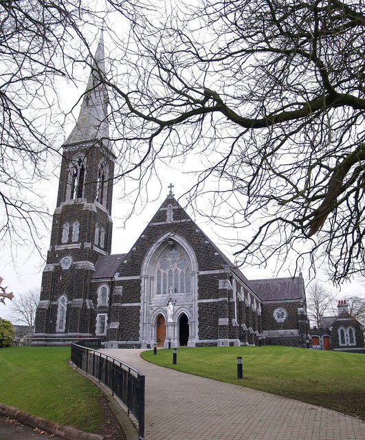
Moneyglass (from Irish: Muine Glas)[1][2] is a small village and townland in County Antrim, Northern Ireland. In the 2001 Census it had a population of 90. Moneyglass is near Toome and Lough Beg.

People

  • Moneyglass was at one time home to Malachy McCourt and his family. He was the Father of Frank McCourt, author of Angela's Ashes and other books, and winner of The Pulitzer Prize, The NBCC Award, The LA Times Award and the Royal Society of Literature Award.
  • Champion National Hunt jockey and 2010 BBC Sports Personality of the Year winner, Tony McCoy, who received an MBE in 2003, was born in Moneyglass.
  • Willie John McBride, world famous Rugby Union player, capped for Ireland on 63 occasions, 12 as Captain, is a native of Moneyglass but now lives in Ballyclare.

Eamonn McQuade,country singer from Moneyglass now lives in Randalstown commonly played on irish country radio stations and singer of the album "Things I Should Have Done" Eamonn has 4 of the songs from the album currently uploaded on youtube

References

  1. ^ Placenames NI
  2. ^ Placenames Database of Ireland

Coordinates: 54°46′42″N 6°25′14″W / 54.77833°N 6.42056°W / 54.77833; -6.42056


Wikimedia Foundation. 2010.

Игры ⚽ Поможем написать реферат

Look at other dictionaries:

  • County Antrim — Contae Aontroma Coontie Antrìm / Countie Antrim Coat of arms …   Wikipedia

  • Giant's Causeway — For other uses, see Giant s Causeway (disambiguation). Coordinates: 55°14′27″N 6°30′42″W / 55.24083°N 6.51167°W / 55.2 …   Wikipedia

  • Dunseverick — Coordinates: 55°14′N 6°27′W / 55.233°N 6.45°W / 55.233; 6.45 Dunseverick (from Irish: Dún Sobhairce …   Wikipedia

  • Crumlin, County Antrim — Coordinates: 54°37′N 6°14′W / 54.62°N 6.23°W / 54.62; 6.23 …   Wikipedia

  • Merville Garden Village — is a housing estate located at Shore Road, Whitehouse, Newtownabbey, County Antrim, Northern Ireland created by structural and landscape architect Edward Prentice Mawson. It was completed in 1949. Contents 1 Historical background 2 Conservation… …   Wikipedia

  • Newtownabbey — Coordinates: 54°39′25″N 5°54′25″W / 54.657°N 5.907°W / 54.657; 5.907 …   Wikipedia

  • Divis — Dubhais Elevation …   Wikipedia

  • Donegore — Coordinates: 54°44′06″N 6°08′10″W / 54.735°N 6.136°W / 54.735; 6.136 Donegore (historically Dunogcurra, from …   Wikipedia

  • Doagh — (pronounced doh a,  from Irish: Dumhach, meaning mound )[1] is a village and townland in County Antrim, Northern Ireland. It is in the Six Mile Water Valley about two miles southwest of Ballyclare. It had a population of 1,130 people in the… …   Wikipedia

  • Dunadry — (from Irish: Dún Eadradh, meaning middle fort )[1][2] is a small village and townland near Antrim in County Antrim, Northern Ireland. It had a population of 237 people in the 2001 Census. It is within the Borough of Antrim. Transport Dunadry… …   Wikipedia

Share the article and excerpts

Direct link
Do a right-click on the link above
and select “Copy Link”