- Dareton, New South Wales
-
Dareton
New South Wales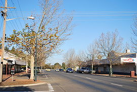
Tapio Ave, the main street of Dareton.
 Dareton
Population: 567[1] Established: 1922 Postcode: 2717 Coordinates: 34°05′S 142°01′E / 34.083°S 142.017°ECoordinates: 34°05′S 142°01′E / 34.083°S 142.017°E Location: LGA: Wentworth Shire State District: Murray Darling Federal Division: Farrer Dareton is a town in the far west of New South Wales, Australia. The town is located on the Silver City Highway, 1,025 kilometres west of the state capital, Sydney and 20 kilometres from the regional centre, Mildura, across the border in Victoria. Part of the Wentworth Shire Local government area, at the 2006 census, Dareton had a population of 567.[1]
Located on the Murray River, the town is at the heart of the Coomealla Irrigation Area. Dareton was once home to an Aboriginal mission, this is now a residential area for Aboriginal people. Australian Test cricket captain Mark Taylor spent part of his early life in Dareton.[2]
Contents
History
Dareton had its genesis in 1922 with the recommendation to establish irrigation in the area. Pioneering settlers moved to the district soon after, but it was not until after World War II and the establishment of soldier settler farms that Dareton began to prosper. Dareton is named for the then Water Conservation and Irrigation Commissioner Henry Dare, who was a strong advocate for the irrigation scheme.[3]
Today
Dareton today is a producer of grapes and dried fruit. It boasts a championship golf course and is a popular location for fishing and camping.
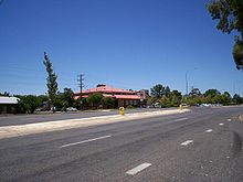
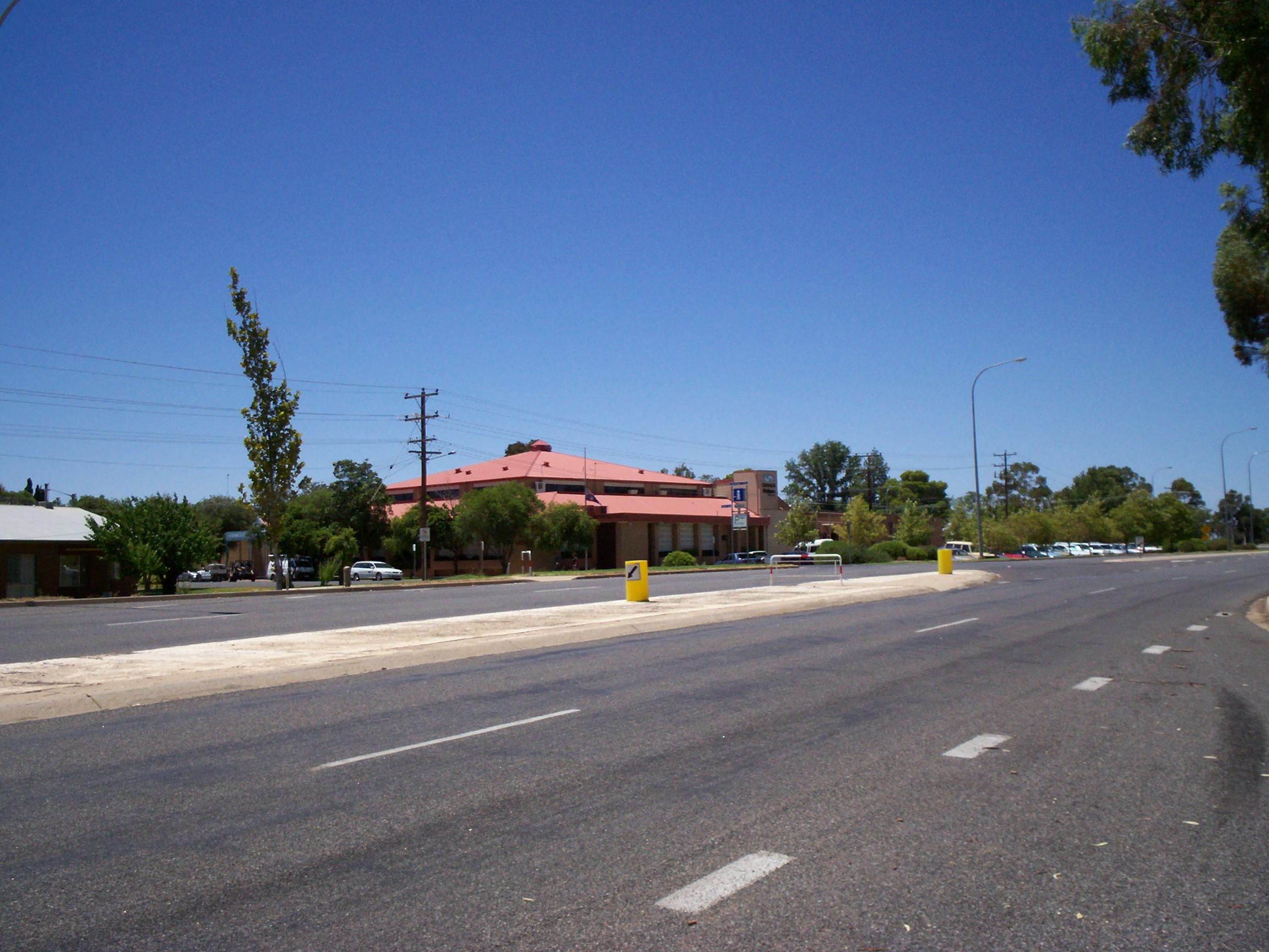
A major local entity is the Coomealla Memorial Sporting Club. It operates a large gambling and social facility, plus various sporting facilities (including a golf course). The club was immensely popular with South Australians and Victorians looking for a pokies venue when they were unavailable in those states.
Schools include Dareton Public School, Coomealla High School and the Coomealla Campus of the Riverina Institute.
References
- ^ a b Australian Bureau of Statistics (25 October 2007). "Dareton (L) (Urban Centre/Locality)". 2006 Census QuickStats. http://www.censusdata.abs.gov.au/ABSNavigation/prenav/LocationSearch?collection=Census&period=2006&areacode=UCL125800&producttype=QuickStats&breadcrumb=PL&action=401. Retrieved 2007-10-25.
- ^ Taylor, Mark (1999). Time to Declare. Sydney: Ironbark. p. 17. ISBN 0-330-36184-8.
- ^ Wentworth Shire Council - Official website.
External links
- Wentworth Shire Council - Official website
- Visit Mildura - Dareton tourist site
Towns in the Wentworth Shire Local Government Area Categories:- Towns in New South Wales
- Wine regions of New South Wales
- Populated places on the Murray River
- Australian soldier settlements


Wikimedia Foundation. 2010.