Birdwoodton, Victoria

Birdwoodton, Victoria

Infobox Australian Place | type = town
name = Birdwoodton
state = vic


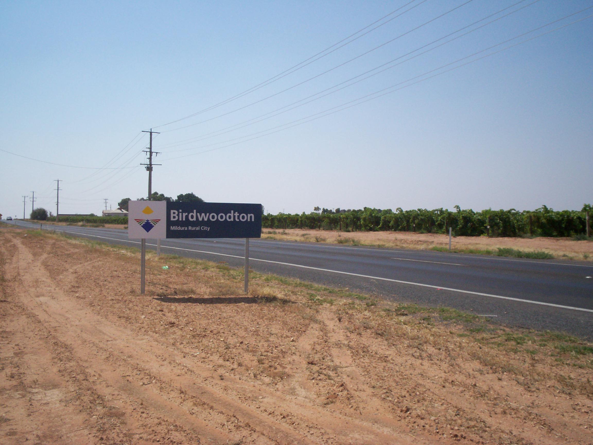
caption = Entering Birdwoodton
lga = Rural City of Mildura
region = Sunraysia
postcode = 3505
pop = 971 (2006)Census 2006 AUS | id = SSC25167 | name = Birdwoodton (State Suburb) | accessdate = 2007-10-01 | quick = on]
est =
elevation=
maxtemp =
mintemp =
rainfall =
timezone = AEST
utc = +10
timezone-dst = AEST
utc-dst = +11
stategov = Mildura
fedgov = Mallee
dist1 = 548
location1= Melbourne
dist2 = 14
location2= Mildura
dist3 = 15
location3= Irymple
dist4 = 4
location4= Merbein [ [http://www.travelmate.com.au/MapMaker/MapMaker.asp Travelmate] ]

Birwoodton is a locality situated in the Sunraysia region, in north western Victoria, Australia. The place by road, is situated about 4 kilometres south from Merbein and 14 kilometres north west from Mildura.

Named after William Birdwood, 1st Baron Birdwood, leader of the ANZAC forces at the Battle of Gallipoli, it was established as an agricultural soldier settler scheme soon after World War I. The Post Office opened on July 19, 1920 (closed in 1978). Citation
last = Premier Postal History | title = Post Office List | url = https://www.premierpostal.com/cgi-bin/wsProd.sh/Viewpocdwrapper.p?SortBy=VIC&country= | accessdate = 2008-04-11
]

The locality is predominantly devoted to grape production.

Notes and References

External links

* [http://www.mildura.vic.gov.au/Files/L_Birdwoodton.PDF Map of Birdwoodton] {PDF}


Wikimedia Foundation. 2010.

Игры ⚽ Нужно решить контрольную?

Look at other dictionaries:

  • Nichols Point, Victoria — Nichols Point Victoria …   Wikipedia

  • Cowangie, Victoria — Cowangie Victoria The post office at Cowangie, now closed …   Wikipedia

  • Neds Corner, Victoria — Neds Corner Victoria …   Wikipedia

  • Nowingi, Victoria — Nowingi is a locality in Victoria, Australia. Approximately 50 kilometres (31 mi) south of Mildura, the locality is in the Rural City of Mildura local government area. History In May 2004, unreserved Crown land, roughly five kilometres south …   Wikipedia

  • List of localities in Victoria (Australia) — Map of Local Government Areas in Victoria This is a list of locality names and populated place names in the state of Victoria, Australia, outside the Melbourne metropolitan area. It is organised by region from the south west of the state to the… …   Wikipedia

  • Manangatang, Victoria — Manangatang Victoria …   Wikipedia

  • Colignan, Victoria — Colignan Victoria The Murray River flows through Colignan. This island is commonly known as Watts s or Colignan Island and is fully submerged when the river is high …   Wikipedia

  • Chillingollah, Victoria — Chillingollah Victoria …   Wikipedia

  • Merbein, Victoria — Merbein Victoria Commercial Street, the main street of Merbein …   Wikipedia

  • Nyah, Victoria — Nyah Victoria …   Wikipedia

Share the article and excerpts

Direct link
Do a right-click on the link above
and select “Copy Link”