- Nandaly, Victoria
-
Nandaly
Victoria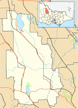
 Nandaly
Population: 122[1] Postcode: 3533 Location: LGA: Shire of Buloke State District: Swan Hill Federal Division: Mallee Nandaly is a small town in the Mallee region of Victoria, Australia. The town is located 388 kilometres (241 mi) north-west of the state capital, Melbourne on the Calder Highway in the Shire of Buloke Local Government Area. At the 2006 census, Nandaly and the surrounding area had a population of 122.[1]
The Post Office opened on November 2, 1914 when a community developed on the arrival of the railway. [2]
With its neighbouring township Sea Lake, Nandaly has a football team (Sea Lake-Nandaly) competing in the Mallee Football League.
Golfers play at the course of the Nandaly Golf Club on Messinnes Street.[3]
References
- ^ a b Australian Bureau of Statistics (25 October 2007). "Nandaly (State Suburb)". 2006 Census QuickStats. http://www.censusdata.abs.gov.au/ABSNavigation/prenav/LocationSearch?collection=Census&period=2006&areacode=SSC26281&producttype=QuickStats&breadcrumb=PL&action=401. Retrieved 2007-10-30.
- ^ Premier Postal History, Post Office List, https://www.premierpostal.com/cgi-bin/wsProd.sh/Viewpocdwrapper.p?SortBy=VIC&country=, retrieved 2008-04-11
- ^ Golf Select, Nandaly, http://www.golfselect.com.au/armchair/courseView.aspx?course_id=1048, retrieved 2009-05-11
Towns in the Shire of Buloke Berriwillock · Bimbourie · Birchip · Boigbeat · Charlton · Culgoa · Donald · Dumosa · Glenloth · Glenloth East · Kalpienung · Lake Tyrrell · Nandaly · Ninda · Nullawil · Nyarrin · Sea Lake · Springfield · Watchem · Wycheproof ·
Coordinates: 35°18′S 142°42′E / 35.3°S 142.7°E
Categories:- Towns in Victoria (Australia)
- Victoria (Australia) geography stubs

Wikimedia Foundation. 2010.