Yelta, Victoria

Yelta, Victoria

Infobox Australian Place | type = town
name = Yelta
state = vic


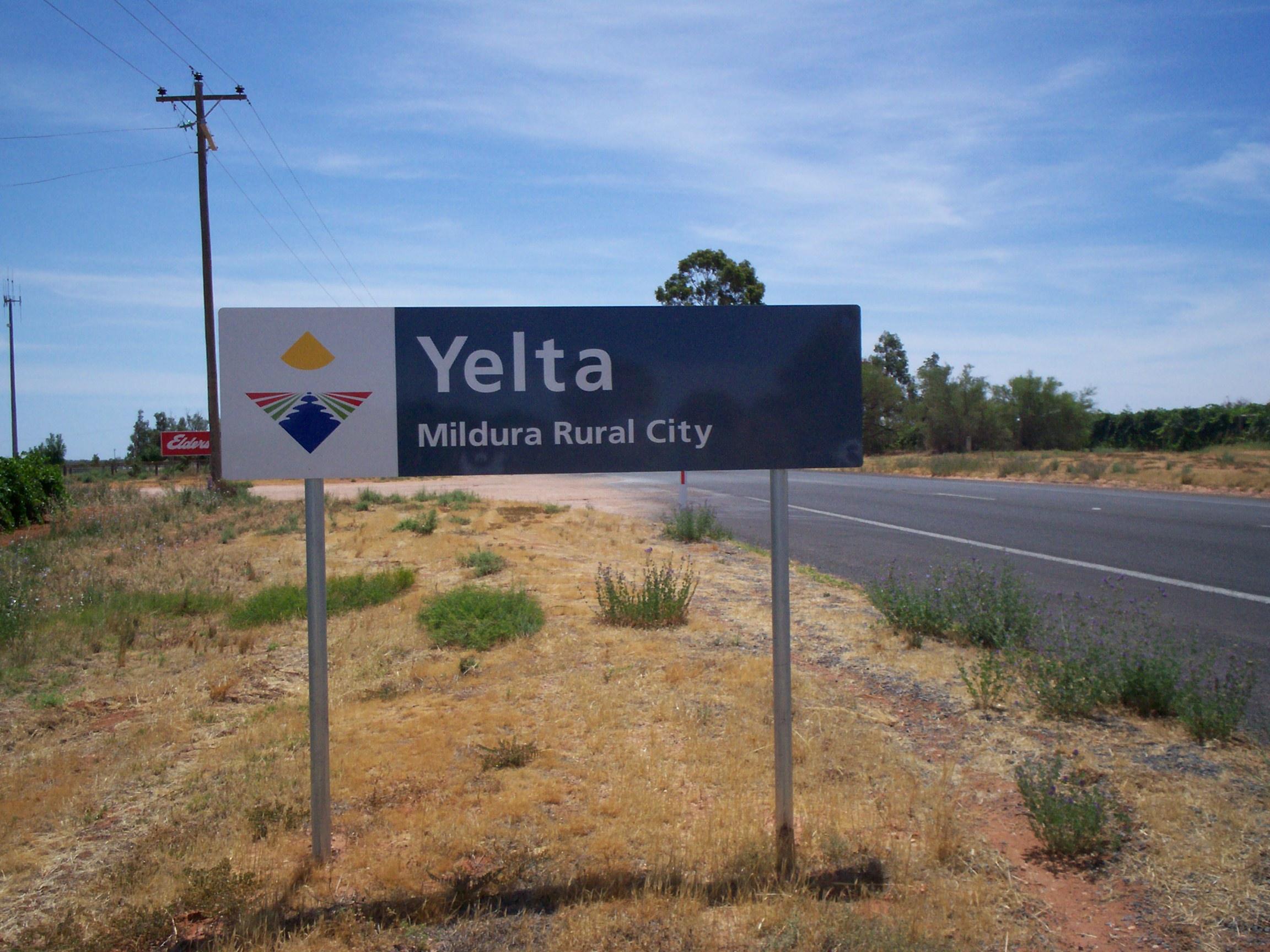
caption = Entry sign
lga = Rural City of Mildura
postcode = 3505
est =
pop = 390
elevation=
maxtemp =
mintemp =
rainfall =
stategov = Mildura
fedgov = Mallee
dist1 = 563
dir1 = NW
location1= Melbourne
dist2 = 24
dir2 = W
location2= Mildura
dist3 = 9
dir3 = NW
location3= Merbein
dist4 = 3
dir4 = S
location4= Curlwaa (NSW)

Yelta is a small locality in Victoria, Australia. It was for a short time in the 1870s and 1880s the Victorian administrative centre of what is now Sunraysia and the Millewa. This role was then taken over by Mildura. At the 2006 census, Yelta and the surrounding area had a population of 390.Census 2006 AUS
id=SSC27105
name=Yelta (State Suburb)
accessdate=2007-08-17
quick=on
]

It is presently notable for containing the terminus of the Melbourne-Mildura railway line, an Elders stockyard and half of the Abbotsford Bridge.

References


Wikimedia Foundation. 2010.

Игры ⚽ Нужен реферат?

Look at other dictionaries:

  • Mildura railway line, Victoria — VictorianRailwayLineInfobox type = vic name = Mildura yearcommenced = 1874 yearopened = yearcompleted = 1903 yearclosed = 1993 (for passengers) fate = Freight only lengthkm = 604 stations = 9 tracks = 1 users = Pacific National servicepattern =… …   Wikipedia

  • Nichols Point, Victoria — Nichols Point Victoria …   Wikipedia

  • Cowangie, Victoria — Cowangie Victoria The post office at Cowangie, now closed …   Wikipedia

  • Geelong-Ballarat railway line, Victoria — VictorianRailwayLineInfobox type = vic name = Geelong Ballarat yearcommenced = 1858 yearopened = 1862 yearcompleted = yearclosed = fate = lengthkm = stations = tracks = Single track, crossing loops users = Freight servicepattern = RollingStock =… …   Wikipedia

  • Neds Corner, Victoria — Neds Corner Victoria …   Wikipedia

  • Nowingi, Victoria — Nowingi is a locality in Victoria, Australia. Approximately 50 kilometres (31 mi) south of Mildura, the locality is in the Rural City of Mildura local government area. History In May 2004, unreserved Crown land, roughly five kilometres south …   Wikipedia

  • List of localities in Victoria (Australia) — Map of Local Government Areas in Victoria This is a list of locality names and populated place names in the state of Victoria, Australia, outside the Melbourne metropolitan area. It is organised by region from the south west of the state to the… …   Wikipedia

  • Mildura, Victoria — Infobox Australian Place | type = city name = Mildura state = vic caption = Langtree Avenue, Mildura pop = 30,016 (2006)Census 2006 AUS | id = UCL233800 | name = Mildura (Urban Centre/Locality)|accessdate=2008 01 06|quick=on] poprank = density =… …   Wikipedia

  • Manangatang, Victoria — Manangatang Victoria …   Wikipedia

  • Colignan, Victoria — Colignan Victoria The Murray River flows through Colignan. This island is commonly known as Watts s or Colignan Island and is fully submerged when the river is high …   Wikipedia

Share the article and excerpts

Direct link
Do a right-click on the link above
and select “Copy Link”