- Opal Cone
-
Opal Cone 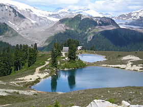
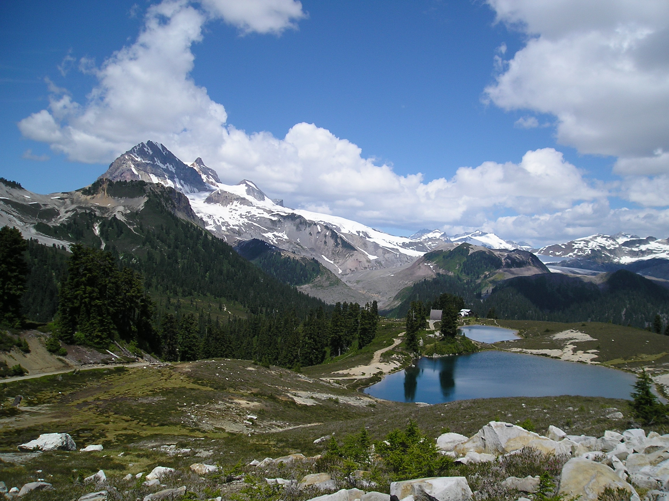
Elevation 1,736 m (5,696 ft) Prominence 86 m (282 ft) Location Location Garibaldi Park, British Columbia, Canada Range Garibaldi Ranges Coordinates 49°49′38.0″N 122°58′16.0″W / 49.82722°N 122.97111°WCoordinates: 49°49′38.0″N 122°58′16.0″W / 49.82722°N 122.97111°W Topo map NTS 92.G/15 Geology Type Cinder cone Age of rock Holocene Volcanic arc/belt Cascade Volcanic Arc Garibaldi Volcanic Belt Last eruption 9300 BP Opal Cone is a cinder cone located on the southeast flank of Mount Garibaldi in the Coast Mountains of British Columbia, Canada. It is the source of a 15 km long broad dacite lava flow with prominent wrinkled ridges. The lava flow is unusually long for a silicic lava flow.
Opal Cone is a member of the Cascade Volcanoes, but it is located in the Garibaldi Ranges in the Coast Mountains and not in the Cascade Range proper.
See also
- List of volcanoes in Canada
- Volcanism of Canada
- Volcanism of Western Canada
- Cascade Volcanoes
- Garibaldi Volcanic Belt
- Garibaldi Lake volcanic field
External links
- Opal Cone in the Canadian Mountain Encyclopedia
References
 Volcanoes of the Garibaldi Volcanic BeltBlack Tusk · Brew · Bridge River (Tuber · Salal Glacier · Sham) · Callaghan · Cauldron · Cayley (Pyroclastic · Vulcan's Thumb) · Cinder Cone · Ember · Fee · Franklin Glacier · Garibaldi (Atwell · Opal) · Glacier Pikes · Little Ring · Meager (Capricorn · Devastator · Job · Perkin's Pillar · Plinth · Pylon) · Monmouth Creek (The Castle) · Pali · Price (Clinker) · Ring · Round · Silverthrone (Silverthrone · Machmell River) · Slag · The Table · Tricouni Southwest · Watts Point
See also: Volcanism of Canada portal Categories:- Subduction volcanoes
- Cinder cones of British Columbia
- Parasitic cones
- Holocene volcanoes
- Garibaldi Lake volcanic field
- British Columbia Coast geography stubs

Wikimedia Foundation. 2010.