- Mount Frederick William
-
Mount Frederick William 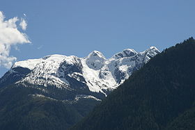
Mt. Frederick WilliamElevation 1,818 m (5,965 ft) Prominence W. of N. end of Princess Royal Reach, New Westminster Land District Location Location in British Columbia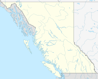
 Mount Frederick William
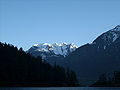
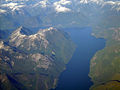
Location Jervis Inlet , British Columbia, Canada Range Pacific Ranges Coordinates 50°04′58.3″N 123°52′01.3″W / 50.082861°N 123.867028°WCoordinates: 50°04′58.3″N 123°52′01.3″W / 50.082861°N 123.867028°W Topo map NTS 92/J4 Mount Frederick William is a mountain located at the Queen Reach arm of the Jervis Inlet within the Pacific Ranges of the Coast Mountains in British Columbia Canada. The mountain was named during the 1860 survey by the HMS Plumper who charted all the of the area and named the mountain after the Prussian Crown Prince Frederick William, who had married Princess Victoria, the eldest child of Queen Victoria and Prince Albert.[1]
This mountain has been given the nickname of Frankenstein for it has the familiar profile of the famous monster's face.
External links
- "Frederick William, Mount". BC Geographical Names. http://apps.gov.bc.ca/pub/bcgnws/names/4397.html.
- CM_C2308 Fraser River to N.E.Pt. of Texada Island including Howe Sound and Jervis Inlet 'Annotated' 1863.02.16 1865.08
- Detail Map of Mt.Frederick William from the 1860 Survey Map of the Jervis Inlet and Mt.Frederick William.
Gallary
- Mt Frederick William Gallery
-
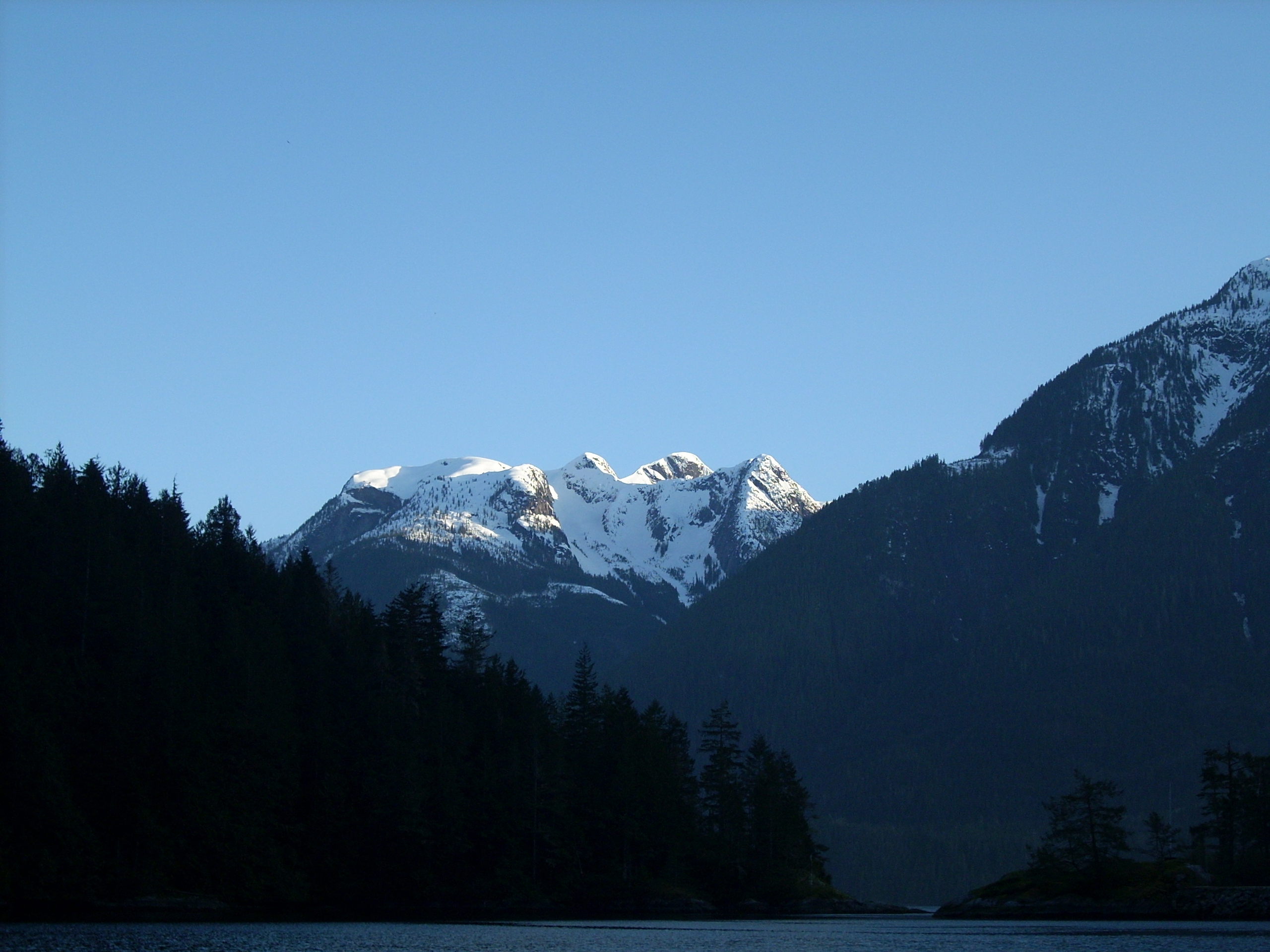
Mt. Frederick William seen from Princess Louisa Inlet at Dusk.
-
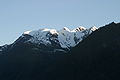
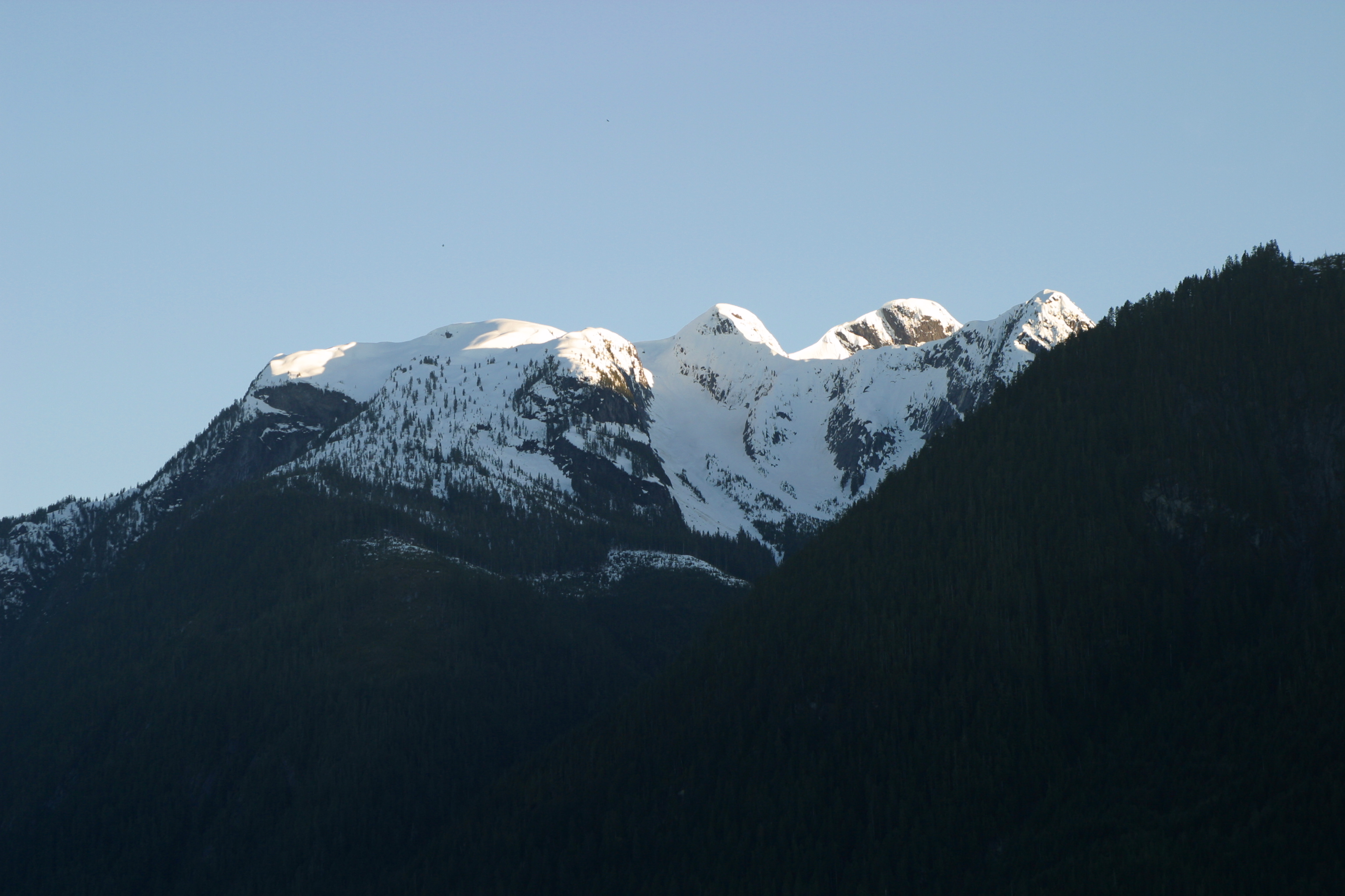
Mt. Frederick William close up
-
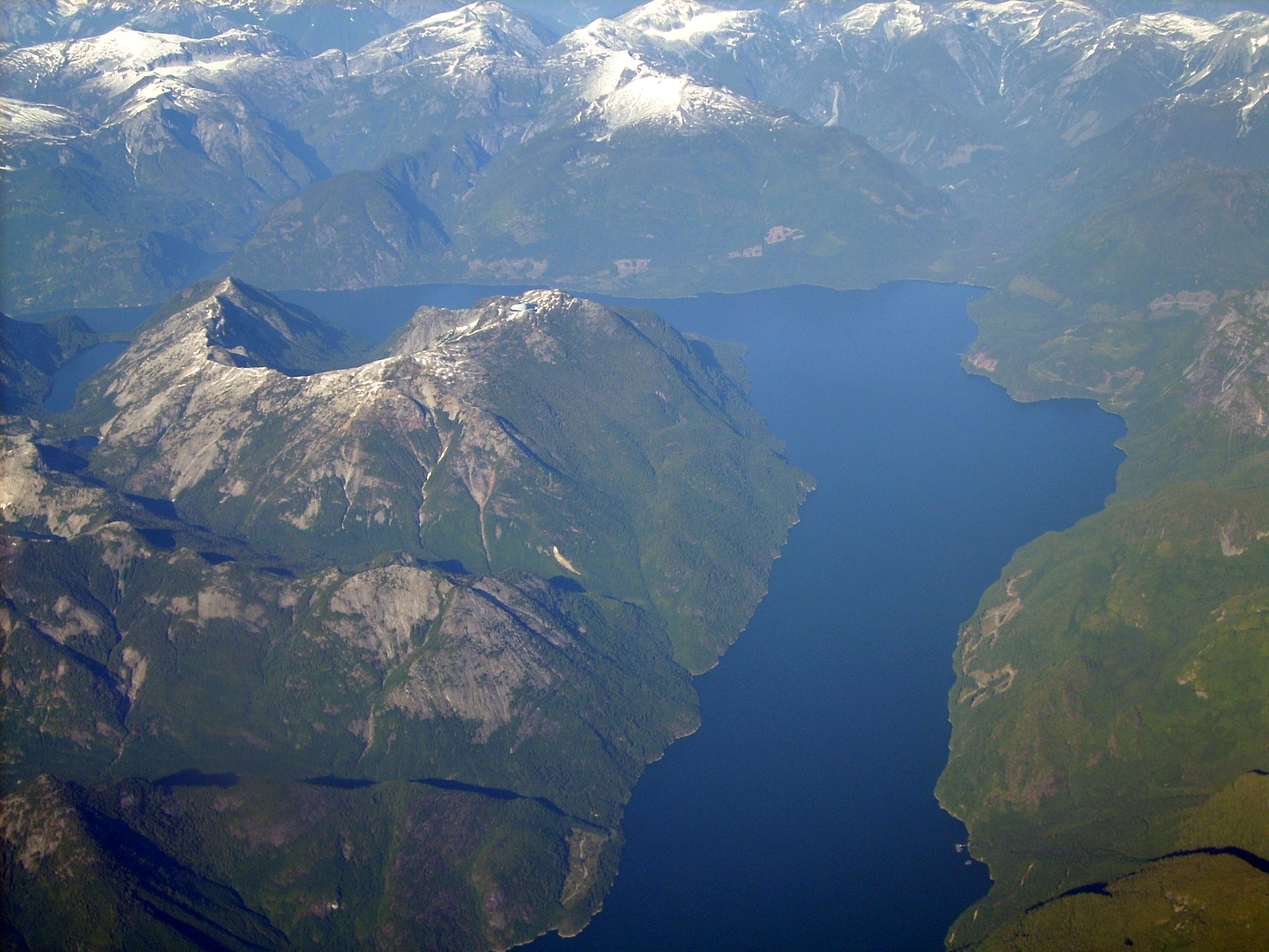
Behind Mt. Frederick William as seen from 20,000 feet (Bowl shape mountain)
References
- ^ Hitz, Charles W.(2003). Through the Rapids - The History of Princess Louisa Inlet, p.54. Sikta 2 Publishing.,Kirkland, WA. ISBN 0972025502.
Categories:- Mountains of British Columbia
- Pacific Ranges
- New Westminster Land District
- British Columbia geography stubs


Wikimedia Foundation. 2010.