- Jervis Inlet
-
Jervis Inlet 
Map of Jervis Inlet Coordinates 49°59′47.73″N 123°58′6.53″W / 49.9965917°N 123.9684806°W Ocean type Inlet, Fjord Basin countries Canada Max length 89 km (55 mi) Max depth 670 m (2,200 ft) Jervis Inlet (sometimes locally pronounced /ˈdʒɑrvɨs/) is a principal inlet of the British Columbia Coast, about 95 km (59 mi) northwest of Vancouver.[1]
Contents
Geography
It stretches 77 kilometres (48 mi)[2] from its head at the mouth of the short (18 km or 11 mi) Skwakwa River to its opening into the Strait of Georgia near Texada Island. It is the deepest fjord on the British Columbia coast with a maximum depth of 732 metres (2,402 ft).[2]
The inlet is made up of three arms or reaches:
At its uppermost stretch is Queens Reach, which takes a sharp right-angle often seen in fjord areas, to become Princess Royal Reach. Both reaches are about 20 kilometres (12 mi) in length. The flanks of the fjord and the valley of the Skwakwa River, which feeds the head of the inlet, are the site of two of Canada's highest waterfalls, James Bruce Falls (840m or 2,755 ft) and Alfred Creek Falls.
The most frequented and best known inlet in the area is Princess Louisa Inlet, with the Malibu Club and Young Life Camp at the entrance of the inlet and Princess Louisa Marine Provincial Park, including Chatterbox Falls, at its head.
At the mouth of Jervis Inlet a passenger and vehicle ferry operated by BC Ferries connects Earl's Cove (on the upper end of the Sechelt Peninsula and lower Sunshine Coast) with Saltery Bay (on the bottom end of the Malaspina Peninsula and upper Sunshine Coast).
Population is sparse on the shores of Jervis Inlet and there is no road access to the area. Industry includes small operations in aquaculture, commercial fishing and logging, but a substantial number of independent power projects are expected to develop in coming years.
Climate
Climate data for Jervis Inlet Month Jan Feb Mar Apr May Jun Jul Aug Sep Oct Nov Dec Year Record high °C (°F) 14
(57)12.5
(54.5)17.5
(63.5)26.5
(79.7)32.5
(90.5)32
(90)32
(90)35
(95)30.5
(86.9)23
(73)16.5
(61.7)12.5
(54.5)35
(95)Average high °C (°F) 4.2
(39.6)5.8
(42.4)8.8
(47.8)12.9
(55.2)16.8
(62.2)19.7
(67.5)22.6
(72.7)22.8
(73.0)18.7
(65.7)12.3
(54.1)6.8
(44.2)4.1
(39.4)13 Average low °C (°F) 1.1
(34.0)1.8
(35.2)3.2
(37.8)5.6
(42.1)8.9
(48.0)12
(54)14.4
(57.9)15.1
(59.2)11.9
(53.4)7.8
(46.0)3.5
(38.3)1.2
(34.2)7.2 Record low °C (°F) −7.5
(18.5)−11
(12)−3.9
(25.0)0
(32)2.5
(36.5)5.6
(42.1)8
(46)9.4
(48.9)5
(41)−4
(25)−10
(14)−13.5
(7.7)−13.5
(7.7)Precipitation mm (inches) 279.5
(11.004)252.8
(9.953)216.9
(8.539)165.4
(6.512)141.6
(5.575)123.3
(4.854)94.1
(3.705)96.8
(3.811)109.8
(4.323)282
(11.1)372.3
(14.657)311.1
(12.248)2,445.5
(96.28)Source: Environment Canada[3] History
The head of Jervis Inlet was once a seasonal settlement of the Sechelt Indian Band, who called it xénichen.
George Vancouver named the inlet after the 1791-95 expedition to search for the fabled Northwest Passage. In the Royal Navy tradition, Vancouver named this main waterway after his friend Rear Admiral Sir John Jervis (Earl of St. Vincent) for his victory over the Spanish fleet on February 14, 1797 at Cape St.Vincent in Portugal.[4] He named St. Vincent's Bay (near the entrance of Jervis Inlet) after the location of the battle, St.Vincent Bay.[5]
The three specific reaches of the inlet and mountains were named in the 1860 survey by the HMS Plumper, which charted the known area in honor of members of Queen Victoria's family.[5] The waterways named during this survey mission were: Princess Louisa Inlet, Queens Reach, Princess Royal Reach, and Prince of Wales Reach. Also named were the main mountains of the area:
- Mount Alfred
- Mount Fredrick William
- Mount Arthur
- Mount Wellington
- Mount Alice
- Mount Victoria
- Mount Helena
- Mount Albert
In the early 1900s, logging and commercial fishing developed in the Jervis Inlet area. Relatively large logging camps operated at Goliath Bay, Vancouver Bay and Hotham Sound, commercial fishing was conducted by owner-operators based in Egmont, Pender Harbour and Saltery Bay, and several fish-processing plants operated in Egmont, Pender Harbour and Saltery Bay.
Gallery
- Jervis Inlet Gallery
-

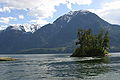
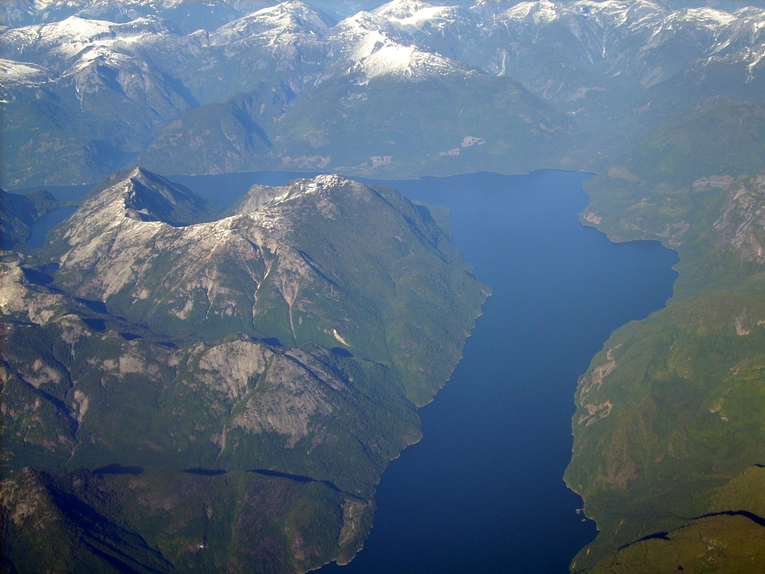
A sailboat explores Princess Royal Reach of the Jervis Inlet.
-
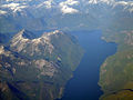
Mount Arthur & Mount Fredrick William from the entrance of the Princess Louisa Inlet.
-

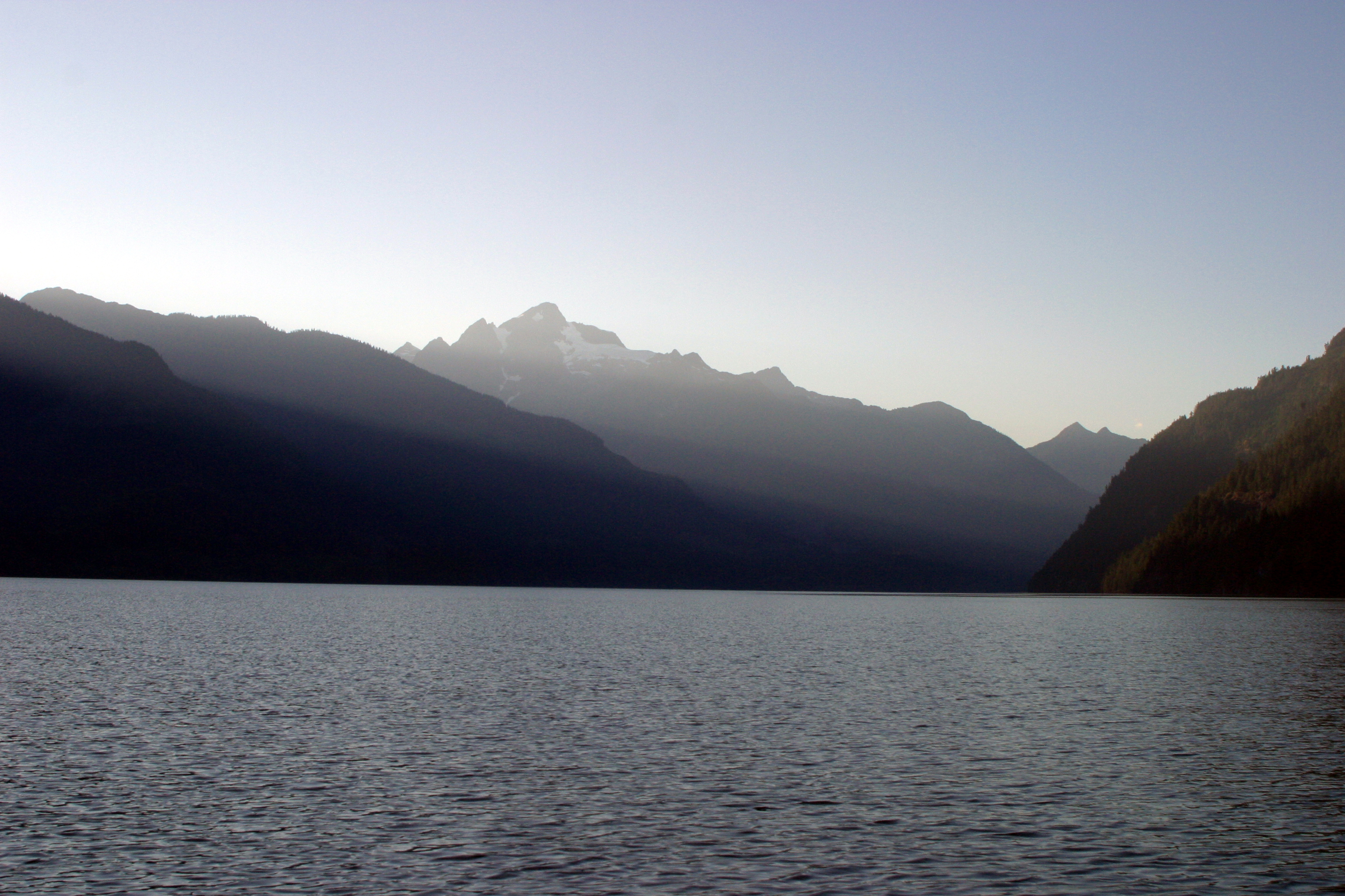
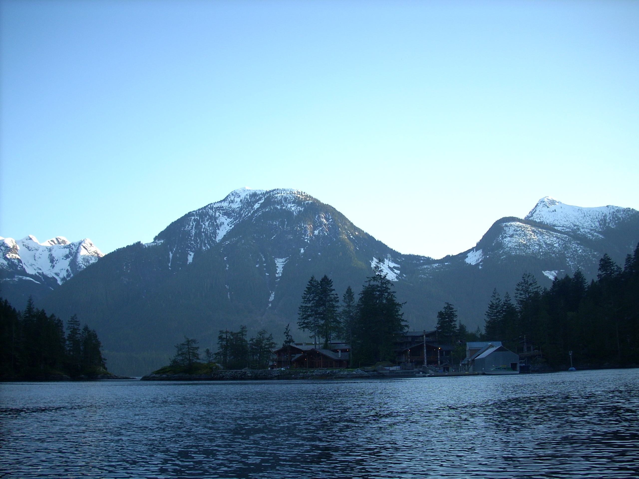
The Jervis Inlet at dusk.
-
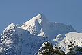
Mount Alfred seen from the inlet.
-

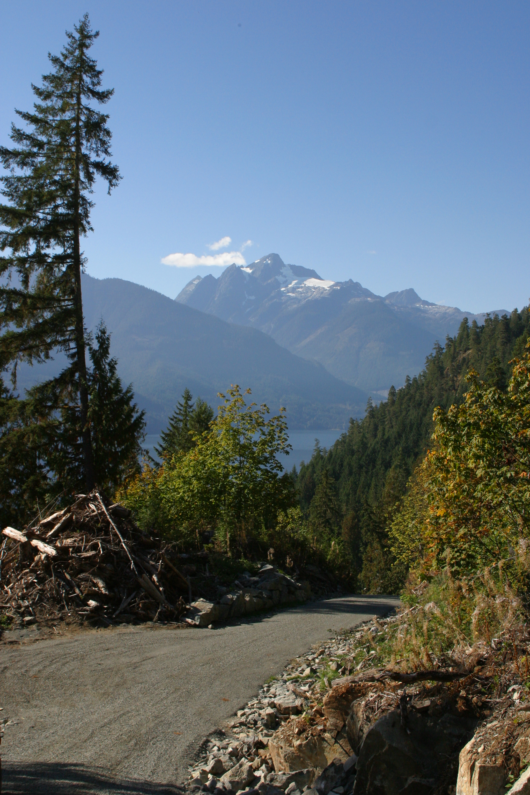
Mount Alfred from a logging road along the inlet.
-

Mount Arthur rising above the Jervis Inlet
-
Mount Fredrick William & the "elbow" of the inlet.
References
- ^ "Jervis Inlet". BC Geographical Names. http://apps.gov.bc.ca/pub/bcgnws/names/10102.html.
- ^ a b Francis (ed), Daniel (2000) [1999], Francis, Daniel, ed., Encyclopedia of British Columbia, Harbour Publishing, p. 368, ISBN 1-55017-200-X, http://www.knowbc.com/
- ^ Environment Canada—Climate Normals 1971–2000, accessed 25 March 2010
- ^ "Jervis Inlet". BC Geographical Names. http://apps.gov.bc.ca/pub/bcgnws/names/10102.html.
- ^ a b Hitz, Charles W.(2003).Through the Rapids - The History of Princess Louisa Inlet, p.30. Sitka 2 Publishing., Kirkland, WA. ISBN 0972025502.
External links
- Deep Water Properties of Jervis Inlet Department of Fisheries and Oceans.
- CM_C2308 Fraser River to N.E.Pt. of Texada Island including Howe Sound and Jervis Inlet 'Annotated' 1863.02.16 1865.08
Coordinates: 49°59′47.73″N 123°58′6.53″W / 49.9965917°N 123.9684806°W
Hydrography of British Columbia Rivers Lakes Coastal features Burrard Inlet · Bute Inlet · Discovery Passage · English Bay · Gulf of Georgia · Howe Sound · Jervis Inlet · Malaspina Strait · Nootka Sound · Queen Charlotte Sound · Strait of GeorgiaCategories:- Fjords of British Columbia
- Sunshine Coast


Wikimedia Foundation. 2010.