- Garibaldi Ranges
Geobox |Range
name = Garibaldi Ranges
native_name =
image_size = 300px
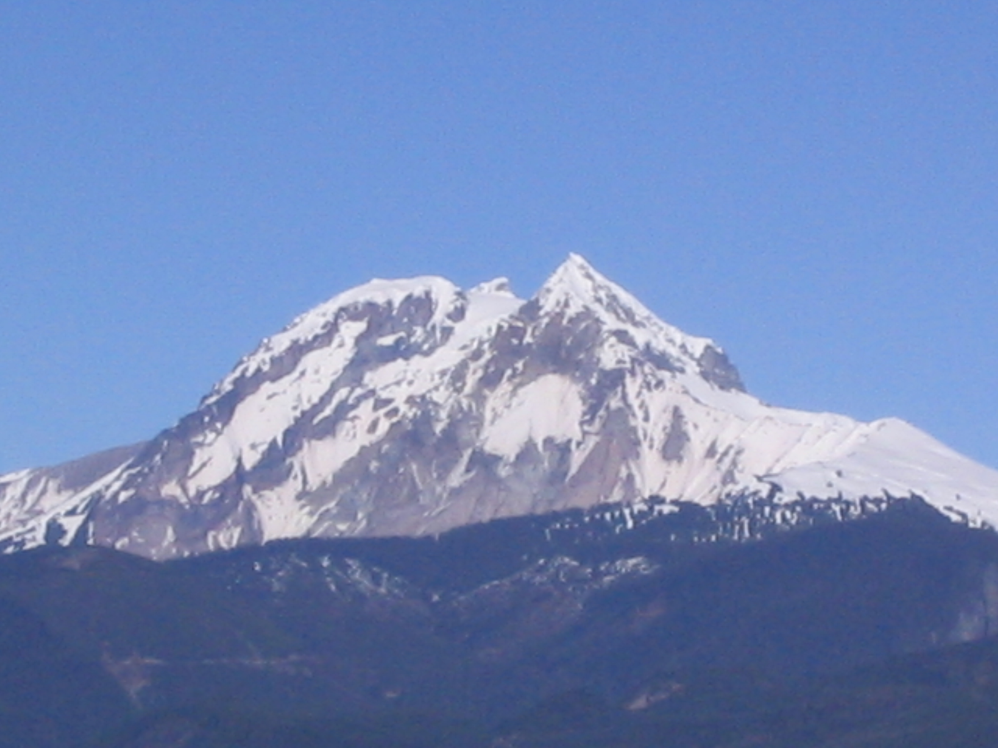
image_caption =Mount Garibaldi as seen fromSquamish, British Columbia
country = Canada
region = British Columbia | region_type=Province
district =
city =Squamish
parent = Pacific Ranges
unit1 =
border = North Shore Mountains
border1 =
geology =
geology1 =
period =
period1 =
orogeny =
orogeny1 =
area = 4337
highest = Wedge Mountain
highest location =
highest_elevation = 2892
highest_lat_d = 50
highest_lat_m = 07
highest_lat_s = 59
highest_lat_NS = N
highest_long_d = 122
highest_long_m = 47
highest_long_s = 36
highest_long_EW = W
free_type =
free =
map_size = 300
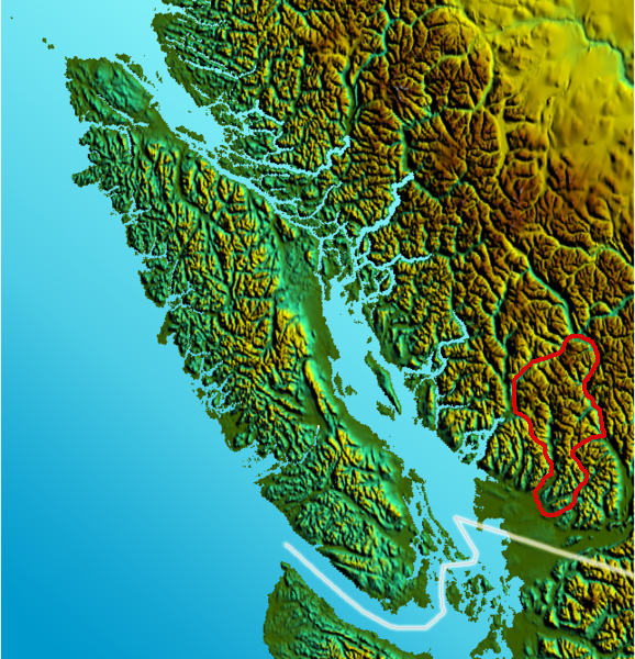
map_caption = Location map of Garibaldi Ranges
map_first =The Garibaldi Ranges are the next-to-southwesternmost subdivision of the
Pacific Ranges of theCoast Mountains ; only theNorth Shore Mountains are farther south. They lie between the valley formed by the pass between theCheakamus River and Green River on the west and the valley of theLillooet River on the east, and extend south into the eastern suburbs of Vancouver. To their south are theNorth Shore Mountains overlooking Vancouver while to their southeast are theDouglas Ranges .They take their name indirectly from
Mount Garibaldi on the western side of the range, which is the namesake ofGaribaldi Provincial Park . Their southern end between the upperStave River andPitt Lake is north of the municipality of Maple Ridge, and formsGolden Ears Provincial Park (which was originally part of Garibaldi Park).Their most famous
mountain , theBlack Tusk is not among the highest in the range; it is avolcanic plug on the meadow-ridge between Garibaldi and Cheakamus Lakes, just south of the resort ofWhistler, British Columbia . The highest peak in the range is just north of the resort,Wedge Mountain 2892 m (9488 ft) aka Wedgemont.The northern part of the range, mostly comprised of
Garibaldi Provincial Park , is extremely alpine in character, with large icefields and a sea of high peaks. The southern part of the range, north ofStave Lake and between the upperPitt River and the lowerLillooet River , has no major icefields because of the precipitous character of the network of plunging U-shaped valleys - many well over 5000' deep, with individual peaks with near-vertical flanks up to 7000'. At the core of this set of ridges decorated with sharp, spiny peaks, is the highest -Mount Judge Howay 2262 m (7421 ft). The southernmost major peaks of the Garibaldi Ranges are inGolden Ears Provincial Park just north of Haney (downtown Maple Ridge), whose cluster of sugarloafs resemble a donkey's ears and, on the day of naming, were gleaming in the sunset; the highest of these isGolden Ears at 1716 m (5630 ft).External links
* [http://www.canadianmountainencyclopedia.com/ArxPg.asp?ArxId=1373 Garibaldi Ranges] in the Canadian Mountain Encyclopedia
Wikimedia Foundation. 2010.