- Dhading District
-
Dhading
धादिङ— District — Location of Dhading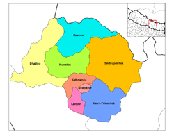
Country  Nepal
NepalRegion Central (Madhyamanchal) Zone Bagmati Area - Total 1,926 km2 (743.6 sq mi) Population (2001) - Total 338,658 - Density 175.8/km2 (455.4/sq mi) Time zone NPT (UTC+5:45) Dhading District(Nepali: धादिङ जिल्ला
 Listen (help·info), a part of Bagmati Zone, is one of the seventy-five districts of Nepal, a landlocked country of South Asia. The district, with Dhading Besi as its district headquarters, covers an area of 1,926 km² and has a population (2001) of 338,658.
Contents
Geography
The district spreads from 27'40" E to 28'17" E and 80'17"N to 84'35"N.[1] The mountain range "Ganesh" is the predominate mountain range located within Dhading. Some of the peaks are over 7,000 meters. The 8,000+ meter mountain "Manaslu" is clearly visible from much of Dhading, although it is located within the bounds of Gorkha. The transnational "King Prithivi Highway" connecting Kathmandu and Pokhara runs through the southern portion of the district making for easy access too the Kathmandu valley. The road parallels the "Trishuli" River.
The western border with Gorkha is bisected by the "Budhi Gandaki" river and this river valley is a great entrance to the Himals of Gorkha (with views of the Ganesh range), not to mention one of the prettier rivers of Nepal. The towns of Salantar and Arun Ghat should get you pointed in the right direction.
The district is bounded by-
- East:Kathmandu, Rasuwa, Nuwakot
- West: Gorkha
- North:Rasuwa and Tibet
- South: Makwanpur and Chitwan
Dhading District, a part of Bagmati Zone, is one of the seventy-five districts of Nepal, a landlocked country of South Asia. The district, with Dhading Besi as its district headquarters, covers an area of 1,926km² and has a population (2001) of 338,658. The mountain range "Ganesh" is the predominated mountain range located within Dhading. All of the peaks are over 7,000 meters with some approaching 8,000. The 8,000+ meter mountain "Manaslu" is clearly visible from much of Dhading, although it is located within the bounds of Gorkha. The transnational "King Prithivi Highway" connecting Kathmandu and Pokhara runs through the southern portion of the district making for easy access too the Kathmandu valley. The road parallels the "Trishuli" River.
Dhading is 80% farmland and 20% forest; unfortunately most of the protected forest is located near or next to the road which doesn't make for great trekking. But, the western border with Gorkha is bisected by the "Buri Gandaki" river and this river valley is a great entrance to the Himals of Gorkha (with views of the Ganesh range), not to mention one of the prettier rivers of Nepal. The towns of Salantar and Arun Ghat should get you pointed in the right direction.
The people of the district are primarily Bhramin and Chetri in the south and Tamang and Gurung in the north, with much of the center Newari. Gurkha route, the birth place of founder of Nepal King Prithivi Naryan Shah crosses through Dhading.
Rivers
The main rivers of the district are Trishuli river and Budhi Gandaki river. Budhi Gandaki separates the district from Gorkha district. There are 25 small rivers, the main being Charoudi, Malekhu, Galtukhola, Belkhukhola, Chirandikhola, Maheshkhola, Thopal, Manukhola, Kastekhola, Mastekhola, Surgandhi, Ankhusalyantar. Besides these, there are over 1743 smaller rivers, springs and seasonal streams.[2]
Demography
The people of the district are primarily Brahmin and Chhetri in the south and Tamang and Gurung in the north, with much of the center Newari. The famous King Prithivi Naryan Shah/Gurkha route crosses through Dhading.
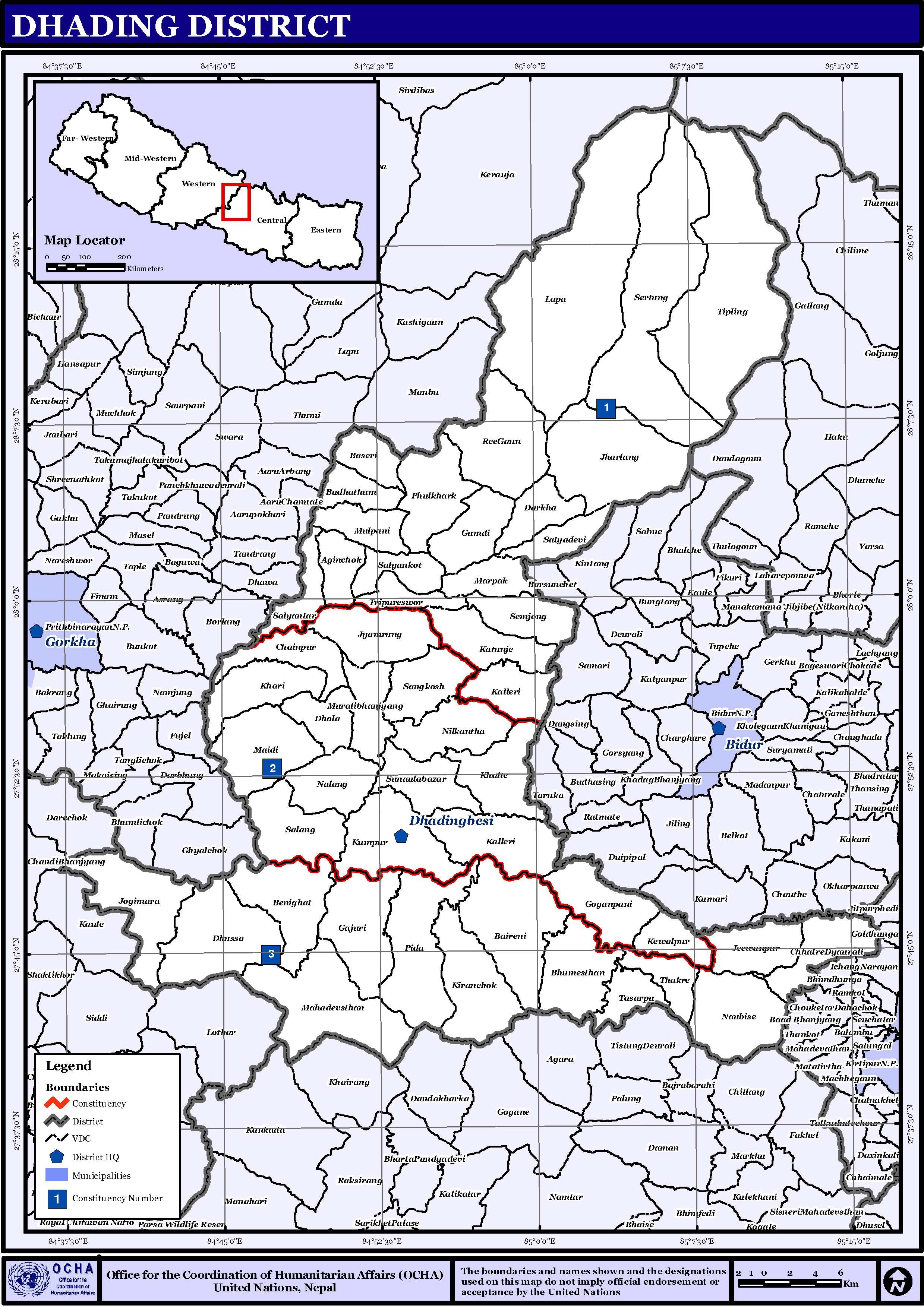
Towns and villages
 Map of the VDCs in Dhading District
Agnichok · Baireni · Baseri · Benighat · Bhumesthan · Budhathum · Chainpur · Chhatre Dyaurali · Darkha · Dhading Besi · Dhola · Dhussa · Dhuwakot · Gajuri · Gaunkharka · Gerkhu · Ghussa · Goganpani · Gumdi · Jeewanpur · Jharlang · Jogimara · Jyamaruk · Kalleri · Katunge · Kebalpur · Khalte · Khari · Kiranchok · Kumpur · Lapa · Mahadevsthan · Maidi · Marpak · Mulpani · Murali Bhanjyang · Nalang · Naubise · Nilkantha · Phulkharka · Pida · Ree Gaun · Salang · Salyankot · Salyantar · Sangkosh · Satyadevi · Semjong · Sirtung · Sunaula Bazar · Tasarpu · Thakre · Tipling · Tripureswor
See also
References
External links
- Official Website of Dhading district
- Districts of Nepal at statoids.com
Coordinates: 27°52′0″N 84°55′0″E / 27.866667°N 84.916667°E
Districts of Nepal Achham · Arghakhanchi · Baglung · Baitadi · Bajhang · Bajura · Banke · Bara · Bardiya · Bhaktapur · Bhojpur · Chitwan · Dadeldhura · Dailekh · Dang Deokhuri · Darchula · Dhading · Dhankuta · Dhanusa · Dolkha · Dolpa · Doti · Gorkha · Gulmi · Humla · Ilam · Jajarkot · Jhapa · Jumla · Kailali · Kalikot · Kanchanpur · Kapilvastu · Kaski · Kathmandu · Kavrepalanchok · Khotang · Lalitpur · Lamjung · Mahottari · Makwanpur · Manang · Morang · Mugu · Mustang · Myagdi · Nawalparasi · Nuwakot · Okhaldhunga · Palpa · Panchthar · Parbat · Parsa · Pyuthan · Ramechhap · Rasuwa · Rautahat · Rolpa · Rukum · Rupandehi · Salyan · Sankhuwasabha · Saptari · Sarlahi · Sindhuli · Sindhulpalchok · Siraha · Solukhumbu · Sunsari · Surkhet · Syangja · Tanahu · Taplejung · Terhathum · Udayapur
 Categories:


Wikimedia Foundation. 2010.