Humla District

Humla District

Infobox Nepal district
district = Humla District
area = 5,655
population = 40,595
pop_year = 2001
density =
caption =
region =
established =
languages =
website =


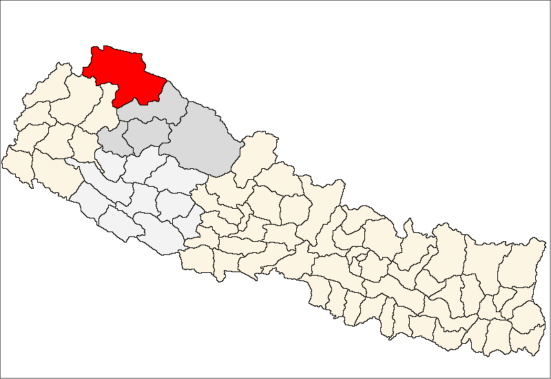
Humla District, a part of Karnali Zone, is one of the seventy-five districts of Nepal, a landlocked country of South Asia. The district, with Simikot as its district headquarters, covers an area of 5,655km² and has a population (2001) of 40,595.

The Northern part of Humla District is inhabited by Buddhists whereas in the Southern part mostly Hindus are living.

Towns and villages

Baraigaun,
Bargaun,
Chhipra,
Dami,
Dandafaya,
Gothi,
Hepka,
Jaur,
Kalika,
Kermi,
Khagalgaun,
Kharpunath,
Lali,
Lauthi,
Limi,
Madana,
Maila,
Melchham,
Mimi,
Muchu,
Raya,
Ripa,
Rodikot,
Sarkeedeu,
Saya,
Shree Nagar,
Shreemastha,
Simikot,
Syada ,
Thechaya,
Yanchu ,

ee also

*Zones of Nepal

References

*


Wikimedia Foundation. 2010.

Игры ⚽ Поможем написать курсовую

Look at other dictionaries:

  • District De Humla — हुम्ला जिल्ला …   Wikipédia en Français

  • District de humla — हुम्ला जिल्ला …   Wikipédia en Français

  • District De Dolpa — डोल्पा जिल्ला …   Wikipédia en Français

  • District de dolpa — डोल्पा जिल्ला …   Wikipédia en Français

  • District De Morang — मोरङ जिल्ला …   Wikipédia en Français

  • District De Sunsari — सुनसरी जिल्ला …   Wikipédia en Français

  • District de morang — मोरङ जिल्ला …   Wikipédia en Français

  • District de sunsari — सुनसरी जिल्ला …   Wikipédia en Français

  • District De Bhojpur (Népal) — Pour les articles homonymes, voir District de Bhojpur. District de Bhojpur भोजपुर जिल्ला …   Wikipédia en Français

  • District De Dhankuta — धनकुटा जिल्ला …   Wikipédia en Français

Share the article and excerpts

Direct link
Do a right-click on the link above
and select “Copy Link”