- Okhaldhunga District
-
Okhaldhunga
ओखलढुङ्गा— District — 
Country  Nepal
NepalRegion Eastern (Purwanchal) Zone Sagarmatha Area - Total 1,074 km2 (414.7 sq mi) Population (2001) - Total 156,702 - Density 145.9/km2 (377.9/sq mi) Time zone NPT (UTC+5:45) Okhaldhunga District(Nepali: ओखलढुङ्गा जिल्ला
 Listen (help·info), a part of Sagarmatha Zone, is one of the seventy-five districts of Nepal, a landlocked country of South Asia. The district, with Okhaldhunga as its district headquarters, covers an area of 1,074.5 km² and has a population (2001) of 156,702. Okhaldhunga is part of area traditionally called Wallo Kirat(near Kirat),home to indigenous ethnic groups Rai and Sunuwar. Apart from these indigenous ethnic groups,other ethnics and hill castes live in the district.
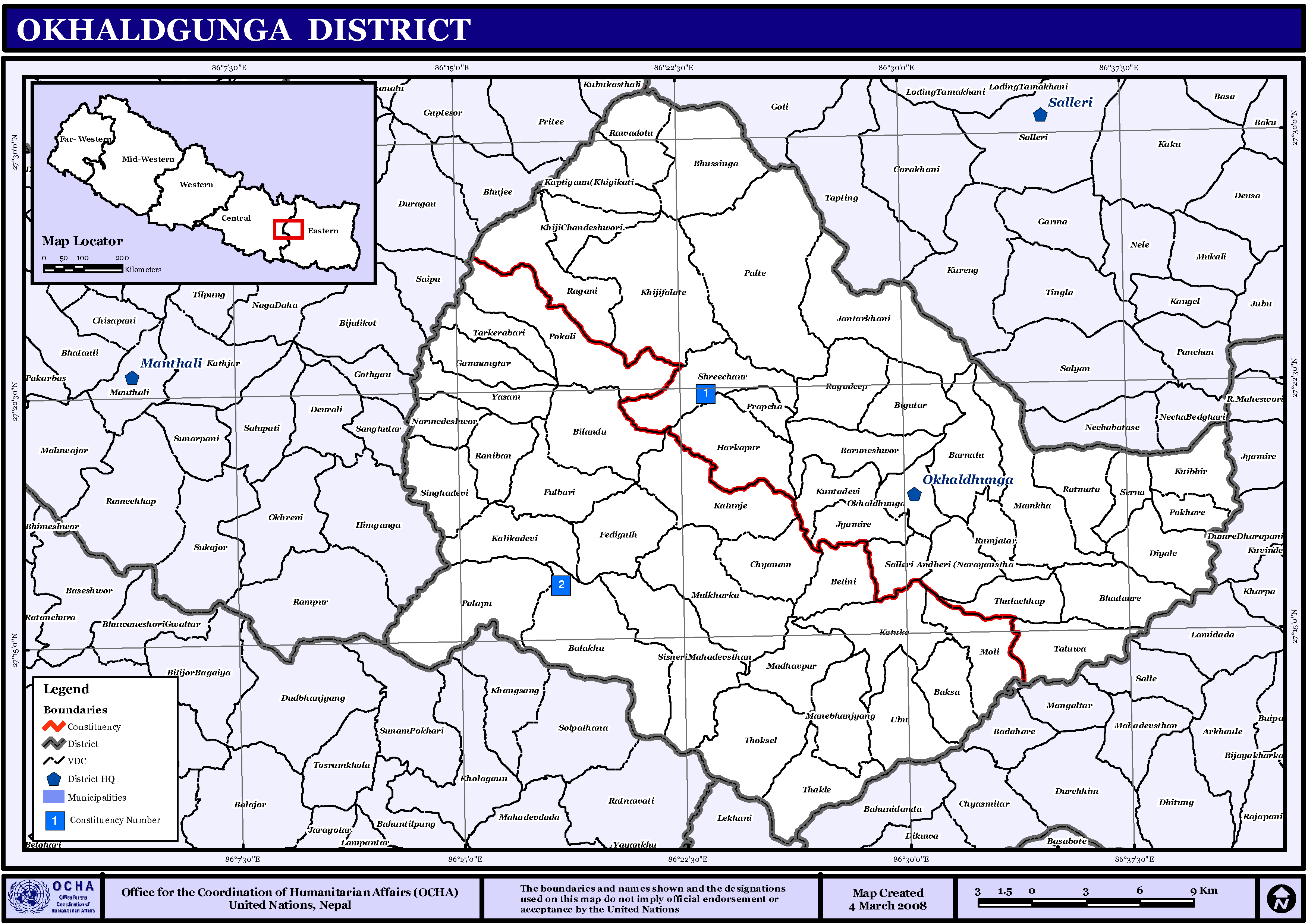
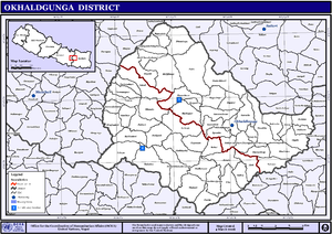 Map of the VDCs in Okhaldhunga District
Village Development Committees
The district contains the following VDCs:
Andhari, Baksa, Balakhu, Baraneshwor, Barnalu, Betini, Bhadaure, Bhussinga, Bigutar, Bilandu, Chyanam, Diyale, Fediguth, Fulbari, Gamnangtar, Harkapur, Jantarkhani, Jyamire, Kalikadevi, Kaptigaun, Katunje, Ketuke, Khiji Chandeshwori, Khijifalate, Kuibhir, Kuntadevi, Madhavpur, Mamkha, Manebhanjyang, Moli, Mulkharka, Narmedeshwor, Palapu, Patle, Pokhare, Pokli, Prapchan, Ragani, Rajadeep, Raniban, Ratmata, Rawadolu, Rumjatar, Salleri, Serna, Shreechaur, Singhadevi, Sisneri, Taluwa, Tarkerabari, Thakle, Thoksela, Thulachhap, Ubu, Vadaure, Yasam
See also
References
- Districts of Nepal at statoids.com
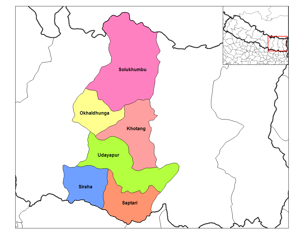
Districts of Nepal Achham · Arghakhanchi · Baglung · Baitadi · Bajhang · Bajura · Banke · Bara · Bardiya · Bhaktapur · Bhojpur · Chitwan · Dadeldhura · Dailekh · Dang Deokhuri · Darchula · Dhading · Dhankuta · Dhanusa · Dolkha · Dolpa · Doti · Gorkha · Gulmi · Humla · Ilam · Jajarkot · Jhapa · Jumla · Kailali · Kalikot · Kanchanpur · Kapilvastu · Kaski · Kathmandu · Kavrepalanchok · Khotang · Lalitpur · Lamjung · Mahottari · Makwanpur · Manang · Morang · Mugu · Mustang · Myagdi · Nawalparasi · Nuwakot · Okhaldhunga · Palpa · Panchthar · Parbat · Parsa · Pyuthan · Ramechhap · Rasuwa · Rautahat · Rolpa · Rukum · Rupandehi · Salyan · Sankhuwasabha · Saptari · Sarlahi · Sindhuli · Sindhulpalchok · Siraha · Solukhumbu · Sunsari · Surkhet · Syangja · Tanahu · Taplejung · Terhathum · Udayapur

Coordinates: 27°19′N 86°30′E / 27.317°N 86.5°E
Categories:- Okhaldhunga District
- Nepal geography stubs

Wikimedia Foundation. 2010.